
Riverview Road is an approximately seventeen-mile rural highway corridor which lines the Cuyahoga River. The corridor begins at Merriman Road in the city of Akron and extends north through Cuyahoga Valley National Park to Brookside Road in the city of Independence. Riverview Road is plotted along the historic corridors of the Ohio & Erie Canal and Valley Railroad. The corridor was designated as part of the 110-mile-long Ohio & Erie Canalway Scenic Byway during June 2000.

Part 1; the history of Riverview Road
Riverview Road follows the general corridor of the Ohio & Erie Canal along the Cuyahoga River. Said canal was completed during 1827 as a navigable waterway between Lake Erie in Cleveland south to the Ohio River in Portsmouth. In 1861 freight traffic on the Ohio & Erie Canal was shuttered which led to an economic decline in the communities along the Cuyahoga River. The canal was repurposed to supply water to the industrial communities it still served.
What is now Riverview Road can be seen on the 1868 H.H. Lloyd & Company Atlas of Ohio spanning from Independence (Cuyahoga County) south to Akron (Summit County).


The Cuyahoga River Valley saw an economic resurgence when the Valley Railway opened as a short line between Cleveland and Zoarville in 1880. Much of the line followed the Ohio & Erie Canel along the general corridor Riverview Road. The Ohio & Erie Canal would be abandoned in 1913 after it was severely damaged by floods.
Cuyahoga Valley National Recreation Area was declared in December 1974 which brought much of Riverview Road into the boundary of a National Park Service managed area. During 1975 an abandoned portion of the Valley Railway would reopen as the Cuyahoga Valley Scenic Railroad. During October 2000 Cuyahoga Valley National Recreation Area would become a National Park. Much of the Riverview Road corridor was designated as part of the 110-mile-long Ohio & Erie Canalway Scenic Byway during June 2000.
Part 2; a drive on Riverview Road
Westbound Bolanz Road in Summit County crosses the Cuyahoga River and Ohio & Erie Canel to a terminus at Riverview Road in Everett. Much of Riverview Road north Bolanz Road dips in and out of Cuyahoga Valley National Park. Riverview Road in Summit County is part of County Route 9. The corridor north from Akron to Everett is part of the Ohio & Erie Canalway.


Northbound Riverview Road crosses Furnace Run and passes through the community of Everett where it intersects Everett Road. Everett was a siding on the Valley Railroad which obtained Post Office Service in 1880. The community is named after railroad official Sylvester T. Everett. Westbound Everett Road can be used to access Everett Covered Bridge.


Everett Road continues north to the community of Peninsula where it intersects Ohio State Route 303. Peninsula was settled in 1818 and was formally plotted in 1837. Peninsula is known for having an assortment of structures listed on the National Register of Historic Places.


Riverview Road north of Peninsula crosses under Interstate 80.


Riverview Road crosses under Interstate 271 and enters the community of Boston Mills where it intersects Boston Mills Road. Boston Mills was plotted along the Cuyahoga River following the completion of the Ohio & Erie Canal in 1827. The Boston Mills Historic District was declared on November 9, 1992, when it was added to the National Register of Historic Places.


Riverview Road continues north to the Cuyahoga County line where it enters the city of Brecksville.


Riverview Road continues north and intersects Chippewa Creek Drive. Traffic can turn east to find the 1882 Station Road Bridge at the Cuyahoga River.


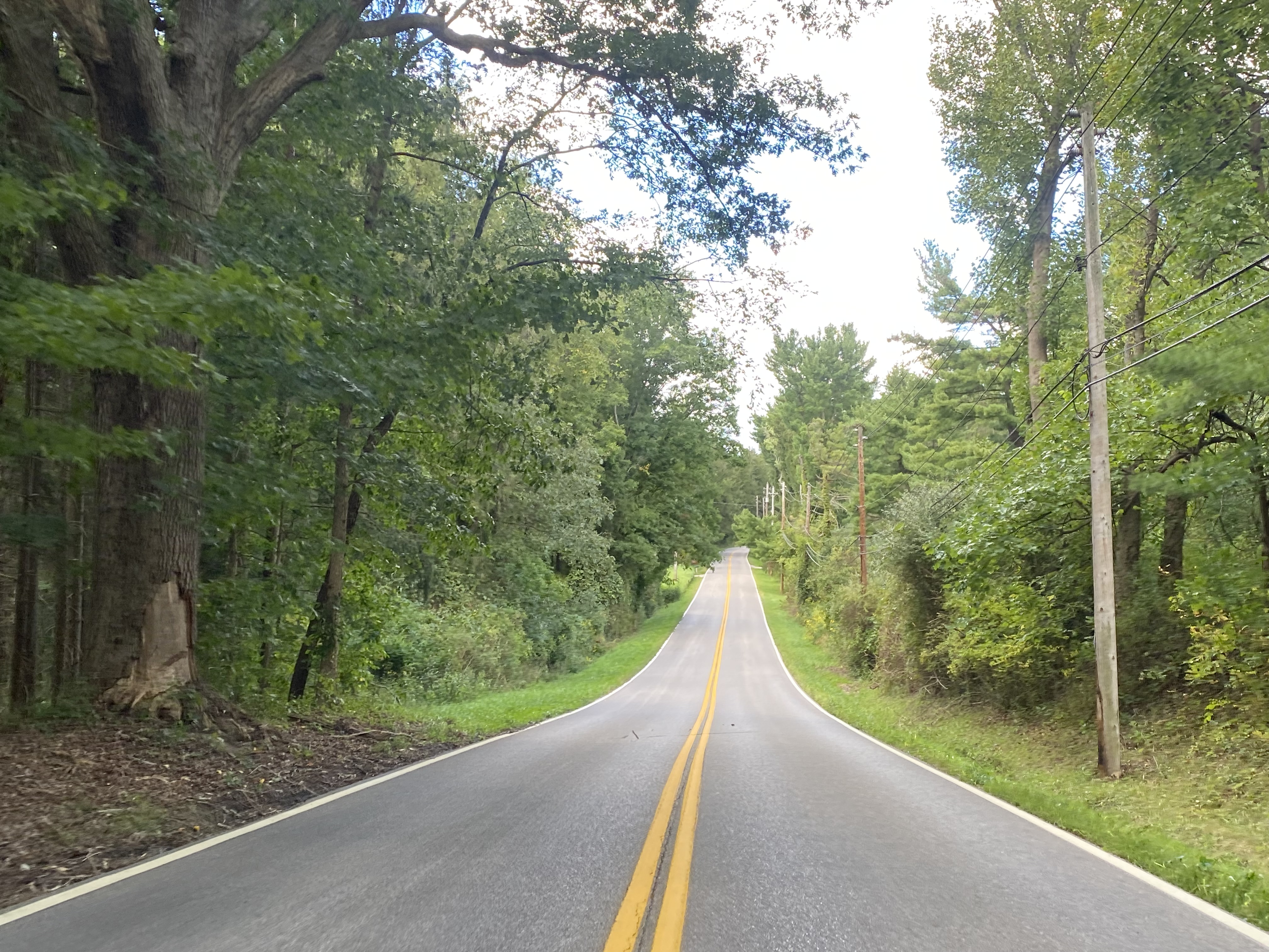


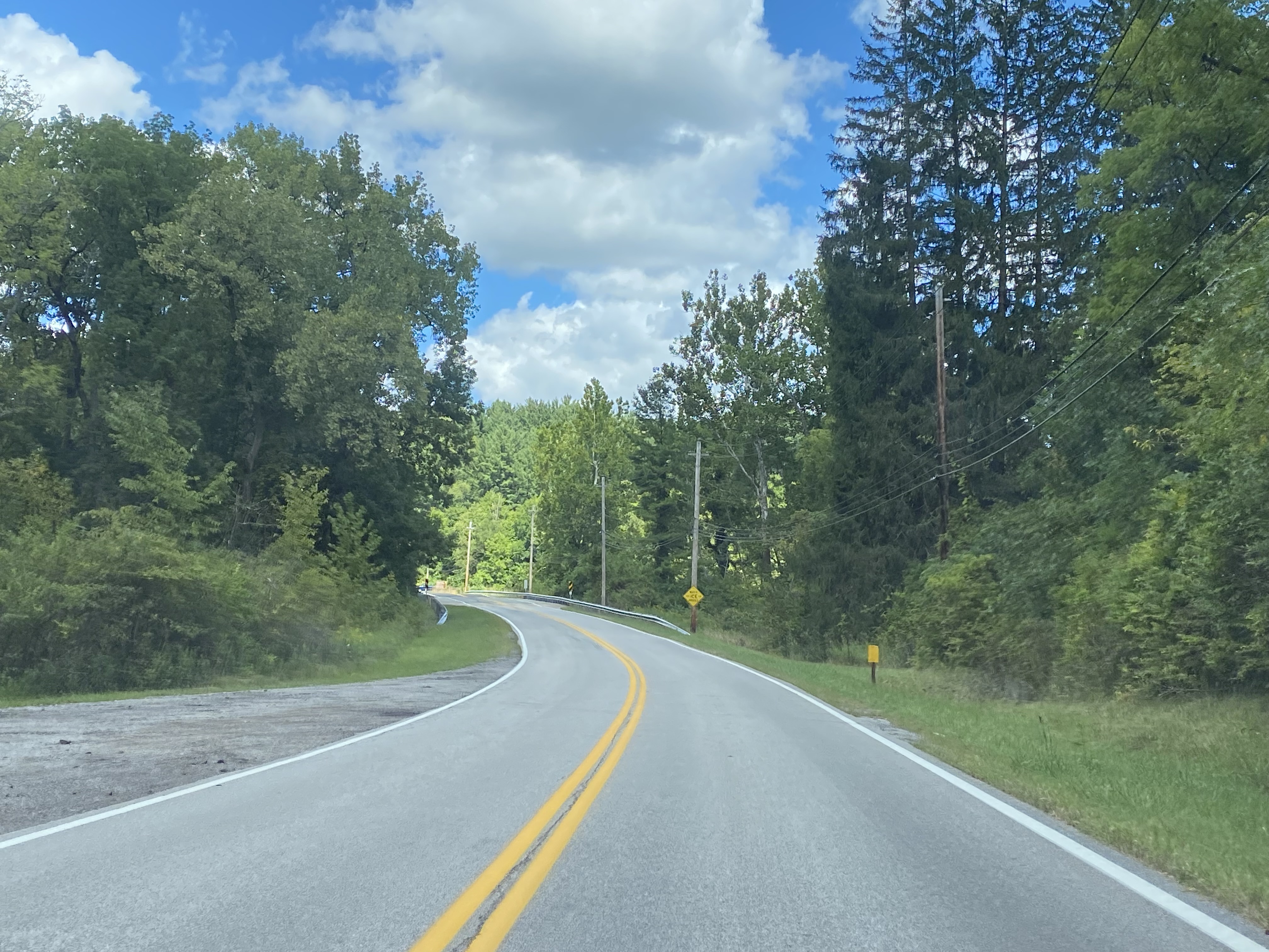

Northbound Riverview Road climbs to Ohio State Route 82. The Ohio & Erie Canalway Scenic Byway shifts onto eastbound Ohio State Route 82 towards the 1931 Brecksville-Northville High Level Bridge.


Comments