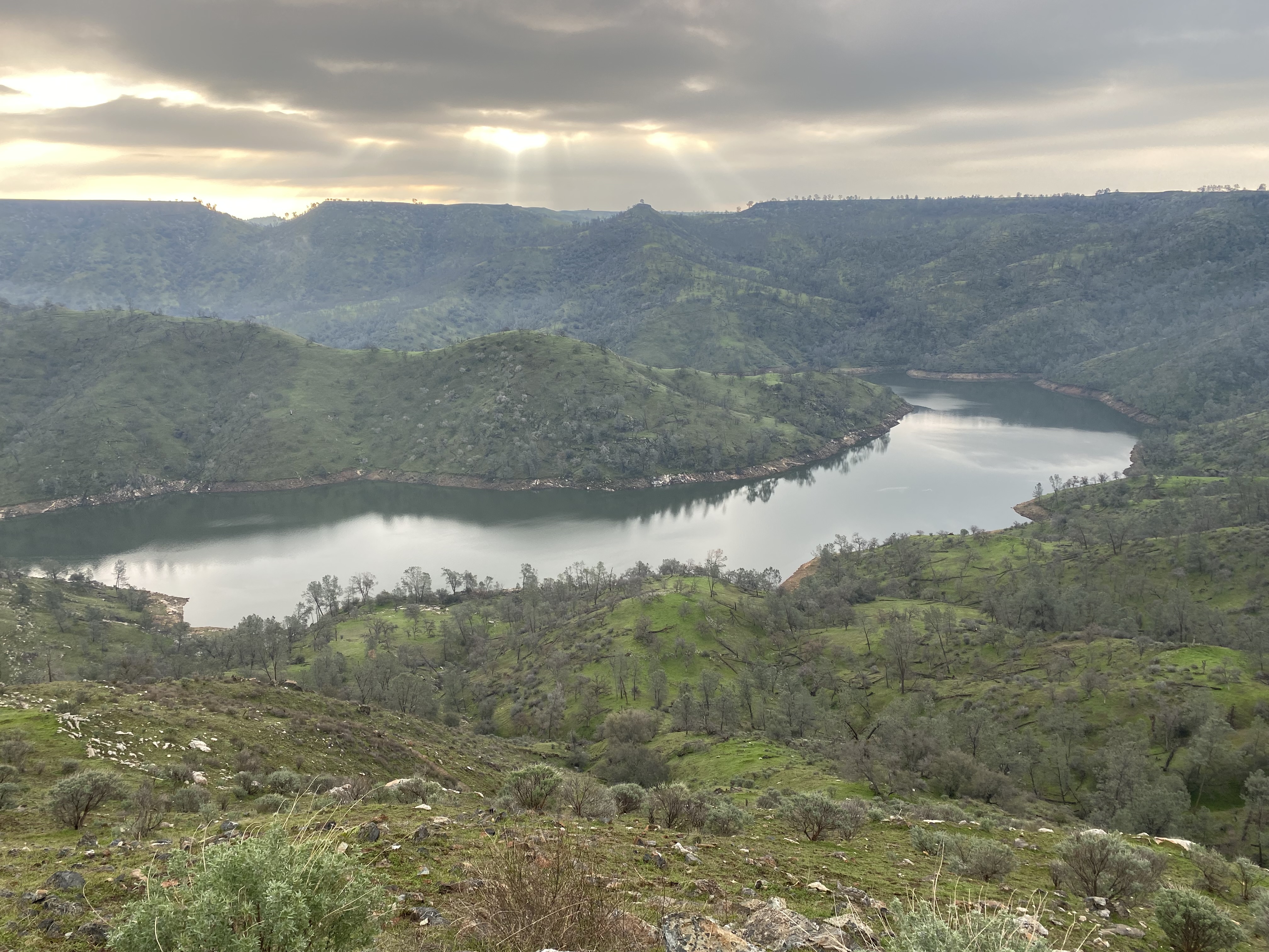
Pincushion Peak and Sky Harbour Road


Sky Harbour Road is an approximate six-mile highway in the Sierra Nevada Mountains foothills of northern Fresno County.  Sky Harbour Road begins at Millerton Road at Table Mountain Rancheria.  From Millerton Road, Sky Harbour Road follows the eastern shore of Millerton Lake to the South Finegold Picnic Area.  The San Joaquin River Trail and Pincushion Peak Trail are both accessible from the South Finegold Picnic Area.  


Part 1; the history of Sky Harbour Road

The South Finegold Picnic Area is part of the Millerton Lake State Recreation Area.  The Millerton Lake State Recreation Area was formed as part of the completion of Friant Dam during 1944 along the San Joaquin River.  Millerton Lake flooded over the original Fresno County seat of Millerton but opened up numerous recreational opportunities.  

The Finegold Jeep Trail first appears on the 1965 United States Geological Survey Map of Millerton Lake and 1964 United States Geological Survey Map of Friant.  The Finegold Jeep Trail originated at Table Mountain Rancheria at Millerton Road and connected the trailheads for the San Joaquin River Trail and Pincushion Peak Trail.  


The Finegold Jeep Trail appears on the 1980 United States Geological Survey Maps of Millerton Lake and 1982 United States Geological Survey Map of Fresno as a paved road.  It is unclear when the name Sky Harbour Road was designated but it likely was concurrent with the Finegold Jeep Trail being paved.  


Part 2; a drive on Sky Harbour Road and hike up Pincushion Peak

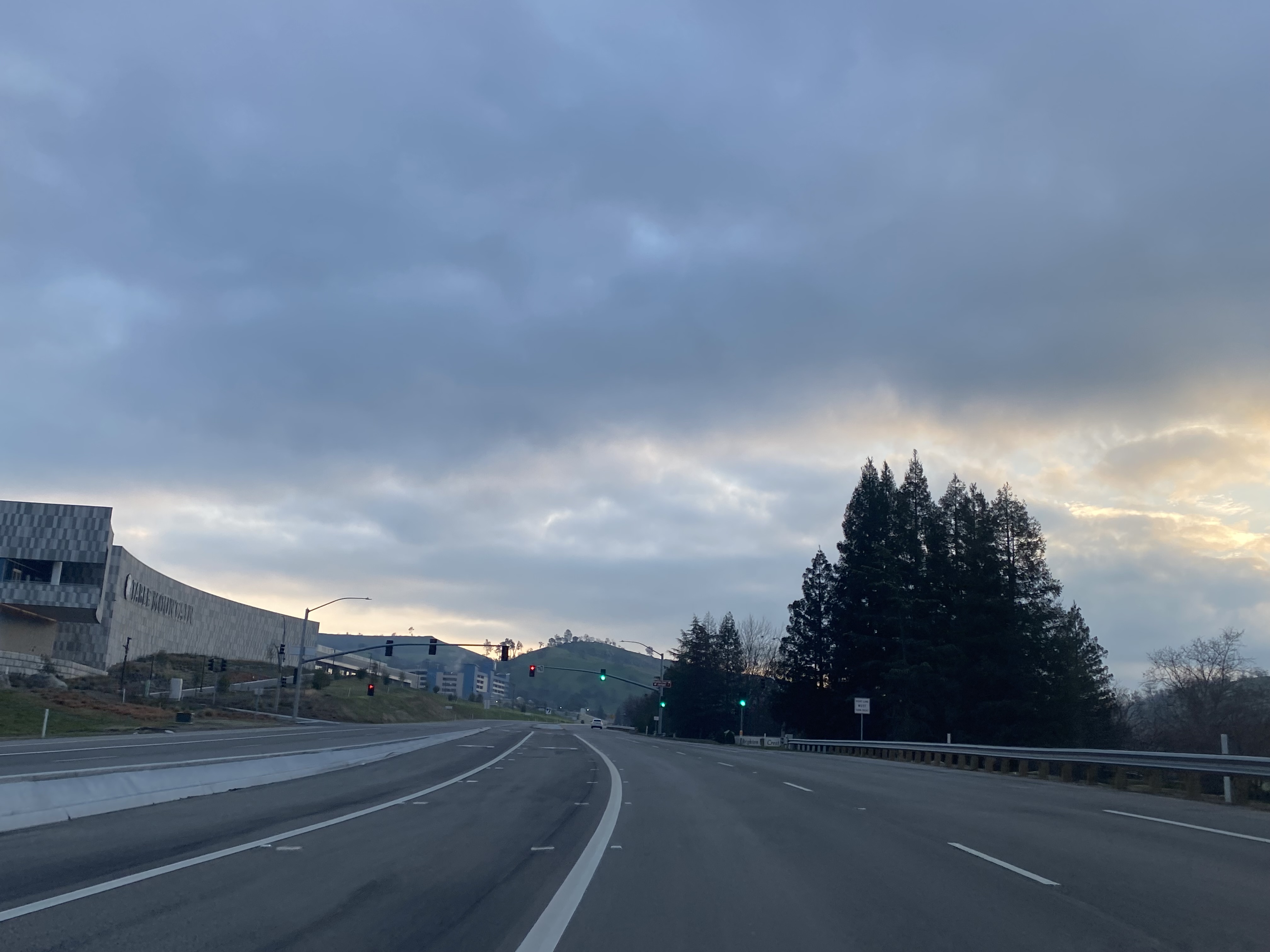
Sky Harbour Road northbound begins from Millerton Road at Table Mountain Rancheria near the entrance to Table Mountain Casino. 


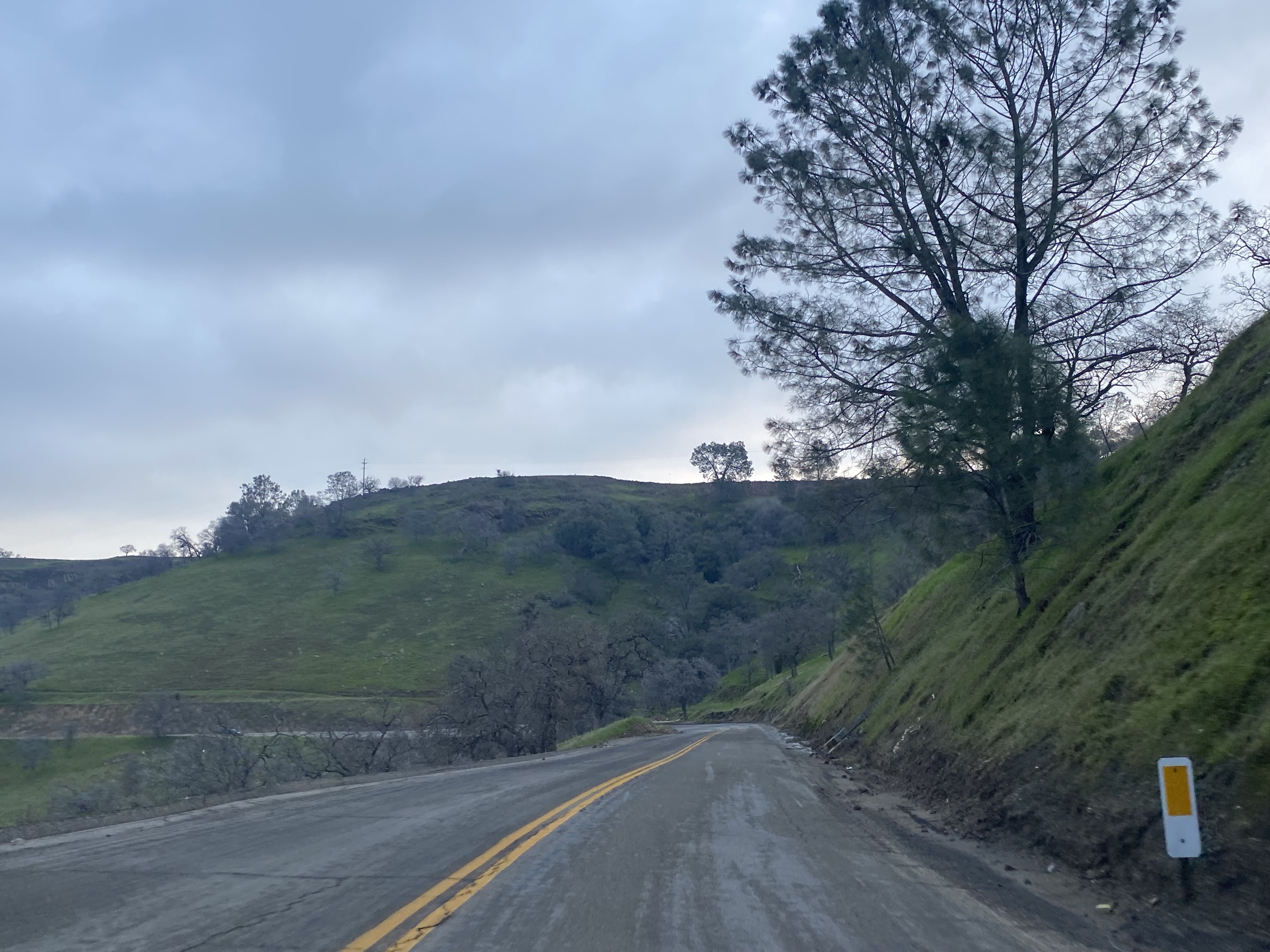
Northbound Sky Harbour Road begins with a climb through an excavated cut which emerges onto a bluff near the Table Mountain Rancheria tribal office.  


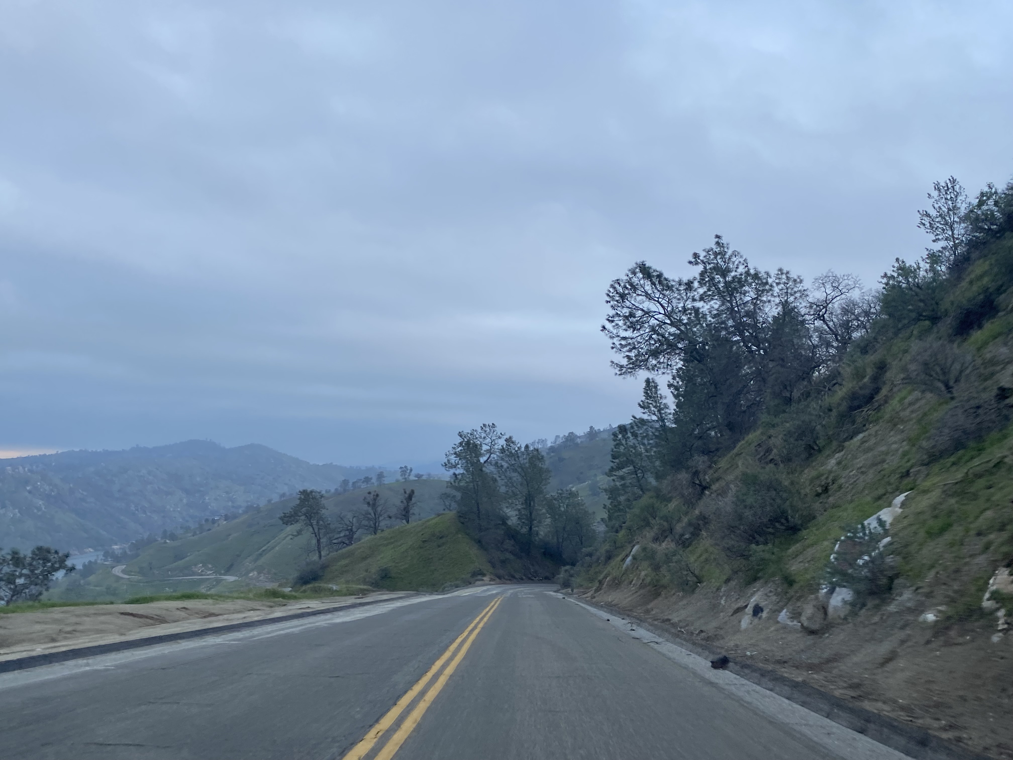
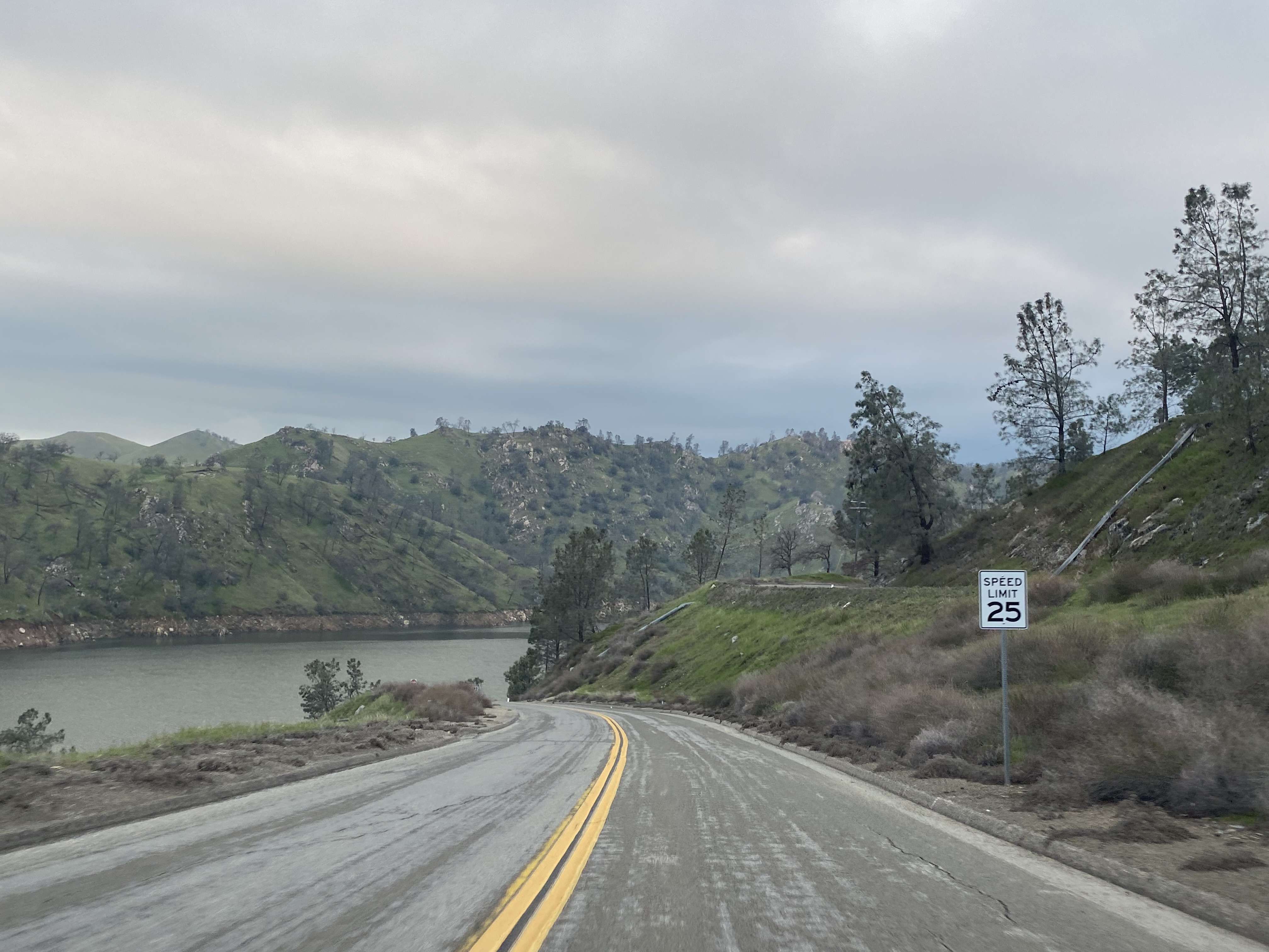
Northbound Sky Harbour Road skirts the edge of the Millerton Lake State Recreation Area and passes by the southern trailhead of the Pincushion Peak Trail. 


Sky Harbour Road passes through a series of lakeside homes and ends at the gate for the South Finegold Picnic Area.  


Pincushion Peak is listed as 1.2 miles from the San Joaquin River Trailhead.  


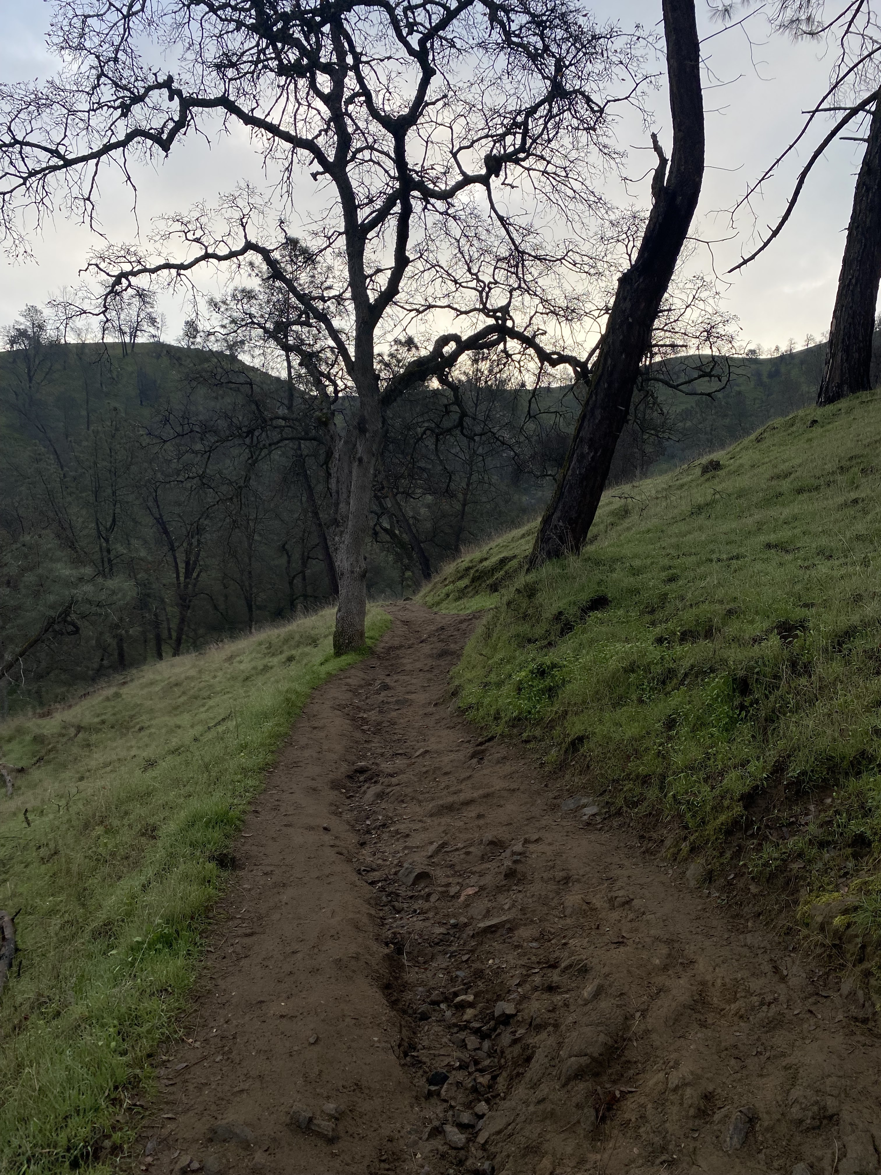
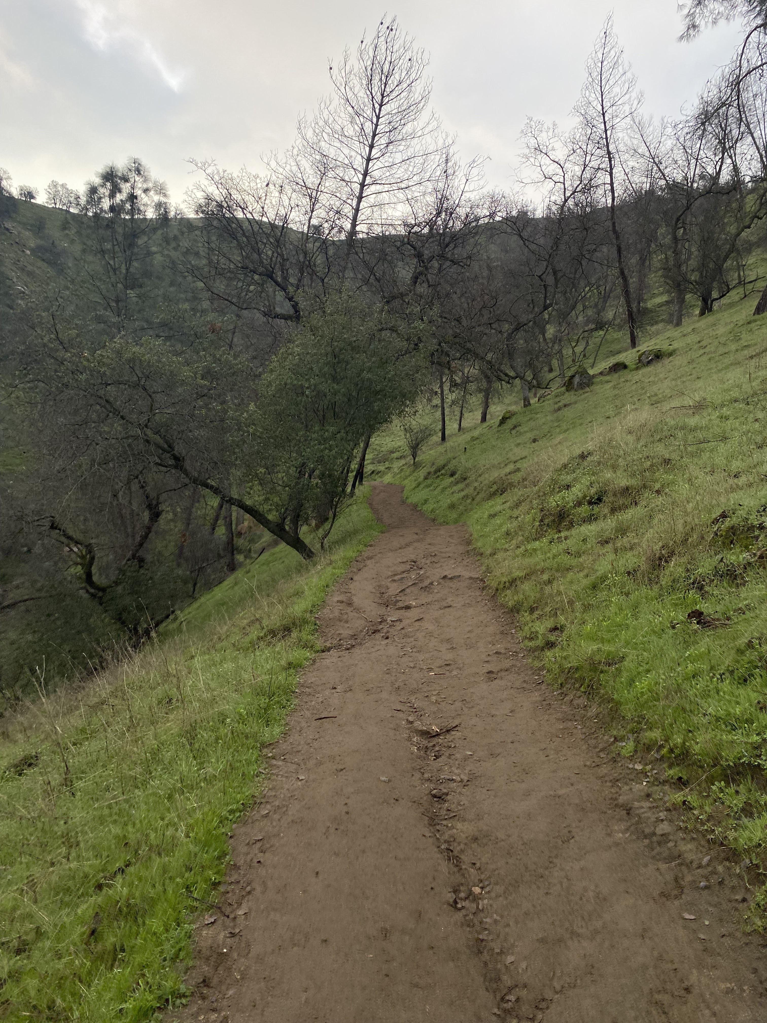
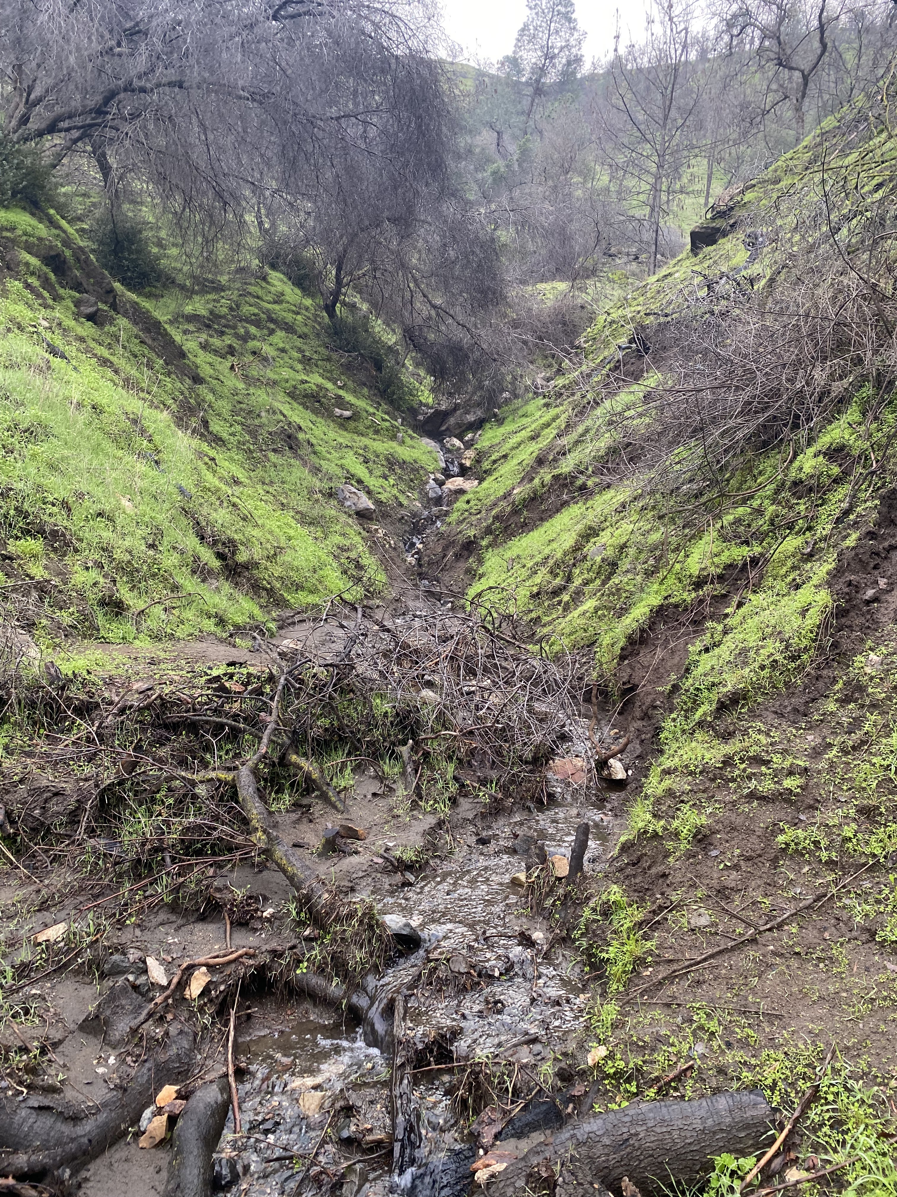
The San Joaquin River Trail gradually climbs to the unmarked north trailhead for the Pincushion Peak Trailhead.  The right branch on the last photo below is the north trailhead towards Pincushion Peak. 


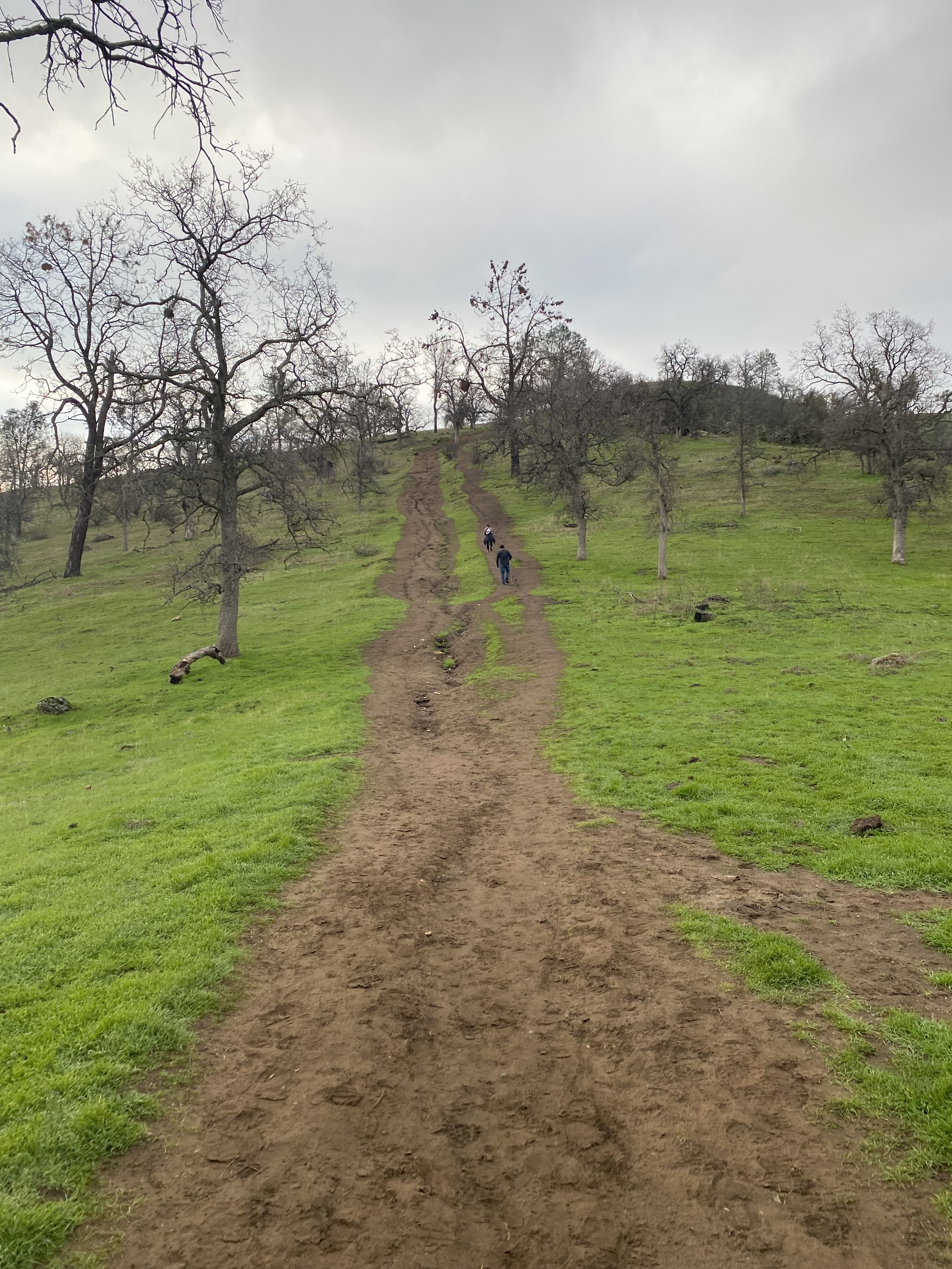
From the San Joaquin River Trail, the trail up to Pincushion Peak is heavily inclined and gains approximately 500 feet in elevation in less than a half mile.  


From Pincushion Peak there are unobstructed vistas of the San Joaquin River Gorge and Millerton Lake.


Comments

Popular posts from this blog

The case to move Interstate 73 in Southern Ohio onto US 33

Every decade or so, Ohio pushes to revisit the proposed Interstate 73 that would connect Michigan to Myrtle Beach, South Carolina.  It's been happening since Congress legislated the route in 1991.  Within Ohio, Interstate 73 generally follows the US 23 corridor from Portsmouth through Columbus to Toledo, and into Michigan. Since High Priority Corridor Five was created , Ohio has really done nothing to move forward with Interstate 73.  Sure, there have been feasibility studies here and there.  But actual dollars and construction just haven't occurred. The US 33 Nelsonville Bypass appears to have been built to Interstate standards. However, Ohio has been slowly upgrading US 33 to a full freeway through Southeastern Ohio.  Bypasses of Lancaster and Nelsonville opened in 2004 and 2013, respectively.  Other sections of two-lane road are being twinned, some to freeway or, at a minimum, to expressway standards.  Currently, a $274 million widening project in...

Local Sign Find - The last remnant of Business Interstate 95 between Kenly and Rocky Mount , NC

As you head north on Interstate 95 at Exit 107 for Kenly and US 301, you'll notice something odd about the overhead sign for the exit.  Peeling off the sign for all that can see is the word 'NORTH' off-center from the US 301.  This old sign (probably close to original from when this section of I-95 opened - more on that in a little bit) gives a hint to a short-lived Business Interstate Route that ran from here to Rocky Mount. The last hint of the Kenly-Wilson-Rocky Mount Business I-95 (Shaun White - August 2020) Interstate 95 in North Carolina has a unique history.  But one of the overlooked and forgotten pieces of Interstate 95 in North Carolina is the 38 mile section between Kenly and Rocky Mount.  When opened to traffic in late 1978, it was the next to last piece of Interstate 95 in North Carolina to open replacing a four lane US 301 from Battleboro through Rocky Mount and Wilson to eventually tying back into the Interstate in Kenly. Though it was not delayed in l...

Nostalgia fast food with style - Returning to Rax

Nostalgia. It sells. It evokes, and more accurately, warps memories of days gone by.  Things were better, simpler, and we eat it up. Nostalgia can make you drive three hours and over a hundred miles out of your way just to reconnect with a dying fast-food restaurant you last enjoyed in the early to mid-90s.  That person was me - that restaurant was Rax. I could go on about Rax's history, but in short, Rax was briefly a very popular roast beef fast-food chain.  Growing up in the 80s and early 90s in Western PA, Rax was the good fast-food spot.  The milkshakes.  (Personally, the chocolate chip milkshake was heaven.)  Uncle Alligator Kids Meal with the chocolate chip cookie. Take that McDonald's Happy Meal!  The fancy salad and hot foods bar.  Going to Rax was special.  Like so many similar restaurants, various investments, management decisions, etc., led Rax to almost disappear overnight.  By the time I graduated college in late 1999, abou...