Millerton Road is an approximately twelve-mile Fresno County highway located in the foothills of the Sierra Nevada Mountains. Millerton Road begins at the intersection Friant Road/North Fork Road in Friant and ends at California State Route 168/Morgan Canyon Road near Prather. The eastern six miles of Millerton Road is a single lane which follows Little Dry Creek. Millerton Road is named after the original Fresno County seat of Millerton and was constructed to connect the community to the Tollhouse Road during the 19th Century.
Part 1; the history of Millerton and Millerton RoadMillerton traces it's origins back to the founding of Fort Miller during the Mariposa War of 1851. Fort Miller was a fortification on the south bank of the San Joaquin River originally designated as Camp Barbour but was ultimately renamed during 1852. The community of Millerton came to grow around Fort Miller and remained even after the fortification was abandoned during 1858.
During 1856 Fresno County was created from parts of Mariposa County, Merced County, and Tulare County. Millerton was selected as the original County Seat of Fresno County due to it's ferry location on the Stockton-Los Angeles Road at the San Joaquin River. Milleton's ferry was located on a narrow canyon above the San Joaquin River which made crossings ideal due to the predictable width of the waters.
In Fresno County the Stockton-Los Angeles Road crossed the Fresno River at Fresno Crossing. From Fresno Crossing the route of the Stockton-Los Angeles Road continued to Millerton where it crossed the San Joaquin River. The next major crossing along the Stockton-Los Angeles Road was on the Kings River at Campbell's Crossing a couple miles north of modern-day Reedley. Millerton and Fort Miller can be seen on the Stockton-Los Angeles Road on the
1857 Britton & Rey's Map of California.

The Fresno County Courthouse was constructed in 1866 and opened during 1867 at Millerton. Millerton being located on the free-flowing San Joaquin River was subject to sporadic and heavy flooding. During December of 1867 Millerton suffered a major flood which would trigger a decline in the community. By 1872 Millerton had been bypassed to the south by the newly created Southern Pacific Railroad. A small rail siding by the name of Fresno Station began to attract residents away from Millerton due to it being located on the Southern Pacific Railroad and above the flood plain of the San Joaquin River. During 1874 Fresno County voters decided to move the County Seat to Fresno Station which eventually grew into the City of Fresno.
Despite the decline of Millerton, the community remained inhabited through the 19th Century. During the late 19th Century what is now known as Millerton Road was constructed. Millerton Road connected the community to Millerton to the Tollhouse Road via the small community of Thermal. Millerton Road can be seen on the
1891 Thompson Atlas of Fresno County. Note: What is now Friant can be seen as Hamptonville.
Millerton Road can be seen realigned as beginning at Friant on the
1911 Denny Map of Fresno County. Note: Friant is shown as Pollasky despite the community being reassigned to it's modern name during 1907.
Millerton Road can be seen on the
1935 Division of Highways Map of Fresno County. Millerton Road between Friant and Auberry Road is shown to be a moderated traveled county highway with a traffic survey showing 100-500 vehicles using it daily. Millerton Road east of Auberry Road to Morgan Canyon Road is shown to be a minor Fresno County highway. Notably, Millerton and Thermal are not displayed as locales by the Division of Highways.
The remains of Millerton were dismantled during 1940 to make way for the Lake Millerton Reservoir. Friant Dam was completed during 1942 which inundated the Millerton town site. The original Fresno County Courthouse from Millerton was relocated to a bluff above Millerton Lake and was rebuilt by 1944.
Presently Fresno County is planning to widen Millerton Road to four-lane expressway standards from
Friant to Table Mountain Rancheria. Phase 1 of the Millerton Road widening project covers the 1.7-miles from Friant to the Millerton Lake State Recreation Area entrance. Phase 2 consists of the 3 remaining miles east to Table Mountain Rancheria.
Part 2; a drive on Millerton Road
Millerton Road eastbound begins at the intersection of Friant Road and North Fork Road in Friant. What is now Friant was settled during 1852 on the San Joaquin River as Converse Ferry. As noted in Part 1 Friant took it's modern name during 1907. Friant has previously been known as Converse Ferry, Converse, Jone's Ferry, Jonesville, Hamptonville and Pollasky.
Millerton Road passes by Friant Dam and climbs eastward to the Millerton Lake State Recreation Area main entrance.
Millerton Road eastbound enters Table Mountain Rancheria and intersects Sky Harbor Road which serves as an entrance to Table Mountain Casino and access to the South Finegold Picnic Area. Table Mountain Rancheria was founded during 1916 and consists of 61-acres. Table Mountain Rancheria is populated by Chukchansi band of Yokut and Mono tribal members. The original Table Mountain Casino opened during 1987 and the present replacement opened on
July 21, 2022.
Millerton Road continues east of Table Mountain Rancheria and intersects Auberry Road. Millerton Road and Auberry Road begin a somewhat ambiguous overlap.
Millerton Road eastbound briefly overlaps Auberry Road and splits away at what was once the town site of Thermal.
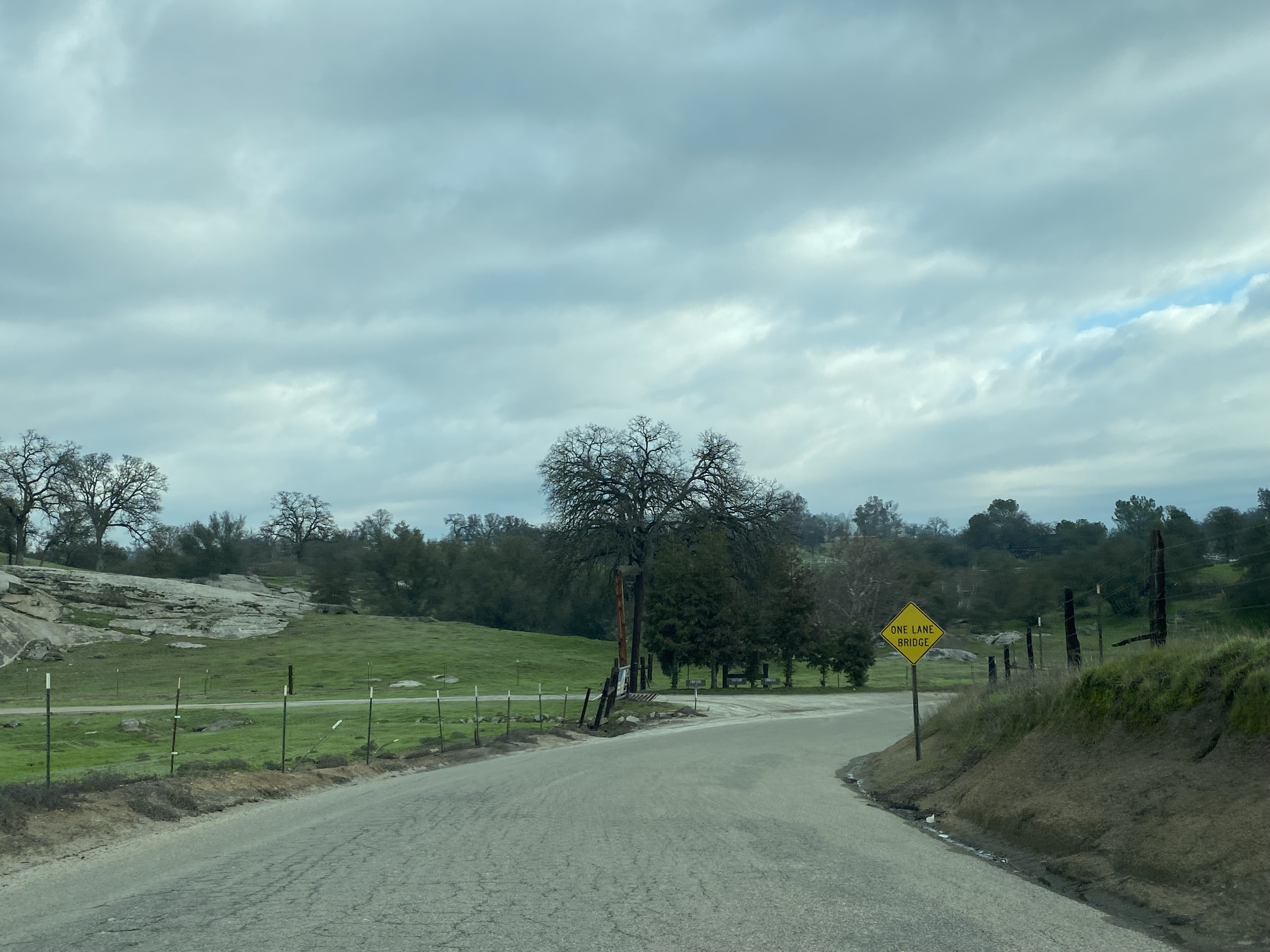
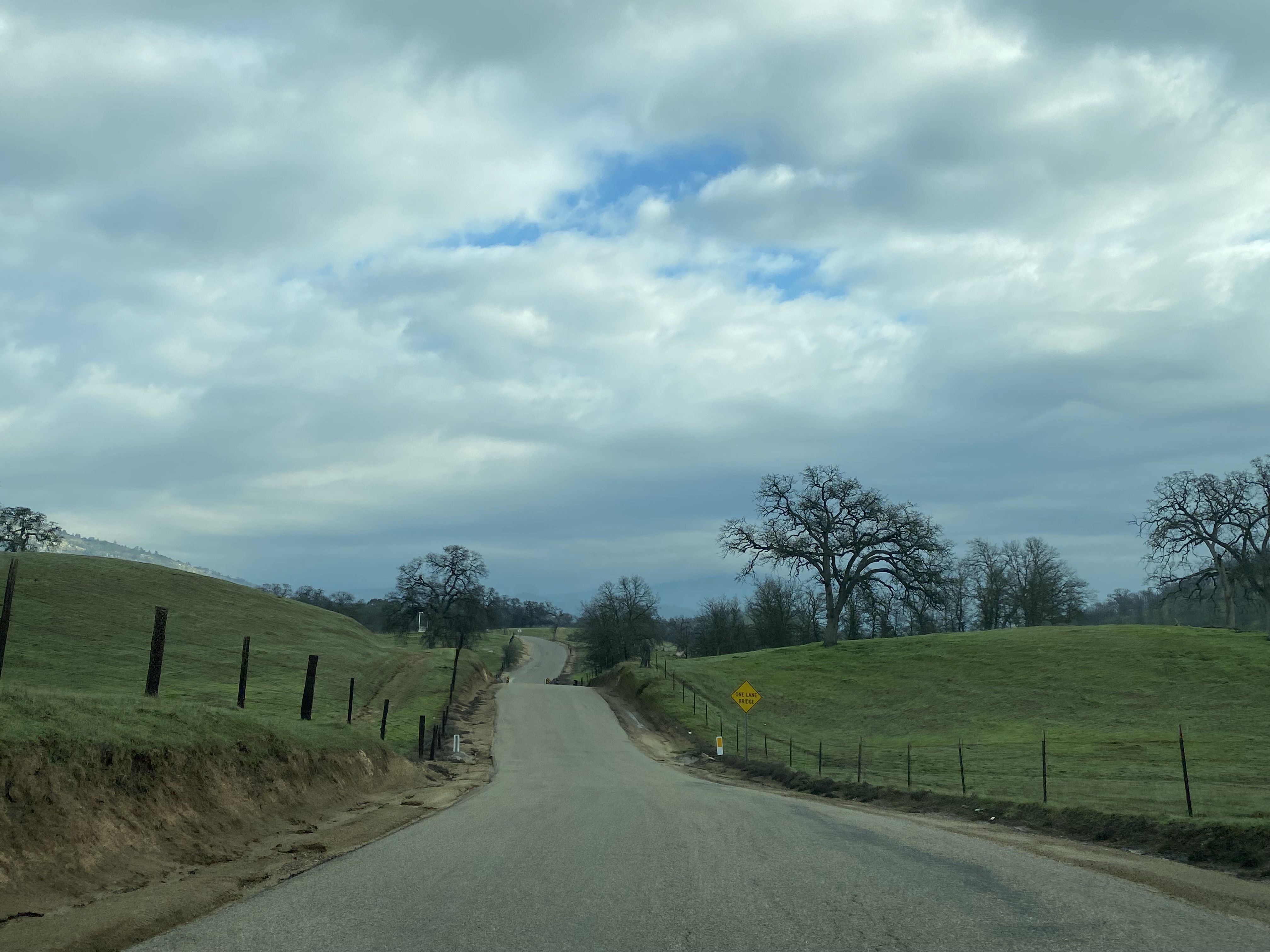
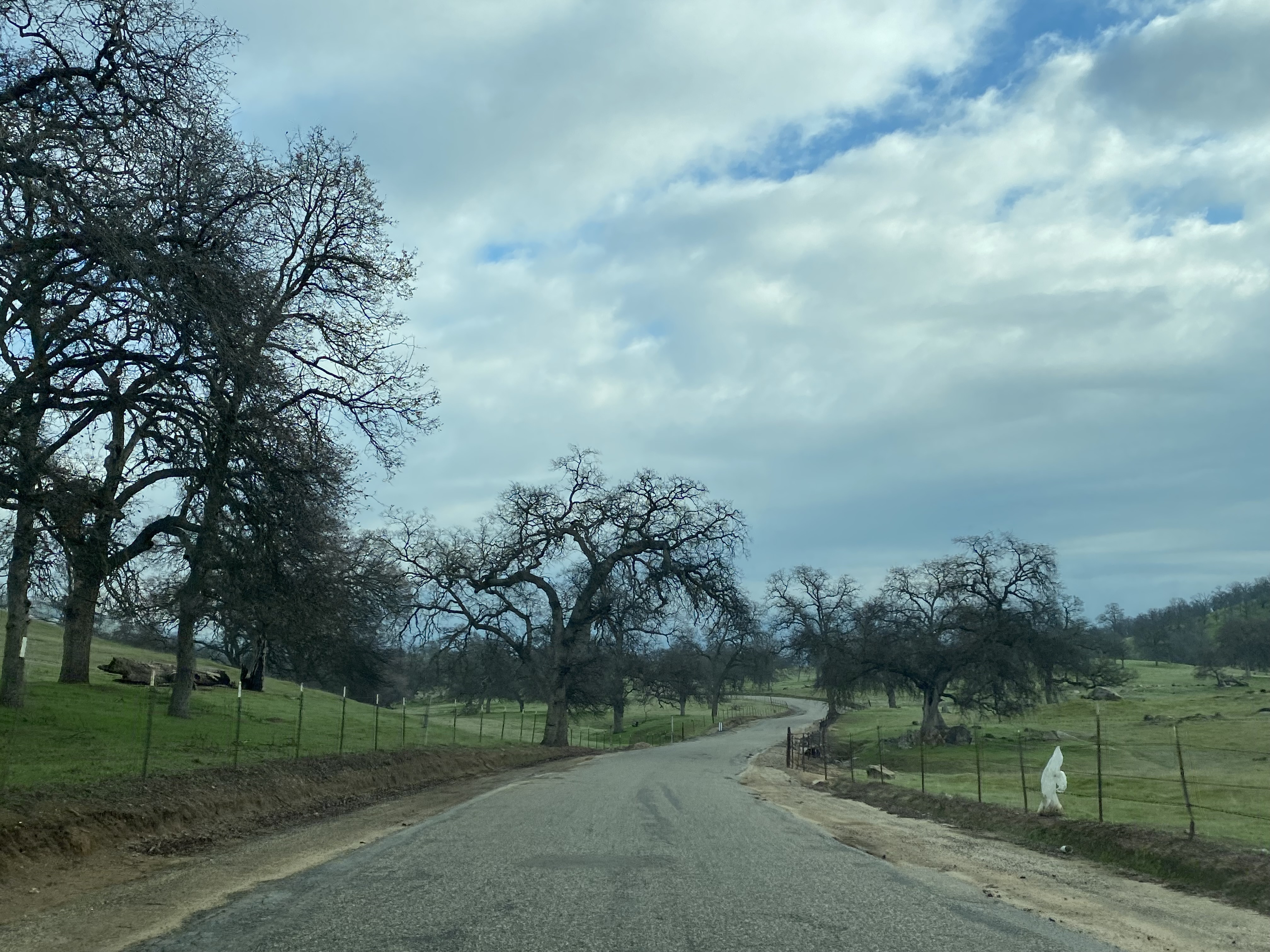
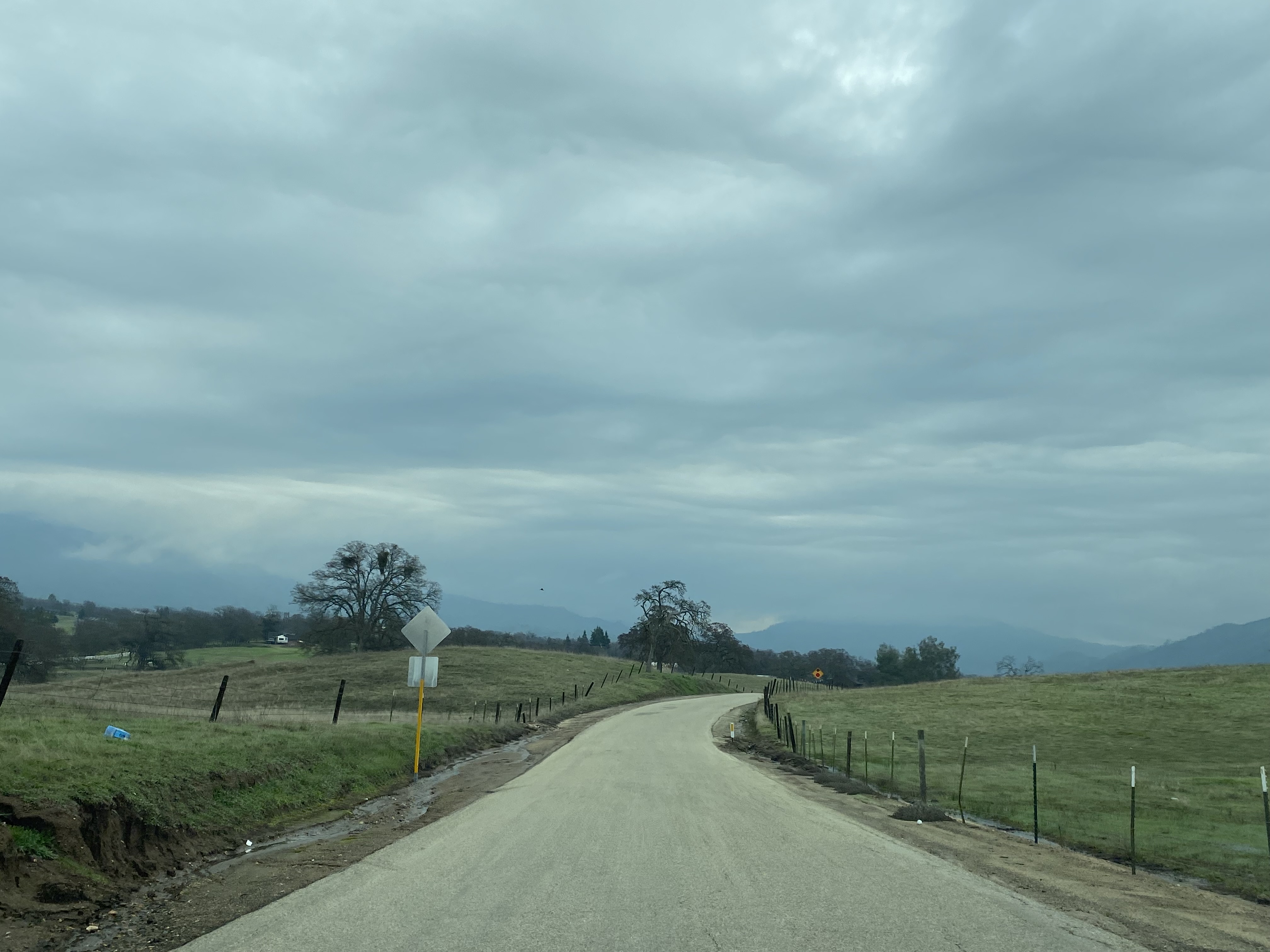
The eastern segment of Millerton Road quickly drops to a single lane and crosses Little Dry Creek.
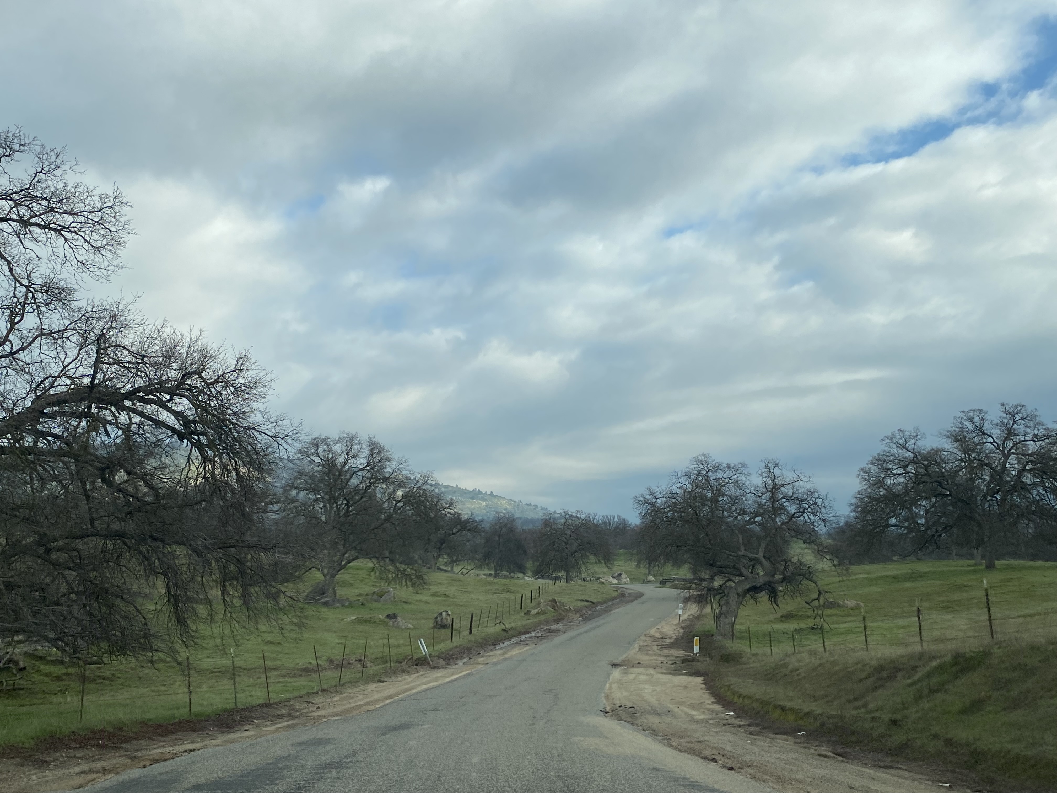
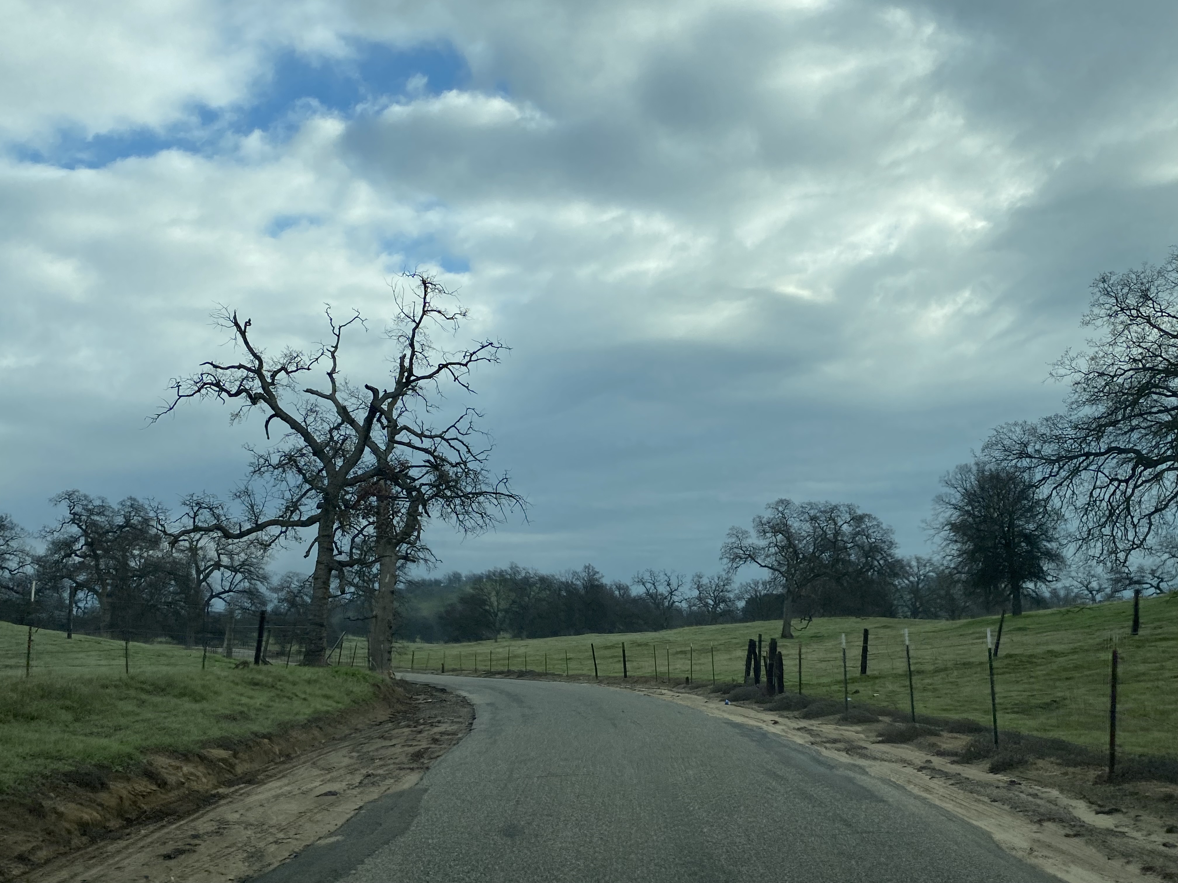
Millerton Road continues east along Little Dry Creek as a one-lane highway. Millerton Road terminates at California State Route 168/Morgan Canyon Road near Prather. For unknown reasons the one-lane eastern segment of Millerton Road appears as "Old Millerton Road" on some mapping applications.










Comments