Former US Route 99 in Cottonwood of southern Shasta County, California was located on Main Street in the community. Pictured above is former US Route 99 on Main Street upon crossing the Cottonwood Creek Bridge northbound towards the Southern Pacific Railroad Subway as depicted in the February 1931 California Highways & Public Works. Below is a image from the 1935 Division of Highways Map of Shasta County depicting US Route 99 following Main Street on Legislative Route Number 3 through Cottonwood. Presently much of former US Route 99 in Cottonwood is carried by Tehama/Shasta County Route A17.
This blog is part of the larger Gribblenation US Route 99 Page. For more information pertaining to the other various segments of US Route 99 and it's three-digit child routes check out the link the below.
Part 1; the history of US Route 99 in Cottonwood
Cottonwood is located on Cottonwood Creek near the Shasta County/Tehama County Line. Cottonwood traces it's origins to the California Gold Rush when it was settled as a stage stop in 1849. Cottonwood became a popular stage stop due to it's proximity to the mines of Shasta and the California-Oregon Trail. Cottonwood received it's first Post Office service beginning in 1852. In 1859 immigrant Jacob Foster purchased 240 acres of land north of Cottonwood Creek where the modern town site began to develop. Foster constructed a hotel in Cottonwood which soon became a popular stopping point on the California-Oregon Trail. Cottonwood obtained rail service in 1872 when the Southern Pacific Railroad constructed it's line northward towards Redding and Shasta.
Cottonwood can be seen on the 1882 Bancroft's Map of California along the California-Oregon Trail and Southern Pacific Railroad.
The emergence of the automobile in the early 20th Century in California led to the 1909 First State Highway Bond Act which was approved by voters during 1910. The majority of the highways approved as part of the First State Highway Bond Act were largely well established routes of travel. One such highway was
Legislative Route Number 3 ("LRN 3") which was defined as a highway from "Sacramento to the Oregon Line."
By 1913 the Pacific Highway was created as a major Auto Trail between San Diego and Vancouver, British Columbia. The Pacific Highway followed LRN 3 from the Oregon State Line south through Cottonwood towards Red Bluff. A very early LRN 3 through Cottonwood on Main Street can be seen on the
1917 California State Automobile Association Map.
The initial draft of the US Route System was approved by the Secretary of Agriculture during November of 1925. The US Route System within California was approved by California Highway Commission ("CHC") with no changes recommended by
January 1926. The initial alignment of US Route 99 ("US 99") was largely planned to follow the Pacific Highway from the Oregon State Line south to Sacramento Valley. US 99 is shown on a map published in the 1926 California Highways & Public Works following LRN 3 through Main Street in Cottonwood.
Thusly US 99 appears on the 1925 Rand McNally Map of California as being routed through Cottonwood via Main Street.
The December 1927 California Highways & Public Works cites work was underway to widen US 99/LRN 3 between Cottonwood to Red Bluff to 30 feet. The article stub states that the widening of US 99/LRN 3 in the Cottonwood-Red Bluff corridor was anticipated to be completed during the winter. A later article in the same volume notes a new bridge over Cottonwood Creek was financed as part of California's first fully complete highway and budget program.
The
June 1930 California Highways & Public Works notes the new Cottonwood Creek Bridge as being completed. A new supplemental subway under the Southern Pacific Railroad is stated to have been recently put up for contract bid.


The
February 1931 California Highways & Public Works features the completed Cottonwood Creek Bridge and Southern Pacific Railroad subway as the new alignment of US 99/LRN 3. The new Cottonwood Creek Bridge and Southern Pacific Railroad Subway are cited to have opened on January 17th, 1931.


As noted in the intro the image from the 1935 Division of Highways Map of Shasta County depicting US Route 99 following Main Street on Legislative Route Number 3 through Cottonwood can be seen below.
The September/October 1948 California Highways & Public Works cites US 99/LRN 3 as being in the process of realignment from Cottonwood to Anderson.
The
March/April 1949 California Highways & Public Works depicts the reconstructed segment of US 99/LRN 3 from Cottonwood north to Anderson. Much of the reconstructed corridor of US 99/LRN 3 between Cottonwood and Anderson is stated to have been upgraded to freeway standards. A bypass of much of a older 15 foot wide concrete segment (now Rhonda Road) of US 99/LRN 3 between Cottonwood and Anderson is depicted in the realignment diagram and in photo form. Four lane US 99/LRN 3 on Main Street in Cottonwood can also be seen.


On June 29th, 1956 the Federal Highway Aid Act of 1956 was signed into law on the Federal Level. The Federal Highway Aid Act of 1956 was the genesis point of the Interstate Highway System which would in the coming decade sew the demise via of US 99 north of Redding Bluff via replacement by Interstate 5.
On New Year 1964 the California State Highway Renumbering took effect. The California State Highway Renumbering sought to eliminate all the Legislative Route Number designations in favor field signage, renumber certain highways to avoid duplication with the Interstates, eliminate suffixed routes and trim US Routes that did not cross the State Line. US 99 was initially retained upon the California State Highway Renumbering taking effect.
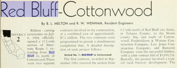
The opening of US 99/Interstate 5 between CA 36 in Red Bluff north via a bypass of Cottonwood is discussed in the January/February 1965 California Highways & Public Works. The new segment of US 99/Interstate 5 is cited to have opened on July 2nd, 1964.
The AASHO database shows that US 99 was approved to be truncated out of California by the AASHO Executive Committee on June 29th, 1965. This measure would have become effective on New Years Day 1966 and made the freeway bypass of Cottonwood solely part of Interstate 5.
Part 2; a drive on former US Route 99 on Main Street in Cottonwood
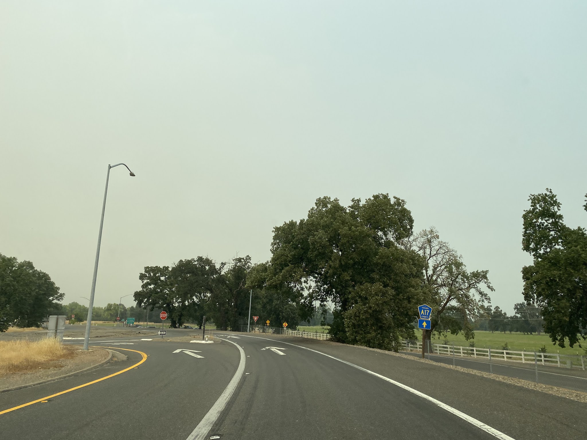
Modern Interstate 5 northbound Exit 662 accesses former US 99 on Main Street (now Tehama/Shasta County Route A17) in northern Tehama County.
Former US 99 on Main Street crosses the 1930 Cotton Creek Bridge and enters Shasta County. Upon crossing Cottonwood Creek former US 99 on Main Street crosses under the 1931 Southern Pacific Railroad (now Union Pacific Railroad) and enters downtown Cottonwood.
Former US 99/Main Street expands to a divided highway in downtown Cottonwood. Shasta County Route A17 splits from Main Street at 1st Street towards California State Route 44. Tehama/Shasta County Route A17 was added as a Sign County Route in 1963 according to cahighways.org. The designation appears to have been extended in 1964 upon US 99/Interstate 5 being moved to a bypass of Cottonwood.
Former US 99 on Main Street passes through downtown Cottonwood as a four lane expressway. North of downtown Cottonwood former US 99/Main Street loops back to Interstate 5 towards Anderson.


Further Reading
Continuing north on US Route 99 to Anderson and Redding?
Continuing south on US Route 99 to Red Bluff?








Comments