Back in 2015 I explored the ruins of McCoy Air Force Base which was located on the west runway of Orlando International Airport in the City of Orlando.

McCoy Air Force Base on the western runway of Orlando International Airport in an area known now as the Orlando Tradeport. McCoy AFB was originally constructed in 1940 as a civilian replacement airport for the Orlando Municipal Airport which was converted to Orlando Army Airfield. By 1942 the new airport was leased to the Army and was renamed Orlando Army Airfield #2. In 1943 the name would change to Pinecastle Army Airfield after a community just to the north on Conway Road.
Pinecastle Army Airfield would operate through the end of World War II and was handed back over to the City of Orlando in 1947 with a reversal clause. The reversal clause allowed the Army to reestablish Pinecastle Army Airfield in 1951. By 1952 the modern 12,000 foot runways still in use at Orlando International Airport were built. By 1958 the base was renamed to McCoy Air Force base, the name came from a pilot that crashed a B-47 north of the runways in 1957. By 1964 commercial airlines began to use the runways at McCoy Air Force Base in favor of the much smaller Hendron Airport which was once the Orlando Army Airfield. By 1968 all commercial air traffic had been moved to McCoy Air Force Base.
In 1973 McCoy Air Force Base was ordered to close and Air Force Operations ended in 1975 with the runways being turned over to the City of Orlando. McCoy Air Force Base became the McCoy Annex of Naval Training Center Orlando which shuttered in 1999. The Orlando Tradeport largely was built upon the unused McCoy Annex and Hurricanes in the 2000s gradually chipped away at the structures that remained. Interestingly Orlando International Airport still has a designation of "MCO" which is from the days when it was McCoy Air Force Base.
The most obvious ruin from McCoy Air Force Base is the abandoned CSX Taft-McCoy Spur line. The former military base has all sorts of railroad traffics laying around unused approaching the west runway from Taft.


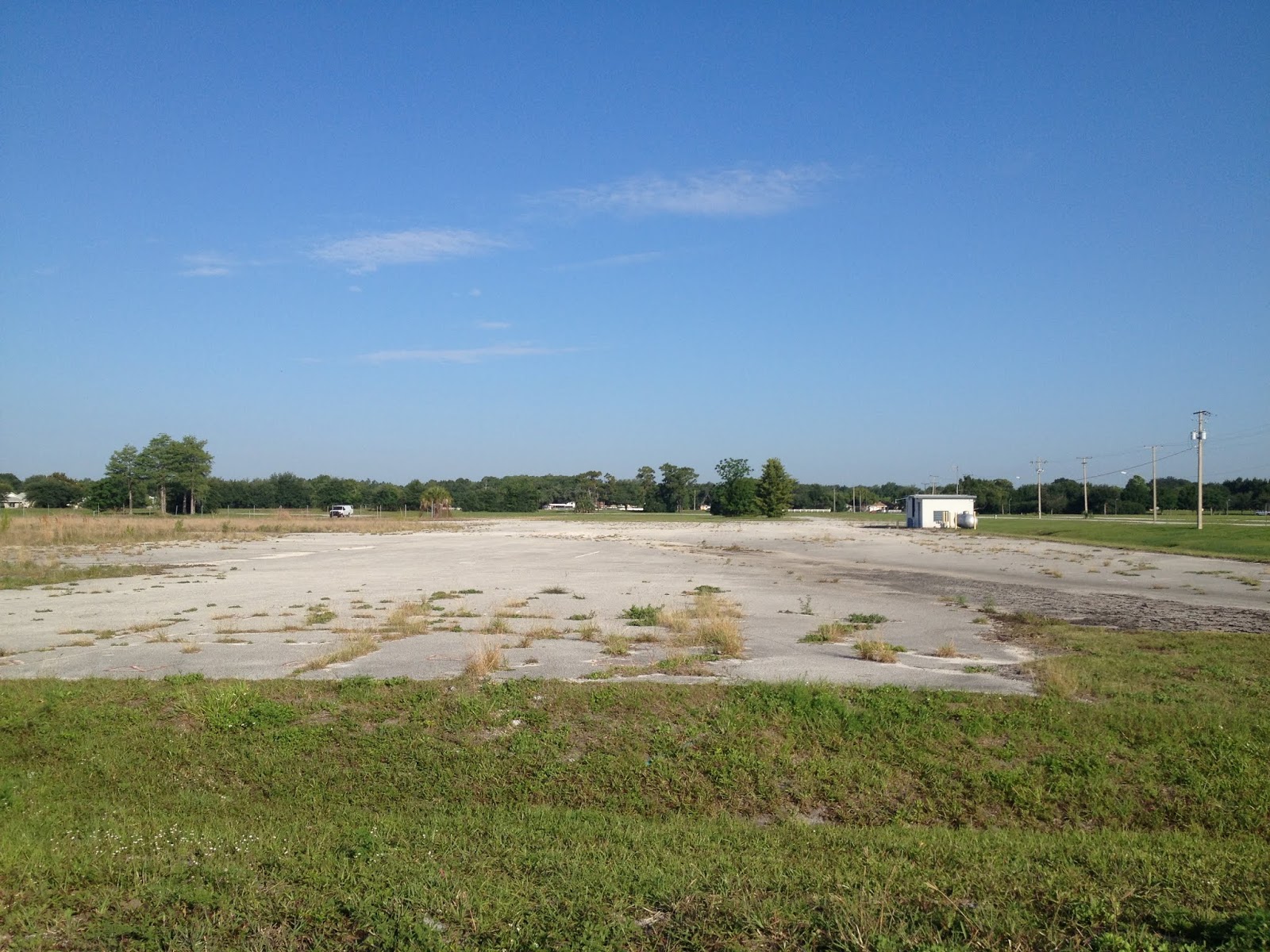
Not much is left from the previous military structures as most were damaged and razed following Hurricane Charley in 2004. There are various parking lots still accessible next to largely empty streets, some older Google Car images still pick up the buildings.


McCoy Air Force Base on the western runway of Orlando International Airport in an area known now as the Orlando Tradeport. McCoy AFB was originally constructed in 1940 as a civilian replacement airport for the Orlando Municipal Airport which was converted to Orlando Army Airfield. By 1942 the new airport was leased to the Army and was renamed Orlando Army Airfield #2. In 1943 the name would change to Pinecastle Army Airfield after a community just to the north on Conway Road.
Pinecastle Army Airfield would operate through the end of World War II and was handed back over to the City of Orlando in 1947 with a reversal clause. The reversal clause allowed the Army to reestablish Pinecastle Army Airfield in 1951. By 1952 the modern 12,000 foot runways still in use at Orlando International Airport were built. By 1958 the base was renamed to McCoy Air Force base, the name came from a pilot that crashed a B-47 north of the runways in 1957. By 1964 commercial airlines began to use the runways at McCoy Air Force Base in favor of the much smaller Hendron Airport which was once the Orlando Army Airfield. By 1968 all commercial air traffic had been moved to McCoy Air Force Base.
In 1973 McCoy Air Force Base was ordered to close and Air Force Operations ended in 1975 with the runways being turned over to the City of Orlando. McCoy Air Force Base became the McCoy Annex of Naval Training Center Orlando which shuttered in 1999. The Orlando Tradeport largely was built upon the unused McCoy Annex and Hurricanes in the 2000s gradually chipped away at the structures that remained. Interestingly Orlando International Airport still has a designation of "MCO" which is from the days when it was McCoy Air Force Base.
The most obvious ruin from McCoy Air Force Base is the abandoned CSX Taft-McCoy Spur line. The former military base has all sorts of railroad traffics laying around unused approaching the west runway from Taft.


Not much is left from the previous military structures as most were damaged and razed following Hurricane Charley in 2004. There are various parking lots still accessible next to largely empty streets, some older Google Car images still pick up the buildings.




Comments
.