
Yosemite Springs Parkway is an approximately five-mile roadway located in the Sierra Nevada foothills of Madera County and serves as the main throughfare of Yosemite Lakes Park. The corridor originates as the primary through road of Gold Rush era Long Hollow Ranch which connected the Fresno-Yosemite Road at Kelshaw Corners to River Road. Upon Long Hollow Ranch being sold for subdivided development in 1970 the roadway was rebuilt to modern standards and rebranded by the name it currently carries.

Part 1; the history of Yosemite Springs Parkway
The lands where Yosemite Springs Parkway now lie were once part of Long Hollow Ranch. Said ranch came under the ownership of the Rivas family after the forced relocation of the local Chukchansi Yokuts onto what is now Picayune Rancheria during the late nineteenth century.
Long Hollow Ranch was located near the community of Coarsegold largely in Township 8S, Range 20E. The ranch property can be seen southwest of Coarsegold between the Fresno-Yosemite Road (pre-1939 California State Route 41 and now Road 207) and River Road (now Road 400) on the 1891 Thompson Atlas of Fresno County. The Fresno River can be seen running west of the property whereas Coarsegold Creek can be seen running on the eastern boundary.

Madera County would be formed in 1893 from what was Fresno County north of the San Joaquin River. Long Hollow Ranch patriarch Jose Rivas would die in 1906 but the property would remain under the ownership his family. What is now Yosemite Springs Parkway can be seen crossing Long Hollow Ranch as minor roadway on the 1912 United States Geological Survey map of Mariposa. The exact date when the road was built is unclear, but it is shown to originate at the Fresno-Yosemite Road at Kelshaw Corners and connect to River Road. Revis Mountain is shown on the Long Hollow Ranch property and is a misspelling of the Rivas family name.

The Long Hollow Ranch Road can be seen connecting from California State Route 41 at Kelshaw Corners north to River Road on the 1935 Division of Highways map of Madera County. It is unclear if the road through Long Hollow Ranch was ever named by the county.

The Rivas family sold Long Hollow Ranch to James G. Jefferies during 1940. The property was later sold to Eban Coe and later was purchased by attorneys from Beverly Hills who would unsuccessfully attempt to develop the property. The attorneys were later bought out by Titan Group and Yosemite Lakes Incorporated. During June 30, 1970, Madera County would approve the subdivision of Yosemite Lakes Park. The Long Hollow Ranch Road would be repurposed as the main through route in the new community and rebranded as Yosemite Springs Parkway (source Yosemite Lakes Park history page). Much of the homes comprising Yosemite Lakes Park were built during the 1970s and 1980s.
Part 2; a drive on Yosemite Springs Parkway
Southbound Yosemite Springs Parkway begins at Road 400. Much of the road signs through what is now Yosemite Lakes Park are colored blue and contrast to the standard green stock seen elsewhere in Madera County.

Southbound Yosemite Springs Parkway intersects Revis Road shortly upon entering Yosemite Lakes Park.


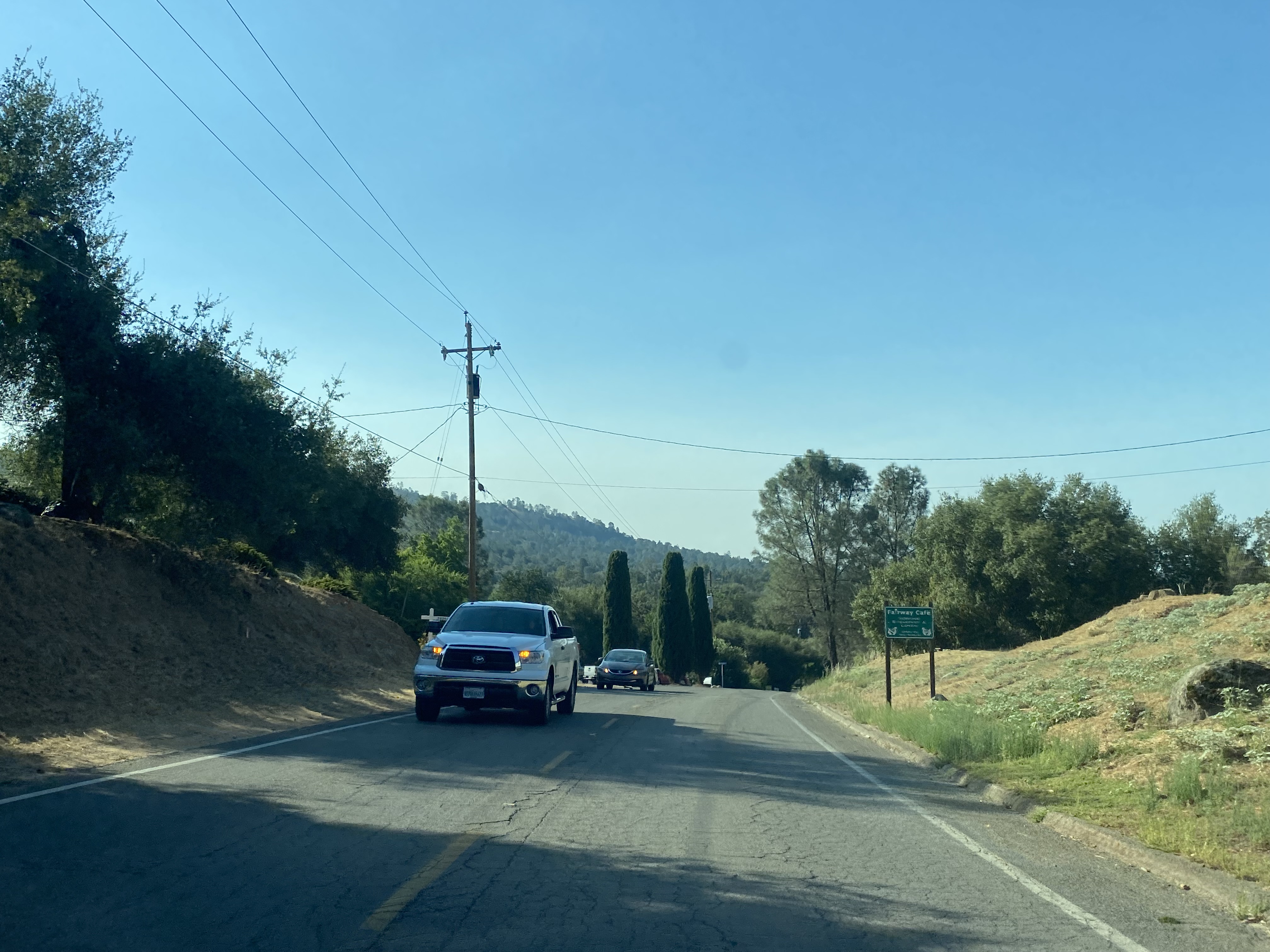
Southbound Yosemite Springs Parkway passes by the community golf course, Blue Heron Lake and a gas station plaza before intersecting the opposite terminus of Revis Road.


Southbound Yosemite Springs Parkway crosses Coarsegold Creek and terminates at California State Route 41.


Comments