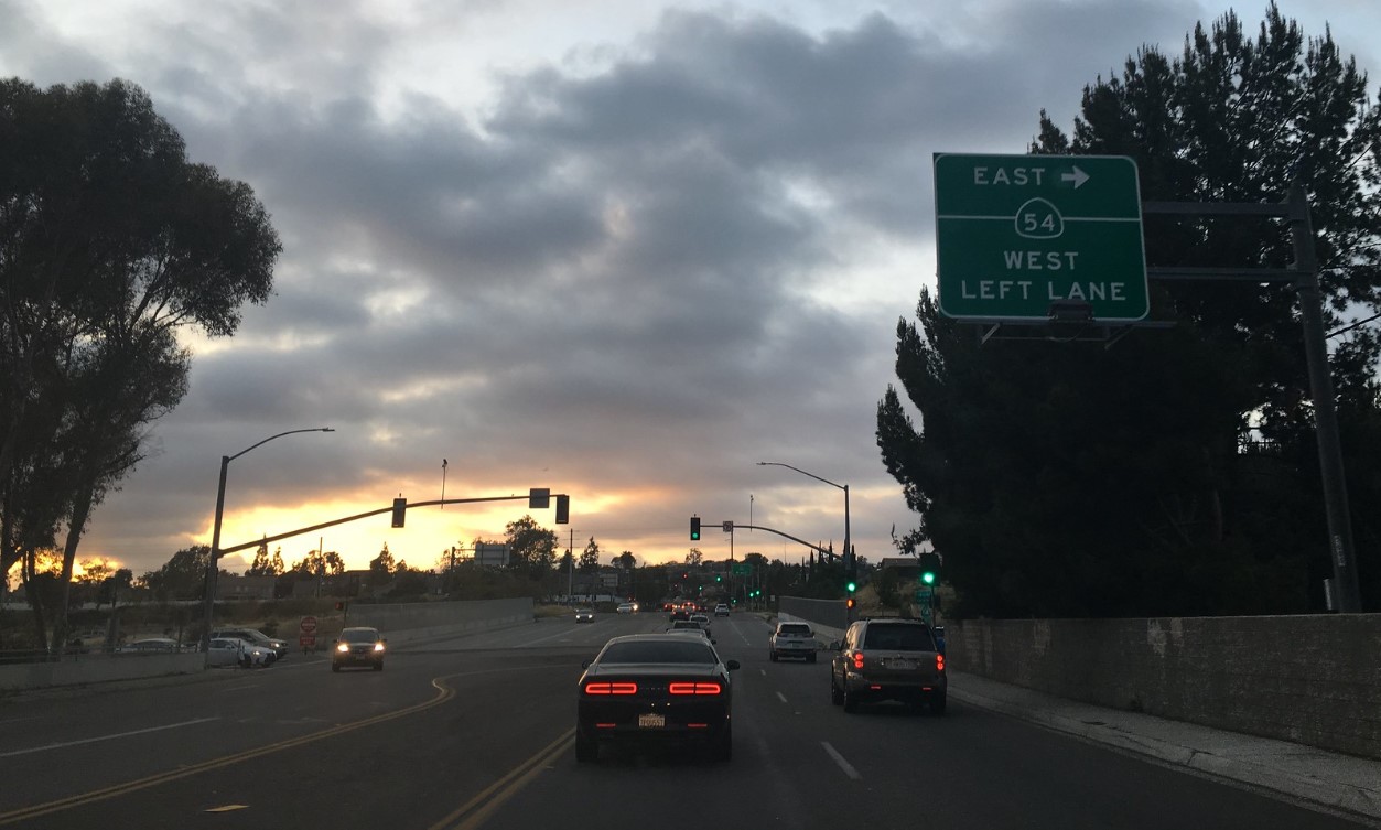
California State Route 54 is an 11-mile discontinuous State Highway located in the San Diego area. The western segment of California State Route 54 between Interstate 5 and California State Route 125 is aligned over the Filipino American Highway (formerly the South Bay Freeway). The eastern portion of California State Route 54 exists as a surface highway between California State Route 94 and the southern city limit of El Cajon. Prior to 1999 California State Route 54 passed through El Cajon via Jamacha Road and 2nd Street where it terminated at Interstate 8. Much of the unconstructed 5-mile segment of California State Route 54 between California State Route 125 and California State Route 94 follows the general corridor of San Diego County Route S17 on Jamacha Boulevard.


What would become California State Route 54 entered the State Highway System as Legislative Route Number 280 (LRN 280). LRN 280 was defined by 1959 Legislative Chapter 102 with the following definition:
“LRN 2 (US Route 101/Interstate 5) near Sweetwater River to [LRN 12 (US Route 80/Interstate 8) near El Cajon”. This is present-day Route 54 from I-5 near Sweetwater River to I-8 near El Cajon."
LRN 280 first appears on the 1960 Division of Highways Map with an undetermined routing.


The January/February 1962 California Highways & Public Works announced a 4.2-mile segment of LRN 280 had been adopted as a freeway during the late 1961 California Highway Commission meetings. The adopted freeway segment of LRN 280 is noted to begin 0.4 miles east of LRN 241 and extend west to Sweetwater Road.


The adopted planned freeway routing of LRN 280 between LRN 241 and LRN 282 appears on the 1962 Division of Highways Map.

The September/October 1963 California Highways & Public Works announced the adopted routing of LRN 280 had been extended east to US Route 80/Interstate 8/LRN 12 in El Cajon. Much of the eastern portion of the adopted routing of LRN 280 is noted to follow Jamacha Boulevard and Jamacha Road. The extension of adopted routing of LRN 280 was made by the California Highway Commission during their summer meeting.


During the 1964 State Highway Renumbering the Legislative Route Numbers were replaced by Sign Route definitions. The entirety of LRN 280 was reassigned as California State Route 54. California State Route 54 appears for the first time on the 1964 Division of Highways Map. During 1964 the existing highways in the general corridor of California State Route 54 were assigned as San Diego County Route S17.


The January/February 1964 California Highways & Public Works featured the opening of the initial 4.75 miles of the South Bay Freeway (California State Route 54) on September 27, 1963. The South Bay Freeway is noted to have begun as a proposal by San Diego County for a Federal-Aid Secondary program. The initial corridor of the South Bay Freeway was selected by San Diego County during 1956. San Diego County never pursued construction of the South Bay Freeway due to the increasing valuation of the land parcels in the selected corridor which led to it being added to the State Highway System as LRN 280 during 1959. Despite being called a freeway the initial segment of the South Bay Freeway opened at expressway standards and featured at-grade intersections. The initial segment of the South Bay Freeway extended east from the planned corridor of Interstate 805.


The May/June 1965 California Highways & Public Works announced the planned freeway routing of California State Route 54 between Interstate 5-Sweetwater Road had been selected by the California Highway Commission during their Spring Meetings.


During 1969 existing Jamacha Road and 2nd Street in El Cajon were added as active portions of California State Route 54 from California State Route 94 to Intestate 8. Notably the selected freeway corridor of California State Route 54 still appears alongside the active highway on the 1970 Division of Highways Map.

California State Route 54 between Intestate 5 and Interstate 805 was planned to be constructed in conjunction with the Sweetwater River Channel. Construction of California State Route 54 along the Sweetwater River Channel became mired in the process of environmental review through much of the late 1960s and 1970s. Construction of the California State Route 54 west of Interstate 805 would ultimately break ground during May 1984.
Construction of California State Route 54 west of Interstate 805 was halted due to a 1985 Sierra Club lawsuit which resulted in an injunction being issued by U.S. District Judge Gordon Thompson. Construction of California State Route 54 west of Interstate 805 resumed during November 1989 after the U.S Fish & Wildlife Service obtained 300 acres of land in Sweetwater Marsh to create a preserve. On December 11, 1990, the eastbound lanes of California State Route 54 between Interstate 5-Interstate 805 were announced as being open to traffic by the San Diego Union. The westbound lanes of California State Route 54 between Interstate 5-Interstate 805 were announced as being opened to traffic in the July 18, 1992 San Diego Union.
The existing South Bay Freeway segment of California State Route 54 east of Interstate 805 to Woodman Street was converted to full freeway standards between 1993-1998. 1999 Senate Bill 99, Chapter 557 permitted the relinquishment of California State Route 54 in the city of El Cajon. The present eastern terminus of California State Route 54 at the southern city limit of El Cajon was codified by Assembly Bill 1717, Chapter 525. California State Route 54 appears with the definition it currently carries on the 2005 Caltrans Map.
The entire constructed portion of the South Bay Freeway was renamed the "Filipino-American Highway" by 2006 Assembly Concurrent Resolution 157, Chapter 145. During October 2016 the California Transportation Commission approved the recession of the adopted freeway routing of California State Route 54 between California State Route 125 and California State Route 94. The adopted freeway routing of California State Route 54 between California State Route 94 and Interstate 8 was approved to be deleted by the California Transportation Commission during October 2017.
Part 2; a drive on California State Route 54
During October 2020, Dan Murphy of the Roadwaywiz YouTube channel featured an eastbound drive on California State Route 54 from Interstate 5 to California State Route 125.
California State Route 54 was featured on the 2021 Roadwaywiz San Diego webinar. Panelists Dan Murphy, Scott Onson and Tom Fearer discuss California State Route 54 from 38:00 to 39:55.
Comments