Great Basin National Park is located in White Pine County, Nevada and is one of the most obscure units maintained by National Park Service. The history of Great Basin National Park tied heavily to the Lehman Caves which were designated a National Monument during 1922. Early US Route 6 provided access to Lehman Caves National Monument when it replaced Nevada State Route 14 through the community of Baker during 1937. Lehman Caves National Monument would go on to be designated Great Basin National Park during 1986. Early US Route 6 in eastern Nevada can be seen co-signed with Nevada State Route 14 through Baker near Lehman Caves National Monument on the 1937 Official Road Map of the State of Nevada.

Part 1; the history of Great Basin National Park and early US Route 6 through Baker
Great Basin National Park lies within the boundaries of White Pine County in the Snake Range. Great Basin National Park largely overlaps the Snake Range which is the second highest chain of mountains in Nevada. Great Basin National Park is largely known for the 13,065-foot-high Wheeler Peak and the Lehman Caves. Great Basin National Park is one of the least visited National Parks in the United States and only attracted 144,875 visitors during 2021.
The Lehman Caves are thought to have been known to the native tribes of eastern Nevada before the arrival of European settlers. During the early 1880s local rancher Absalom Lehman rediscovered the caves which would bear his name. Absalom Lehman began offering tours of the Lehman Caves during 1885 which became a notable attraction in White Pine County. On January 24, 1922, President Warren G. Harding declared the Lehman Caves as part of Lehman Caves National Monument. Initially jurisdiction of Lehman Caves National Monument would remain under the National Forest Service.
The creation of Lehman Caves National Monument brought it a certain level of prominence as the Nevada State Highway System was beginning. The highway east of Ely through Baker which passed by Lehman Caves National Monument toward the Utah State Line appears as Nevada State Route 14 on the 1925 Rand McNally Junior Map of California & Nevada. The highway east of Ely through Baker never appears to have been part of a major Auto Trail. Notably the 1925 Rand McNally Junior Maps displayed the proposed US Routes which would become officially created by the American Association of State Highway Officials (AASHO) on November 26, 1926.

In the run up to the creation of the US Route System the location of US Route 50 east of Ely was unclear due to the haggard nature of the existing highway. The AASHO Executive Secretary noted in a July 8, 1926, letter to the Nevada Highway Engineer that the location of US Route 50 between the north/south highway near Ely and US Route 91 in Utah would be omitted for the time being.

The Nevada Highway Engineer in a letter to the AASHO Executive Secretary on February 23, 1927, noted US Route 50 would extend east of Ely through Baker to the Utah State Line.


Thusly, US Route 50 appears on the 1927 Official Road Map of the State of Nevada as extending east from Ely to the Utah State line past Baker and Lehman Caves National Monument. The map appears to display a planned highway bypassing Baker rather than anything actually constructed.

For reasons unknown US Route 50 does not appear east of Ely through the vicinity of Baker and Lehman Caves National Monument on the 1929 Official Road Map of the State of Nevada. Nevada State Route 14 can be seen once again extending east from Ely to the Utah State Line.

The 1932 Official Road Map of the State of Nevada displayed US Route 50 being rerouted north of Ely along the recently extended US Route 93 (extended from Wells to US Route 91 on June 22, 1931) and Nevada State Route 24 to the Utah State Line. This routing appears to have been an interim measure given the State of Nevada never requested to alter the official control points of US Route 50 away from Baker. Lehman Caves National Monument was transferred to the National Park Service on June 10, 1933.

The routing of Nevada State Route 14 through Baker to the Utah State Line is made clear on the 1933 Official Road Map of the State of Nevada. Nevada State Route 14 east of US Route 93 is shown to be unimproved.

A letter dated February 8th, 1937, by the AASHO Executive Secretary to the State Highway Engineers of; Colorado, Nevada and California announced the approved extension of US Route 6 from Greeley, Colorado to Long Beach, California by way of Nevada.


A February 17, 1937, route description sent by the Nevada State Highway Engineer to the AASHO Executive Secretary describes US Route 6 as originating in the State at the Utah State Line near Baker over Nevada State Route 14.

US Route 6 can be seen multiplexed from the Utah State Line along with Nevada State Route 14 through Baker westward to US Route 93 on the 1937 Official Map of the State of Nevada. US Route 6 is shown aligned to the existing grade of Utah State Route 27 at the State Line. The interim routing of US Route 6 created almost direct service to Lehman Caves National Monument.


The original alignment of US Route 6 through Baker to the State Line appears as Nevada State Route 73 on the 1942 Official Map of the State of Nevada. Lehman Caves Road to Lehman Caves National Monument appears designated as Nevada State Route 74.


US Route 50 is shown to be realigned east of Ely along US Route 6 to the Utah State Line on the 1954 Official Map of the State of Nevada. The realignment of US Route 50 finally fulfilled the official control point routings described by the State Highway Engineer during 1927.

During 1976 the Nevada State Highway Renumbering took place. What was Nevada State Route 73 through Baker was reassigned as Nevada State Route 487. What was Nevada State Route 74 along Lehman Caves Road was reassigned as Nevada State Route 488. Both Nevada State Route 487 and Nevada State Route 488 appear for the first time on the 1978-79 Official Map of the State of Nevada.

Lehman Caves National Monument was designated Great Basin National Park by Congress on October 27, 1986. Great Basin National Park appears on the 1987-88 Official Map of the State of Nevada.

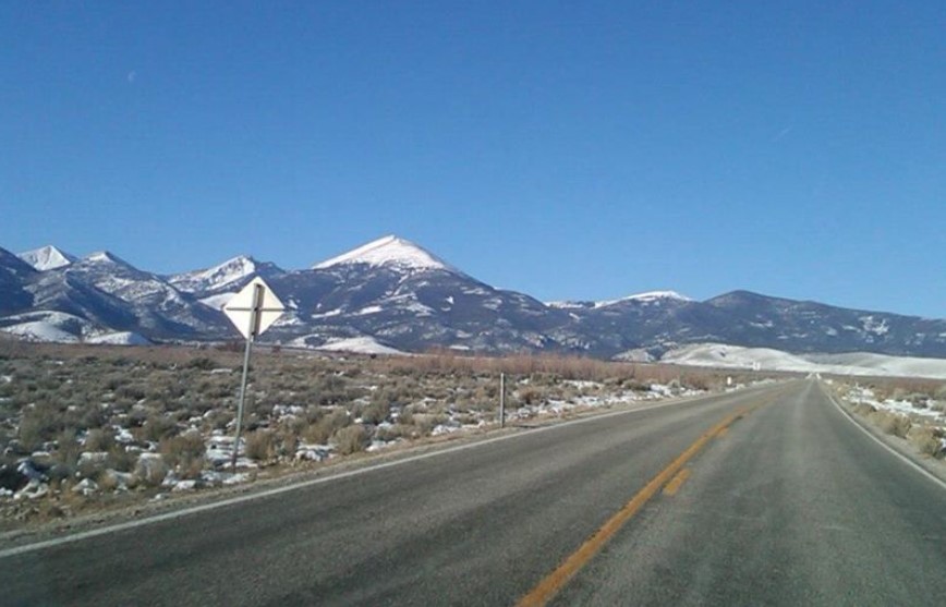
During January 2013 I decided to visit Great Basin National Park along with the five National Parks of Utah following a winter snowstorm. My trip to Great Basin National Park began in Cedar City, Utah on a morning with low temperature of -14F. My route from Cedar City to the Nevada State Line followed Utah State Route 130 and Utah State Route 21. Upon entering Nevada, the highway designation switches to Nevada State Route 487 (former US Route 6) approaching the Snake Range. Suffice to say the Snake Range and Wheeler Peak were covered in freshly fallen snow.
From Nevada State Route 487 the 13,065-foot-high Wheeler Peak can easily be seen. Wheeler Peak is the location of the only glacier in the State of Nevada. During summer months the base of Wheeler Peak can be easily accessed from the Lehman Caves via Wheeler Peak Scenic Drive.


From Baker Nevada State Route 487 intersects Nevada State Route 488 at Lehman Caves Road. Nevada State Route 488 ascends westward from Baker to the Great Basin National Visitor Center where tours of the Lehman Caves are offered.


Below is the view from the Great Basin National Park Visitors Center facing eastward towards Baker.


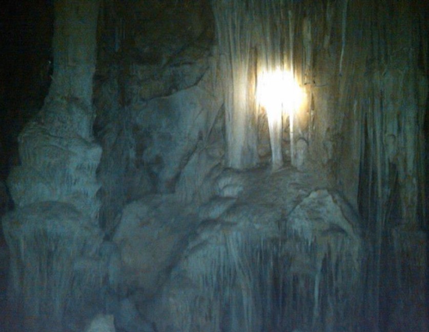
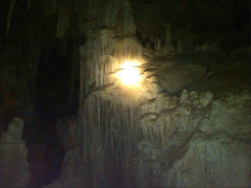
The Lehman Caves were carved as limestone eroded naturally over the eons. Numerous stalactites and other geological features of the Lehman Caves are featured on tour.




Comments