
Bagby was a small community located on the original alignment of California State Route 49 at the bottom of the Merced River Canyon of Mariposa County. The community of Bagby was located on the historic Merced River crossing of Ridley's Ferry and was for a time a siding of the Yosemite Valley Railroad. Bagby was bypassed by a new alignment of California State Route 49 during 1966 as the site was being prepared to be inundated due to the expansion of Lake McClure. Above as the blog cover is a view on California State Route 49 from the Bagby Hotel facing the Merced River Bridge. Below Bagby can be seen on the original alignment of California State Route 49 and the Yosemite Valley Railroad on the 1935 Division of Highways Map of Mariposa County.

Part 1; the history of California State Route 49 through Bagby
From 1850-1852 during the height of the California Gold Rush the site of Bagby at the Merced River Canyon was the location of Ridley's Ferry. By 1858 John Fremont constructed a fortification above the Merced River Canyon which overlooked Ridley's Ferry. During 1859 the site of Benton Mills was established at the Merced River near Ridley's Ferry. Ridley's Ferry can be as the crossing of the Merced River Canyon in the Sierra Nevada Mountains of Mariposa County on the 1857 Britton & Rey's Map of California.

Below Ridley's Ferry can be seen on the 1873 Bancroft's Map of California.

Below Benton Mills along with a small dam on the Merced River can be seen in an 1874 photo taken by Charles Watkins.

The site of Benton Mills can be seen along the Merced River on the 1882 Bancroft's Map of California.

During 1897 the site of Benton Mills was renamed Bagby when Post Office Service was established due to the community of Benton already existing east of the Sierra Nevada Mountains. The town site name "Bagby" referenced local store and hotel owned Bengamin A. Bagby. During 1902 the Yosemite Valley Railroad was incorporated as a plotted rail line between the city of Merced and El Portal near the Yosemite National Park boundary. The Yosemite Valley Railroad would reach Bagby during 1907 and would become a siding of the line.
The trail through Bagby and the Merced River Canyon was gradually expanded into a roadway. Below Bagby can be seen during 1910 when the Merced River was bridged by a Pratt Truss Bridge (courtesy Craig Philpott of Bridgehunter.com). It isn't clear when the below Pratt Truss bridge below was constructed.


Below the site of Bagby can be seen along the Merced River Canyon Road (alternatively known as the Bagby Grade) and Yosemite Valley Railroad on the 1917 California State Automobile Association Map.

The original Merced River Bridge in Bagby was burned by a fire during 1922 and was replaced by a Camelback Through Truss span. The 1922 Merced River Bridge can be seen facing north towards Bagby in an undated photo (courtesy bridgehunter.com).
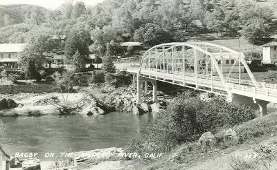
In 1933 Legislative Route Number 65 was extended from Moccasin south to Mariposa. The expansion of Legislative Route Number 65 incorporated the Merced River Canyon Road through Bagby as a State Highway. The entirety of Legislative Route Number 65 was assigned as part of California State Route 49 when the original run of Sign State Routes was published in the August 1934 California Highways and Public Works.


Bagby can be seen on California State Route 49 and the Yosemite Valley Railroad on the 1935 Division of Highways Map of Mariposa County.
California State Route 49 can be seen in Bagby in the undated photos below sourced from the Mariposa Pictures & History Page on Facebook. California State Route 49 shields can be seen in the second and third photos on both sides of the 1922 Merced River Bridge.


During 1945 the Yosemite Valley Railroad went defunct which left only California State Route 49 as the only mode of transportation through Bagby. California State Route 49 can be seen passing through Bagby on the 1949 United States Geological Survey map of the Hornitos area.

California State Route 49 through Bagby can be seen in the July/August 1959 California Highways & Public Works.


California State Route 49 traversing the Merced River Canyon south of Bagby in the July/August 1963 California Highways & Public Works.
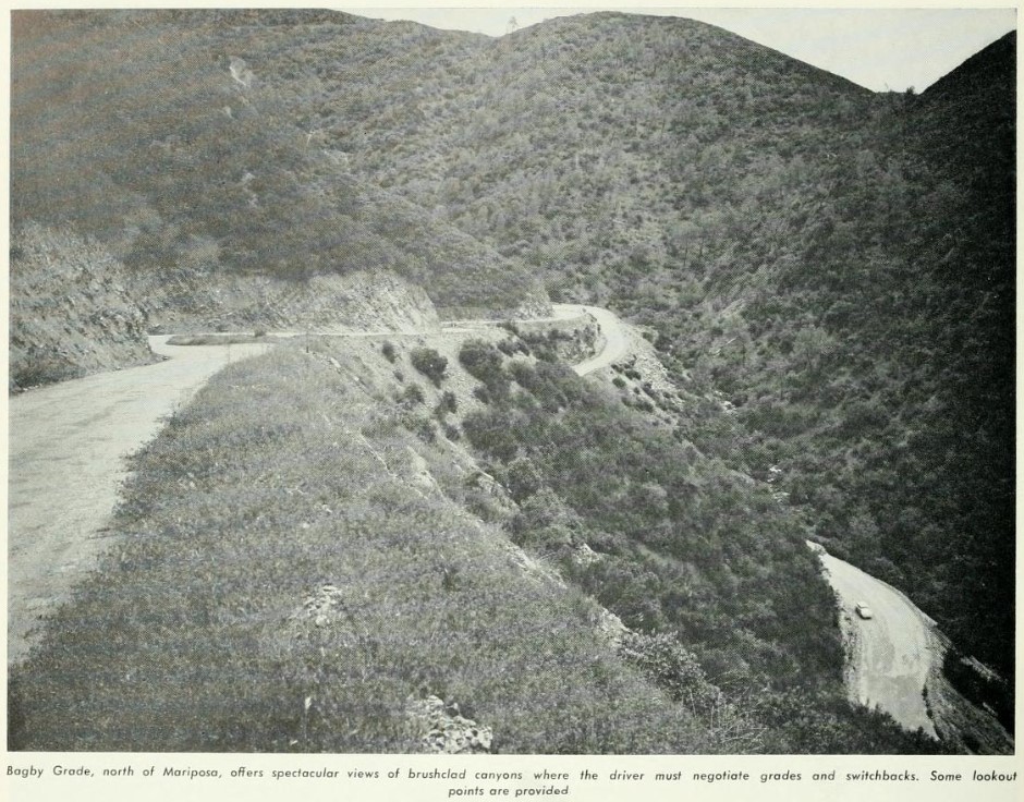
The January/February 1965 California Highways & Public Works announced a 0.7-mile relocation of California State Route 49 bypassing Bagby had been selected by the California Highway Commision. The relocation of California State Route 49 was deemed to be necessary due to the expansion of Exchequer Dam which would inundate the site of Bagby.

During 1966 the new Merced River Bridge opened as the bypass alignment of California State Route 49 around Bagby. Bagby would be razed to make way for an expanded Lake McClure during late year 1966. New Exchequer Dam would be completed during 1967 and would begin to flood the site of Bagby. The 1966 Merced River Bridge can be seen with the 1922 Bridge in the photo below (courtesy Bridgehunter.com). Given Bagby is shown to be standing the photo is from 1966 and not 1969.

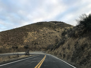
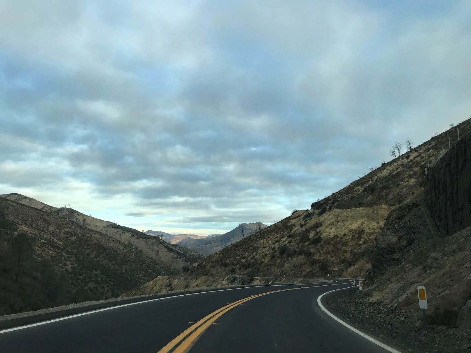
The site of Bagby can be seen from the Fremont's Fort vista along the south rim of the Merced River Canyon on California State Route 49.

California State Route 49 snakes through the Merced River Canyon to the Lake McClure Reservoir and the 1966 Merced River Bridge. The site of Bagby is accessible from Bagby Recreation Area.




A historic plaque describing the history of Bagby can be found on the south bank of the Merced River at the Bagby Recreation Area.




A historic plaque describing the history of Bagby can be found on the south bank of the Merced River at the Bagby Recreation Area.


The foundations of the 1922 Merced River Bridge and Bagby Hotel are obvious during dry years at the Bagby Recreation Area.


Below the underside of the 1966 Merced River Bridge can be seen from the site of the 1922 Bridge.

Comments