Pardee Dam is a 358-foot-high concrete structure located near Campo Seco at the Calaveras County and Amador County Line. Pardee Dam impounds the Mokelumne River which forms the namesake Pardee Reservoir. Pardee Dam was completed during 1929 and is part of the East Bay Municipal Utility District. Pardee Dam is accessed by the namesake Pardee Dam Road which crosses the structure via the one-lane road seen as the blog cover photo.
Part 1; the history of Pardee Dam Road
The closest community to Pardee Dam is that of Campo Seco on the Calaveras County side of the Mokelumne River. Campo Seco was founded in 1850 by Mexican Miners who worked placer claims in Oregon Gulch during the height of the California Gold Rush. Campo Seco would reach a population of about three hundred by 1860 spurred by the numerous mining claims in the area. Main Street of Campo Seco flowed directly into the Campo Seco Turnpike which had been authorized by the California Legislature as an early franchise toll road. Campo Seco Turnpike would serve as the primary highway to Mokelumne Hill. Much of the history of Campo Seco can be found on CalaverasHistory.org
here.
Campo Seco would go through periods of boom and decline through the remainder of the 19th Century. The mines around Campo Seco and the Mokelumne River would largely remain active through the duration of World War I via the fortunes of the Penn Mine. The Penn Mine would shutter in 1919 which led to a significant economic decline in Campo Seco. Campo Seco and the Campo Seco Turnpike can be seen in detail on the
1914 C.F. Weber Map of Calaveras County.

One of the last booms in Campo Seco came when the East Bay Municipal Utility District began construction of
Pardee Dam during July 1927. Pardee Dam as noted above is a 358-foot-high concrete structure which impounds the Mokelumne River to form the Pardee Reservoir. Pardee Dam was named in honor of George Pardee who was once governor of California, mayor of Oakland and president of the East Bay Municipal Utility District. Pardee Dam was completed by 1929 and to hydroelectric power operations on June 23. Pardee Dam included a new roadway which crossed the top of the dam structure. The completed Pardee Dam can be seen below in the Calaveras County Historical Society photo.

The construction of Pardee Dam seemingly may have brought state interests to the area around Campo Seco. A portion of the Campo Seco Parkway immediately east of Campo Seco to Mokelumne Hill was adopted as an extension of Legislative Route Number 5 during 1933. The extension of Legislative Route Number 5 to Mokelumne Hill was assigned as part of California State Route 8 during August 1934. Early California State Route 8 on Campo Seco Parkway can be seen on the
1935 Division of Highways Map of Calaveras County. Pardee Dam Road can be seen branching north from California State Route 8 near Valley Springs.
Part 2; a drive from Campo Seco to Pardee Dam via Pardee Dam Road
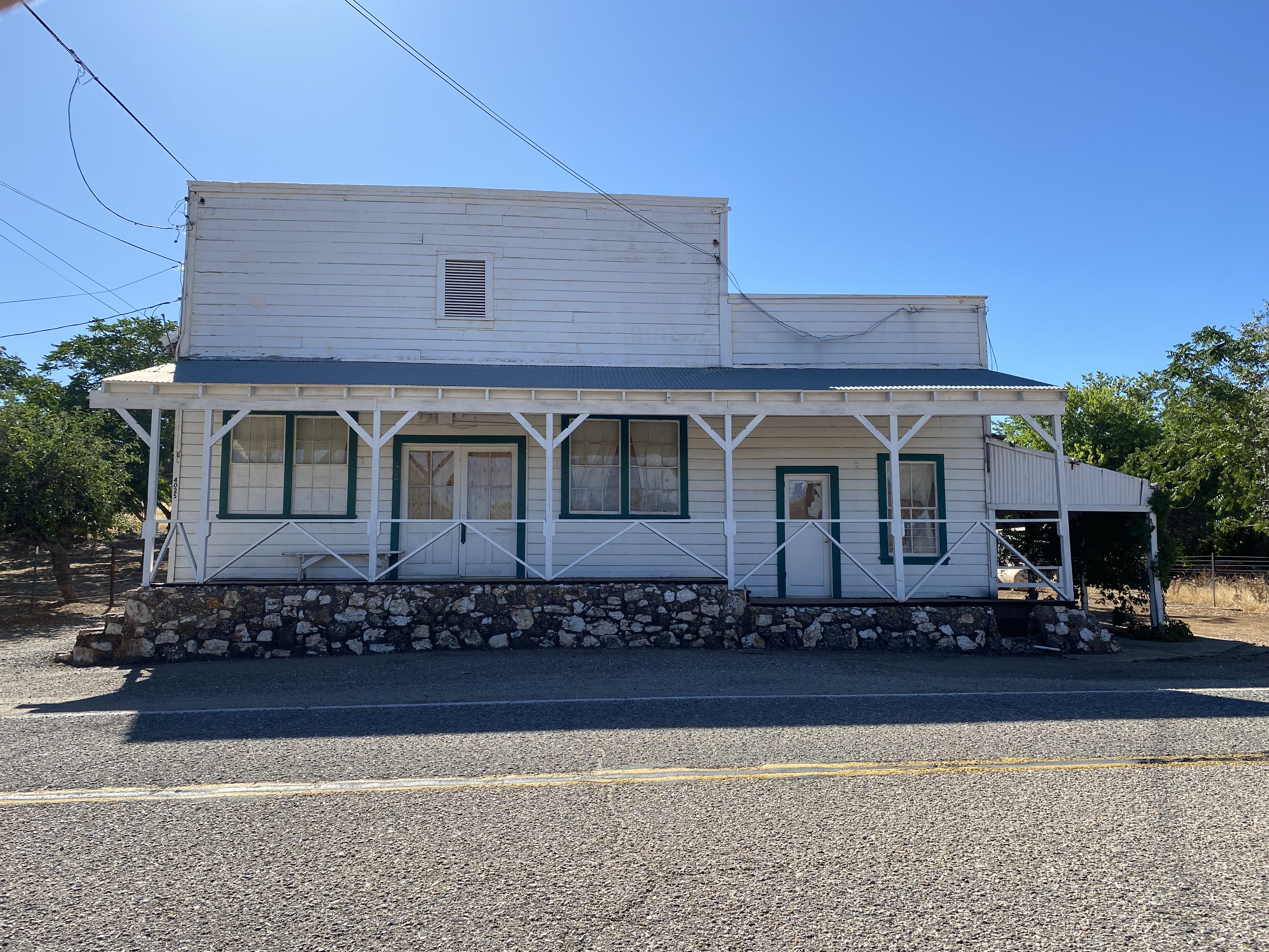
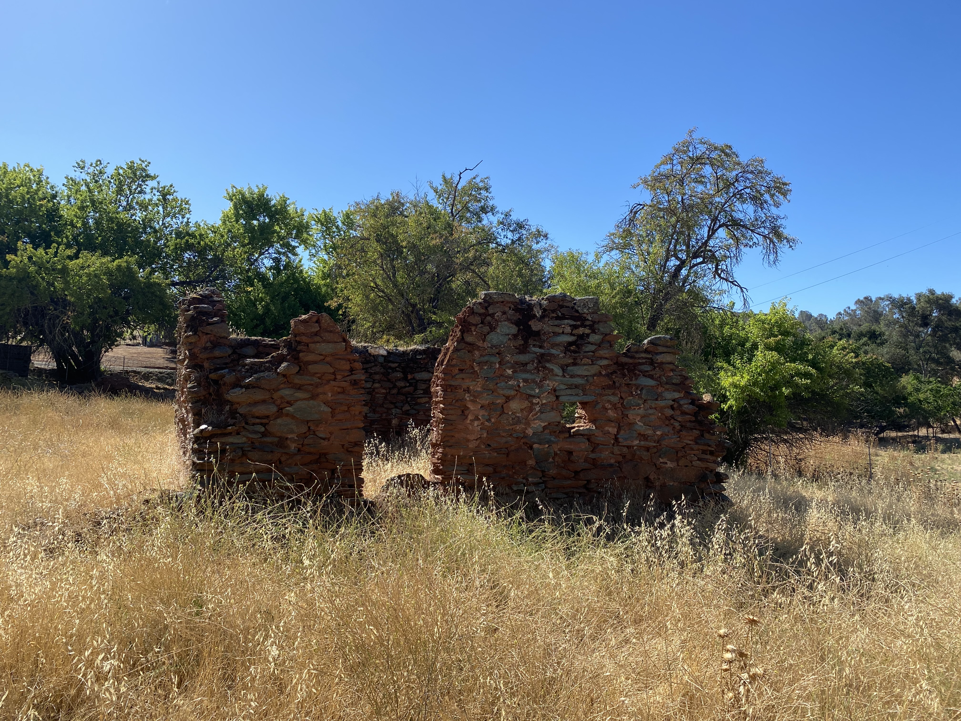
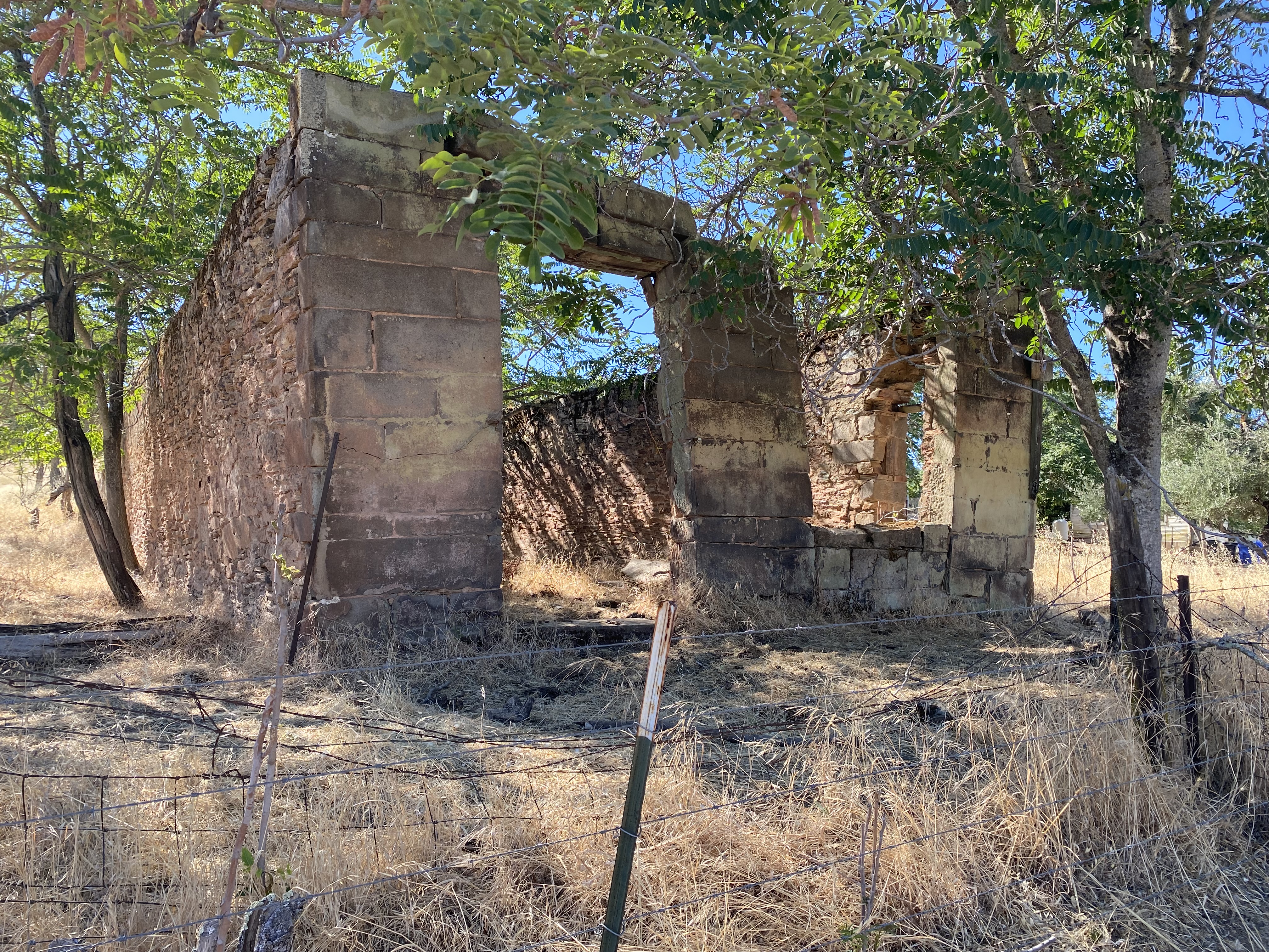
Following a final mining boom during World War II when the Penn Mine reopened in 1943. The Penn Mine would remain sporadically worked until 1959 which led to the final decline of Campo Seco. Despite a trace location population Campo Seco resembles a true ghost town as the ruins of numerous commercial buildings can be seen along Campo Seco Road.
A view from Campo Seco Road facing north on Penn Mine Road.
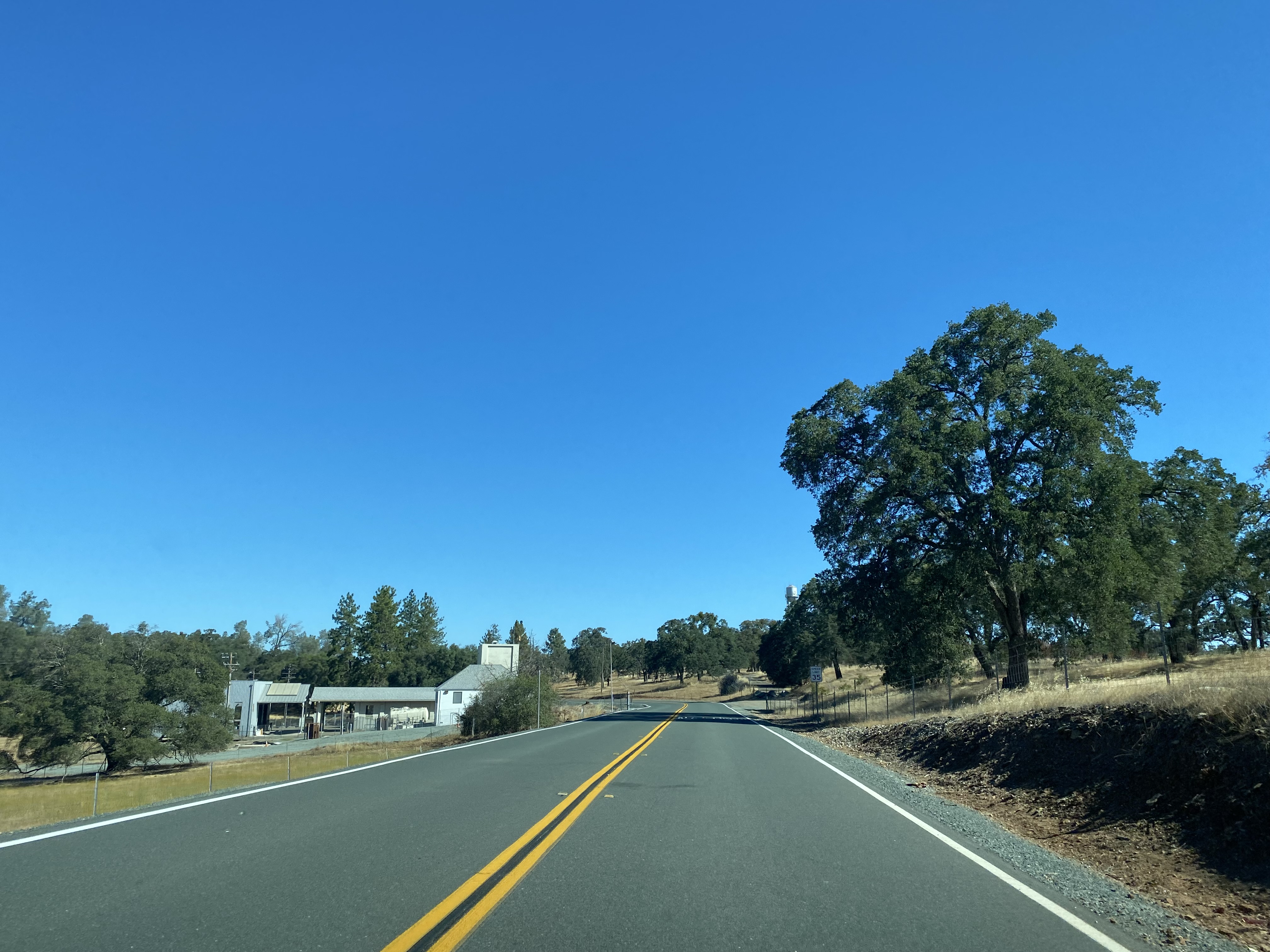
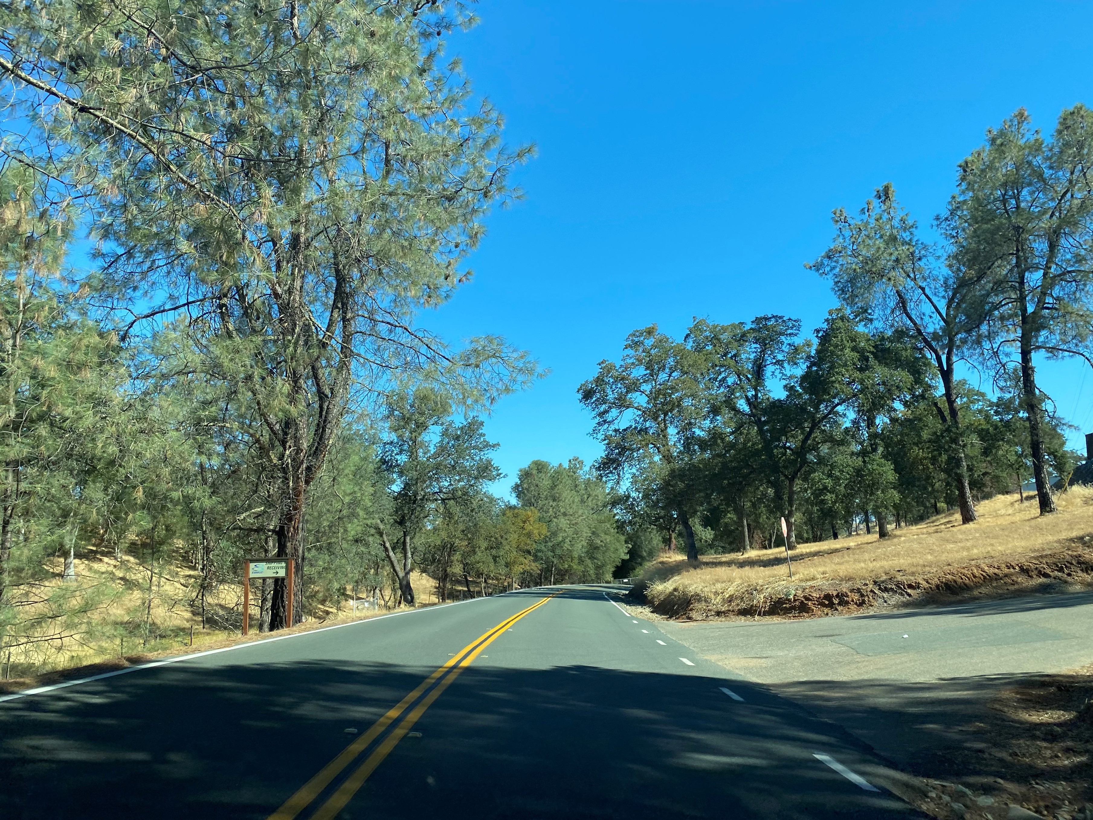
From the ruins of Campo Seco, the route to Pardee Dam Road is a short distance east via Campo Seco Road. Pardee Dam Road in Calaveras County is co-signed as Sandretto Road.
Pardee Dam Road continues northward and crosses the southern spillway of Pardee Dam as a single lane.
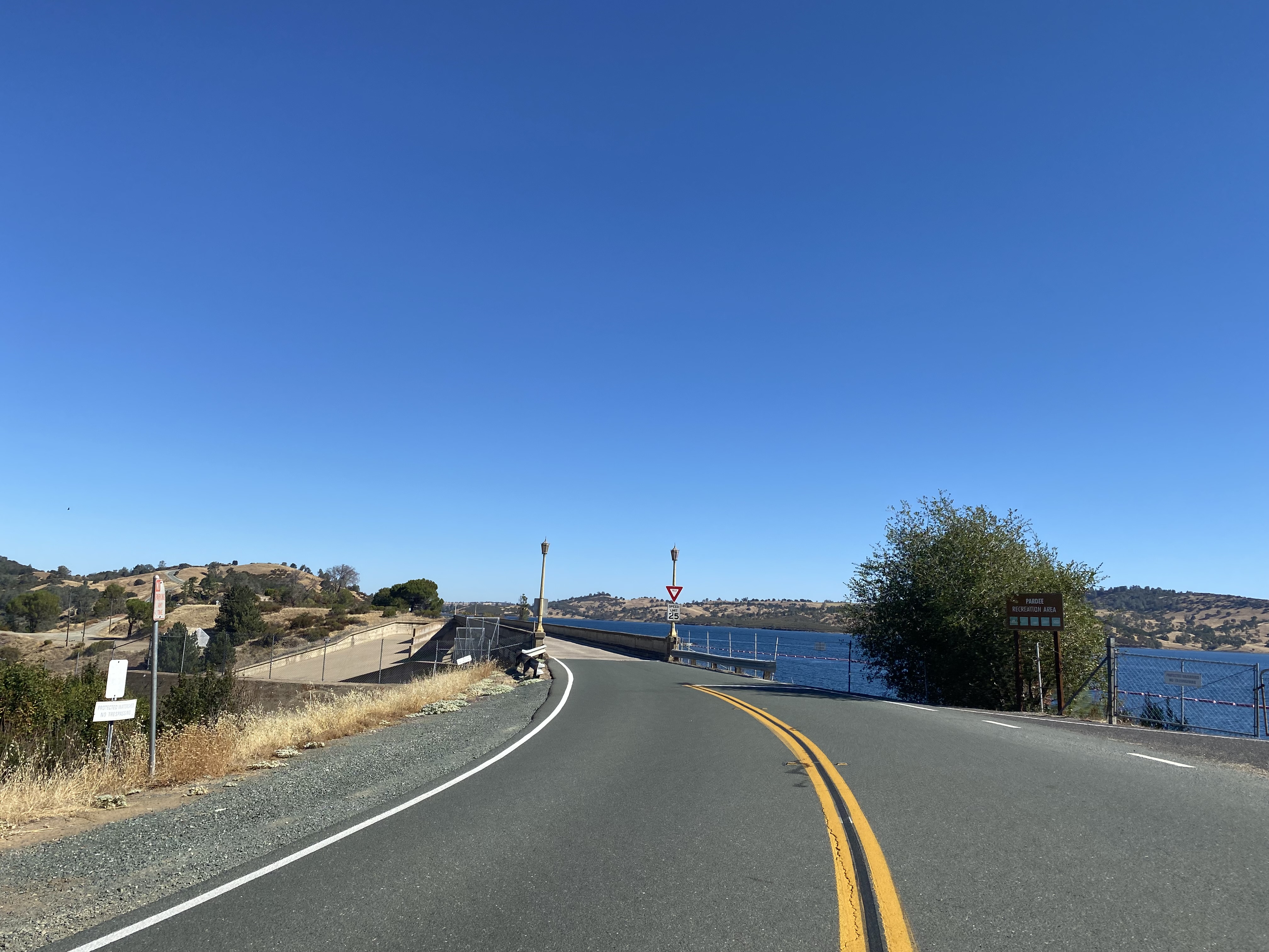
Pardee Dam Road briefly expands to two-lanes before becoming a single lane at Pardee Dam. Traffic over Pardee Dam is managed via traffic-light due to the obstructed sightline distance over the 1,337-foot length of the structure. Midway through Pardee Dam the route of Pardee Dam Road crosses into Amador County.
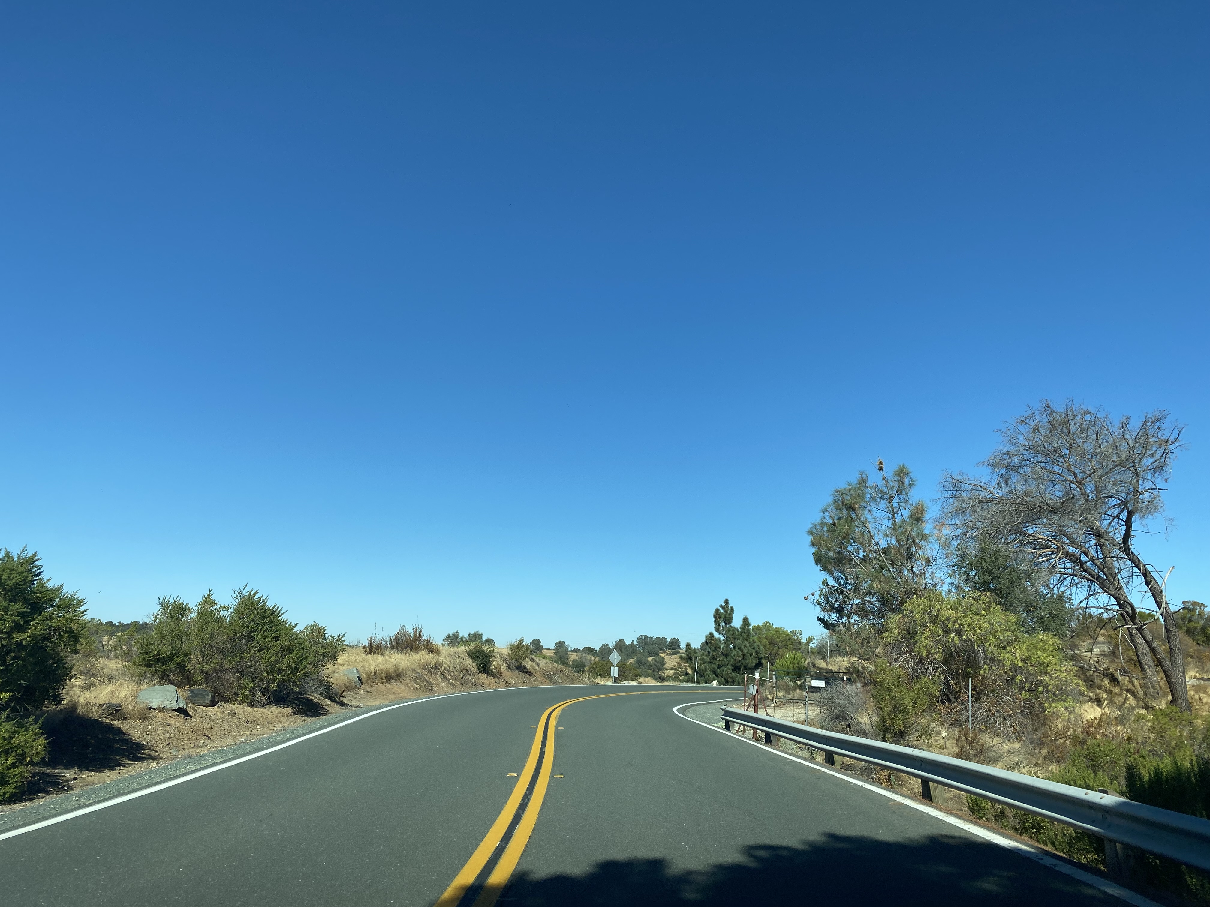
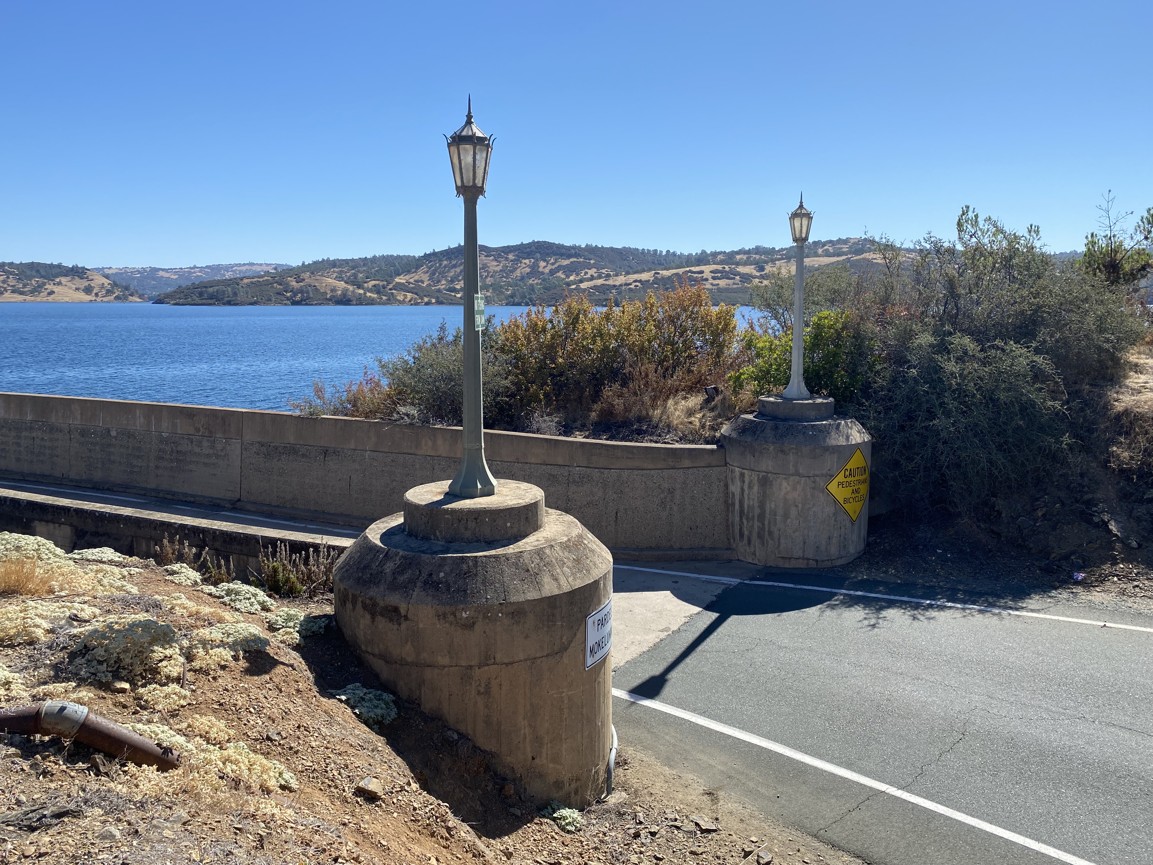
Pardee Dam Road continues northward and passes by a vista of the Pardee Dam Reservoir. Pardee Dam Reservoir has a 210,000-acre feet capacity. From the Pardee Dam Reservoir much of the Sierra Nevada Foothills of Calaveras and Amador Counties can be observed.
Pardee Dam Road continues north from the vista point and terminates at Stony Creek Road.















Comments