Following a day trip to the Bay Area I headed northward into Sacramento Valley to drive some more off the beaten path State Routes. One such route that caught my eye was California State Route 45.

CA 45 is a 70 mile north/south State Highway which begins at CA 113 in Knight's Landing of Yolo County. CA 45 follows the western bank of the Sacramento River through Colusa County to CA 32 in Hamilton of Glenn County. CA 45 being an extremely rural corridor is largely unchanged from when it was first signed in 1934.
The route of CA 45 was defined as Legislative Route Number 88 which was adopted in 1933 according to CAhighways.org.
CAhighways.org on LRN 88
LRN 88 was originally adopted in two segments:
- Knights Landing north to Sycamore just south of Colusa.
- Glenn north to Hamilton.
CA 45 was originally signed in the segments of LRN 88 described above. Despite the gap in CA 45/LRN 88 there is a strong likelihood that the California Division of Highways signed the route anyways between Colusa north to Glenn on County Maintained roadways. Prior to 1940 the practice of signing State Highways on non-State Maintained roadways was common. This along with the gap in CA 45 can be seen on the 1938 State Highway Map.
1938 State Highway Map
The gap in CA 45/LRN 88 was filled in between Colusa and Glenn by 1959. The complete route of CA 45/LRN 88 first appears on the 1960 State Highway Map.
1960 State Highway Map
By the 1964 State Highway renumbering LRN 88 simply became CA 45 which can be seen comparing the 1963/1964 State Highway Maps. The corridor of CA 45 really hasn't had much additional change since 1964.
1963 State Highway Map
1964 State Highway Map
My journey on CA 45 northbound started from CA 113 in Knight's Landing. As stated above the southern terminus of CA 45 is located in Yolo County.

CA 45 north exits Knight's Landing on 4th Street. CA 45 rises over a canal is signed with an advisory for trucks over 30 feet in length.


The southern segment of CA 45 north to the Colusa County Line is extremely curvy and features numerous 90 degree turns through the farm land. This segment of CA 45 strays from the western bank of the Sacramento River only by a couple miles at most.


At El Dorado Bend CA 45 north encounters Signed County Route E11 at Road 98A. CA 45 closely follows the Sacramento River and features numerous pumping plants of Reclamation District 108.


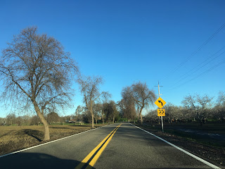


CA 45 north breaks away from the Sacramento River again through the farm lands. The views of the surrounding mountains are a nice feature on a clear day.


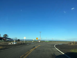
Near the Colusa County line the Sutter Buttes can be seen off in the distance on CA 45 north.

The Colusa County Line is signed with a heavily weathered sign on CA 45 north.

CA 45 north in Colusa County is known as the Purple Heart Trail.

The Sutter Buttes gets increasingly closer as CA 45 nears Grime. CA 45 approaches the Sacramento River bank and enters Grimes on 2nd Street.


CA 45 north makes a left turn on Main Street in downtown Grimes. Grimes apparently pre-dates American California being plotted out 1844.


CA 45 north exits Grimes on Main Street.


5 Miles north of Grimes CA 45 passes by the Grand Island Shrine. The Grand Island Shrine was the site of the first Catholic Mass in Colusa County in 1856. The Grand Island Shrine was built in 1883 and still stands.


CA 45 north of the Grand Island Shrine gradually approaches CA 20. There is a cut-off access to CA 20 via Sycamore Cut-off.


CA 45 north meets CA 20 just south of Colusa. CA 45 north begins a multiplex with CA 20 wet towards Colusa.


From the junction of CA 45 and CA 20 the full width of the Sutter Buttes can be seen over the banks of the Sacramento River. The Sutter Buttes are a small mountain range which rises abruptly through the center of Sacramento Valley. The Sutter Buttes are the remains of an extinct volcanic range which ascend to a peak elevation of 2,122 feet above sea level. Volcanic activity in the Sutter Buttes ended about 1,400,000 years ago and the range might have once been the southern extent of Cascade Volcanic Range. The Sutter Buttes were first observed by the Spanish in 1806 and they were called "the Three Buttes" by John Sutter in 1843.

Colusa is signed 4 miles away from the junction of CA 45 and CA 20. CA 45 north and CA 20 west multiplex into Colusa onto Bridge Street.


CA 45 north/CA 20 west make a turn off Bridge Street into downtown Colusa on Market Street.


CA 45 north/CA 20 west are well signed entering downtown Colusa on Market Street.


The Colusa County Court House is located on CA 45 north/CA 20 west on Market Street. Colusa is the County Seat of it's namesake County. The Colusa County Courthouse was completed in 1861 and is the second oldest active Courthouse in California after the Mariposa County Courthouse. Colusa County was one of the original 1850 California Counties.


Colusa Sacramento River State Park is accessible form CA 45 north/CA 20 west on Market Street in Colusa.

CA 45 north/CA 20 west split at 10th Street. CA 45 north exits Colusa on Market Street.


Princeton is signed 9 miles away from Colusa on CA 45 north.

CA 45 north enters Princeton on Princeton Road. Access to I-5 is signed via Norman Road.


CA 45 north of Princeton ascends to a levee above the Sacramento River to the Glenn County Line.


CA 45 continues north to Biggs-Willows Road where it meets CA 162. Hamilton City is signed as 20 miles to the north on CA 45 from the junction with CA 162.
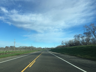


CA 45 north/CA 162 west multiplex to Glenn where both routes split away. CA 162 west heads towards the Glenn County seat of Willows whereas CA 45 continues north towards Hamilton. Post Office Service in Glenn dates back to the early 1900s. There isn't much in the community now aside from what appears to be an older service station.


Hamilton is signed as 16 miles to the north on CA 45 from Glenn.

CA 45 ascends another series of levees northward towards Ord Bend.


CA 45 north continues almost directly from Ord Bend to Hamilton City. CA 45 north enters Hamilton City on Canal Street.


CA 45 north ends in Hamilton City at CA 32 on 6th Street.


CA 45 is a 70 mile north/south State Highway which begins at CA 113 in Knight's Landing of Yolo County. CA 45 follows the western bank of the Sacramento River through Colusa County to CA 32 in Hamilton of Glenn County. CA 45 being an extremely rural corridor is largely unchanged from when it was first signed in 1934.
The route of CA 45 was defined as Legislative Route Number 88 which was adopted in 1933 according to CAhighways.org.
CAhighways.org on LRN 88
LRN 88 was originally adopted in two segments:
- Knights Landing north to Sycamore just south of Colusa.
- Glenn north to Hamilton.
CA 45 was originally signed in the segments of LRN 88 described above. Despite the gap in CA 45/LRN 88 there is a strong likelihood that the California Division of Highways signed the route anyways between Colusa north to Glenn on County Maintained roadways. Prior to 1940 the practice of signing State Highways on non-State Maintained roadways was common. This along with the gap in CA 45 can be seen on the 1938 State Highway Map.
1938 State Highway Map
The gap in CA 45/LRN 88 was filled in between Colusa and Glenn by 1959. The complete route of CA 45/LRN 88 first appears on the 1960 State Highway Map.
1960 State Highway Map
By the 1964 State Highway renumbering LRN 88 simply became CA 45 which can be seen comparing the 1963/1964 State Highway Maps. The corridor of CA 45 really hasn't had much additional change since 1964.
1963 State Highway Map
1964 State Highway Map
My journey on CA 45 northbound started from CA 113 in Knight's Landing. As stated above the southern terminus of CA 45 is located in Yolo County.

CA 45 north exits Knight's Landing on 4th Street. CA 45 rises over a canal is signed with an advisory for trucks over 30 feet in length.


The southern segment of CA 45 north to the Colusa County Line is extremely curvy and features numerous 90 degree turns through the farm land. This segment of CA 45 strays from the western bank of the Sacramento River only by a couple miles at most.


At El Dorado Bend CA 45 north encounters Signed County Route E11 at Road 98A. CA 45 closely follows the Sacramento River and features numerous pumping plants of Reclamation District 108.


CA 45 north breaks away from the Sacramento River again through the farm lands. The views of the surrounding mountains are a nice feature on a clear day.


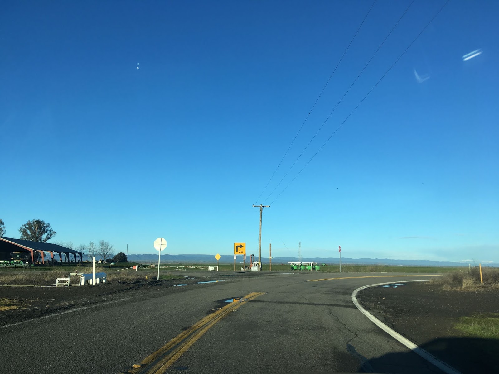
Near the Colusa County line the Sutter Buttes can be seen off in the distance on CA 45 north.

The Colusa County Line is signed with a heavily weathered sign on CA 45 north.

CA 45 north in Colusa County is known as the Purple Heart Trail.

The Sutter Buttes gets increasingly closer as CA 45 nears Grime. CA 45 approaches the Sacramento River bank and enters Grimes on 2nd Street.


CA 45 north makes a left turn on Main Street in downtown Grimes. Grimes apparently pre-dates American California being plotted out 1844.


CA 45 north exits Grimes on Main Street.


5 Miles north of Grimes CA 45 passes by the Grand Island Shrine. The Grand Island Shrine was the site of the first Catholic Mass in Colusa County in 1856. The Grand Island Shrine was built in 1883 and still stands.


CA 45 north of the Grand Island Shrine gradually approaches CA 20. There is a cut-off access to CA 20 via Sycamore Cut-off.


CA 45 north meets CA 20 just south of Colusa. CA 45 north begins a multiplex with CA 20 wet towards Colusa.

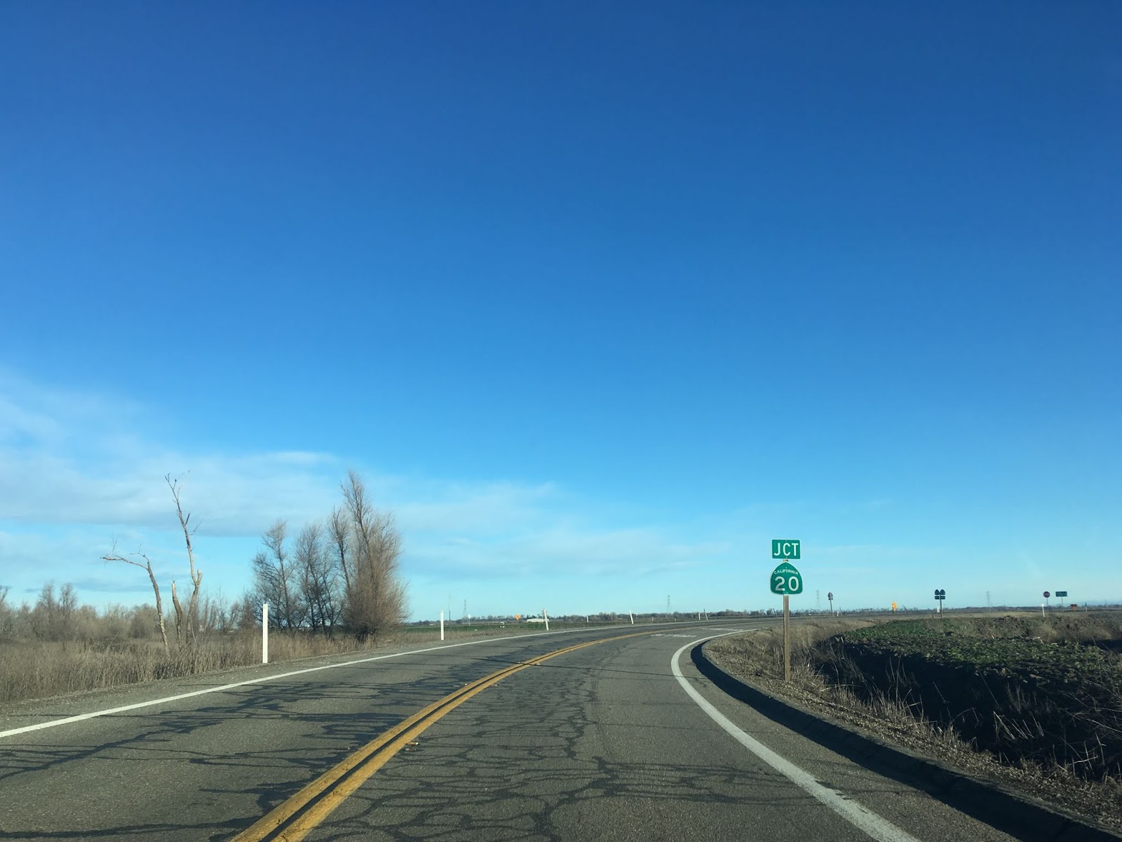


From the junction of CA 45 and CA 20 the full width of the Sutter Buttes can be seen over the banks of the Sacramento River. The Sutter Buttes are a small mountain range which rises abruptly through the center of Sacramento Valley. The Sutter Buttes are the remains of an extinct volcanic range which ascend to a peak elevation of 2,122 feet above sea level. Volcanic activity in the Sutter Buttes ended about 1,400,000 years ago and the range might have once been the southern extent of Cascade Volcanic Range. The Sutter Buttes were first observed by the Spanish in 1806 and they were called "the Three Buttes" by John Sutter in 1843.

Colusa is signed 4 miles away from the junction of CA 45 and CA 20. CA 45 north and CA 20 west multiplex into Colusa onto Bridge Street.


CA 45 north/CA 20 west make a turn off Bridge Street into downtown Colusa on Market Street.


CA 45 north/CA 20 west are well signed entering downtown Colusa on Market Street.


The Colusa County Court House is located on CA 45 north/CA 20 west on Market Street. Colusa is the County Seat of it's namesake County. The Colusa County Courthouse was completed in 1861 and is the second oldest active Courthouse in California after the Mariposa County Courthouse. Colusa County was one of the original 1850 California Counties.


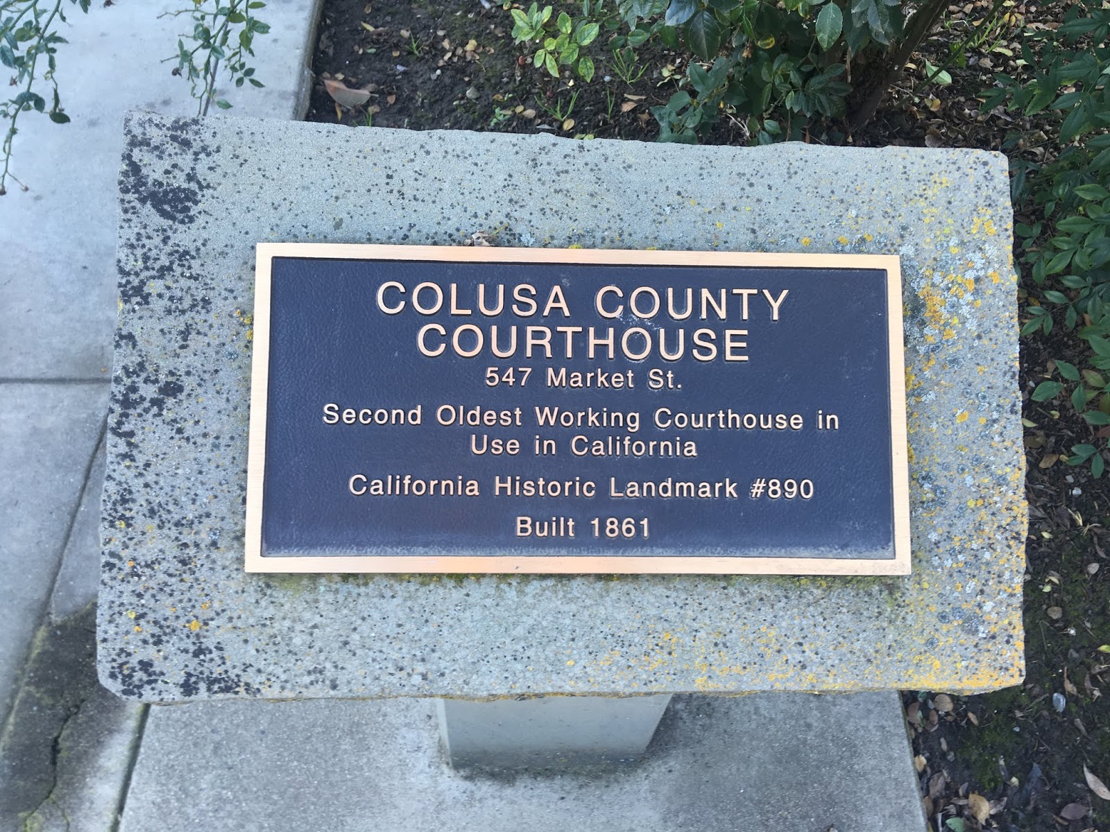


Colusa Sacramento River State Park is accessible form CA 45 north/CA 20 west on Market Street in Colusa.

CA 45 north/CA 20 west split at 10th Street. CA 45 north exits Colusa on Market Street.


Princeton is signed 9 miles away from Colusa on CA 45 north.

CA 45 north enters Princeton on Princeton Road. Access to I-5 is signed via Norman Road.


CA 45 north of Princeton ascends to a levee above the Sacramento River to the Glenn County Line.


CA 45 continues north to Biggs-Willows Road where it meets CA 162. Hamilton City is signed as 20 miles to the north on CA 45 from the junction with CA 162.
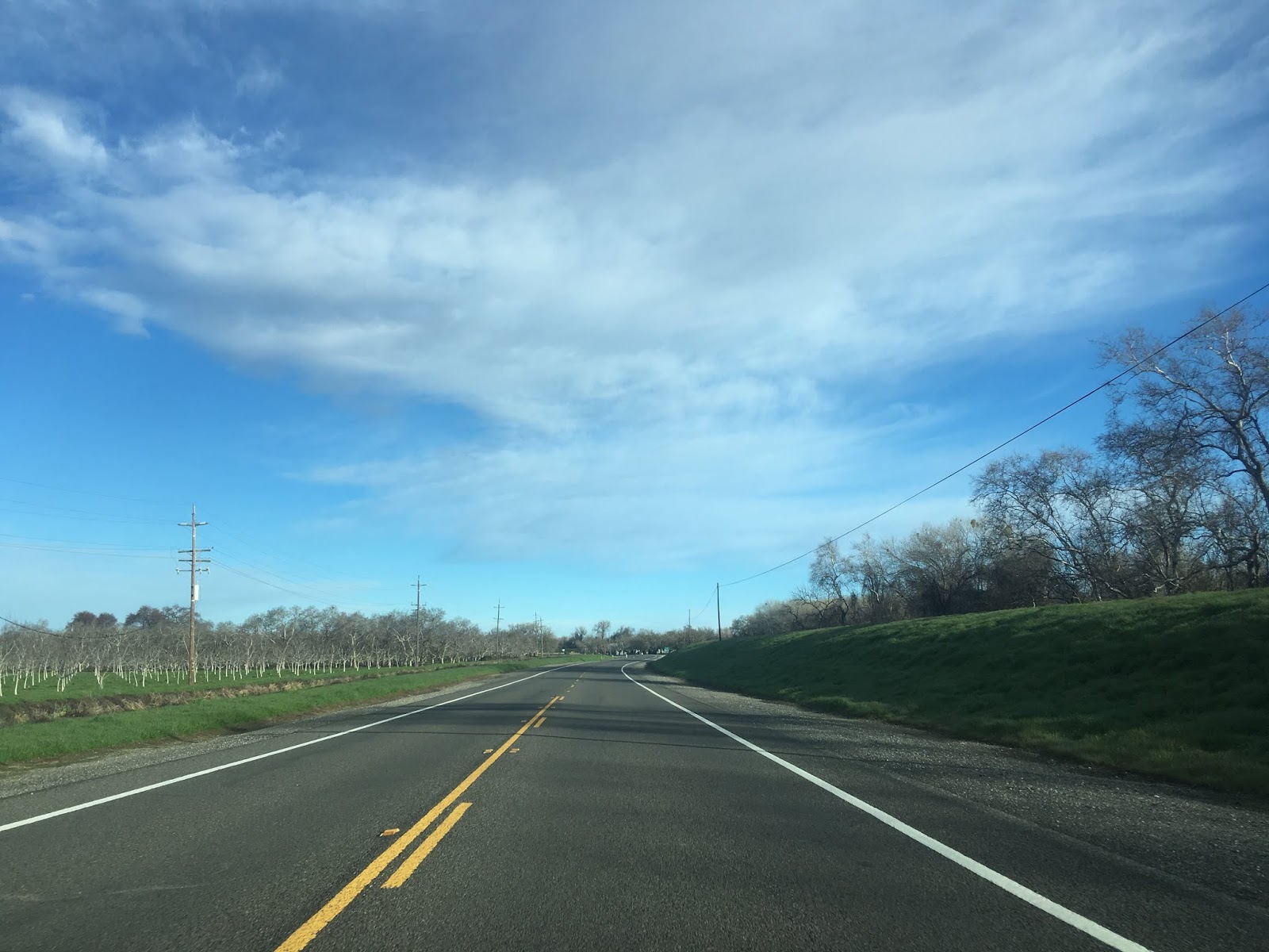


CA 45 north/CA 162 west multiplex to Glenn where both routes split away. CA 162 west heads towards the Glenn County seat of Willows whereas CA 45 continues north towards Hamilton. Post Office Service in Glenn dates back to the early 1900s. There isn't much in the community now aside from what appears to be an older service station.


Hamilton is signed as 16 miles to the north on CA 45 from Glenn.

CA 45 ascends another series of levees northward towards Ord Bend.
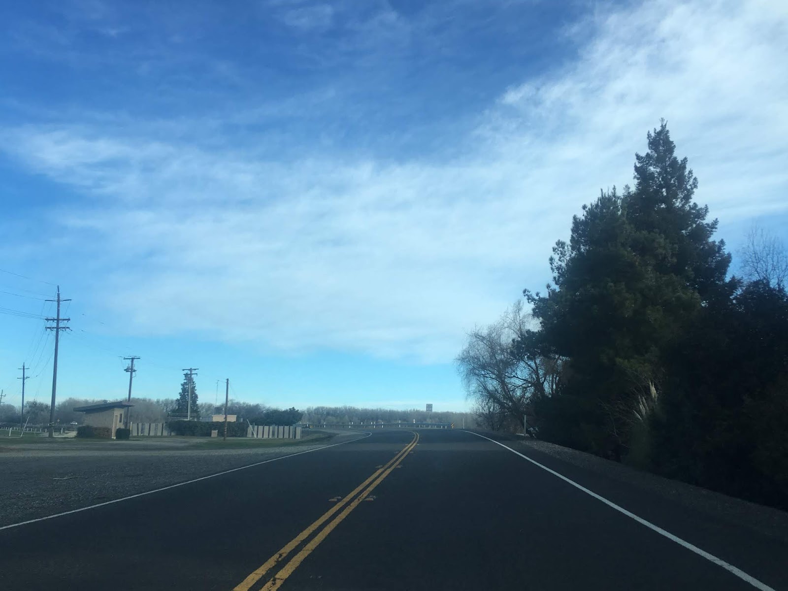


CA 45 north continues almost directly from Ord Bend to Hamilton City. CA 45 north enters Hamilton City on Canal Street.


CA 45 north ends in Hamilton City at CA 32 on 6th Street.


Comments