Alongside US 17 in Southwest Jacksonville is the ruins of a ghost town called Yukon.

Yukon was a small town of about 300 that was located in Duval County before the consolidation with the City of Jacksonville. Yukon was founded some time in the mid-19th century and was pretty much just another nameless Florida community. Yukon had rail service and the northern extent of town was selected for Army post Camp Johnston in 1917 during World War I.
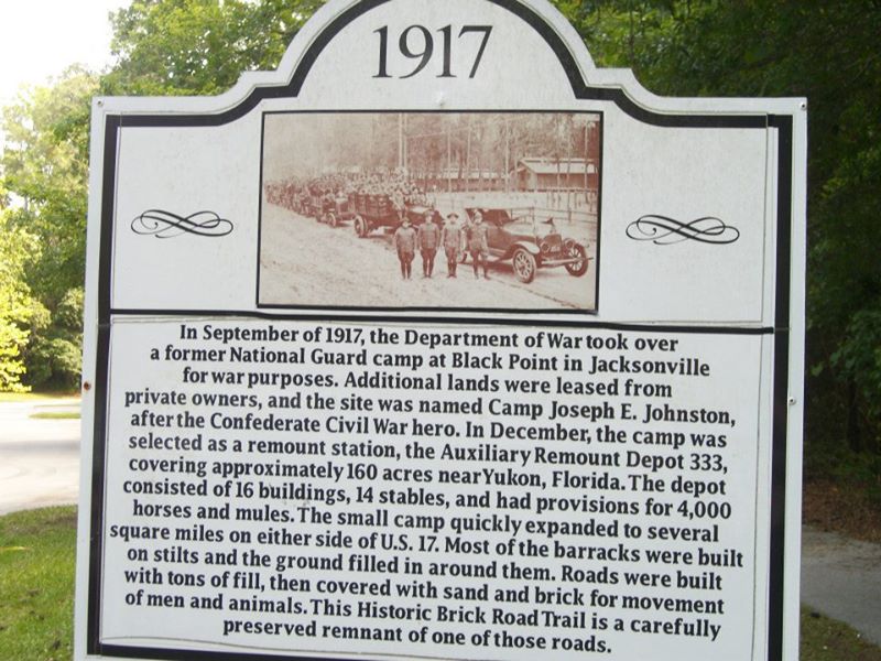
The streets of Camp Johnston were laid with brick despite it only being open until 1919. The Florida National Guard began to use Camp Johnston in 1928. The Navy became interested in a base near the St. Johns River and created Naval Air Station Jacksonville in 1940. The vast majority of the military installation was moved to the east side of US 17 where it remains to this day.
Yukon in a way was fortunate that it was close to NAS JAX but it ultimately proved to be the down fall of the town. In 1963 the town of Yukon was declared a hazard to the flight path of NAS JAX and eminent domain was declared. All the residential structures in Yukon were removed and the former streets were allow to overgrow. The commercial district was allowed to remain which is the only evidence of the town of Yukon if you are not willing to look back in the growth west of US 17.
Entering the ruins of Yukon on Norman Street the site of the former rail depot can be seen alongside the tracks.

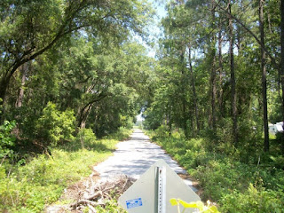
Yukon is filled with obvious road grades that are starting to fill in with plant growth after half a century of neglect.


Much of the old businesses from Yukon still remain on Yukon Road.


More abandoned roads which were once lined with homes.


Stray pieces of utilities like yellow fire hydrants are still present.

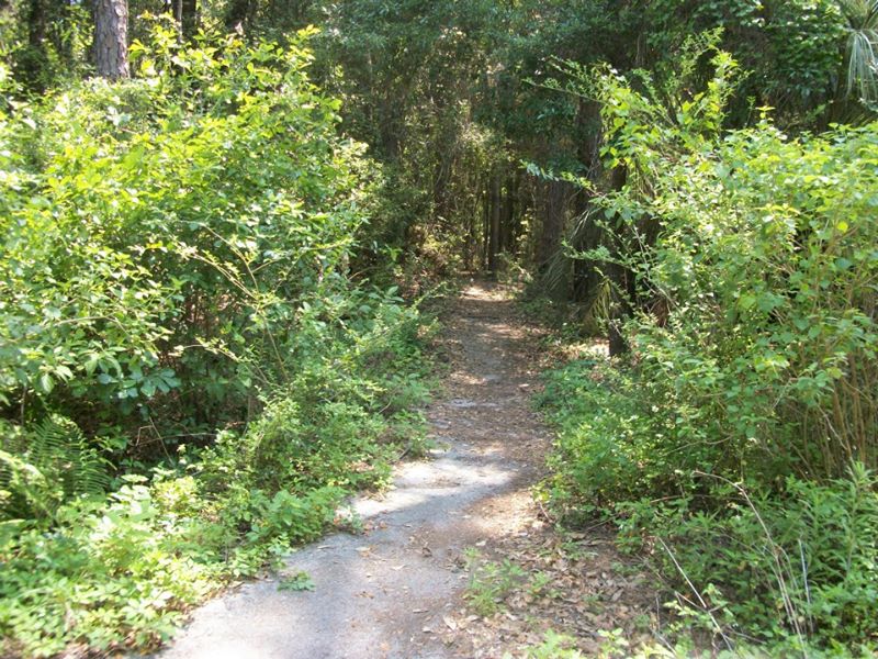
The abandoned brick roads of Camp Johnston remain back in the woods but are gradually subsiding into the terrain.


I visited Yukon back in 2013, at the time it was part of some sort of regional park. I'm unsure if Yukon Road was once part of US 17 but it should have been routed south to Punta Gorda and been in close proximity to Yukon by 1932. Unfortunately, the only 1932 Duval County Map I could find doesn't provide insight.
1932 Duval County Map
The 1956 State Highway Map shows US 17 running through Yukon.
1956 Florida State Highway Map

Yukon was a small town of about 300 that was located in Duval County before the consolidation with the City of Jacksonville. Yukon was founded some time in the mid-19th century and was pretty much just another nameless Florida community. Yukon had rail service and the northern extent of town was selected for Army post Camp Johnston in 1917 during World War I.
The streets of Camp Johnston were laid with brick despite it only being open until 1919. The Florida National Guard began to use Camp Johnston in 1928. The Navy became interested in a base near the St. Johns River and created Naval Air Station Jacksonville in 1940. The vast majority of the military installation was moved to the east side of US 17 where it remains to this day.
Yukon in a way was fortunate that it was close to NAS JAX but it ultimately proved to be the down fall of the town. In 1963 the town of Yukon was declared a hazard to the flight path of NAS JAX and eminent domain was declared. All the residential structures in Yukon were removed and the former streets were allow to overgrow. The commercial district was allowed to remain which is the only evidence of the town of Yukon if you are not willing to look back in the growth west of US 17.
Entering the ruins of Yukon on Norman Street the site of the former rail depot can be seen alongside the tracks.

Yukon is filled with obvious road grades that are starting to fill in with plant growth after half a century of neglect.


Much of the old businesses from Yukon still remain on Yukon Road.


More abandoned roads which were once lined with homes.


Stray pieces of utilities like yellow fire hydrants are still present.

The abandoned brick roads of Camp Johnston remain back in the woods but are gradually subsiding into the terrain.


I visited Yukon back in 2013, at the time it was part of some sort of regional park. I'm unsure if Yukon Road was once part of US 17 but it should have been routed south to Punta Gorda and been in close proximity to Yukon by 1932. Unfortunately, the only 1932 Duval County Map I could find doesn't provide insight.
1932 Duval County Map
The 1956 State Highway Map shows US 17 running through Yukon.
1956 Florida State Highway Map
Comments