Signed County Route G17 is a 45 mile County Route from California State Route 1 south to Signed County Route G16 in Monerey County. For the most part G17 follows the western bank of the Salinas River in the for the duration of its routing. The Signed County Route program was created in 1958 to sign major county highways with actual signage. The vast majority of Signed County Routes in California were created before 1970 and largely the system has add very few additions since. The letter designations indicate what part of California the particular highway is in; in the case of "G Routes" they are located in the Central Coast Communities Group. Signage and maintenance standards along Signed County Routes in California vary wildly by county. CAhighways.org has an excellent page on the history of Signed County Routes along with a directory.
CAhighways on Signed County Routes
In the case of Monterey County it generally signs County Routes fairly consistently but road maintenance generally is below par. However compared to San Benito County with its rough J1 alignment or almost non-existent County Route signage, Monterey County Routes are in far better shape than one might expect. In the case of G17, it wasn't one of the original Signed County Routes but was added in 1965.

Heading southbound on G17 the route starts at CA 1 in Marina on Reservation Road which straddles the founds of the former Fort Ord. There is no County Route signage in Marina for G17 but it is fairly easy to follow given the alignment is solely Reservation Road in the city.


Exiting Marina G17 crosses paths with Inter-Garrison Road which I believe was once a primary gate at Fort Ord.

Southeast past Inter-Garrison Road G17 drops off a small bluff and begins to follow the Salinas River. Davis Road is where the first G17 shield is encountered southbound but I didn't capture it. Davis Road was also signed as a detour route for California State Route 68.


G17 stays on Reservation Road south to CA 68 where it becomes River Road. As I discussed in the CA 68 blog Hilltown Road is where the previous state highway crossing of the Salinas River was located.


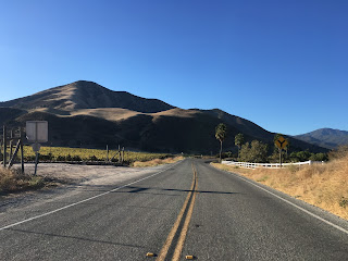
South of CA 68, G17 on River Road gradually drops to a rural two-lane highway and begins to follow the Santa Lucia Range. The pavement quality also drops from this point and there no reassurance shield to keep you River Road at Chualar River Road junction.


River Road ends at a 90 degree at Mission Road which is utilized by G17. G17 takes another quick 90 degree turn on Fort Romie Road and crosses the path of the Soledad Mission. The Soledad Mission was founded in 1791 but was flooded frequently in the 1800s by the Salinas River. The Mission was restored in the 1950s after it had fallen into ruin.


South of the Soledad Mission Fort Romie Road ends and G17 takes a turn on Arroyo Seco Road. Arroyo Seco Road bends away from the Salinas River and follows the Arroyo Seco River inward towards the Santa Lucia Range.


CAhighways on Signed County Routes
In the case of Monterey County it generally signs County Routes fairly consistently but road maintenance generally is below par. However compared to San Benito County with its rough J1 alignment or almost non-existent County Route signage, Monterey County Routes are in far better shape than one might expect. In the case of G17, it wasn't one of the original Signed County Routes but was added in 1965.

Heading southbound on G17 the route starts at CA 1 in Marina on Reservation Road which straddles the founds of the former Fort Ord. There is no County Route signage in Marina for G17 but it is fairly easy to follow given the alignment is solely Reservation Road in the city.


Exiting Marina G17 crosses paths with Inter-Garrison Road which I believe was once a primary gate at Fort Ord.

Southeast past Inter-Garrison Road G17 drops off a small bluff and begins to follow the Salinas River. Davis Road is where the first G17 shield is encountered southbound but I didn't capture it. Davis Road was also signed as a detour route for California State Route 68.


G17 stays on Reservation Road south to CA 68 where it becomes River Road. As I discussed in the CA 68 blog Hilltown Road is where the previous state highway crossing of the Salinas River was located.


South of CA 68, G17 on River Road gradually drops to a rural two-lane highway and begins to follow the Santa Lucia Range. The pavement quality also drops from this point and there no reassurance shield to keep you River Road at Chualar River Road junction.


River Road ends at a 90 degree at Mission Road which is utilized by G17. G17 takes another quick 90 degree turn on Fort Romie Road and crosses the path of the Soledad Mission. The Soledad Mission was founded in 1791 but was flooded frequently in the 1800s by the Salinas River. The Mission was restored in the 1950s after it had fallen into ruin.

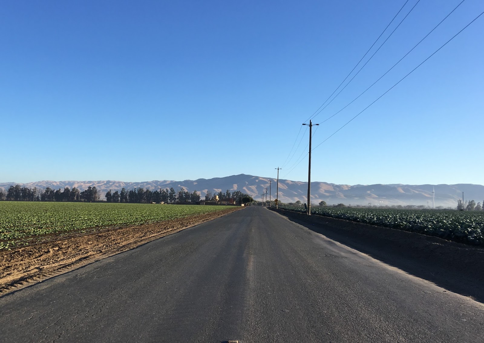


South of the Soledad Mission Fort Romie Road ends and G17 takes a turn on Arroyo Seco Road. Arroyo Seco Road bends away from the Salinas River and follows the Arroyo Seco River inward towards the Santa Lucia Range.


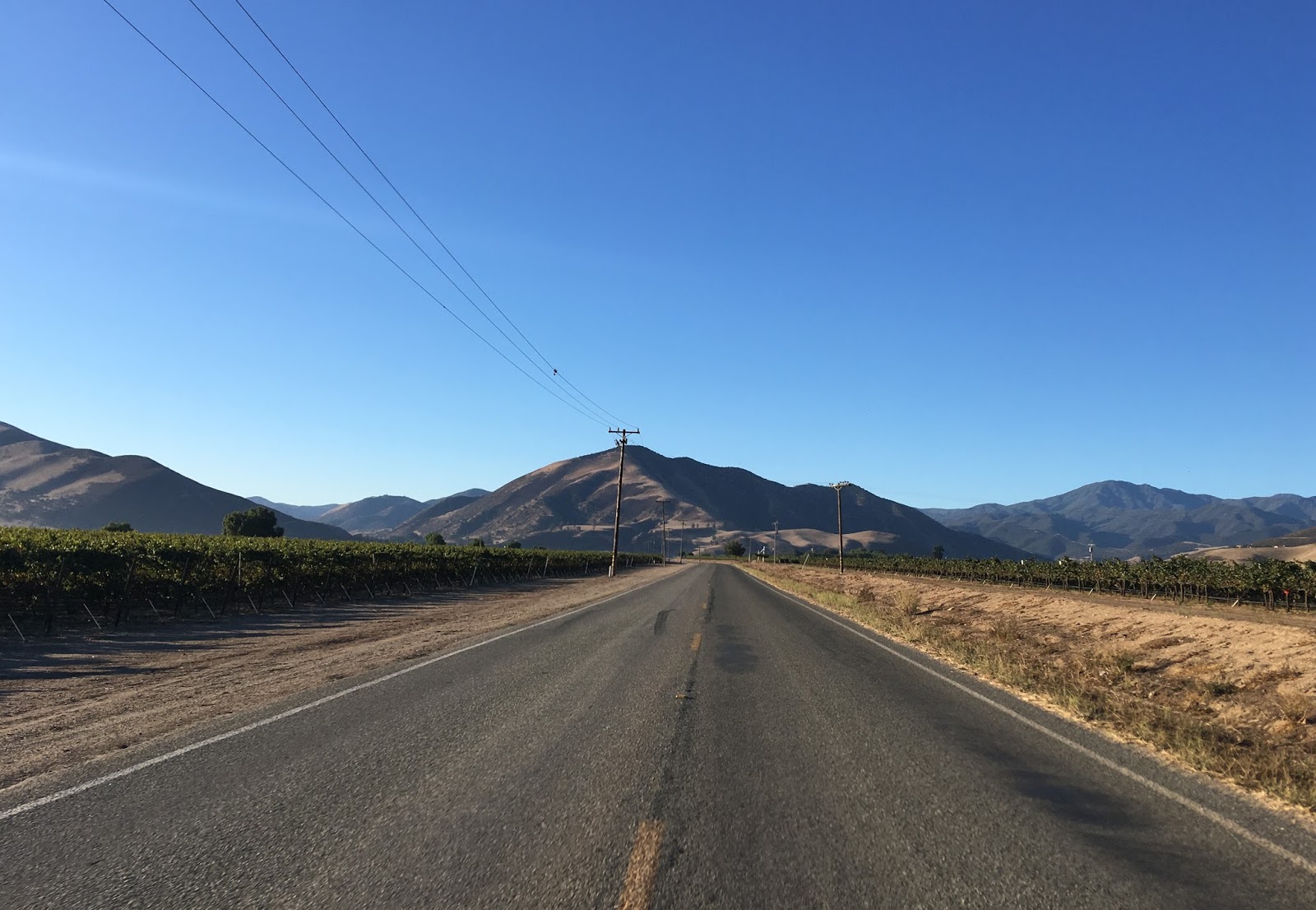
G17 gradually approaches the Arroyo Seco River where it meets G16 above the Elm Avenue/Arroyo Seco River Bridge. The Elm Avenue Bridge carries G16 over the Arroyo Seco River and is a single lane span that was constructed in 1943. G17 terminates at Elm Avenue and G16 assumes the Arroyo Seco Road alignment west into the Santa Lucia Range.


Comments