As I stated previously in Part 1 of Day 6, I decided to take M-26 back to Houghton despite the incoming storm over Lake Superior. I don't like to drive in the rain all that much but I hate backtracking even more. Besides, I wanted to see more of the copper mining ruins on the Keweenaw Peninsula. The current configuration of M-26 is about 96 miles in length from US 41 in Copper Harbor to US 45 west of Mass City.


M-26 runs along the coast for about 24 miles before meeting US 41 in Phoenix. The first community M-26 passes through Eagle Harbor which has been inhabited since 1844. The first large industry in Eagle Harbor was of course copper mining which took place at North American and Eagle Harbor mines. The community is mostly known for the Eagle Harbor lighthouse which dates back to 1871.

The storm from Copper Harbor finally caught up to me at Great Sand Bay between Eagle Harbor and Eagle River.

I stopped in Eagle River next while the rains were coming down. Eagle River dates back to the Mid-1840s and had profitable mines until the 1870s. I stopped to see the Lake Shore Drive Bridge which was built in 1915 and the Eagle River Falls below. The replacement Eagle River Timber Bridge is an arch span constructed of wood which was opened in 1990.


M-26 intersects US 41 in Phoenix and is multiplexed south to Calumet/Laurium. Phoenix was the location of the Phoenix Mine which was apparently one of the first big copper mining operations in the 1840s in the Keweenah Peninsula. Really all that appears to be left of the town is a general store-looking building at the junction of M-26/US 41.

M-26 is multiplexed for 14 miles south to Calumet. The first community south of Phoenix is Mohawk which appears to be a husk of mining village.


Directly south of Mohawk is the village of Ahmeek. Ahmeek was a mining town that was estalished in 1904 and was located on the Mineral Range Railroad. Ahmeek had a high population of about 900 during the height of the copper boom but has declined to less than 200. Ahmeek actually does have a substantial downtown area to see along 5 Mile Point Road.

South of Ahmeek is the communities of New Allouez and Allouez. Both appear to be related to the copper mining era but I can't find much of substance on either of them.


South of Allouez is Kearsarge which was founded in 1867 and apparently had active mining activity until the 1920s.

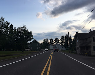
Between Kearsarge and Calumet/Laurium there is a sign for Centennial but I can't find anything written about it. I'm actually surprised more of these communities aren't covered on websites like ghosttowns.com.

Southbound M-26/US 41 intersects M-203 which comes from the west in Calument. M-26/US 41 bisects Calumet to the west and Laurium on the right before the former splits from the latter on 3rd Street.


M-26 uses Helca Street and Lake Linden Avenue to traverse downtown Laurium. Laurium essentially was founded alongside Calumet and actually had the name until 1895. Laurium was generally considered to be the more upscale and wealthier part of the Calumet/Laurium mining community which is reflective in some of the more ornate surviving homes. The peak population of Laurium was about 8,500 in 1910 and has declined to about 1,900 today.


M-26 starts to head towards the southeast shoreline of the Keweenaw Peninsula crossing through the community of Florida. I couldn't find anything written about Florida but it just appears to be an extension of Laurium.

Before entering Lake Liden M-26 travels under an abandoned Railroad overpass.

M-26 turns south on Calumet Street through downtown Lake Linden. I believe Lake Linden was founded in the 1880s and it appears to almost destroyed in a large fire 1887. The village had a peak population of about 2,600 at the peak of the copper boom but has declined to about 1,000 today.


South of Lake Linden is Hubbell which I can't find much written on. The community seems to have a lot in common with Lake Linden with similar buildings dating back to the copper boom.


Tamarack City is directly south of Hubbell which has some ruins of the Quincy Mill.


Approaching Portage Lake is Dollar Bay which was settled in 1887. Apparently the community used to be known as Clark originally.

Approaching the Portage Lake Lift Bridge is one more community which is known as Ripley. I don't know much of the history of the town but it was the location of the Quincy Smelter, the Quincy Mine is actually in the hills above.

M-26 meets US 41 at the Portage Lake Lift Bridge in Hancock, both multiplex to cross the Keweenaw Waterway. As I stated previously the current Portage Lake Lift Bridge dates back to 1959.


M-26 splits from US 41 heading southwest out of the city of Houghton while the latter heads through downtown heading southeast. I stayed the night in Houghton given that it was fairly late getting out of Isle Royale and Copper Harbor earlier in the day.


M-26 runs along the coast for about 24 miles before meeting US 41 in Phoenix. The first community M-26 passes through Eagle Harbor which has been inhabited since 1844. The first large industry in Eagle Harbor was of course copper mining which took place at North American and Eagle Harbor mines. The community is mostly known for the Eagle Harbor lighthouse which dates back to 1871.

The storm from Copper Harbor finally caught up to me at Great Sand Bay between Eagle Harbor and Eagle River.

I stopped in Eagle River next while the rains were coming down. Eagle River dates back to the Mid-1840s and had profitable mines until the 1870s. I stopped to see the Lake Shore Drive Bridge which was built in 1915 and the Eagle River Falls below. The replacement Eagle River Timber Bridge is an arch span constructed of wood which was opened in 1990.


M-26 intersects US 41 in Phoenix and is multiplexed south to Calumet/Laurium. Phoenix was the location of the Phoenix Mine which was apparently one of the first big copper mining operations in the 1840s in the Keweenah Peninsula. Really all that appears to be left of the town is a general store-looking building at the junction of M-26/US 41.

M-26 is multiplexed for 14 miles south to Calumet. The first community south of Phoenix is Mohawk which appears to be a husk of mining village.


Directly south of Mohawk is the village of Ahmeek. Ahmeek was a mining town that was estalished in 1904 and was located on the Mineral Range Railroad. Ahmeek had a high population of about 900 during the height of the copper boom but has declined to less than 200. Ahmeek actually does have a substantial downtown area to see along 5 Mile Point Road.

South of Ahmeek is the communities of New Allouez and Allouez. Both appear to be related to the copper mining era but I can't find much of substance on either of them.


South of Allouez is Kearsarge which was founded in 1867 and apparently had active mining activity until the 1920s.


Between Kearsarge and Calumet/Laurium there is a sign for Centennial but I can't find anything written about it. I'm actually surprised more of these communities aren't covered on websites like ghosttowns.com.

Southbound M-26/US 41 intersects M-203 which comes from the west in Calument. M-26/US 41 bisects Calumet to the west and Laurium on the right before the former splits from the latter on 3rd Street.


M-26 uses Helca Street and Lake Linden Avenue to traverse downtown Laurium. Laurium essentially was founded alongside Calumet and actually had the name until 1895. Laurium was generally considered to be the more upscale and wealthier part of the Calumet/Laurium mining community which is reflective in some of the more ornate surviving homes. The peak population of Laurium was about 8,500 in 1910 and has declined to about 1,900 today.


M-26 starts to head towards the southeast shoreline of the Keweenaw Peninsula crossing through the community of Florida. I couldn't find anything written about Florida but it just appears to be an extension of Laurium.

Before entering Lake Liden M-26 travels under an abandoned Railroad overpass.

M-26 turns south on Calumet Street through downtown Lake Linden. I believe Lake Linden was founded in the 1880s and it appears to almost destroyed in a large fire 1887. The village had a peak population of about 2,600 at the peak of the copper boom but has declined to about 1,000 today.
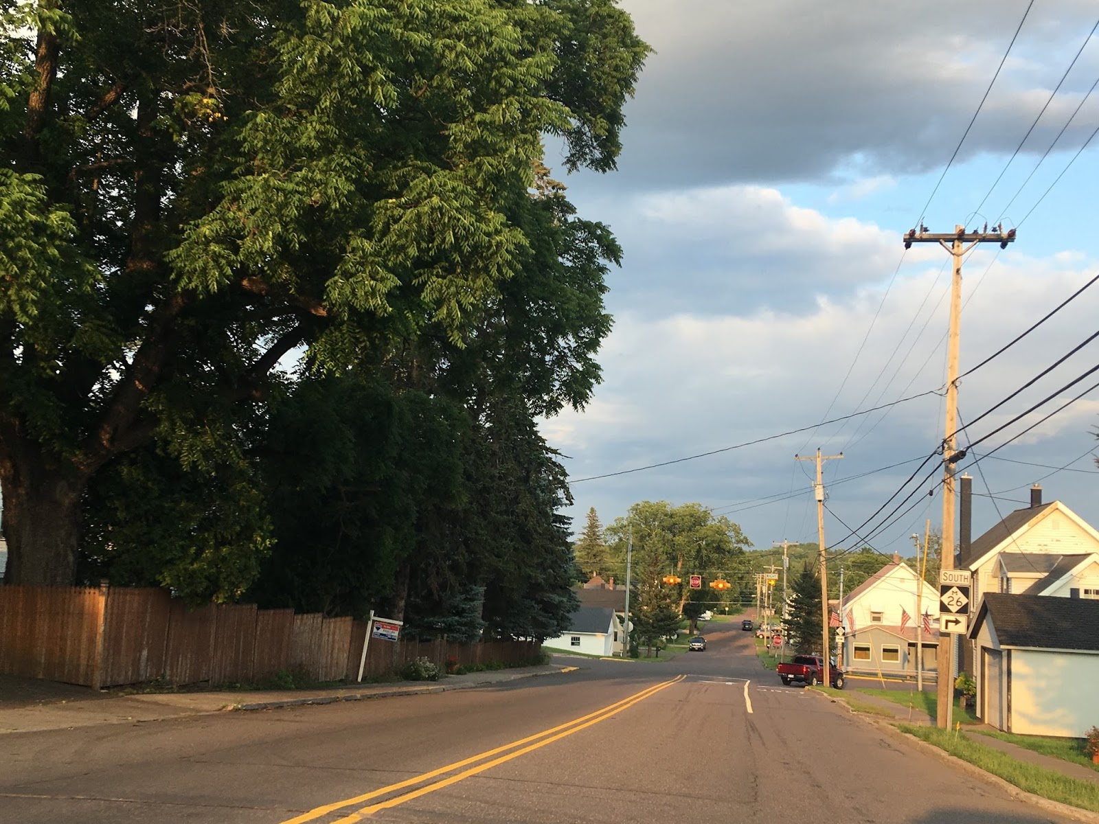


South of Lake Linden is Hubbell which I can't find much written on. The community seems to have a lot in common with Lake Linden with similar buildings dating back to the copper boom.


Tamarack City is directly south of Hubbell which has some ruins of the Quincy Mill.


Approaching Portage Lake is Dollar Bay which was settled in 1887. Apparently the community used to be known as Clark originally.

Approaching the Portage Lake Lift Bridge is one more community which is known as Ripley. I don't know much of the history of the town but it was the location of the Quincy Smelter, the Quincy Mine is actually in the hills above.

M-26 meets US 41 at the Portage Lake Lift Bridge in Hancock, both multiplex to cross the Keweenaw Waterway. As I stated previously the current Portage Lake Lift Bridge dates back to 1959.


M-26 splits from US 41 heading southwest out of the city of Houghton while the latter heads through downtown heading southeast. I stayed the night in Houghton given that it was fairly late getting out of Isle Royale and Copper Harbor earlier in the day.


Comments