For most part my route from Chicago had me sticking to I-80/I-90 through to the Cleveland area. The Indiana Toll Road picks up I-80 in Lake Station but I turned off it onto I-94 given I was headed to the Indiana Dunes. I thought it was interesting to see no tollbooth attendants and credit card readers in their place.

I-94 basically is a disaster zone with traffic shifted all over the place and 55 MPH speed limits. Exiting I-90 I had to detour onto Ripley Street just to get to eastbound I-94. Thankfully I wasn't on I-94 for very long before I got off on US 20 to head towards the Indiana Dunes.

I took IN 49 up to the Indiana Dunes which had a weird older style state route shield on a modern blank. My understanding is that it has been in place for a good 5-6 years and I can't find a conclusive answer as to why it has retro styling.


The Indiana Dunes are both a National Seashore and a state park. I stopped in the state park portion to climb the Devil's Slide. I never had actually stopped at the Indiana Dunes to visit when I was traveling the area, I thought it was worth a quick look.


I attempted to use IN 39 to return to the Indiana Toll Road but the eastbound ramp was closed and I didn't want to take the detour. I used US 20 and US 31 near South Bend to rejoin the Toll Road.


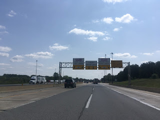
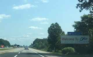
I took the Indiana Toll Road east through the state to the Ohio Turnpike.


Construction the Ohio Turnpike was heavy and the highway patrol was enforcing the 50 MPH despite no work going on. Really it felt like the Turnpike ought to be 75-80 MPH east to the Cleveland area. I made the mistake of stopping for food at a plaza which had a good twenty five people deep line, first time I've had Hardee's since the 1980s. I left the Turnpike at I-71 and took it down to OH 18 for the night.


Comments
Visit:Great Ocean Road Day Tours