
Tim Bell Road is a ten-mile rural highway corridor located near Waterford of Stanislaus County. The highway begins at Warnerville Road near Paulsell siding of the Sierra Railroad and terminates in the city of Waterford at California State Route 132. This highway corridor is mostly known for the unique 1925-era arch spandrel Dry Creek Bridge. The Dry Creek span is distinct from other like 1920s era structures in California given it was a hybrid design which incorporated timber vertical spandrels. As of the release of this blog Stanislaus County has an active bid to replace Dry Creek Bridge with a modernized structure.

Part 1; the history of Tim Bell Road, the Dry Creek Bridge and Paulsell siding
The exact origin of the name "Tim Bell" isn't clear. The name is likely a reference to the former local of the Waterford area. The community of Waterford itself was first settled on the Tuolumne River near the Appling Road Bridge by William W. Baker in 1857. The community was originally called "Bakerville" but was changed by the Postal Service in 1870 to "Waterford" due to confusion with Bakersfield in Kern County. The Southern Pacific Railroad would reach Waterford in 1891 and formally plot a town site.
From Waterford the southern half of what is now Tim Bell Road can be seen branching from the community (Township 3 South, Range 11 East) to the Stockton-Los Angeles Road at the property of Haslacher & Kahn on the 1906 Stanislaus Land & Abstract Company map. The roadway is shown to have followed an oxbow of Dry Creek originally at the property of Ann E. Beard.

The same map displays Paulsell siding north of Dry Creek along the Sierra Railway in Township 2 South, Range 12 East. At the time there was not bridge crossing Dry Creek connecting to what is now Tim Bell Road. What is now Claribel Road can be seen branching west of Paulsell siding to the Stockton-Los Angeles Road. The Stockton-Los Angeles Road itself is shown to have a bridge over Dry Creek at the property of Haslacher & Kahn.
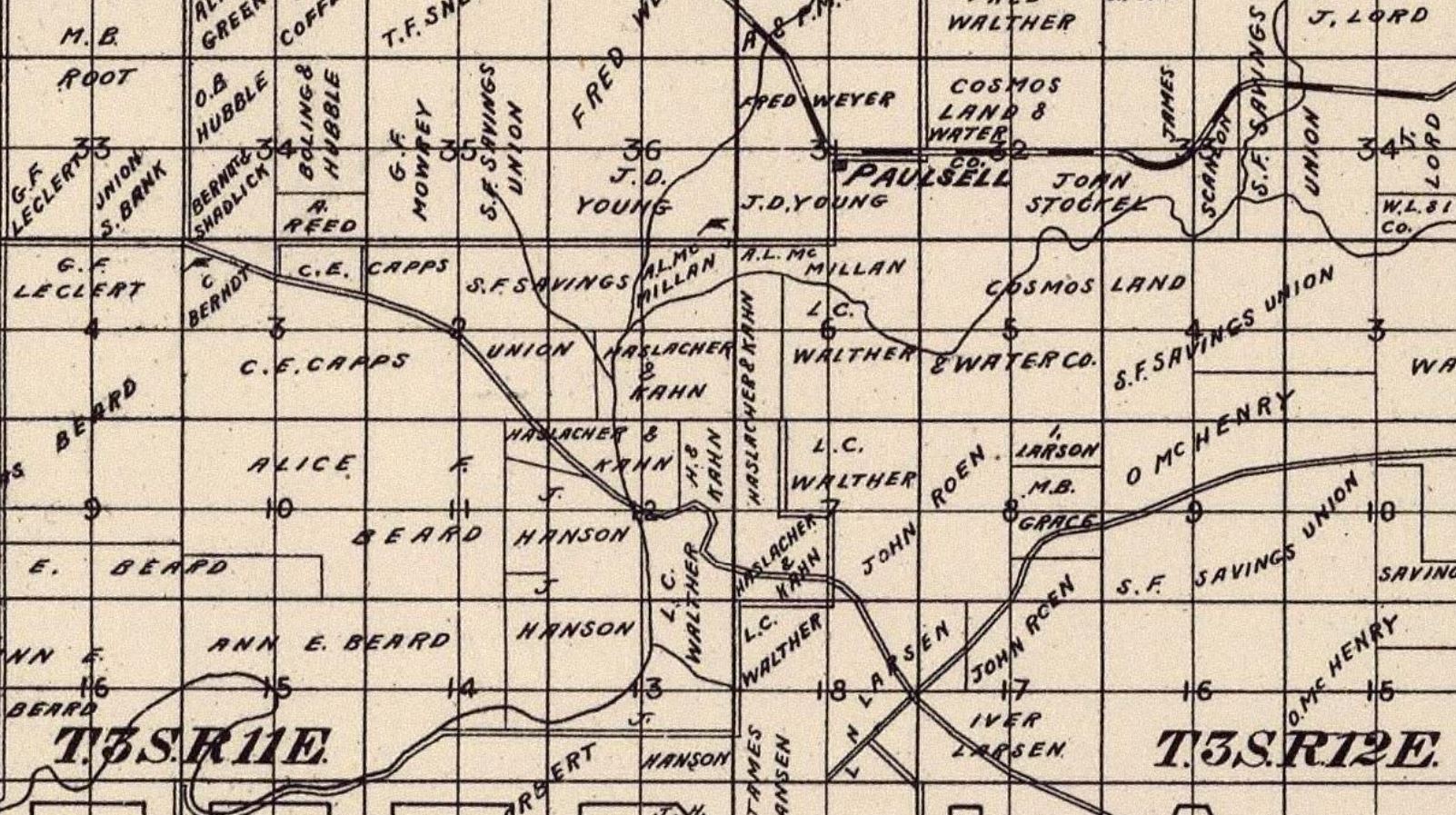
Paulsell is one of many sidings which were established by the Sierra Railway after the company incorporated during February 1897. The line was opened between Oakdale and a temporary terminus at Cooperstown by June 1897. The siding facility at Cooperstown included a wye which trains could use to turn around.
The Sierra Railway completed tracks east of Cooperstown to Chinese Camp by November 1897. The company would plot Occidential, Paulsell, Warnerville, Copperstown, Crimea (now Keystone) and Chinese siding during the initial run of line construction. The line would later be extended further east of Jamestown to the community of Tuolumne by 1900. The Sierra Railway from the outset has been a freight corridor which has mostly been focused on the hauling of lumber.
The southern terminus of Tim Bell Road is shown to closely align with the Appling Road Bridge at the Tuolumne River on the 1916 United States Geological Survey map of Waterford.

The Dry Creek Bridge was constructed as an extension of Tim Bell Road to Paulsell siding 1925. The structure is unique in that it is a hybrid concrete arch spandrel structure. The hybrid element is that the vertical spandrels are made of timber. Typically structures like this in California were complete comprised of concrete.
Tim Bell Road is shown to be extended through Paulsell siding to Warnerville Road on the 1935 Division of Highways map of Stanislaus County.

The Sierra Railway was sold at public auction in 1937 and was rebranded as the Sierra Railroad. The railroad switched from steam powered locomotives to diesel in 1955. Some of the steam locomotives were retained for usage as movie props with the most famous example being Sierra Railway locomotive #3. The switch from steam to diesel saw usage of the siding facility in Paulsell drop considerably.
The 1939 United States Geological Survey map of Modesto East shows Tim Bell Road to be realigned away from the Dry Creek oxbow near Waterford. The original alignment now appears on maps as Old Tim Bell Road.

The Dry Creek Bridge originally had a wooden road deck. The original deck was replaced by a metal one by Stanislaus County in 1979. The structure is eligible for the National Register of Historic Places. However, this bridge is endangered as Stanislaus County had a contract bid out for a replacement. The scope of work includes removal of the existing bridge and realignment of Tim Bell Road.
In March 2021 Stanislaus County released an Environmental Impact Study regarding the replacement of the Dry Creek Bridge on Tim Bell Road. The study notes the current bridge is to be removed and replaced by a new bridge above the 100-year flood plain of Dry Creek. Tim Bell Road is also intended to be straightened away from the S-curve which is part of the current alignment of over Dry Creek.


As of April 2, 2025, a bid announcement has been advertised for the Dry Creek Bridge replacement and realignment of Tim Bell Road. The project was advertised at a cost of $24,245,000.
Part 2; a drive on Tim Bell Road
Southbound Tim Bell Road begins at Warnerville Road.

Southbound Tim Bell Road begins as a paved roadway but quickly drops to a 25 Mile Per Hour speed limit approaching Paulsell siding. The roadway surface turns to a mixture of severely broken asphalt intermixed with flood prone gravel.


Tim Bell Road makes two ninety degree turns and crosses the Sierra Railroad.


This view faces east on the Sierra Railroad towards Warnerville.

The view west faces into what remains of Paulsell siding. The actual siding facility still exists but there is no longer standing buildings.

Tim Bell Road south of Paulsell siding resumes being a fully paved road at Claribel Road.


Southbound Tim Bell Road crosses the Dry Creek Bridge via an S-curve.


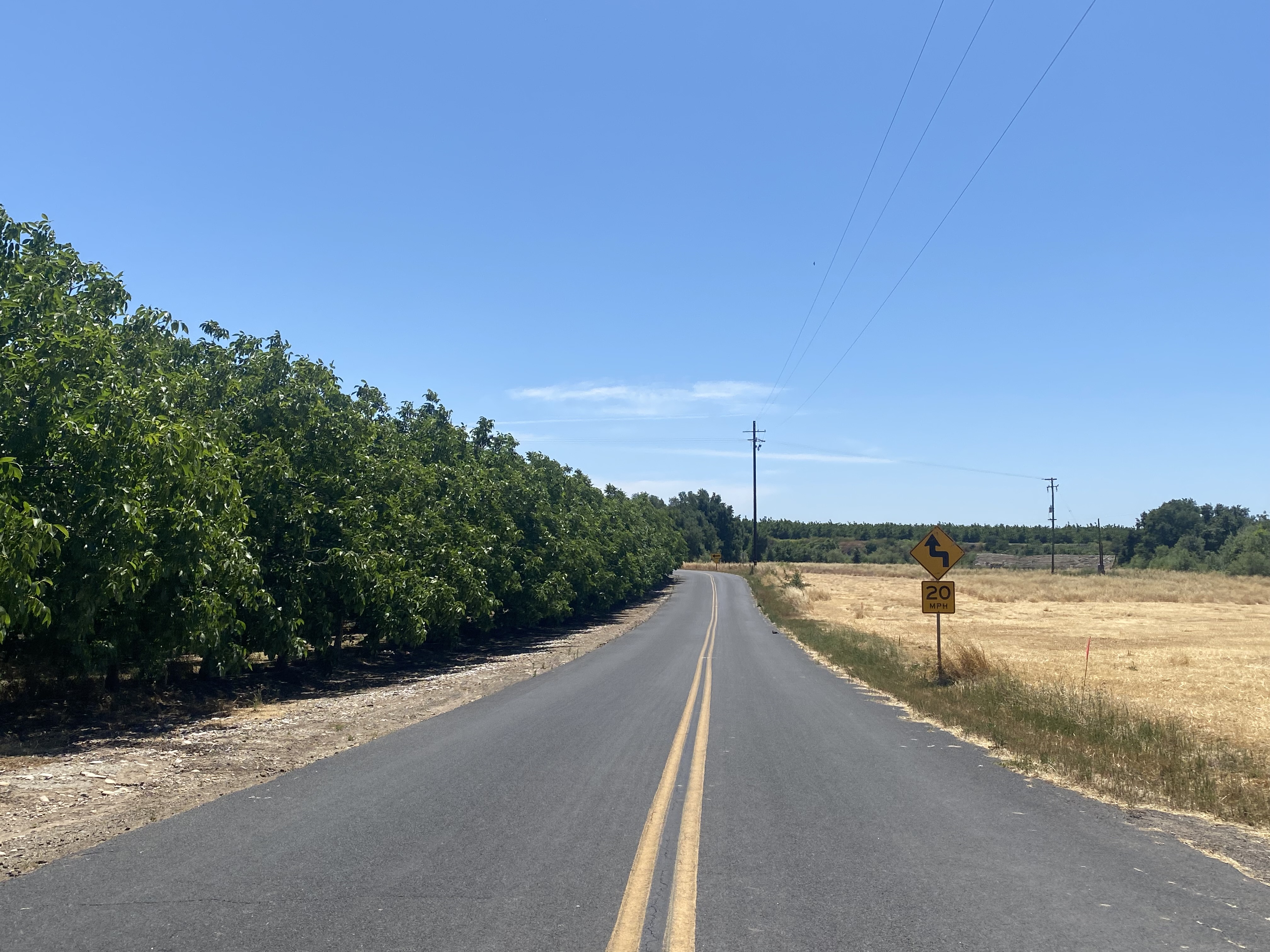

Tim Bell Road makes a sudden-right hand turn at Hazelton Road and begins tracking towards Waterford.


Tim Bell Road begins a westward track. Approaching a large power line one can observe where the roadway once continued straight along Dry Creek to Old Tim Bell Road.


Tim Bell Road intersects and makes a left-hand turn at Old Tim Bell Road.


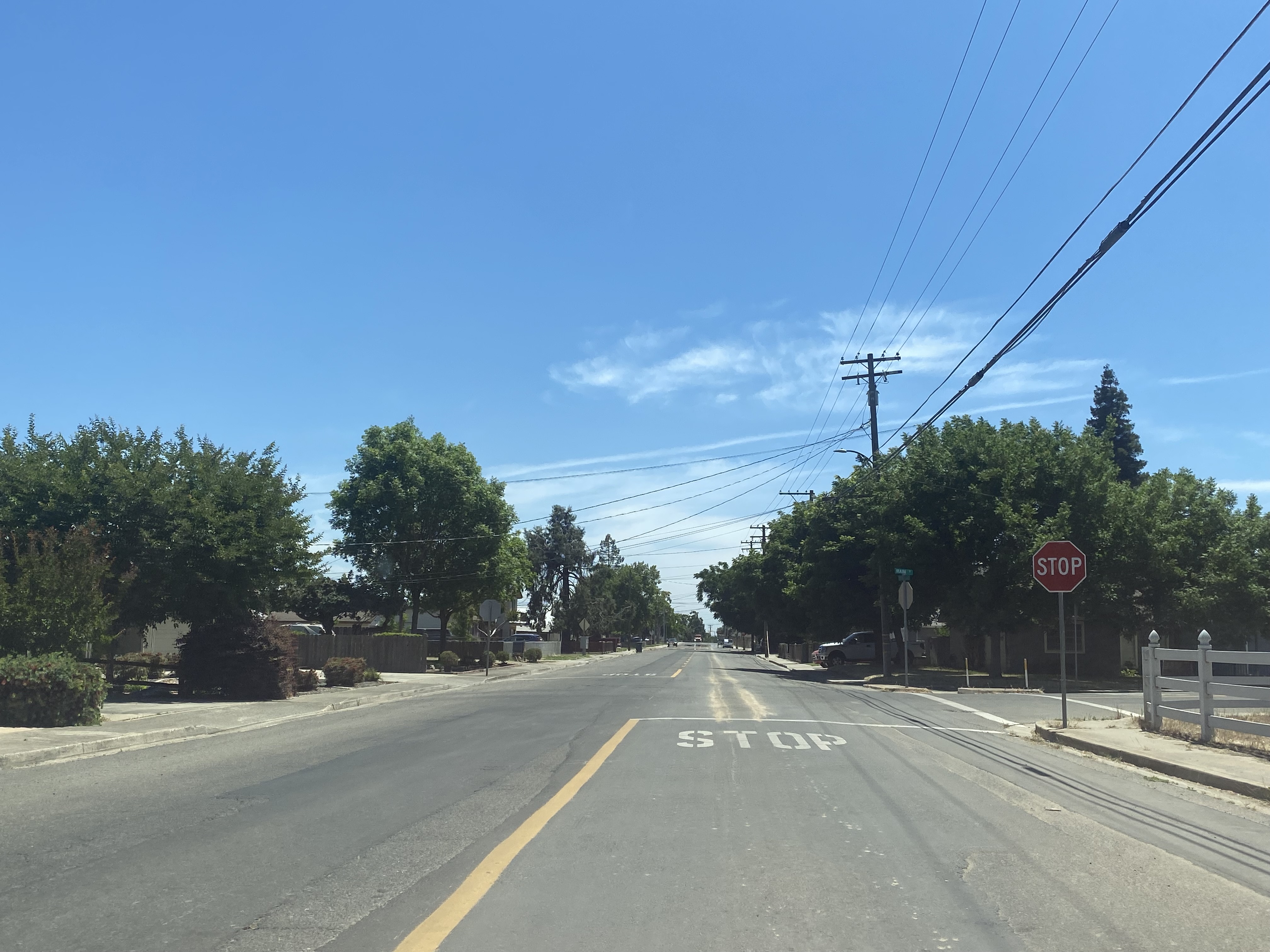
Tim Bell Road resumes a southward course and terminates at California State Route 132 in Waterford.



Comments