
Madera County Road 620 is an approximately six-mile-long rural highway in the Sierra Nevada range north of Oakhurst. The corridor spans from California State Route 41 west to Madera County Road 628. The segment west of Old Yosemite Road alternates between asphalt and dirt surfaces.
What is now Madera County Road 620 was originally built as a trail from Bissett's Station at the Fresno-Yosemite Road (now Old Yosemite Road) west to the junction of the Mariposa Road (now Road 628) and the Wawona Stage Road (now Miami Mountain Road). In 1934 Bissett's Station would be bypassed to the east by the then new California State Route 41 which followed Lewis Creek. The Bissett Station trail was extended east to California State Route 41 and improved to facilitate automotive travel. When Madera County dropped road names in favor of a numbering system Bissett's Station Road became Road 620.

Part 1; the history of Madera County Road 620
During 1908 Elick and Emma Bissett established Bissett's Station five miles north of Fresno Flats along the Fresno-Yosemite Road. Bissett's Station housed machinery which was frequently used to haul materials to both Sugar Pine and Wawona. The location can still be found today at the northeast corner of modern Old Yosemite Road and Madera County Road 620.
What is now Road 620 was originally built as a trail from Bissett's Station at the Fresno-Yosemite Road west to the junction of the Mariposa Road (now Road 628) and the Wawona Stage Road (now Miami Mountain Road). Said trail can be seen on the 1912 United States Geological Survey Map of Mariposa.

During 1933 the Fresno-Yosemite Road would be added to the State Highway System as a component of Legislative Route Number 125. The new State Highway annexed numerous existing plans to straighten the Fresno-Yosemite Highway, including a bypass of Bissett's Station. Said bypass was announced as an advertised project north of Oakhurst in the March 1934 California Highways & Public Works.

The bypass of Bissett's Station was complete during 1934 which led to the business being shuttered. The new State Highway north of Oakhurst followed Nelder Creek and Lewis Creek. The entirety of Legislative Route Number 125 north of Fresno would be assigned as California State Route 41 during August 1934.
The trail to Bissett's Station would be extended east to the then new alignment of California State Route 41 and improved to facilitate automotive travel. The corridor would be named "Bissett Station Road" and can be seen on the 1935 Division of Highways Map of Madera County.

Madera County would drop road names in favor of a numbering convention during the middle of the twentieth century. Bissett's Station Road would be reassigned as Madera County Road 620.
Part 2; a drive on Madera County Road 620
Westbound Road 620 begins from California State Route 41 a couple miles north of Oakhurst.

Road 620 ascends to a bluff which faces south overlooking Oakhurst.


Road 620 continues west and intersects Old Yosemite Road at the site of Bissett's Station.


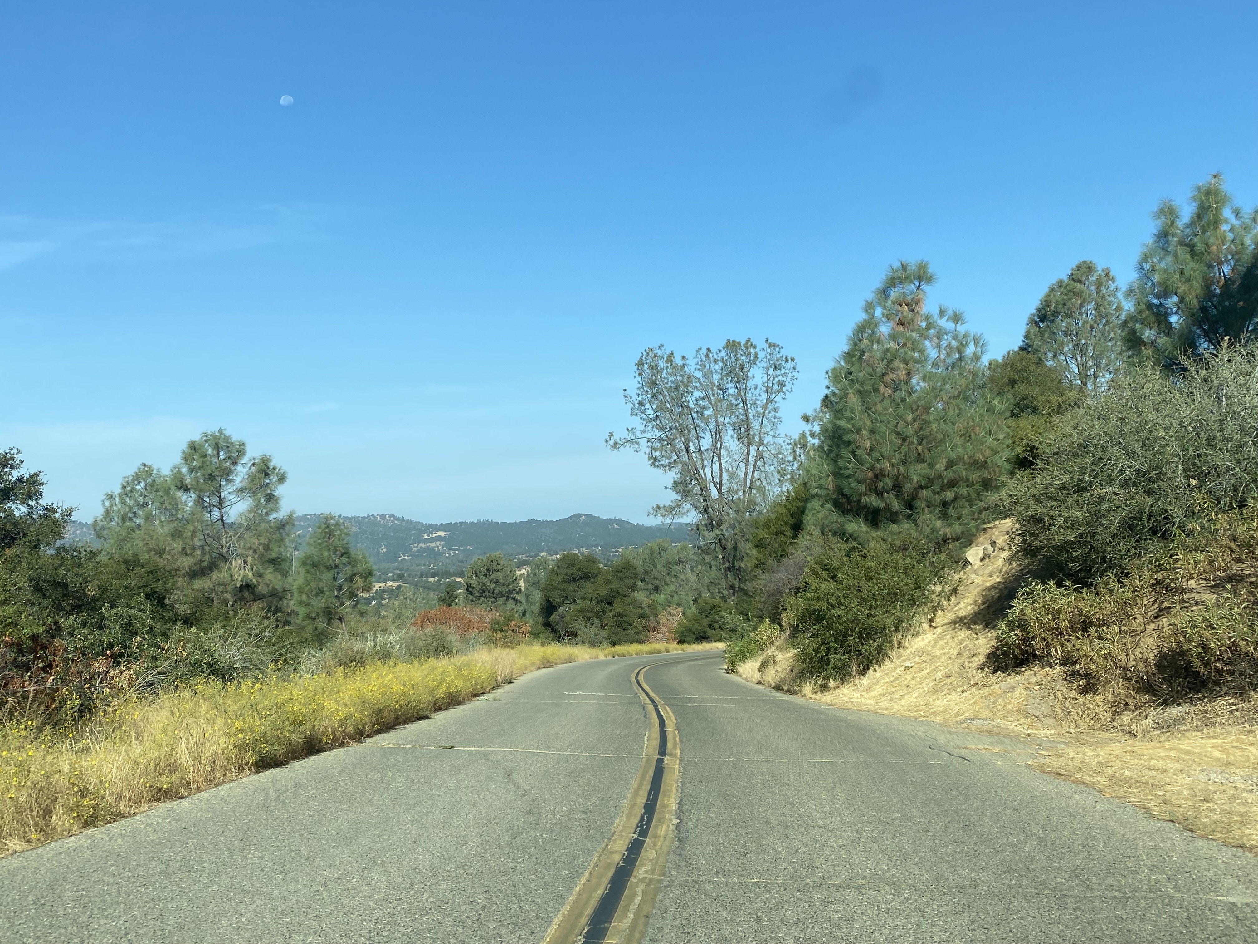
Road 620 west of Old Yosemite Road continues for several miles before becoming a dirt surfaced highway.




Road 620 continues west and crosses Carter Creek via a concrete ford. The dirt surface appears to be top layering weathered asphalt.


Road 620 begins to ascend a steep grade and resumes a normal paved surface approaching the western terminus at Road 628.


Comments