
Watts Valley Road is an approximately 18.6-mile rural highway corridor in the Sierra Nevada foothills of Fresno County. The corridor begins at the eastern terminus of Ashlan Avenue and passes through the namesake Watts Valley where it terminates a Burrough Valley Road. Watts Valley is named after Texas miner Charles B. Watts who settled in the area during the 1850s. Modern Watts Valley Road can be seen on maps shortly after the Copper King Mine opened in 1900. The corridor has historically been known for wildflowers and was designated as part of the Fresno County Wildflower Trail in 1998.

Part 1; the history of Watts Valley Road
Watts Valley is located in the Sierra Nevada foothills of Fresno County northeast of the city of Sanger. The valley is named after Texas gold miner Charles B. Watts who settled in the area during the early 1850s. Charles Watts would serve under U.S. Army General Edward Fitzgerald Beale and would later become a wealthy farmer in his namesake valley.
The death of Charles Watts was announced in the November 13, 1907, Los Angeles Times (courtesy Eastern Fresno County Historical Society).

Watts Valley can be seen on the 1891 Thompson Atlas of Fresno County in Township 11 South, Range 24 East. Watts Valley was originally accessed by a road through nearby Burrough Valley.

In 1900 Watts Valley would see a mining boom when the Copper King Mine opened on nearby Pittman Hill. The mine was located on Sales Creek and had several shafts which were a combined length of 2,500 feet. The Copper King Mine was the name source for Copper Avenue and was worked until 1917. The mine can be seen below circa 1900 in a photo sourced from the Eastern Fresno County Historical Society.

Modern Watts Valley Road can be seen on the 1911 Denny map of Fresno County. The corridor can be seen originating at Ashlan Avenue in Township 13 South, Range 23 East extending through to Watts Valley in Township 11 South, Range 24 East. The Copper King Mine is shown in Township 12 South, Range 23 East.

The March 22, 1931, Fresno Morning Republican (courtesy Eastern Fresno County Historical Society) featured a drive along Watts Valley Road. The purpose of the article was to detail the numerous Spring season wildflowers which Watts Valley was known for. Watts Valley Road is described as an excellent dirt grade and easy to drive.


Watts Valley Road can be seen as a minor rural highway on the 1935 Division of Highways map of Fresno County.
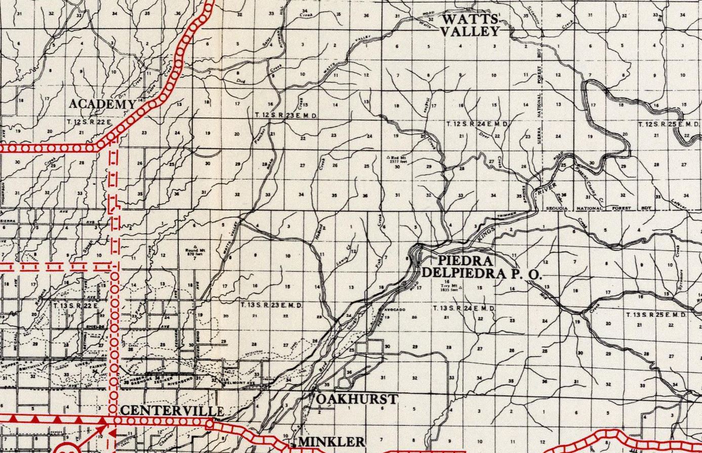
Watts Valley Road from Ashlan Avenue to Pittman Hill Road is part of the fifty-mile-long Fresno County Wildflower Trail. The Wildflower Trail was incorporated in 1998 and is one of several Fresno County auto touring trails.

Part 2; a drive on Watts Valley Road
Eastbound Watts Valley Road begins at the terminus of Ashlan Avenue at Riverbend Avenue.

Watts Valley Road crosses the Friant-Kern Canal.


The Wildflower Trail portion of Watts Valley Road is carried as two-lane highway into the Sierra Nevada foothills. The corridor makes a right-hand turn approaching Pittman Hill Road.


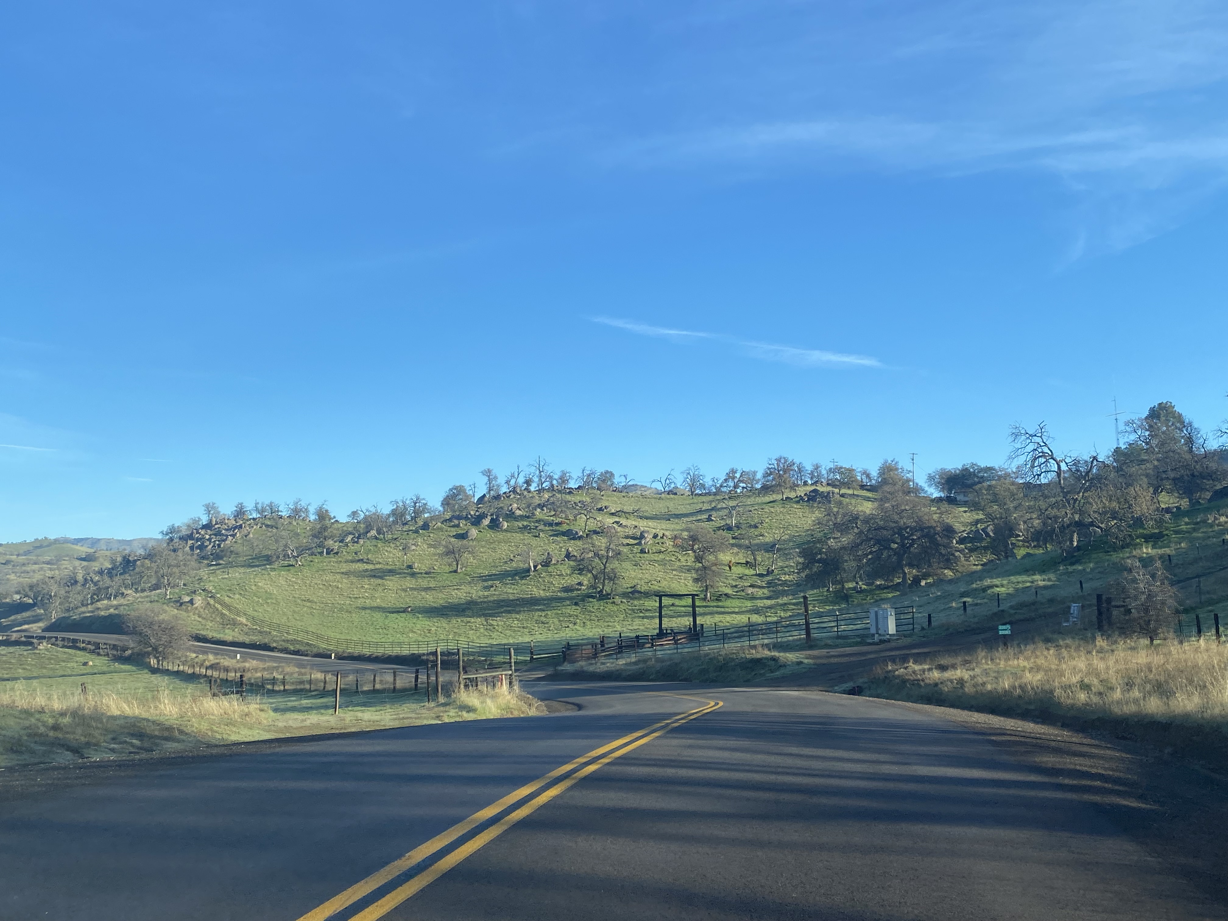


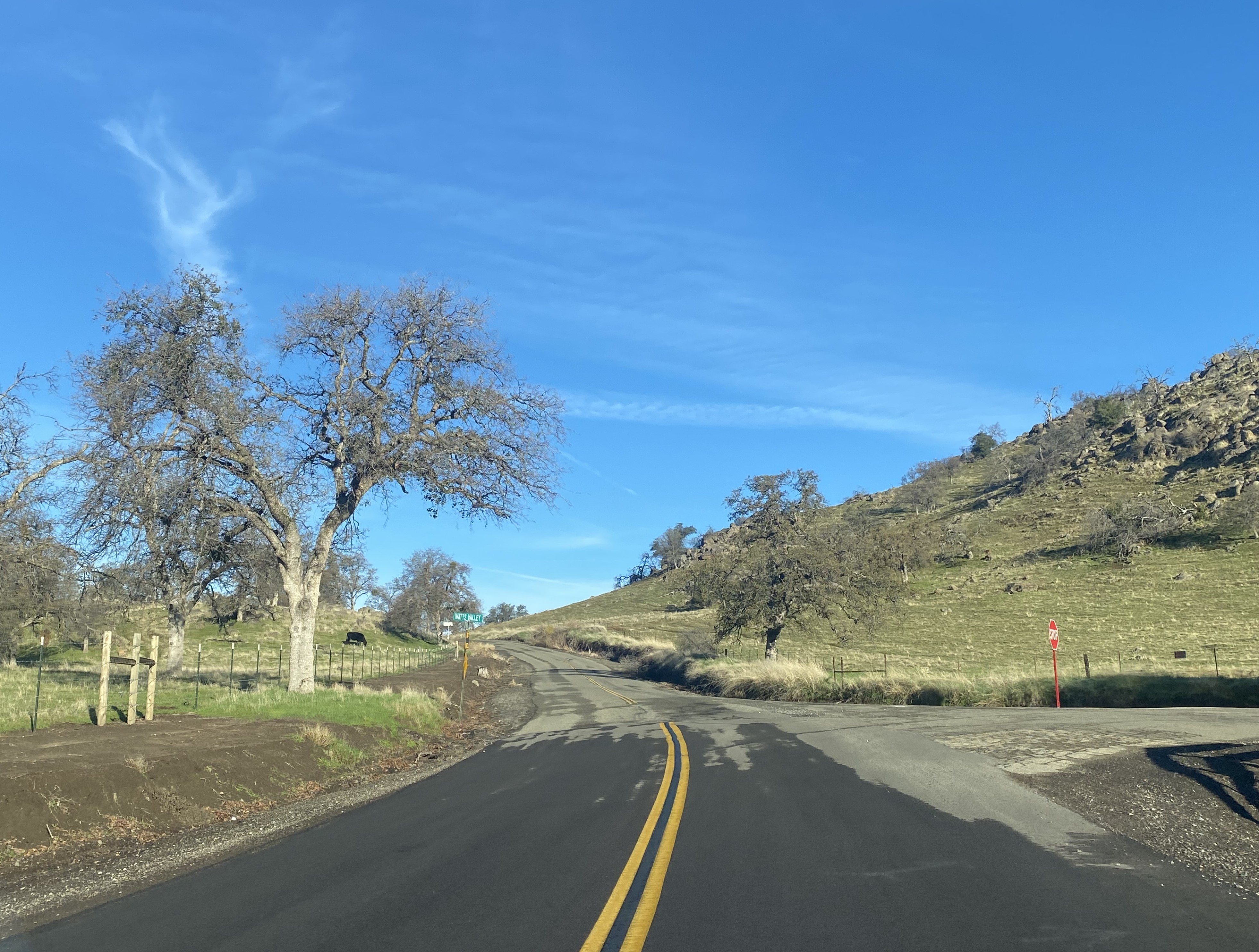
Watts Valley Road narrows to one-lane and ascends a grade which climbs to approximately 2,000 feet above sea level.


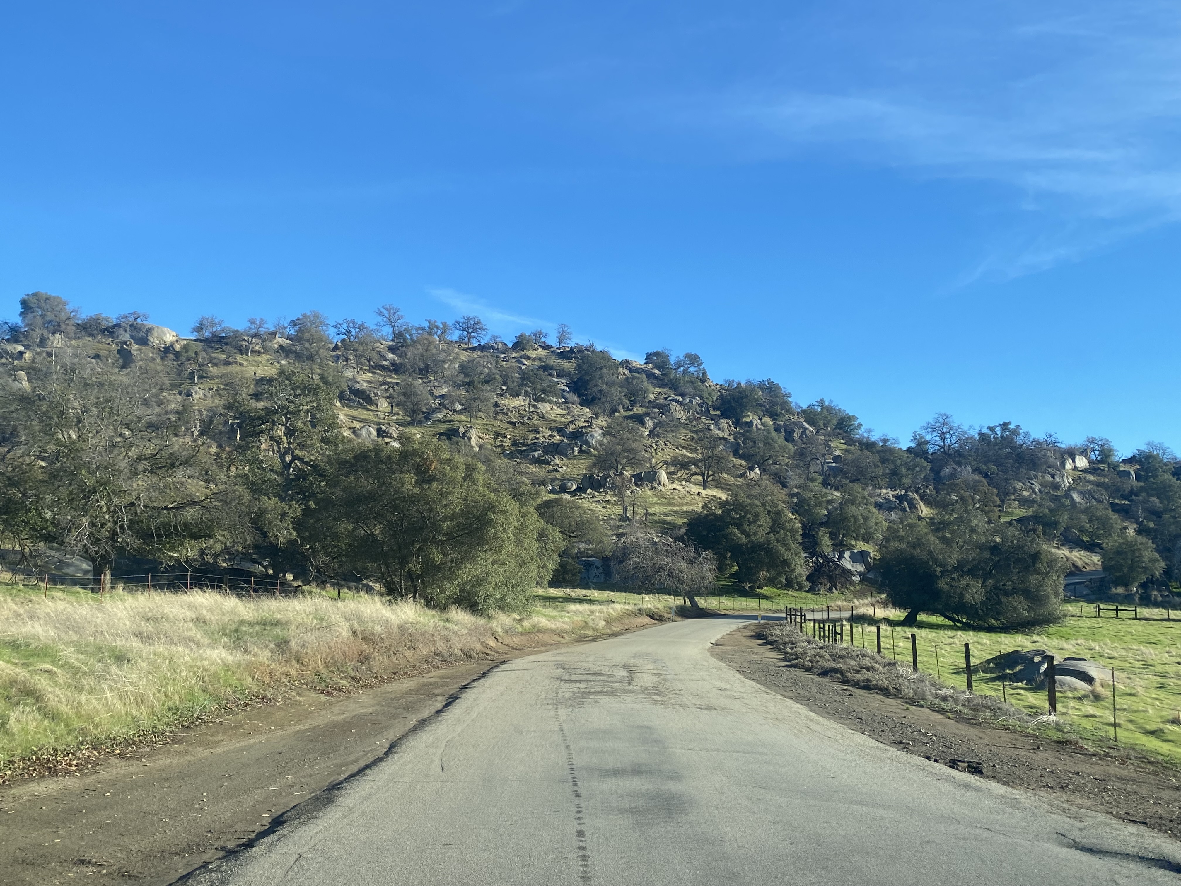


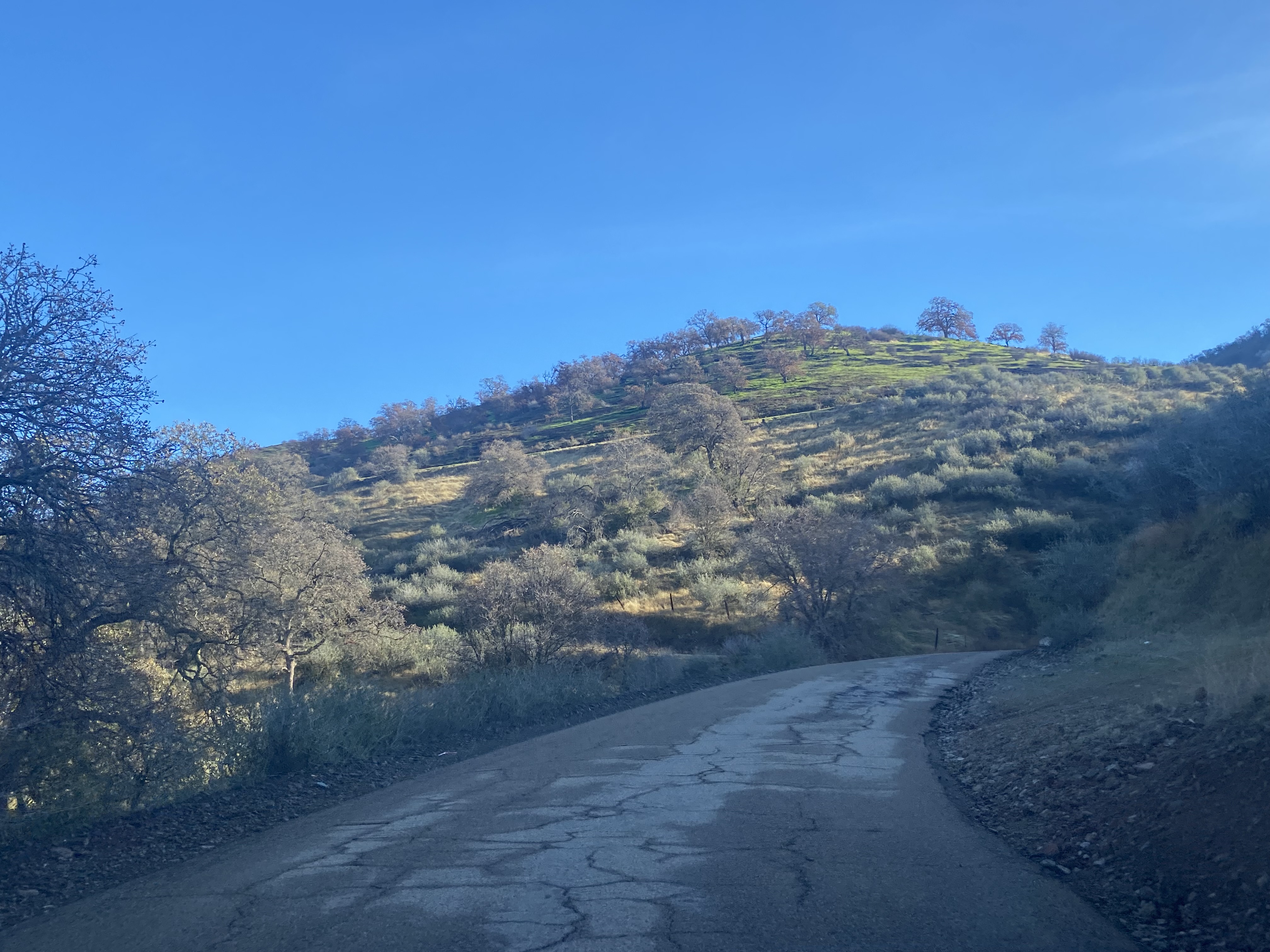


Watts Valley Road begins to descend into the namesake valley and crosses the single lane Watts Creek.


Watts Valley Road continues east through Watts Valley and approaches Maxon Road. The corridor makes a left hand turn northward where it resumes being a two-lane road which itself ends at Burrough Valley Road.


Comments