A relic of US Route 99 can be found at the Smokey Point Rest Area on northbound Interstate 5 in the form of the Big Cedar Stump. The Big Cedar Stump is a former drive-through tree carved during 1916 which was originally located on the Pacific Highway at what is now the northeast corner of Smokey Point Boulevard and Pioneer Highway (now Washington State Route 530). The Big Cedar Stump was moved to the northwest of corner of Smokey Point Boulevard and Pioneer Highway during 1922 which became the original alignment of US Route 99 during 1926. US Route 99 was realigned via a new direct routing north of Smokey Point bypassing Silvana during 1934. The Big Cedar Stump was moved to the new alignment of US Route 99 during 1939. During 1971 the Big Cedar Stump was brought to where now lies at the northbound Smokey Point Rest Area along Interstate 5.
This blog is part of the larger Gribblenation US Route 99 Page. For more information pertaining to the other various segments of US Route 99 and it's three-digit child routes check out the link the below.
Part 1; the history of the Big Cedar Stump and US Route 99 in Smokey Point
The area now known as Smokey Point was first settled during the early 20th century north of Marysville as Rex's Corner. Rex's Corner was located on the main north/south highway through Snohomish County. During the 1913 the Pacific Highway was established as an organized Auto Trail Association borne out of the Good Roads movement. The Pacific Highway was applied over the through highway at Rex's Corner. The Pacific Highway through what was Rex's Corner follows modern day Smokey Point Boulevard and Pioneer Highway towards Silvana.
What was to become the Big Cedar Stump burned during 1896 at what became the northeast corner of Smokey Point Boulevard and Pioneer Highway. The Big Cedar Stump was one of the once numerous Western Redcedar which populated northern Snohomish County. During 1916 the top of the Big Cedar Stump was cut, and a drive through tunnel was bored. The Big Cedar Stump can be seen along the Pacific Highway in a 1920 photo by Darius Kinsey of Seattle. The Big Cedar Stump would be moved to the northwest corner of Pioneer Highway and Smokey Point Boulevard during 1922.
The Pacific Highway (4) and Evergreen National Highway (20) can be seen passing through Rex's Corner on the 1924 Rand McNally Map of Washington.
The US Route System was formally approved by the American Association of State Highway Engineers (AASHO) on November 11, 1926. which formally brought US Route 99 into existence. US Route 99 overlaid the existing Pacific Highway in Washington State. The description of US Route 99 can be seen on the November 11, 1926, AASHO descriptions of the US Routes in Washington State.
US Route 99 can be seen passing through Rex's Corner via Smokey Point Boulevard and Pioneer Highway towards Silvana on the 1931 Clason's Map of Washington.
By 1934 the State of Washington constructed a new direct alignment for US Route 99 between Smokey Point directly to Mount Vernon. This direct alignment departed Smokey Point Boulevard at what is now 200th Street Northeast via a bypass of Silvana and Stanwood. The new direct alignment of US Route 99 appears on a 1935 Washington State Highway map depicting the location of the US Routes.
During 1937 the entirety of US Route 99 was dual assigned as Primary State Route 1. During 1939 the Big Cedar Stump was dissembled and brought to the new alignment of US Route 99 just north of Portage Creek. On May 27, 1939, the crown Prince and Princess of Norway are known to have driven through the Big Cedar Stump.
How Rex's Corner came to be called Smokey Point is discussed in the
June 2, 2004, Arlington Tribune and a
December 20, 2014, article of Herald Net. Rex's Corner was located along US Route 99 on Smokey Point Boulevard at 172nd Street Northeast (now Washington State Route 531). Rex's Corner is stated to have been the location where traffic between Marysville and Silvana on US Route 99 would frequently back up at. Rex's Corner was sold to Eric and Peral Shurstad during 1946 who renamed it the "Smokey Point Cafe." The Smokey Point Cafe was named after a smokehouse which was located in Minneapolis.
The US Route 99 bypass of Marysville would be completed to Stimsons Crossing near 136th Street Northeast by 1954. The Marysville bypass tied into the existing alignment of US Route 99 on Smokey Point Boulevard. Before the end of the decade the decade a bypass alignment of US Route 99 was extended north past Smokey Point to the Stillaguamish River.
On June 29, 1956, the Federal Highway Aid Act of 1956 was signed into law on the Federal Level. The Federal Highway Aid Act of 1956 was the genesis point of the Interstate Highway System which would in the coming decade sew the demise via of US Route 99 in Washington via replacement by Interstate 5.
On June 24, 1969, the AASHO Executive Commitee approved a request by the Washington State Highway Commission to eliminate US Route 99 in Washington. The Washington State Highway Commission approved a motion to eliminate US Route 99 on April 22, 1969. The justification to eliminate US Route 99 in Washington State was to avoid confusion and cost associated with signing the highway concurrent on much of Interstate 5.
During 1971 the Big Cedar Stump would be relocated for a final time to the northbound Smokey Point Rest Area along Interstate 5. The Stillaguamish River north of Smokey Point would be twinned during 1972.
Part 2; visiting the Big Cedar Stump
The Big Cedar Stump can be visited at the northbound Smokey Point Rest Area. The Big Cedar Stump can longer be driven through but still is accessible on foot. A large plaque details the history of the Big Cedar Stump.
Part 3; a drive on former US Route 99 through Smokey Point
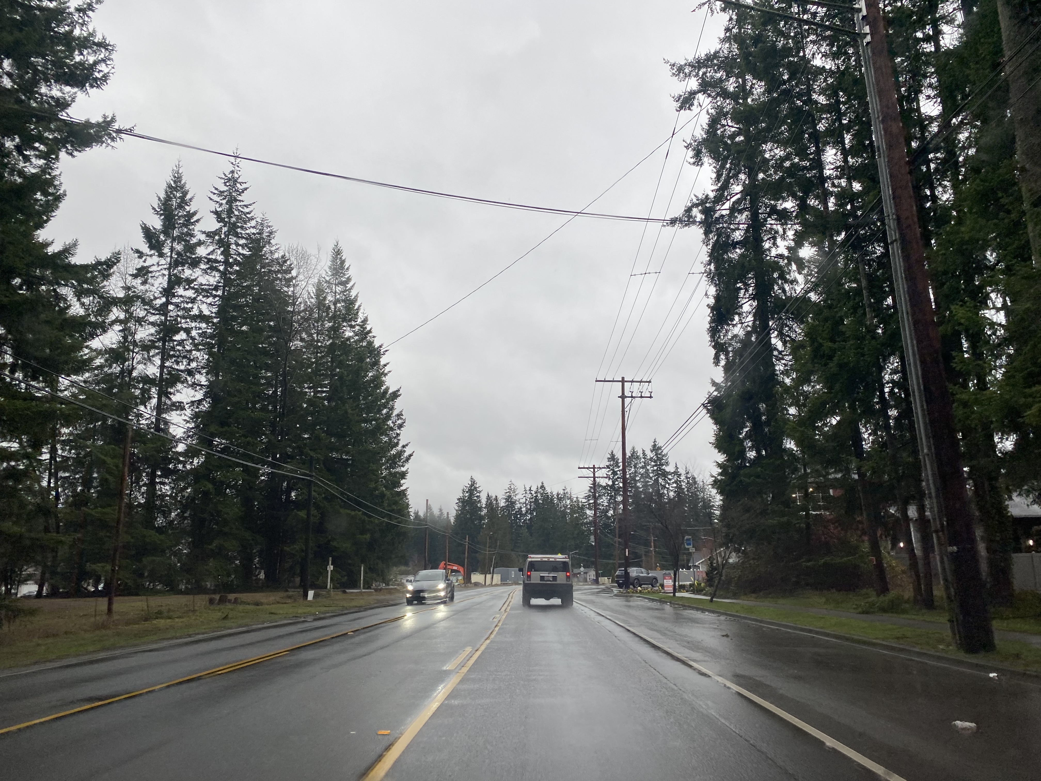
The original alignment of US Route 99 through Smokey Point is accessible via Interstate 5 Exit 208 onto Washington State Route 530. Former US Route 99 on Pioneer Highway from Interstate 5 to Smokey Point Boulevard is now part of Washington State Route 530.
Former US Route 99 southbound would have originally transitioned from Pioneer Highway to Smokey Point Boulevard via a right-hand turn at a Y-junction.
Smokey Point Boulevard southbound enters the city of Arlington and neighborhood of Smokey Point at 188th Street Northeast. During 1999 the northern portions of Smokey Point were annexed into the city of Arlington.
Former US Route 99 would have followed Smokey Point Boulevard south to 172nd Street Northeast where the Smokey Point Cafe would have been located. During the 2000s the southern and western portion of Smokey Point have been annexed by Marysville.


Comments