Round Mountain Road is an approximately 19-mile highway located in the foothills of the Sierra Nevada Mountains northeast of Bakersfield. Round Mountain Road begins at China Grade Loop at the Kern River near the site of Gordon's Ferry and terminates at Granite Road. The Round Mountain Road corridor incorporates parts of the 1850s-era stage route known as the Stockton-Los Angeles Road in the form of Gordon‘s Ferry and Posey Station. Modern Round Mountain Road emerged following the discovery of the Kern River Oil Field during 1899 and the Round Mountain Oil Field during 1927.
Part 1; the history of Round Mountain Road and the Stockton-Los Angeles RoadThe Stockton-Los Angeles Road came into use after the 1853 Kern River Gold Rush began. The Stockton-Los Angeles Road was a replacement of the earlier El Camino Viejo. Unlike the El Camino Viejo the Stockton-Los Angeles Road avoided the dense Tule Marches in San Joaquin Valley. The Stockton-Los Angles Road stayed close to the Sierra Nevada Mountain foothills near the new claims on the Kern River watershed. The corridor of Stockton-Los Angeles Road was also part of the 1858-61 alignment of the southern Butterfield Overland Mail Route.
The formation known as the China Grade was used by the Stockton-Los Angeles Road to descend the Kern River Bluff to Gordon's Ferry at the Kern River. From Gordon's Ferry the Stockton-Los Angeles Road followed the foothills of the Sierra Nevada Mountains to reach Posey Station (also known as Poso Flat) at Poso Creek. The Stockton-Los Angeles Road can be seen utilizing China Grade and Gordon's Ferry to reach Posey Station on the 1857 Britton & Rey's map of California.
The popularity of the Stockton-Los Angeles Road began to decline rapidly as the Central Pacific Railroad through San Joaquin Valley was built through the 1870s. Farm diversions for irrigation in San Joaquin Valley and the presence of various rail sidings along the Central Pacific Railroad spurred infrastructure development which made development through previous wetlands easier.
During the 1870s Chinese settlers in the Bakersfield area improved the route of the Stockton-Los Angeles Road down the Kern River Bluff. These settlers used the Kern River Bluff to search for watercress along the Kern River in the vicinity of location of Goron's Ferry. In time the route down the Kern River Bluff came to be known as the China Grade in reference to the settlers who improved it. In 1899 the Kern River Oil Field was discovered north of the Kern River Bluff and the China Grade an important access route to reach it.
The
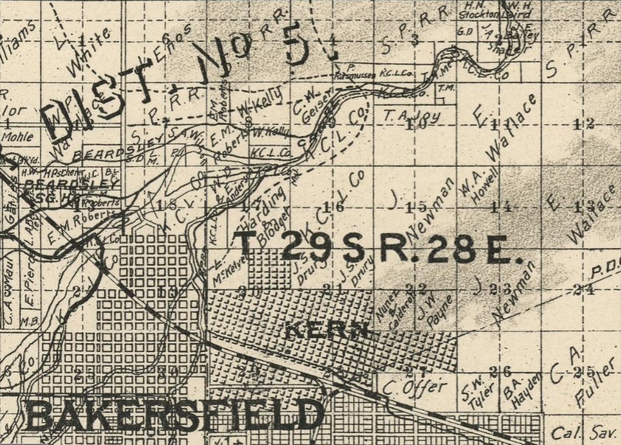
1898 Walkup Map of Kern County depicts the waning years of the Stockton-Los Angeles Road between Gordon's Ferry and Posey Station. The Stockton-Los Angeles Road can be seen crossing the Kern River from the China Grade at Township 29, Range 28. The Stockton-Los Angeles Road is shown continuing north to the vicinity of Posey Station via Granite Station. From Granite Station the Stockton-Los Angeles Road is shown continuing north to the Tulare County line by way of the outskirts of Woody. Much of the Stockton-Los Angeles Road north of the Kern River is displayed as a trail denoting the declining importance of the corridor.


During the 1910s the China Grade was improved by Kern County and a bridge was installed at Gordon's Ferry to permit east access the Kern River Oilfield and the so-called "Oil City." Below the China Grade (now part of Alfred Harrell Highway) can be seen snaking down the Kern River Bluff in a 1910-1915 era photo from the Antique Collection of Michael J. Semas Facebook Page.
Round Mountain Road can be seen connecting the Oil City near Gordon's Ferry to Granite Road on the
1917 California Automobile Association Map. Much of the previous routing of the Stockton-Los Angeles Road between Gordon's Ferry and Posey Station appears to have been repurposed for oil exploitation.
The original Kern River Bridge at Gordon's Ferry can be seen below in a photo dated to 1918.
The Round Mountain Oil Field was discovered during 1927 which led to a further reemergence of the Round Mountain Road corridor. Production in the Round Mountain Oil Field peaked during 1938 when 5,453,194 barrels were pumped. Discoveries of new wells in the Round Mountain Oil Field continued until 1974.
Round Mountain Road and the 1,612-foot-high peak of Round Mountain can be seen linking Oil City to Poso on the 1935 Division of Highways Map of Kern County.
Part 2; a drive on Round Mountain Road
A plaque pertaining to the history of Gordon's Ferry can be found on China Grade Loop approaching the Kern River and beginning of Round Mountain Road. Gordon's Ferry was an overhead cable driven ferry which was part of the Stockton-Los Angeles Road and saw use as part of the Butterfield Overland Mail Route from 1858-1861.
China Grade Loop crosses north over the Kern River and intersects Round Mountain Road.
Round Mountain Road northbound begins with a right-hand turn from China Grade Loop. Traffic is advised Round Mountain Road is prone to flooding.
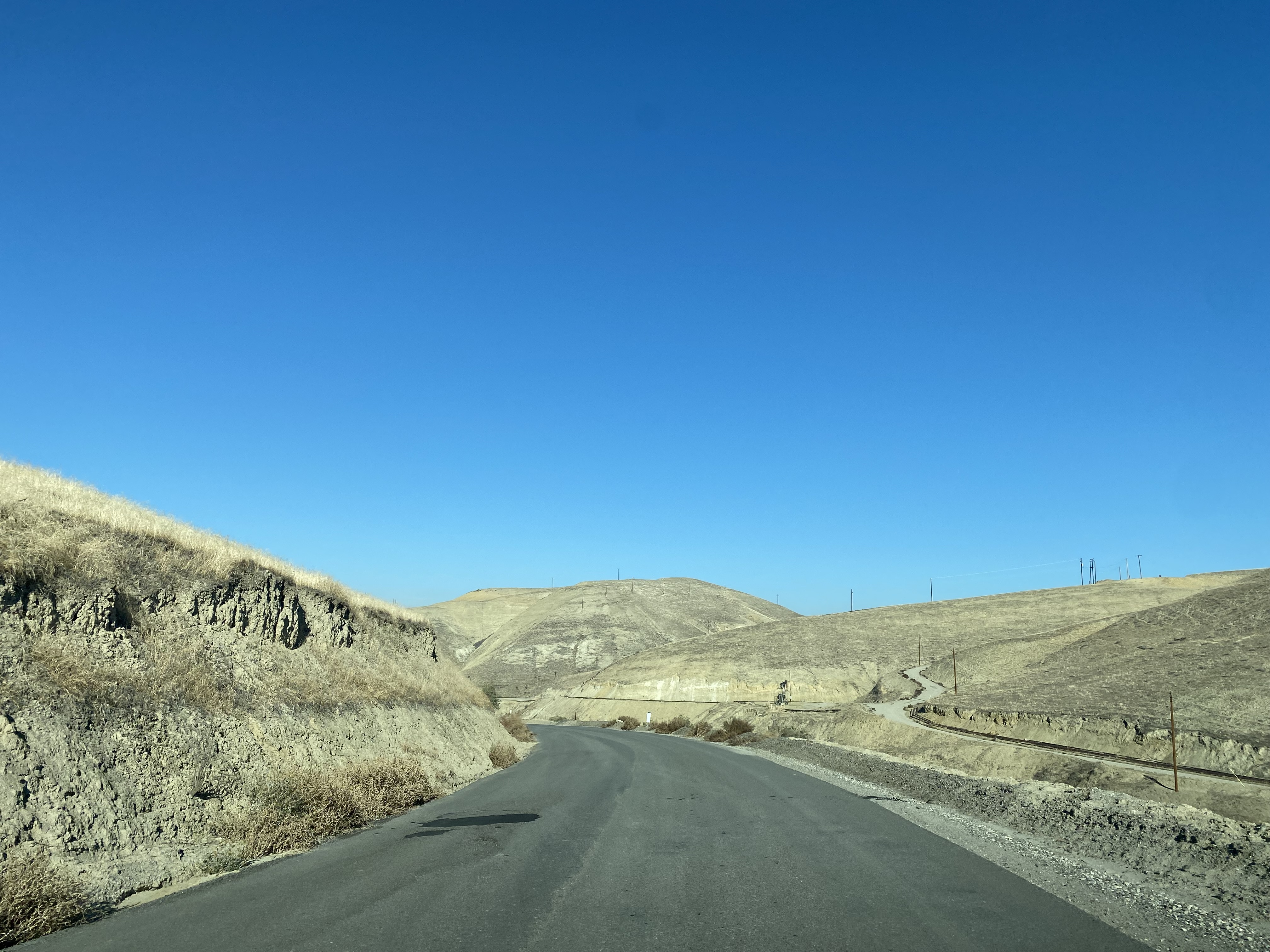
Round Mountain Road initially follows the Kern River eastward and the Oil City to Choctaw Valley as a two-lane roadway. East of Choctaw Valley Road, Round Mountain Road narrows to a wide single-lane roadway.
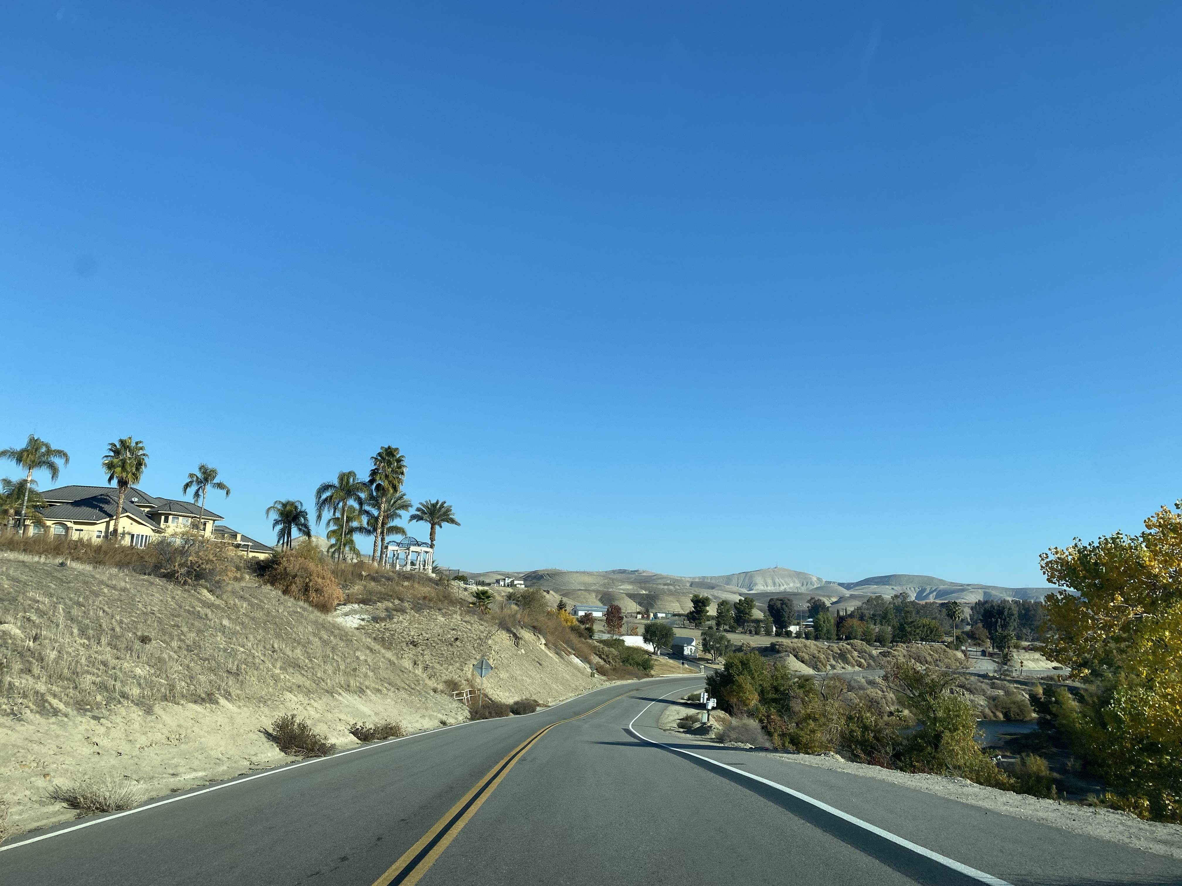
Round Mountain Road turns north from the Kern River and ascends to a bluff overlooking Ming Lake of Hart Memorial Park. Lake Ming was completed during 1959 when Hart Memorial Park reached it's present size.
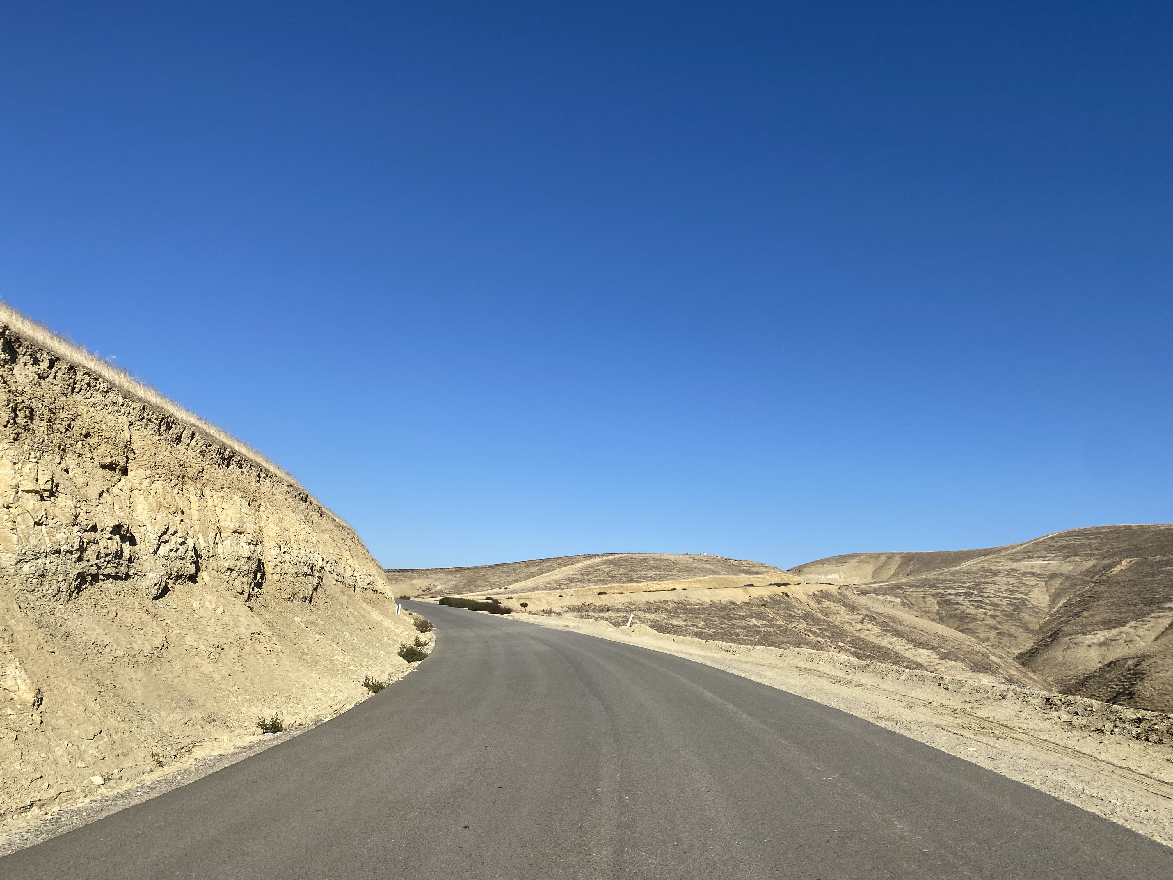
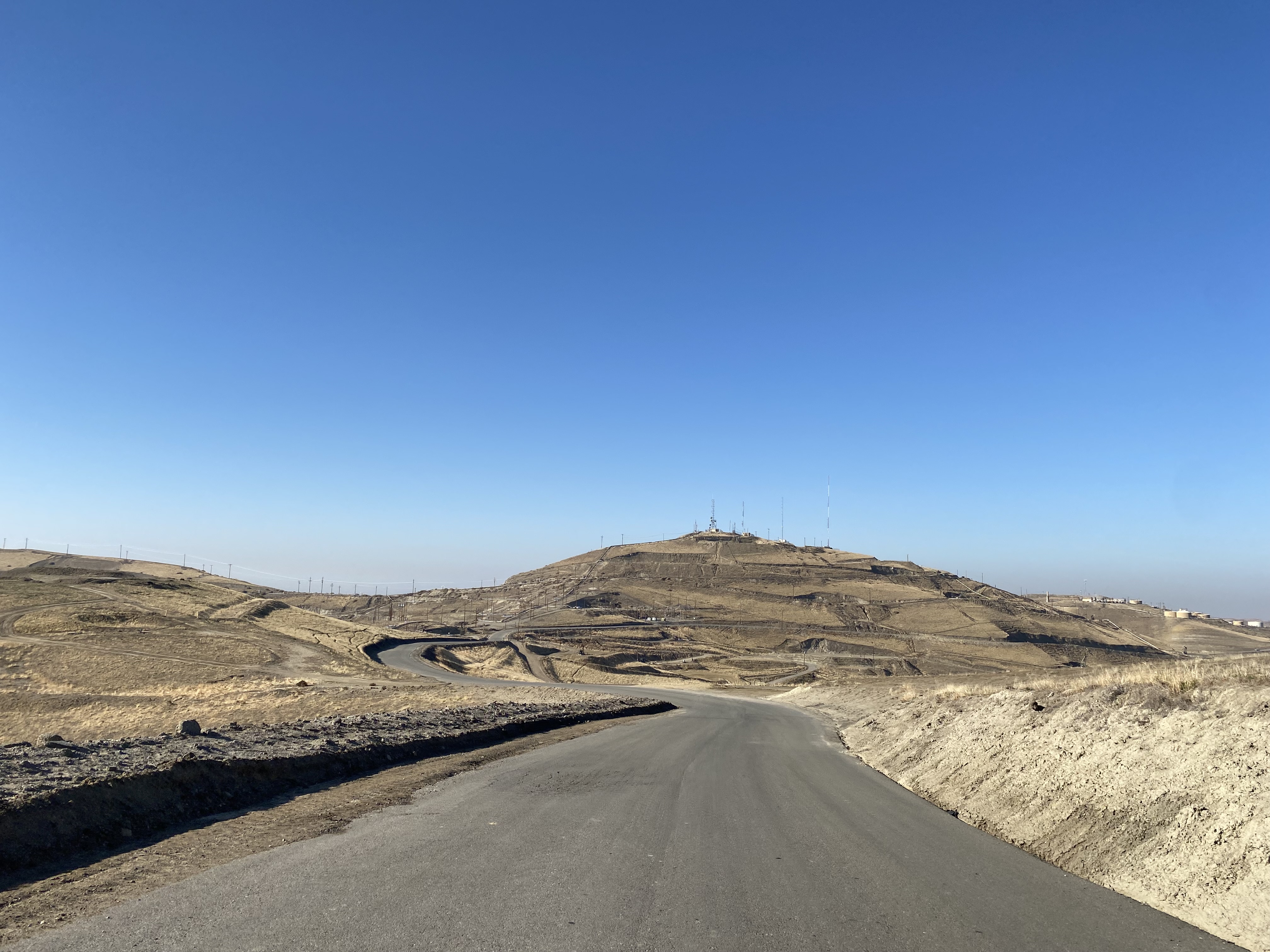
Round Mountain Road ascends to a bluff located at approximately 1,400 feet above sea level and approaches Round Mountain.
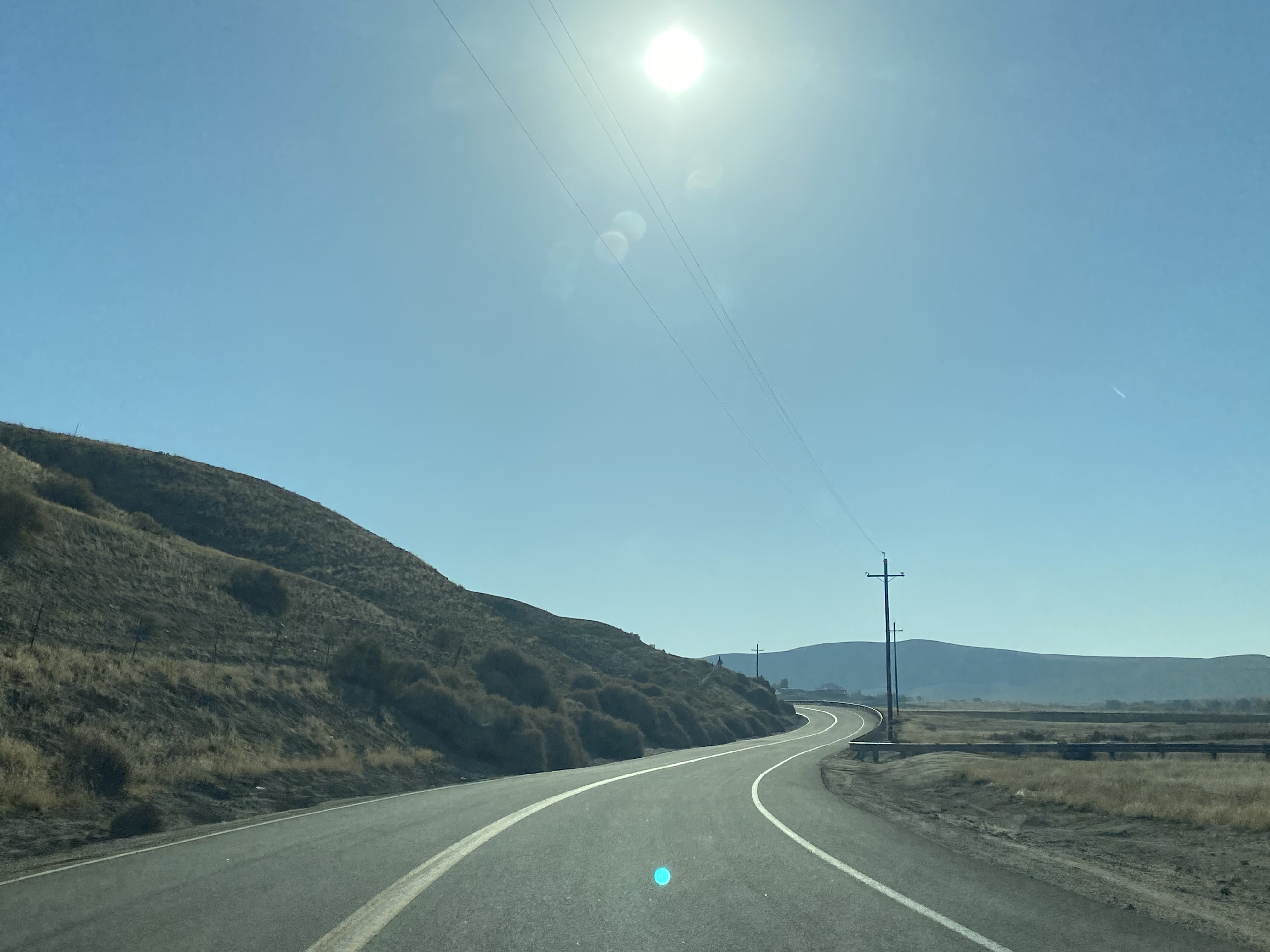
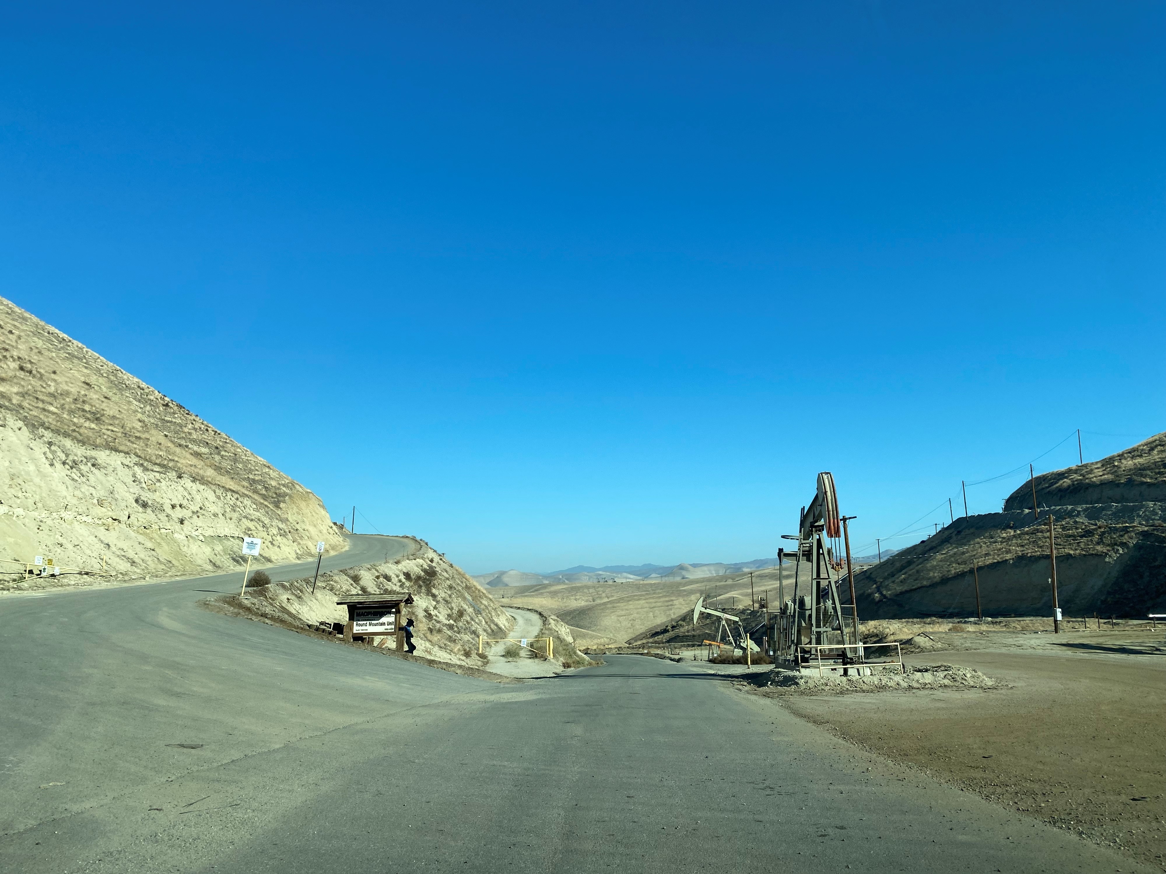
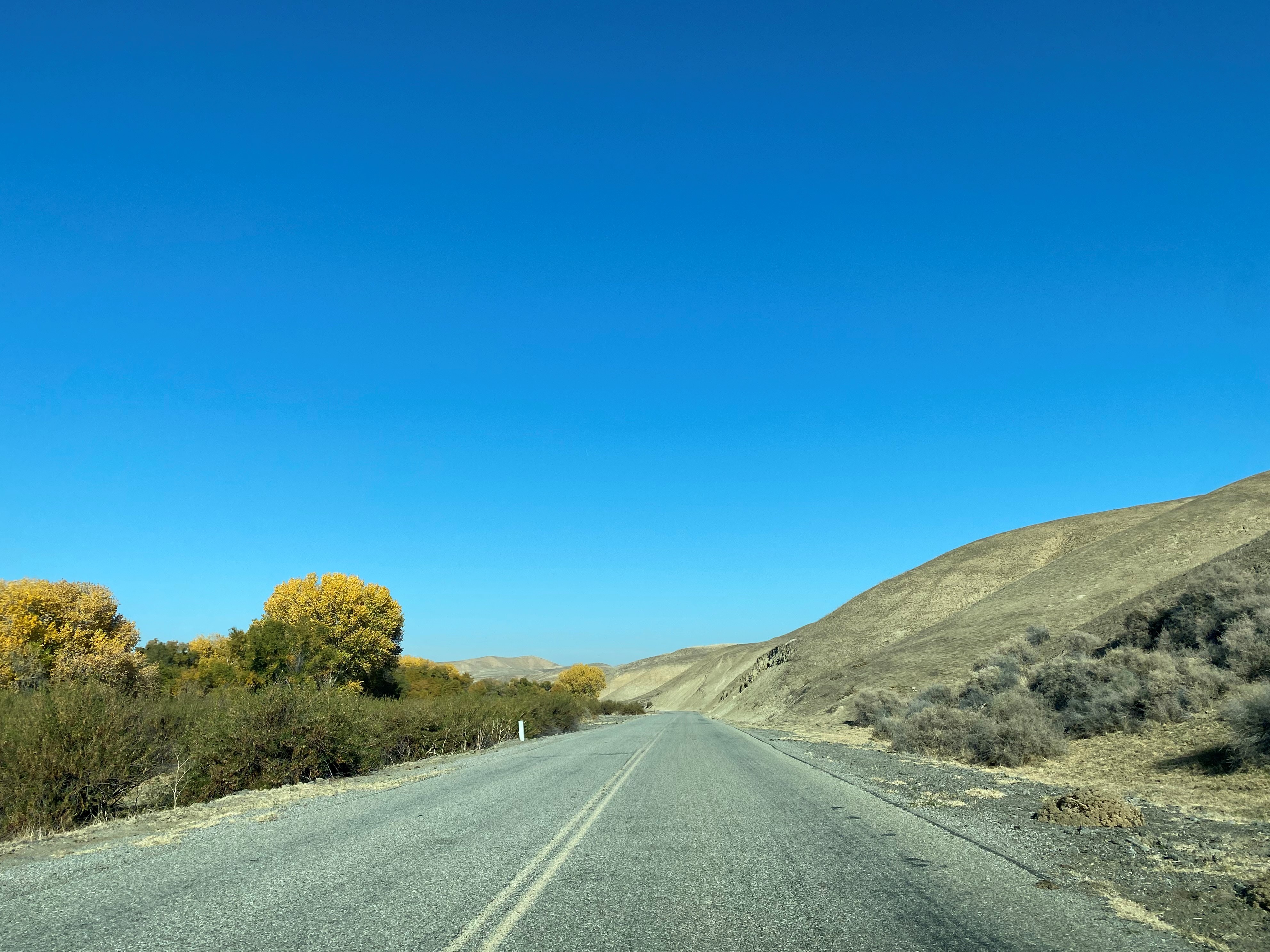
Round Mountain Road descends through the oil wells of the Round Mountain Oil Field to Poso Creek. At Poso Creek the grade of Round Mountain Road expands back to two-lanes.
Round Mountain Road follows Poso Creek to a terminus at Granite Road (former California State Route 155).
A historic plaque pertaining to Posey Station can be found at the intersection of Round Mountain Road and Granite Road. Posey Station was one of six stagecoach stations on the Butterfield Overland Mail Route located in Kern County. Posey Station was located on what is now Round Mountain Road approximately 1.5 miles east of Granite Road along Poso Creek.


















Comments