
Near the village of Klamath in southern Del Norte County, California sits the ruins of Douglas Memorial Bridge which once carried US Route 101 and the Redwood Highway over the Klamath River.
The Douglas Memorial Bridge was a arch concrete span which once crossed the Klamath River. The Douglas Memorial Bridge was noted for it's unique grizzly bear statues which still adorn the remains of the structure. Completed in 1926 the Douglas Memorial Bridge was the original alignment of US Route 101 ("US 101") and stood until it was destroyed by the Christmas Floods of 1964. The Douglas Memorial Bridge is named in honor of G.H. Douglas who was a Assemblyman of the First District of California. Below the Douglas Memorial Bridge can be seen during it's prime (courtesy bridgehunter).

Part 1; the history of the Douglas Memorial Bridge
The history of what would become US 101/Redwood Highway begins with the approval of the 1909 First State Highway Bond Act. The First State Highway Bond Act was approved by voters during 1910 and was the genesis point of some of the most notable highways in California. Legislative Route 1 ("LRN 1") in it's original form was a new State Highway which was designated between San Francisco north to Crescent City. The route of LRN 1 would be extended to the Oregon State Line during the 1919 Third State Highway Bond Act and was known as the Redwood Highway.
The early Redwood Highway/LRN 1 can be seen with a gap at the Requa and the Klamath River on 1917 California State Automobile Association Map.

Prior to the construction of the Douglas Memorial Bridge LRN 1 and the Redwood Highway crossed the Klamath River by way of Ferry from Requa. The Klamath River Ferry in 1925 is featured in an article in the July-August 1964 California Highways & Public Works. Surveys for bridges needed from Crescent City and Arcata were completed by 1924.


A concept drawing for the Douglas Memorial Bridge appears in the August 1924 California Highways & Public Works. The Douglas Memorial Bridge is cited as being at the time the largest bridge ever planned by the Division of Highways.

The September 1924 California Highways & Public Works cites that preliminary construction of the Douglas Memorial Bridge was underway.

The partially constructed Douglas Memorial Bridge appears in false work the November 1925 California Highways & Public Works.

The April 1926 California Highways & Public Works cites that the Douglas Memorial Bridge was to be dedicated on May 17th.

The completed Douglas Memorial Bridge is discussed in the May 1926 California Highways & Public Works along with it's construction history. The Douglas Memorial Bridge is described as the last great gap on the Redwood Highway/LRN 1 being opened to ease of use.


The initial draft of the US Route System was approved by the Secretary
of Agriculture during November of 1925. The US Route System with in
California was approved by California Highway Commission with no changes
recommended by January 1926.
US Route 101 was largely planned to follow the Redwood Highway south
from Crescent City towards San Francisco. The proposed US Route 101 can
be seen in the January 1926 California Highways & Public Works.


During November of 1926 the US Route System was approved by the AASHO which brought US 101 officially into existence. US 101 can be seen aligned on the Redwood Highway over the Douglas Memorial Bridge on the 1927 National Map Company Sectional Map.

US 101 can be seen in detail on the 1935 California Division of Highways Map of Del Norte County. US 101 can be seen crossing the Douglas Memorial Bridge and following what is now Coastal Drive to Humboldt County and Prairie Creek Redwoods State Park.

The January-February 1956 California Highways & Public Works cites significant damage to the Douglas Memorial Bridge and the Village of Klamath during the December 1955 floods of Northern California. The Village of Klamath is cited to have been almost totally destroyed and the northern approach of the Douglas Memorial Bridge washed out.

The March-April 1956 California Highways & Public Works details the saga of reopening the Douglas Memorial Bridge after the December 1955 Floods. The Douglas Memorial Bridge is described as reopening to traffic on January 16th, 1956 but only after the span was repeatedly threatened by additional flooding on the Klamath River.
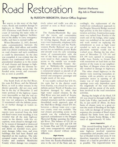


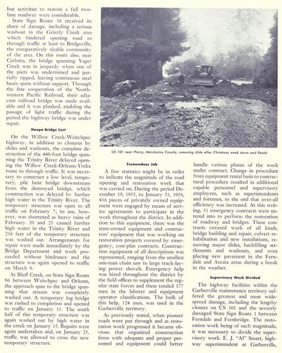
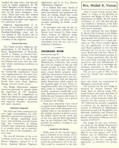
In what ended up being an epic foreshadowing the November-December 1964 California Highways & Public Works discussed the new planned alignment of US 101 bridge over the Klamath River. The Douglas Memorial Bridge is cited as being planned to remain in service for local traffic upon completion of the new Klamath River Bridge. The new Klamath River Bridge was planned to have similar grizzly statues adorned colored in gold.


Likewise the construction of the new Klamath River Bridge and new freeway segment of US 101 are cited in the November-December 1964 California Highways & Public Works as being budged for the 1965-1966 Fiscal Year. The new US 101 freeway is cited beginning 0.9 miles south from the Del Norte County Line in Humboldt County and terminating 0.2 miles north of the planned new junction with CA 169/Klamath River Highway in Klamath.

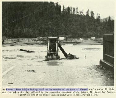
The January-February 1965 California Highways & Public Works details the destruction wrought by the 1964 Christmas Floods in Northern California. The Village of Klamath is described as having it's entire business sector destroyed by the rising waters of the Klamath River. The Douglas Memorial Bridge is described as being swept away by the waters of the Klamath River.


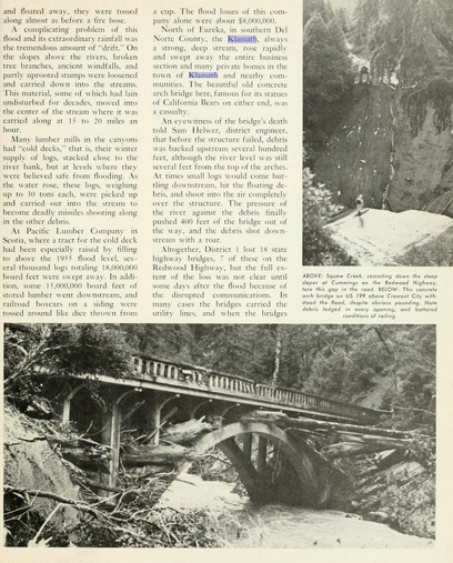


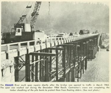
The March-April 1965 California Highways & Public Works discusses the temporary installation of a ferry at the Village of Klamath as a means of allowing US 101 to cross the Klamath River. The Klamath Ferry was described as being makeshift in nature being carried by pontoons and powered by motor boats. The Klamath Ferry was described as being 93 feet in length and capable of carrying 65 tons (with a safe weight limit of 25 tons set). The Douglas Memorial Bridge is citing as being temporarily made functional by way of a pile structure by March 14th, 1965. The Klamath Ferry is cited to have made 5,527 trips across the Klamath River as a temporary bridging measure to carry traffic on US 101.

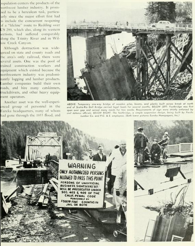


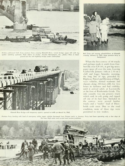


The temporary piling structure used to make the Douglas Memorial Bridge functional.

The Douglas Memorial Bridge as shown in the November-December 1965 California Highways & Public Works.
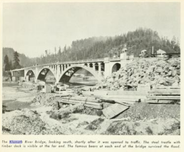
The new alignment of US 101 over the Klamath River along with the new CA 169 interchange in Klamath are described as being complete in the November-December 1966 California Highways and Public Works.

The 1966 Division of Highways Map shows US 101 realigned onto it's new crossing of the Klamath River far inland east of it's original route via Coastal Drive.

Part 2; a drive on Del Norte County Route D8 to the Douglas Memorial Bridge Ruins
The ruins of the southern approach to the Douglas Memorial Bridge can be easily seen via Del Norte County D8 ("D8") on Klamath Beach Road. According CAhighways.org D8 was added as a Sign County Route in 1966 and is 3.98 miles in length.
As modern US 101 southbound crosses the Klamath River the golden grizzly statues noted above can be seen.

US 101 south Exit 768 accesses D8/Klamath Beach Road. Note; Klamath Beach Road presently does not have any D8 shields posted.


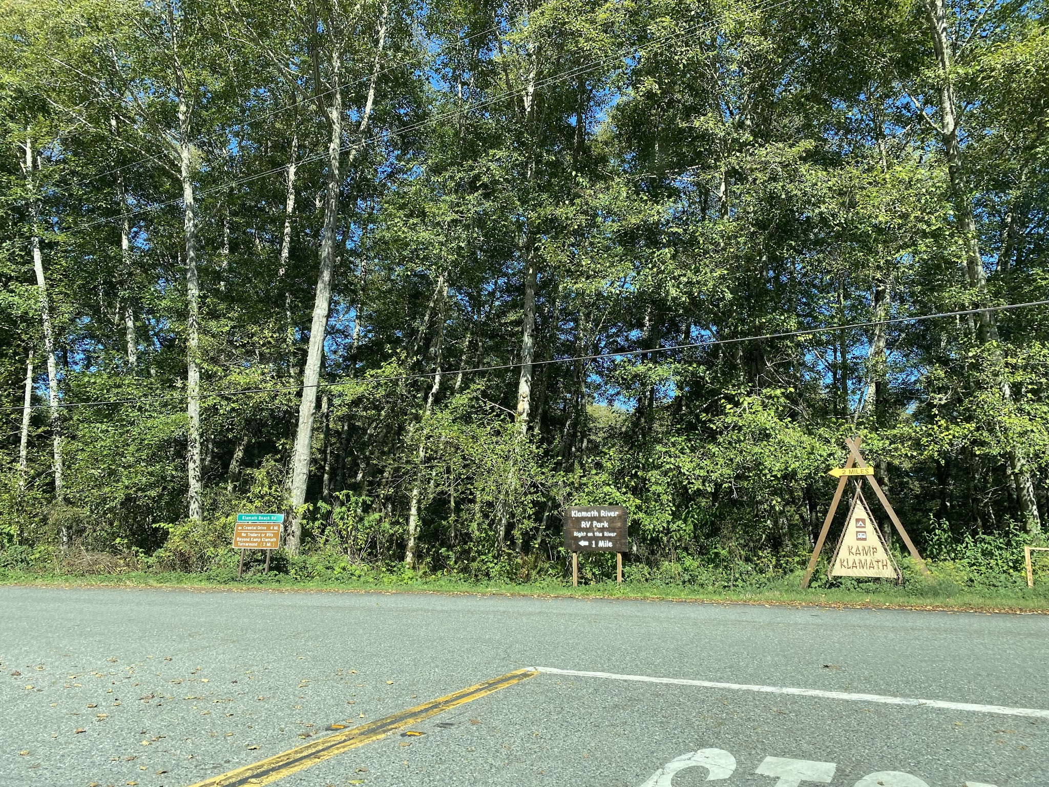
D8/Klamath Beach Road travels northwest following the course of the Klamath River into the boundary of Redwood National Park.


As D8/Klamath Beach Road intersects Old US 101/Coastal Drive the remains the Douglas Memorial Bridge can be found on the Klamath River.


The signature bear statues of the southern approach of the Douglas Memorial Bridge remain and appear to be in a decent state of repair.


This photo below shows where the bridge identifier placcard, US 101 shield, and historic plaque would have been located next to the right bear statue on the Douglas Memorial Bridge (courtesy bridgehunter.com).

A look across the Klamath River where the rest of the Douglas Memorial Bridge once stood. The remains of Old US 101 on the north bank of the Klamath River can be seen in the clearing ahead. What was once US 101 in Klamath is now known as Alder Camp Road.

A 1952 postcard featuring US 101 in downtown Klamath on what is now Alder Camp Road.

For comparison sake this drawing below depicts how US 101 entered Klamath via the Douglas Memorial Bridge versus it's 1966 replacement.

The National Park Service has a historical information station displaying an abridged version of the history of the Douglas Memorial Bridge.

A look towards Coastal Drive on what would have been the original US 101.

Comments