
California State Route 263 ("CA 263") is an 8 mile north/south State Highway contained entirely in Siskiyou County. CA 263 originates at CA 3 in the City of Yreka and follows the Shasta River Canyon north to a terminus at CA 96 at the confluence of the Shasta River and Klamath River. As noted above CA 263 was formerly a piece of US Route 99 ("US 99") which was completed in 1931.

Part 1; the history of US Route 99 and California State Route 263 in the Shasta River Canyon
The era of State Highways in the Shasta River Canyon began with the 1909 First State Highway Bond Act which was approved by voters in 1910. One of the early Legislative Routes was a highway between the Oregon State Line south to the City of Sacramento. In time this highway would come to be known as Legislative Route 3 ("LRN 3"). By 1913 LRN 3 in it's entirety would be signed as part of the Auto Trail known as the Pacific Highway. Early LRN 3 near the Oregon State Line south through the Shasta River Canyon to Yreka on the 1917 California State Automobile Association map. LRN 3 can be been aligned on what is now Anderson Grade Road which is partially now buried under Interstate 5 (I-5) atop the eastern rim of the Shasta River Canyon.

Anderson Grade Road was part of the Oregon-California Trail which connected the Oregon State Line south to the mines of Yreka. From Yreka the Oregon-California Trail continued south into Scott Valley. Anderson Grade Road be seen on a topographical map (courtesy Kevin Walsh of the Map Scans Facebook Group) published in the 1890s. Anderson Grade Road skirted the eastern rim of the Shasta River Canyon which required only single crossings of the Shasta River and Klamath River.

The 1909 San Francisco Motor Club Map of the Yreka Area (courtesy Kevin Walsh of the Map Scans Facebook group) shows two routes from Yreka north towards the State Line. The primary highway north of Yreka is shown to follow what is now Yreka-Ager Road and much of Siskiyou County Route A28 towards Hornbrook. The secondary road is shown to follow what is now Anderson Grade Road from Yreka towards Hornbrook.

The 1912 California State Automobile Map (courtesy Kevin Walsh of the Map Scans Facebook group) only shows present Yreka-Montague Road and Siskiyou County Route A28 as a highway between Yreka-Hornbrook.

What is now known as Old Shasta River Road appears in July 1914 California Highway Bulletin as part of a survey for construction/relocation of LRN 3 north of Yreka to the Oregon State Line.

A photo from a reconnaissance survey of the Shasta River Canyon can be seen in the July 1914 California Highway Bulletin.

The same survey above also appears in July 1915 California Highway Bulletin.

The July 1916 California Highway Bulletin shows LRN 3to be graded north of Yreka through the Shasta River Canyon north to the Oregon State Line. It is not fully clear what the exact time frame was for the relocation of LRN 3/Pacific Highway onto Old Shasta River Road but it appears not have been conveyed to the CSAA by 1917.


The Pacific Highway can be seen aligned on LRN 3 from the Oregon State Line south through the Shasta River Canyon towards Redding on the 1920 Clason Highway Map of California.

The Pacific Highway and National Park-to-Park Highway can be seen co-signed on LRN 3 from the Oregon State Line south through the Shasta River Canyon to Yreka on the 1924 Rand McNally Auto Trail Map of the West Coast.


In the January 1926 California Highways & Public Works the California Highway Commission's approval of
the anticipated US Route System is discussed. US Route 99 is cited to be a planned
signed route from the Oregon State line south to El Centro. US Route 99 was to be a replacement of the Pacific Highway and was planned to be aligned over LRN 3 from the Oregon State Line south through the Shasta River Canyon to Yreka.


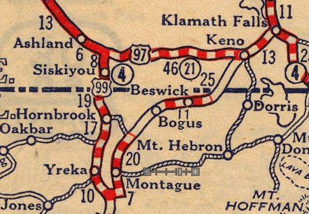
The US Route System was approved by the AASHO on November 11th, 1926. This in turn was the official starting point for the existence of US Route 99. US Route 99 can be seen plotted between the Oregon State Line through the Shasta River Canyon to and Yreka on the 1927 Rand McNally Map of California.
The March 1932 California Highways & Public Works discusses a new alignment of US 99/LRN 3 in the Shasta River Canyon. The new alignment of US 99/LRN 3 consisted of a 4.5 mile segment of straightened highway which included five new bridges. The new alignment of US 99/LRN 3 ended at the the confluence of the Shasta River and Klamath River. The new US 99/LRN 3 alignment is compared to Old Shasta River Road in the article titled; "New Scenic Shasta Gorge Highway Boasts 5 Major Bridges in 4.5 miles." The new grade of US 99/LRN 3 is cited to be 7.46 miles compared to 9.36 miles on Old Shasta River Road. The new maximum grade of US 99/LRN 3 is shown to be reduced to 4.14% compared to 7% on Old Shasta River Road. The new alignment of US 99/LRN 3 in the Shasta River Canyon was built from 1928 through 1931.


US 99/LRN 3 in the Shasta River Canyon can be seen in detail on the 1935 California Division of Highways Map of Siskiyou County.

During the 1964 State Highway Renumbering US 99 from the Oregon State Line through the Shasta River Canyon to Yreka was legislatively changed to Route 5 in anticipation of I-5 being built. This legislative change can be first observed on the 1964 Division of Highways State Map.


The first CA 263 was defined by 1965 Legislative Chapter 1401 as a highway running from CA 96 at the confluence of the Shasta River and Klamath River north over US 99 to I-5. The same legislation extended CA 96 through the Shasta River Canyon via US 99 through Yreka to I-5. These legislative changes along with the planned route of I-5 bypassing the Shasta River Canyon can be seen on the 1966 Division of Highways State Map. It is likely CA 96 was never signed through the Shasta River Canyon nor the first iteration of CA 263.


CA 96 in the Shasta River Canyon and the first CA 263 appear on the 1967 Division of Highways State Map as stand alone highways as US 99 had been eliminated from California. It is likely both routes were probably both signed as Temporary I-5.

1968 Legislative Chapter 282 swapped CA 96 in the Shasta River Canyon with the first CA 263. The second CA 263 thusly was given a definition of; Route 96 near the confluence of the Shasta and Klamath Rivers southwesterly to Route 5 near the north city limit of Yreka. The change to CA 96 along with the second/current CA 263 in the Shasta River Canyon first appear on the 1970 Division of Highways State Map.

Note; as defined in 1968 the second CA 263 multiplexed CA 3 east of downtown Yreka to I-5. 1976 Legislative Chapter 1354 truncated CA 263 to CA 3 in Yreka. In 2018 the California Transportation Commission approved funding for a replacement of the Klamath River Bridge at the north terminus of CA 263. Construction of a new Klamath River Bridge began in Spring of 2019 and is slated to be complete by November 2021.
Part 2; a drive on the current California State Route 263 and the 1965 original
Present CA 263 begins in the City of Yreka as CA 3/Montague Road ends at Main Street. A southward turn onto Main Street carries CA 3 through downtown Yreka whereas a right hand turn on Main Street is the beginning of northbound CA 263.

Approaching Hawkinsville CA 263 is signed the State of Jefferson Scenic Byway. The State of Jefferson Scenic Byway is a 108 mile auto touring route which includes; all of CA 263, CA 96 to Greyback Road, Greyback to the Oregon State Line, Greyback Road in Oregon, and Waldo Road to US 199 in O'Brien. The State of Jeffereson refers to a 1941 movement to create a new State out of much of Northern California and Southern Oregon.


CA 263 carries a 40 ton weight limit within the Shasta River Canyon.
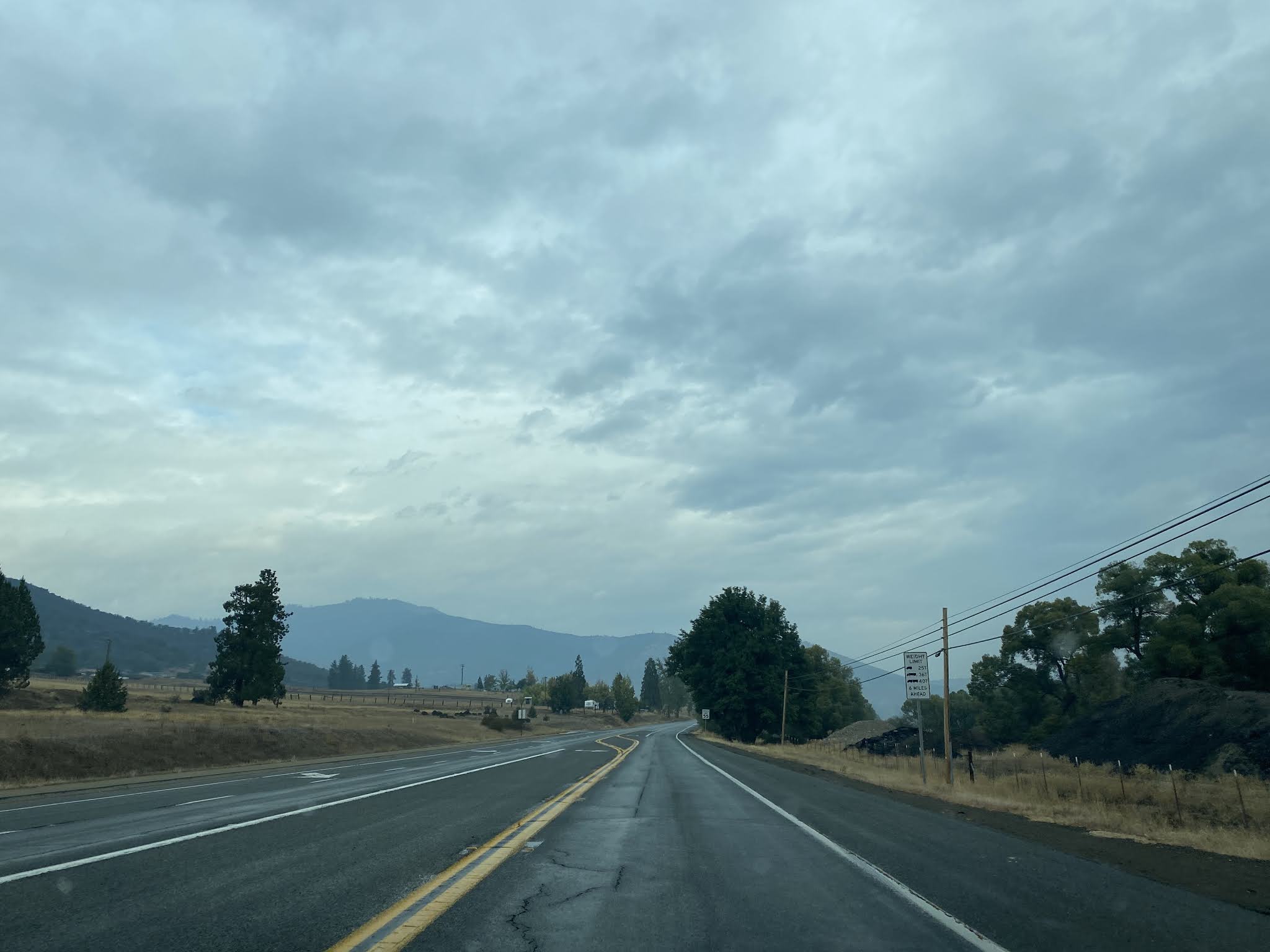
At Postmile SIS 52.322 (CA 263's mileage is inherited from Route 5/US 99) CA 263 passes by Old Shasta River Road. At Postmile SIS 52.65 CA 263 crosses the 1928 Shasta River Bridge.
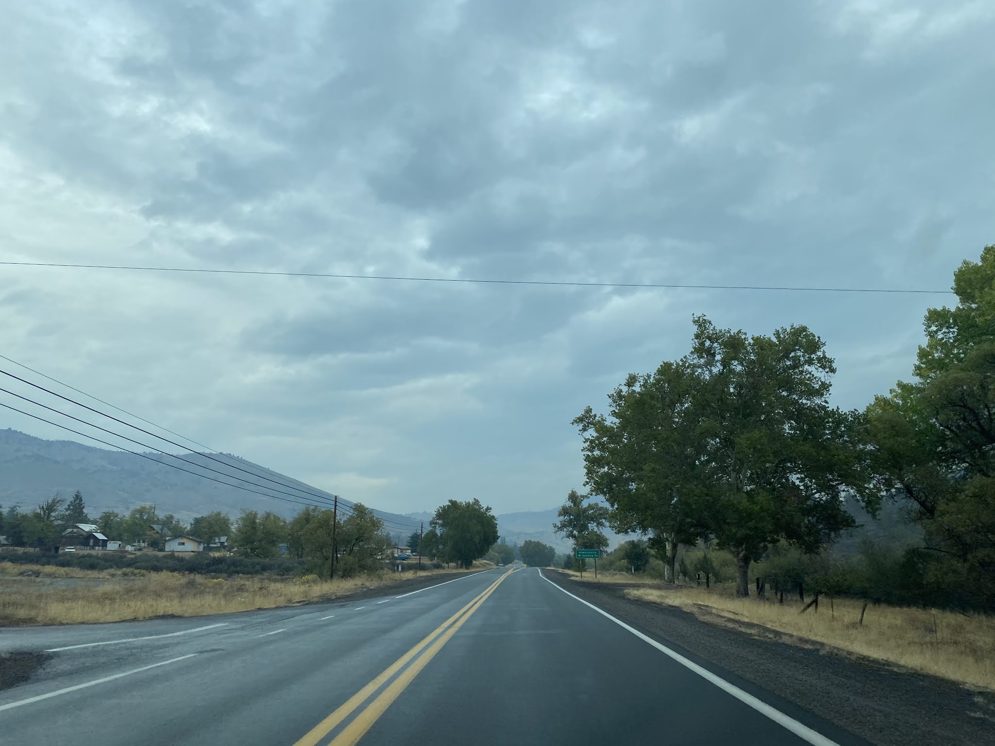


CA 263 enters the Shasta River Canyon. From pullouts on CA 263 one can easily observe the 1931 US 99/LRN 3 alignment compared to Old Shasta River Road.


At Postmile SIS 54.541 CA 263 crosses the 1929 Dry Gulch Bridge.


At Postmile SIS 55.03 CA 263 crosses the 1931 Pioneer Bridge.


CA 263 winds through the Shasta River Canyon to the 1931 Shasta River Bridge at Postmile SIS 56.35.


CA 263 continues northbound and crosses the 1931 Klamath Bridge where it terminates at CA 96. The new Klamath River Bridge can be seen being constructed next to the 1931 structure.

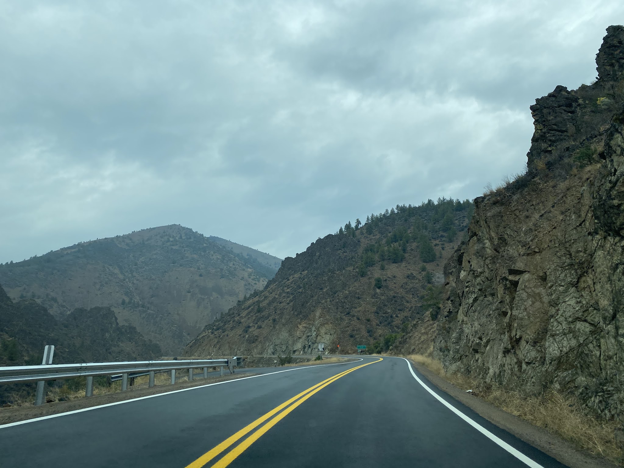


The original CA 263 begins where the current highway now ends at CA 96. The original CA 263 was slightly under 2.5 miles in length and simply followed what was US 99 north along the Klamath River to I-5.


Comments