

Part 1; the history of the California State Route 243 and the Banning-Idyllwild Panoramic Highway
The current California State Route 243 (CA 243) is the second highway to carry the numbering designation. The original CA 243 was a reassignment of what had been Legislative Route Number 170 (LRN 170) and during the 1964 State Highway Renumbering. LRN 170 was added to the State Highway System in 1933 and the segment that was to be the first CA 243 was added as a highway between US Route 99-60-70/LRN 26 north to US Route 66/LRN 9 in 1959 according to CAhighways. The unbuilt segment of LRN 170 between US Route 99-60-70/LRN 26 north to US Route 66/LRN 9 can be seen on the 1960 Division of Highways State Map.

On the 1964 Division of Highways State Map the unbuilt segment of LRN 170 is shown to be reassigned as the first CA 243.

The first CA 243 was intended to be a freeway between Interstate 10 north to Interstate 210 near Duarte. In 1968 the original CA 243 was transferred as a new segment planned Interstate 605. What had been the first CA 243 can be seen transferred to the Interstate 605 as an unbuilt segment on the 1969 Division of Highways Map.

Construction of the Banning-Idyllwild Panoramic Highway began during 1904 and was completed as an oiled highway by September 1910 (citation: the September 11th, 1910, Los Angeles Times). The completed Banning-Idyllwild Panoramic Highway can be seen on the 1917 California State Automobile Association Map. Banning-Idyllwild Panoramic Highway connected Banning via San Bernardino National Forest to the community of Idyllwild. From Idyllwild the alignment of Banning-Idyllwild Panoramic Highway can be seen tracking westward to Hemet.

Banning-Idyllwild Highway would become part of the National Forest Highway System in 1927 (citation: the May 17th, 1927, Los Angeles Times) due to it being the primary highway through the San Jacinto Mountains. The May/June 1927 California Highways & Public Works references $25,000 dollars being allocated by the U.S. Secretary of Agriculture to reconstruct the Idyllwild-Hemet segment of Banning-Idyllwild Panoramic Highway.

The Idyllwild-Hemet portion of the Banning-Idyllwild Panoramic Highway was repurposed as part of the Pines to Palms Highway. What became the Pines to Palms Highway was constructed in a joint project by Riverside County and the National Forest Service in the 1920s. The Pines to Palms Highway was officially designated by Riverside County in 1930 according to a desertsun.com article. The Pines to Palms Highway opening ceremony was held on June 18th, 1932, according to the July 1932 California Highways & Public Works.

During 1933 the segment of Banning-Idyllwild Panoramic Highway between Idyllwild-Hemet was added to the State Highway System as a segment of LRN 64. During August 1934 the Idyllwild-Hemet portion of LRN 64 was announced as part of CA 740. The 1934 California Highways & Public Works announced CA 74 as a highway running from US 101 near San Juan Capistrano east on the Ortega Highway to CA 740 in Perris. CA 740 was added as a Signed State Route from US Route 60 in Riverside east to CA 111 in Coachella Valley via the Pines to Palms Highway. It is unclear when the Pines to Palms Highway was reassigned as CA 74, but the designation first appears on the 1938 Division of Highways Map.


Banning-Idyllwild Panoramic Highway was reconstructed to higher standards during 1935 (citation: the January 27th, 1935, Los Angeles Times) and appears as major county highway on the 1935 Division of Highways Riverside County Map..

Paving of Banning-Idyllwild Panoramic Highway would begin during 1950 (citation: the July 14th, 1950, Los Angeles Times). At some point between 1964-66 the entirety of Banning-Idyllwild Panoramic Highway was designated as Riverside County Route R1. Banning-Idyllwild Panoramic Highway as Riverside County Route R1 can be seen displayed on the 1966 Gousha Highway Map of California.

The current iteration of CA 243 was applied to Banning-Idyllwild Panoramic Highway by 1970 Legislative Chapter 1473. The legislative definition of CA 243 was defined as "Route 74 near Route 10 near Banning." The second CA 243 can be seen on the 1975 Caltrans State Highway Map.

Part 2; a drive on California State Route 243 and Banning-Idyllwild Panoramic Highway
From Interstate 10 in Banning one can access southbound CA 243 via 8th Street.

Part 2; a drive on California State Route 243 and Banning-Idyllwild Panoramic Highway
From Interstate 10 in Banning one can access southbound CA 243 via 8th Street.


From 8th Street Idyllwild is signed as 26 miles to the south on CA 243.


CA 243 makes a left hand turn onto Lincoln Street towards San Gorgonio Avenue at Post Mile RIV 28.979.


Traffic on CA 243 makes a right hand turn onto San Gorgonio Avenue and is immediately advised against taking 30 foot or longer vehicles any further.

Departing Banning CA 243 southbound transitions onto Banning-Idyllwild Panoramic Highway.


Entering the San Jacinto Mountains CA 243 is signed as Esperanza Fighters Memorial Highway.


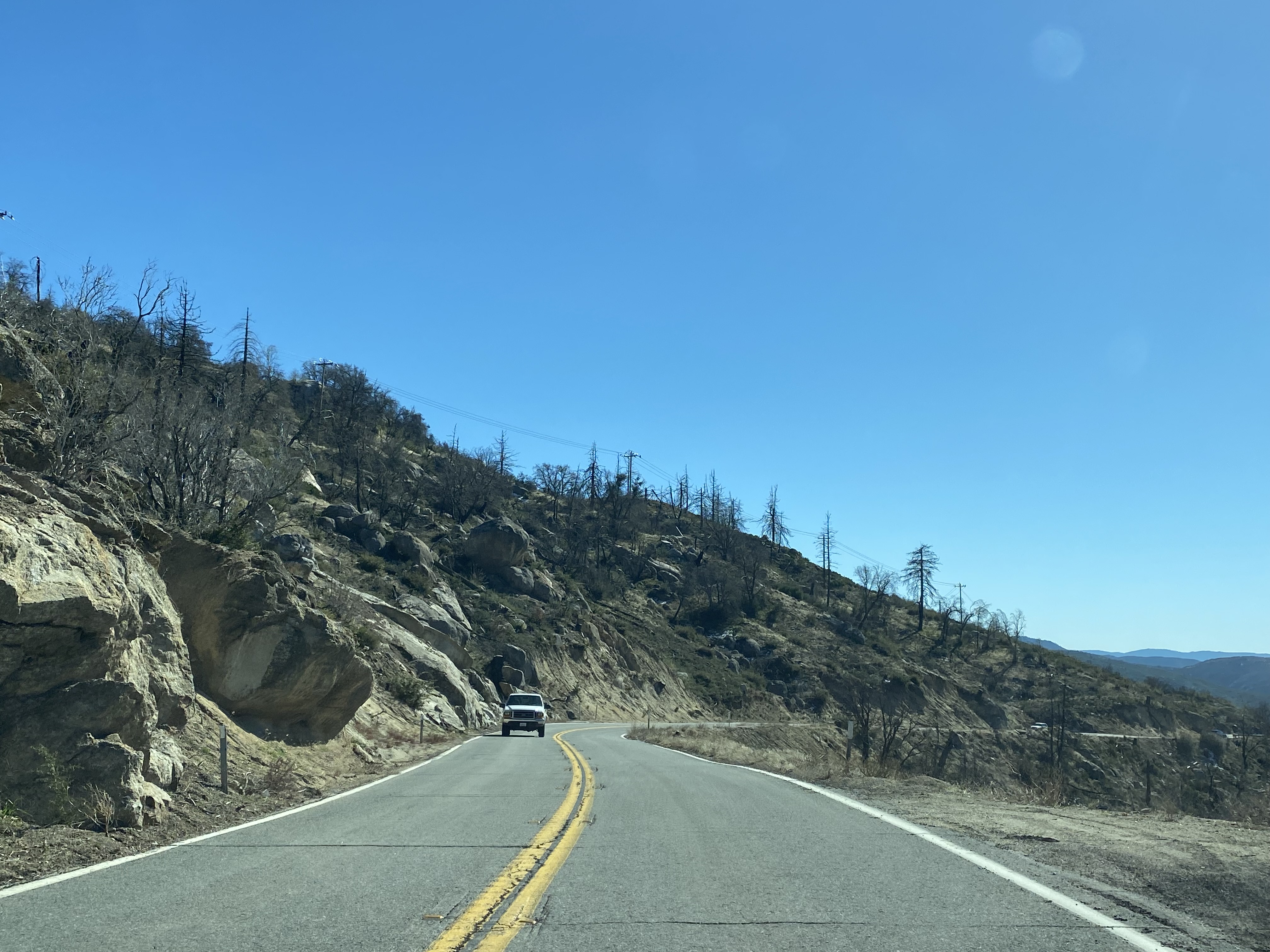
CA 243 southbound begins to ascend into the San Jacinto Mountains via Banning-Idyllwild Panoramic Highway. Even the lower elevation pull outs provide a commanding view of Banning, Cabazon, San Gorgonio Pass and the San Bernardino Mountains.


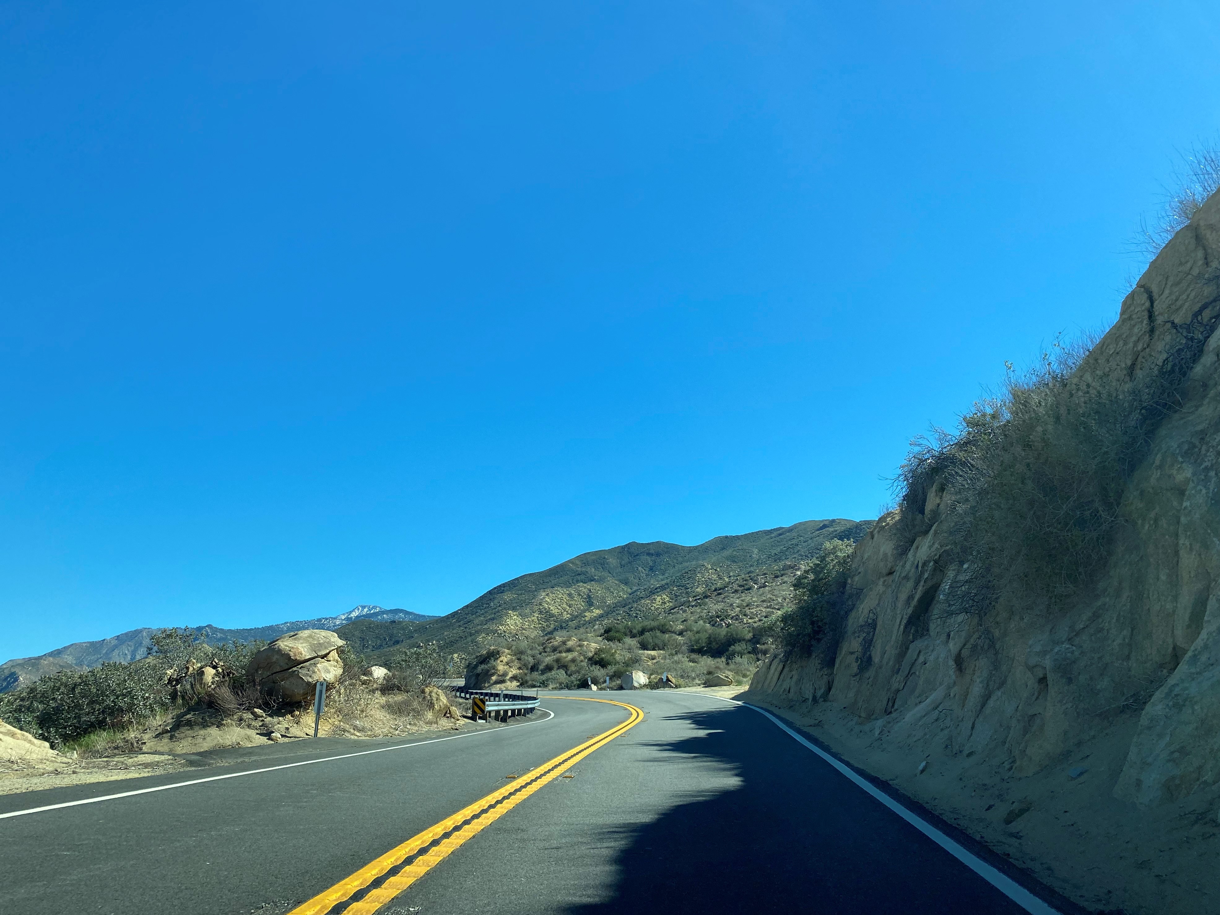


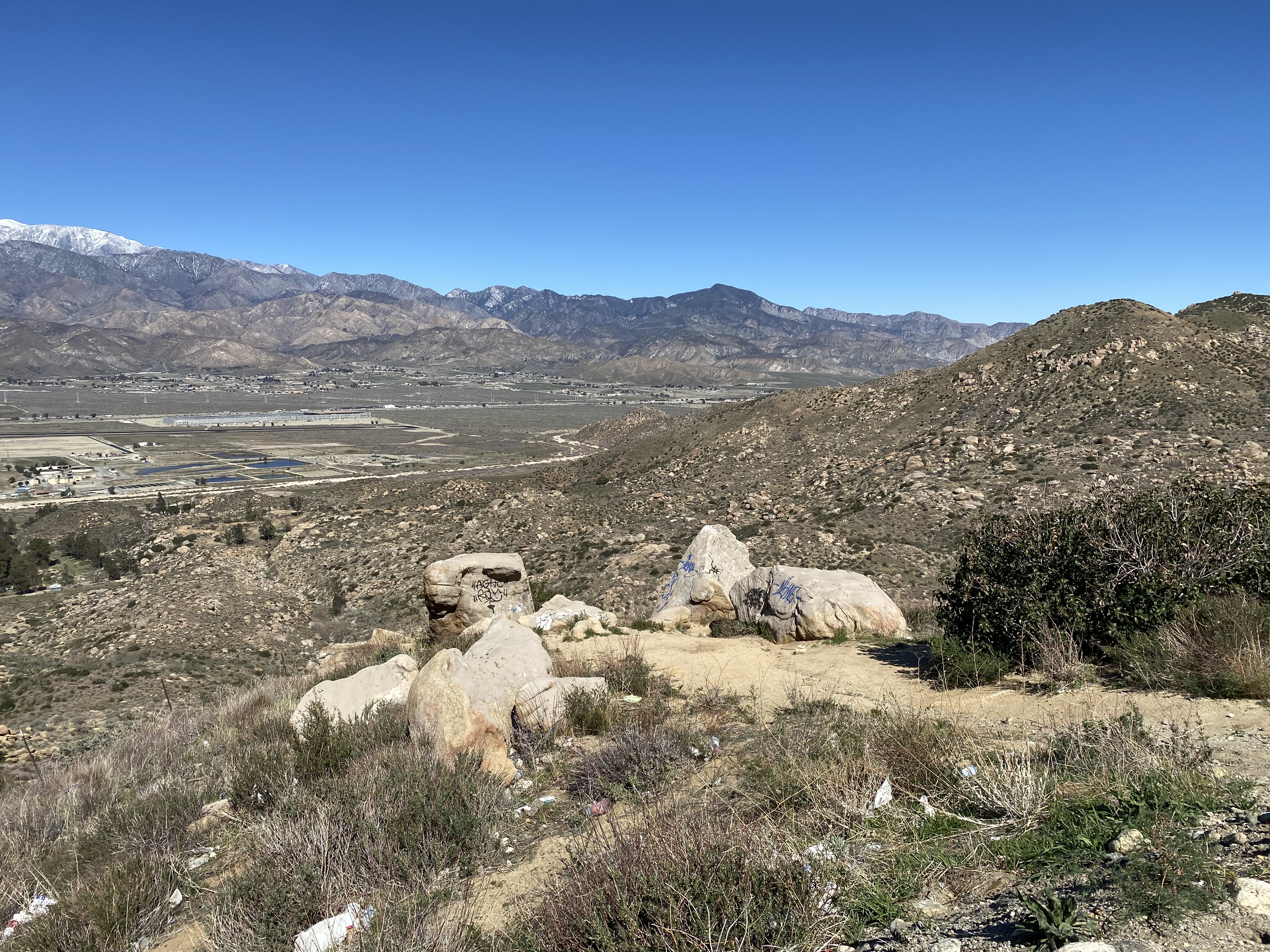

CA 243 southbound climbs above 3,000 feet above sea level after the first major switchback.

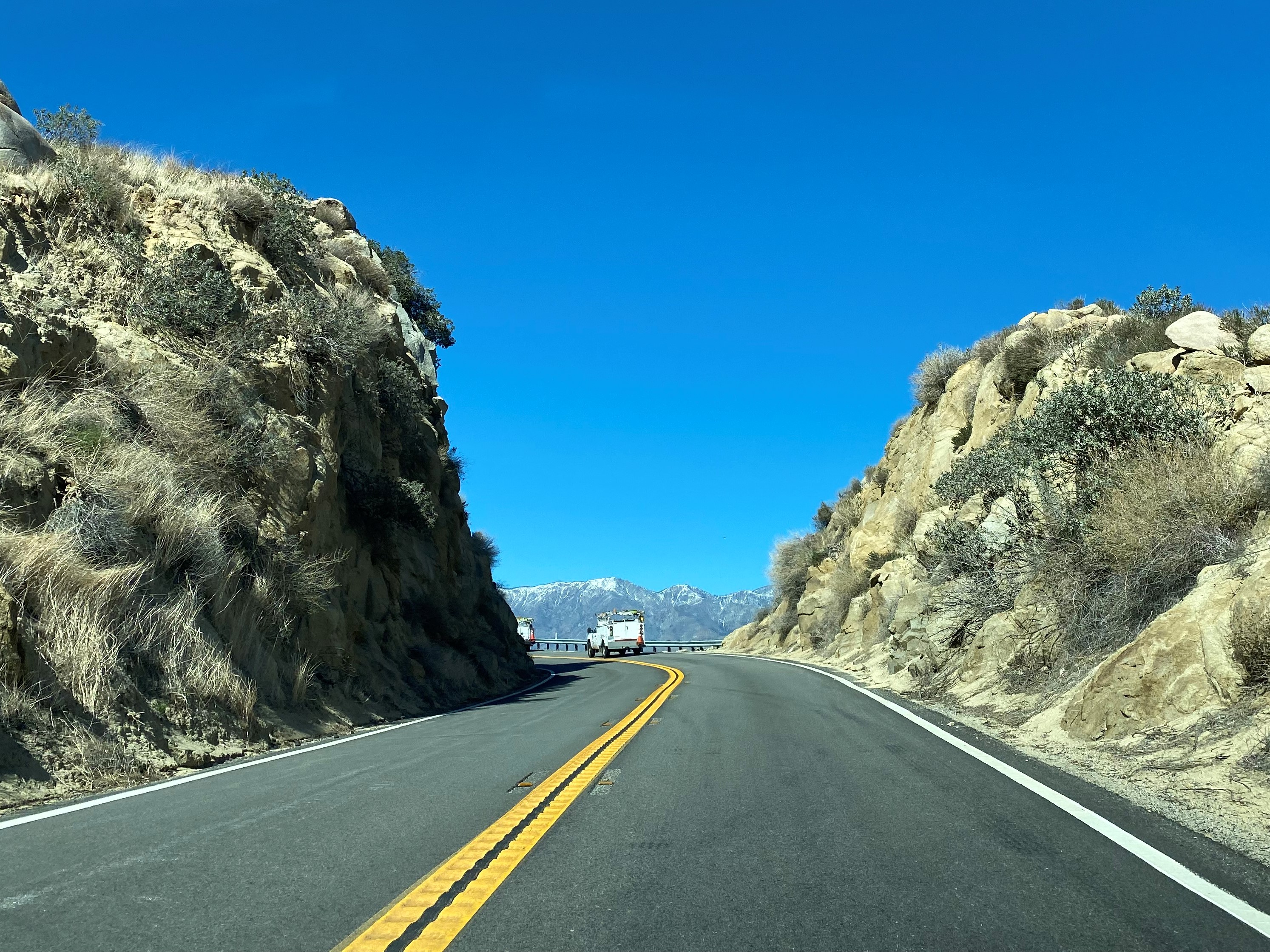


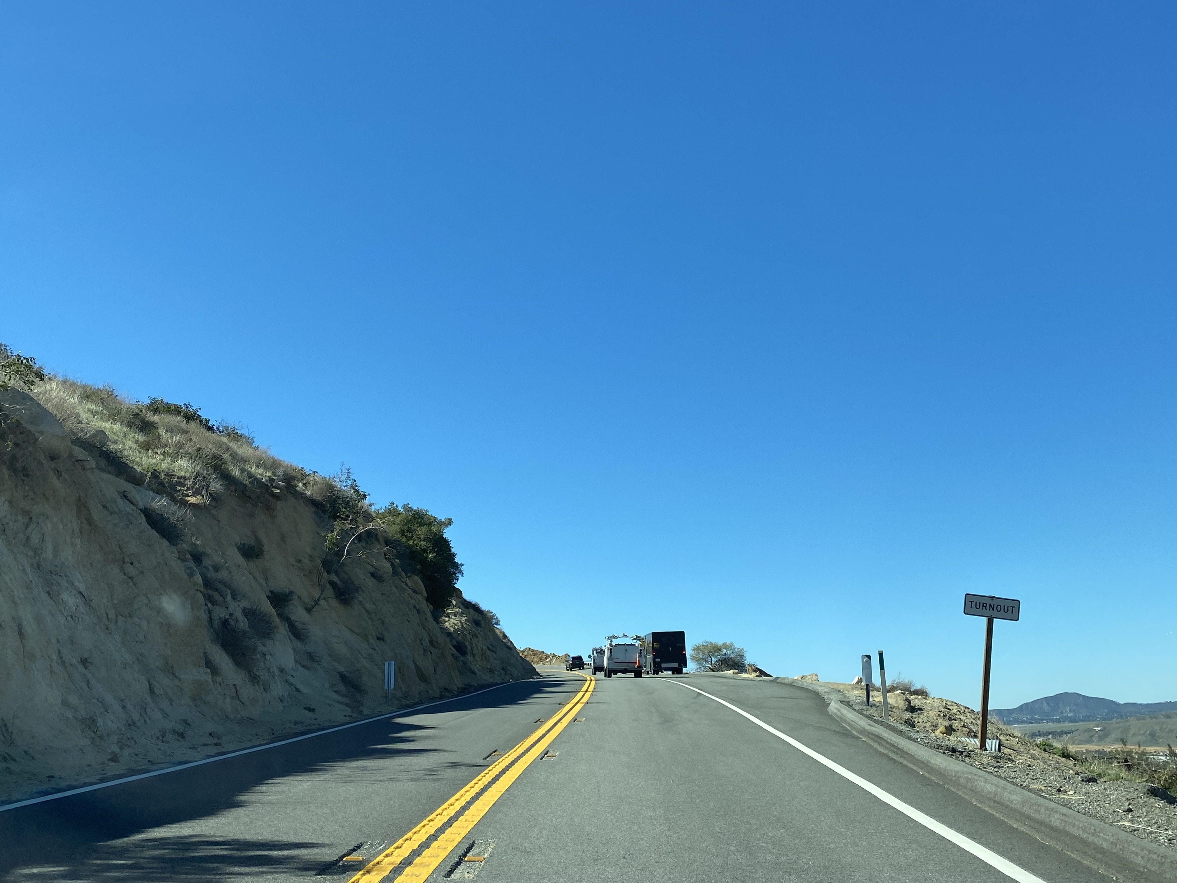

CA 243 passes through another switchback and climbs to another vista of the San Gorgonio Pass area.


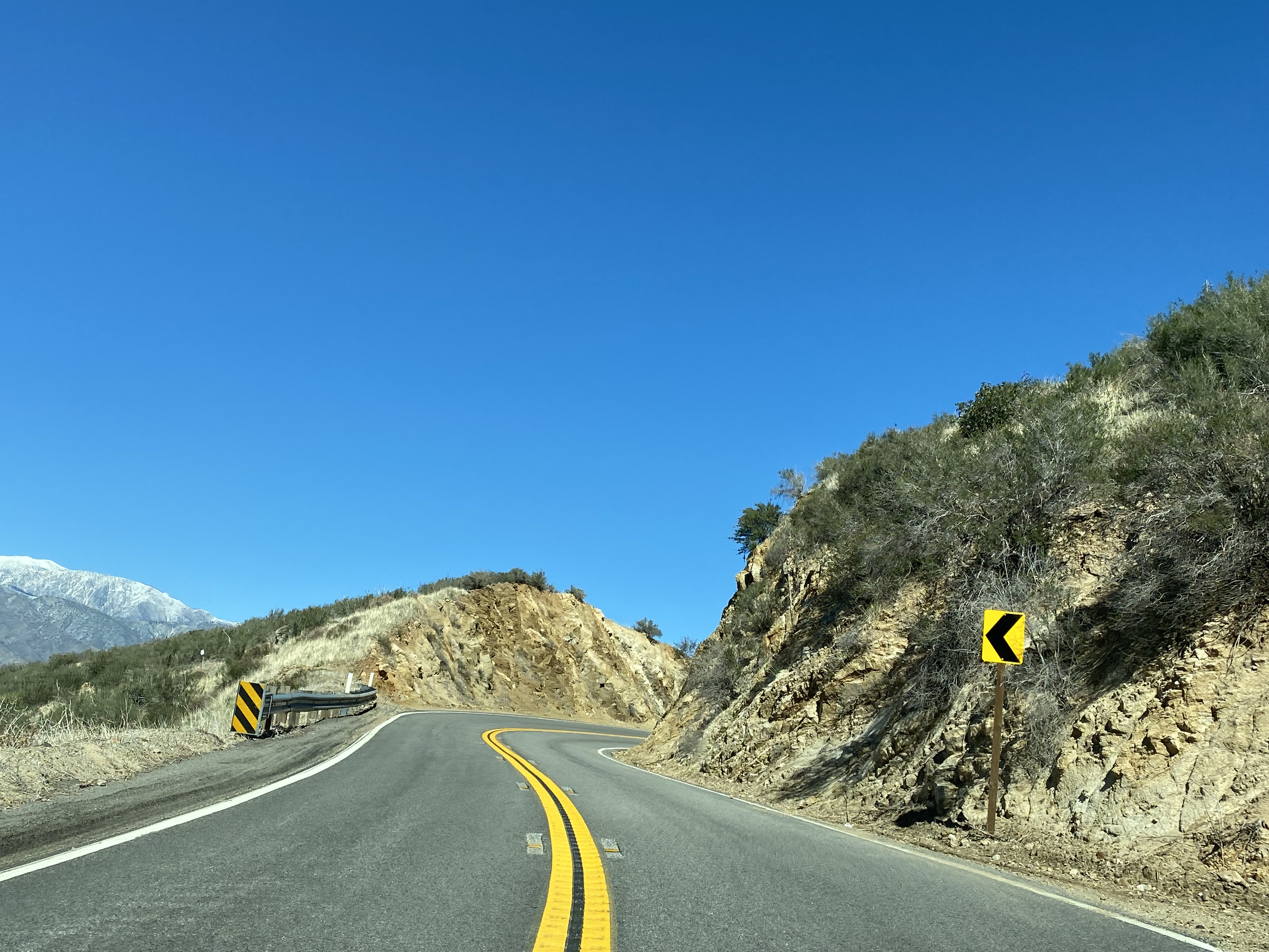


Approaching Postmile RIV 21.80 CA 243 southbound climbs to 4,000 feet in elevation.


At approximately Postmile RIV 20.00 CA 243 southbound enters San Bernardino National Forest.


CA 243 southbound climbs above 5,000 feet above sea level.
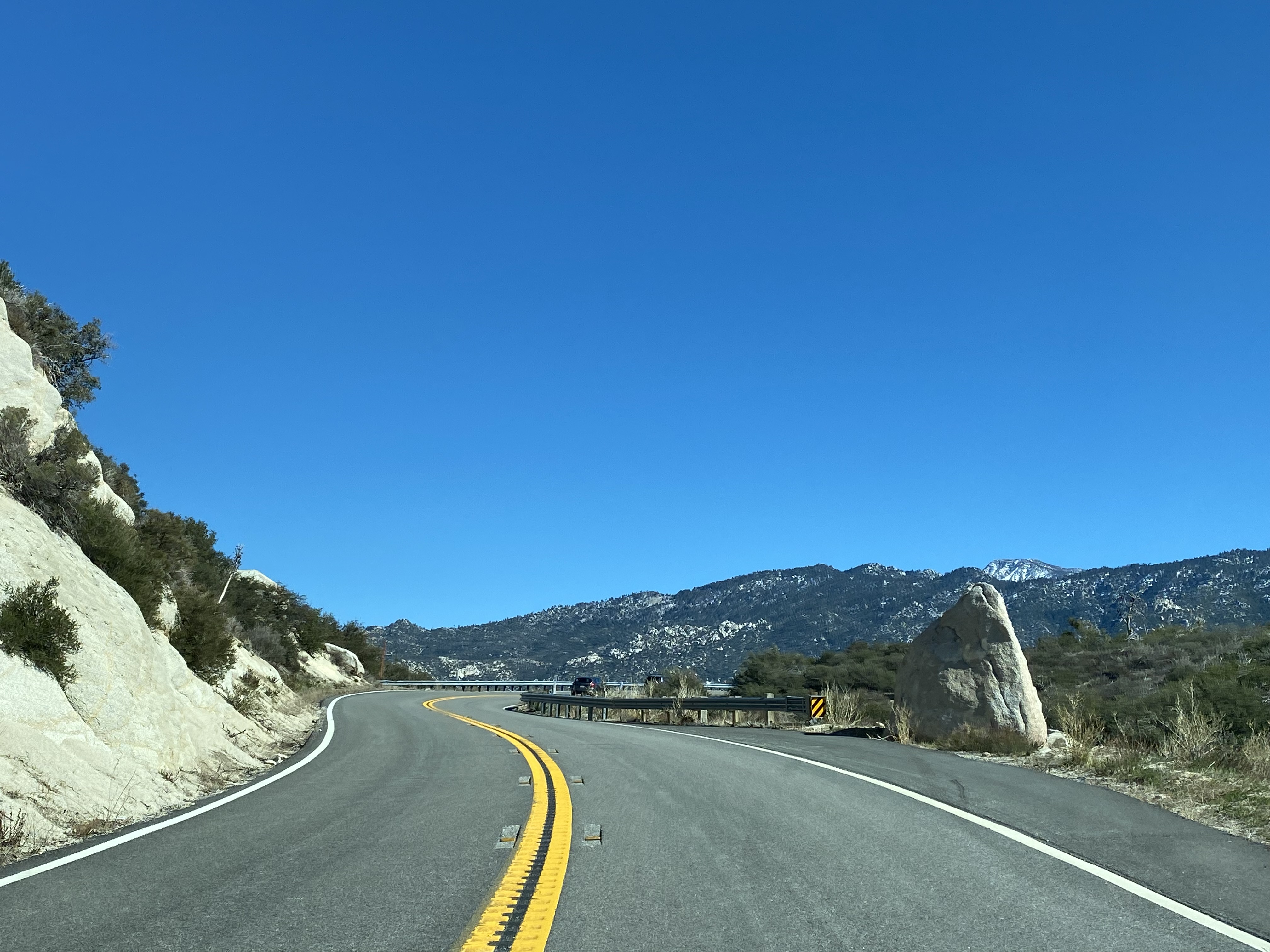


At Postmille RIV 16.40 CA 243 southbound intersects Forest Road 4S05 from where Lake Perris can be observed by facing west.


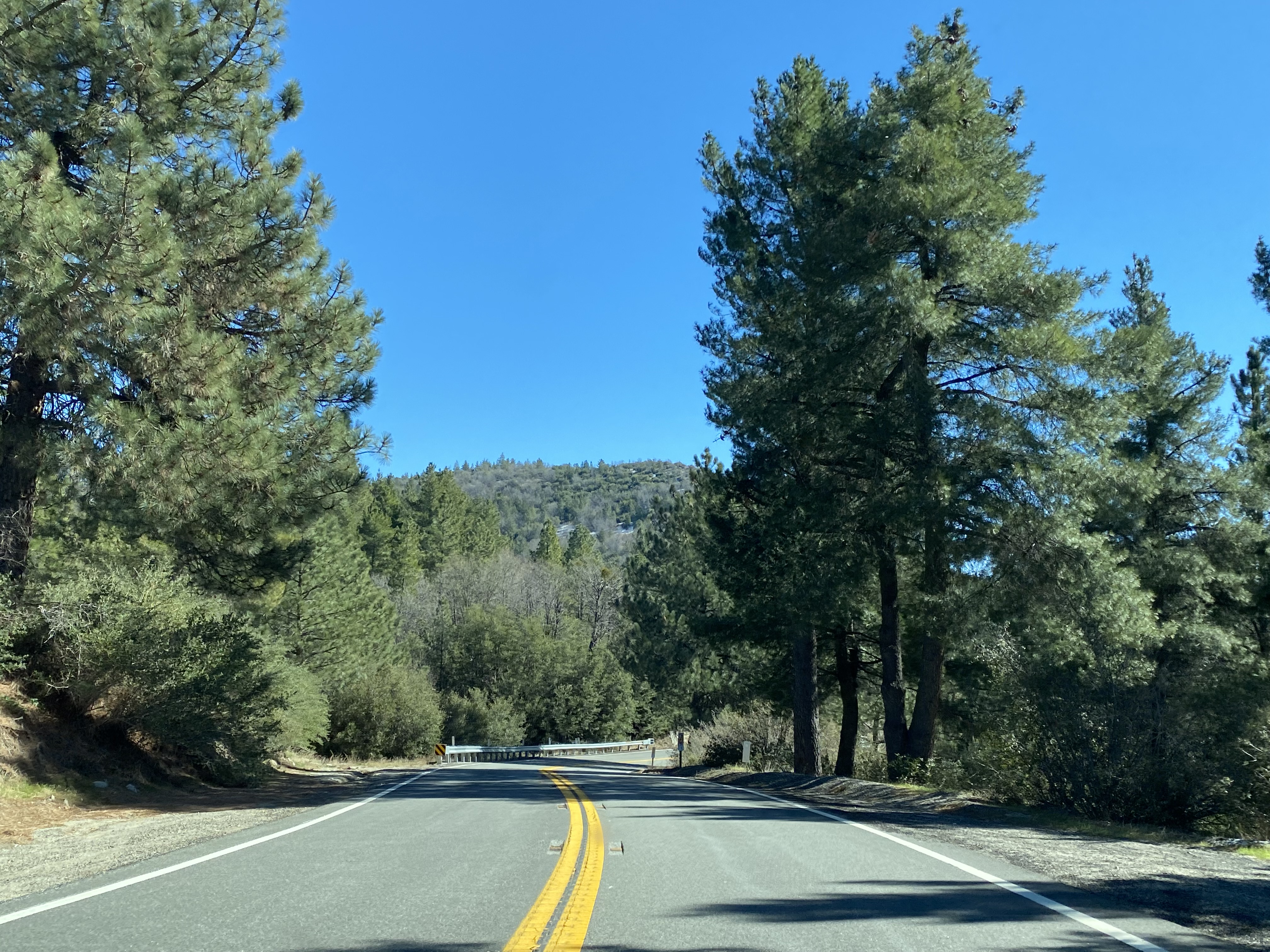


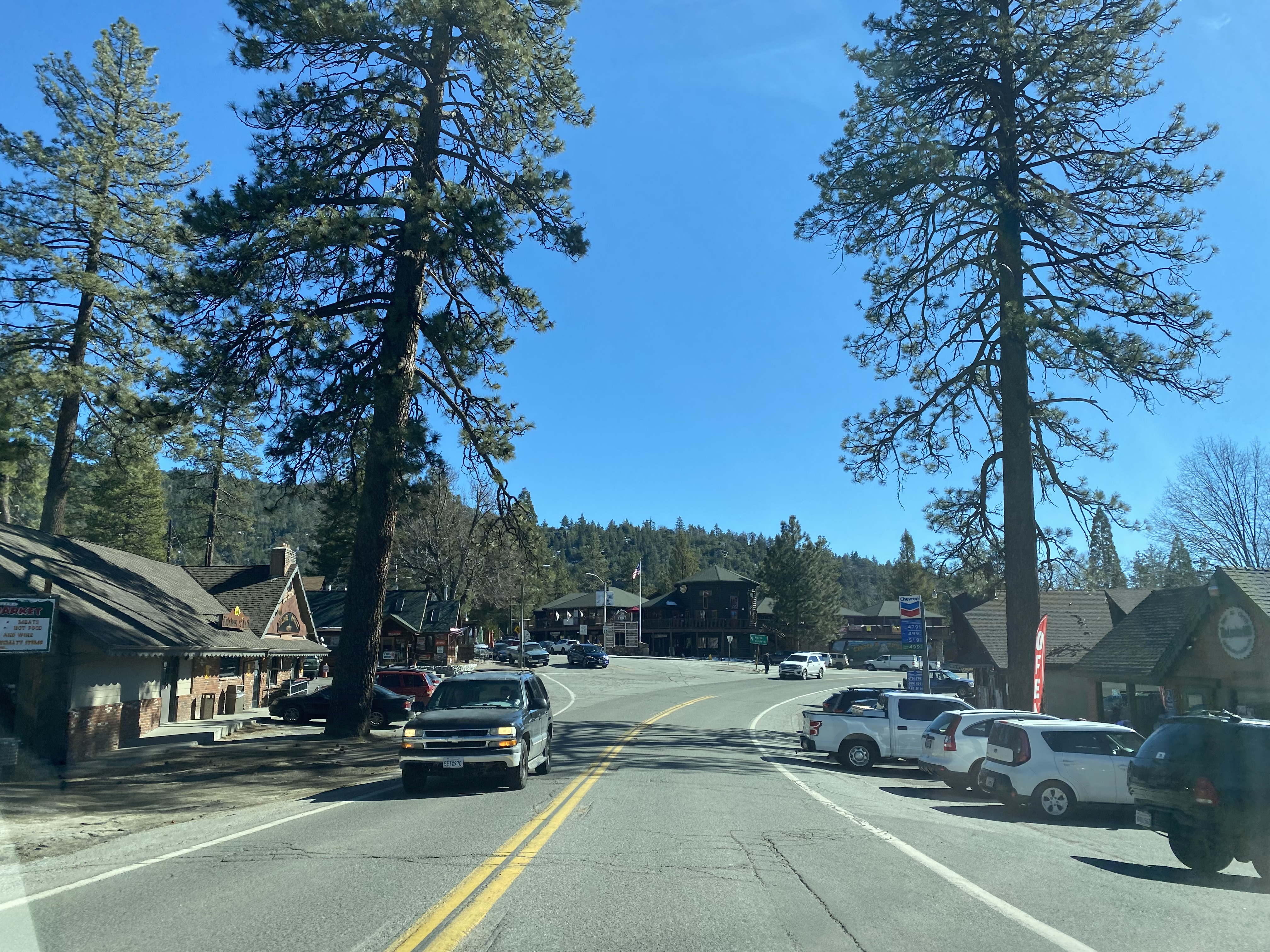
CA 243 continues south through the San Jacinto Mountains via the Banning-Idyllwild Panoramic Highway and reaches Idyllwild at approximately Postmile RIV 4.5.

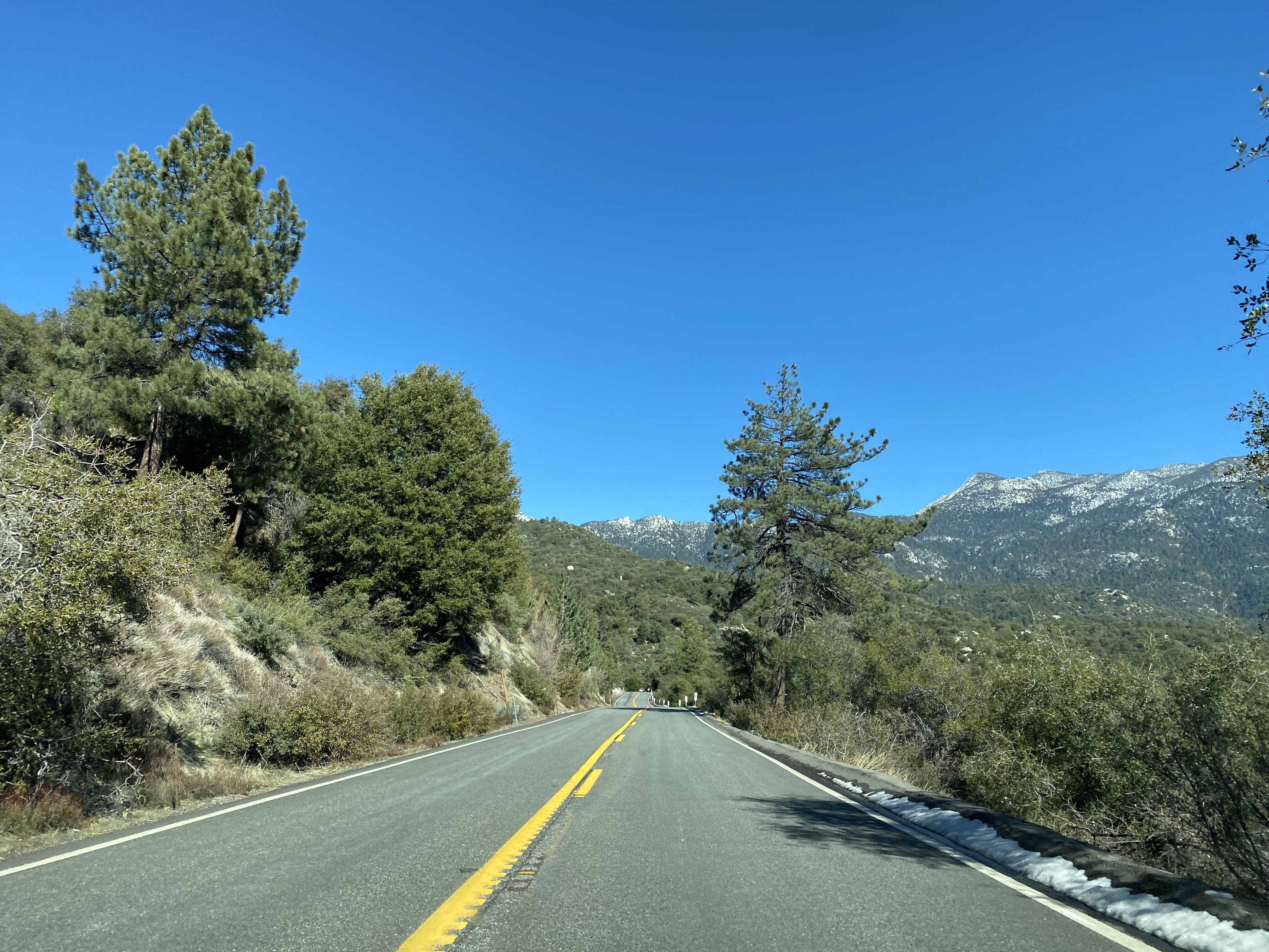


Idyllwild lies at an elevation 5,413 feet above sea level. What is now Idyllwild was opened as summer Camp Idyllwild in 1889. Camp Idyllwild was built next to the Dutch Flat sawmill of the Hannahs family. During the 1890s a tolled stage road from Hemet was built to facilitate travel to Camp Idyllwild. In 1893 the small community around Camp Idyllwild came to be known as Rayneta in honor of the Hannahs son Raymond. During 1901 the Idyllwild Sanatorium was built to house tuberculosis patients but was soon remodeled into a resort known as "Idyllwild Among the Pines." The modern community name "Idyllwild" was assumed around the time as the Among the Pines resort opened.

CA 243 southbound passes through Idyllwild and follows the remainder of Banning-Idyllwild Panoramic Highway to a terminus at CA 74/Palms to Pines Highway at Mountain Center.





- Published originally on November 2nd, 2019. At the time only a couple miles of CA 243 south of Banning were open to traffic due to a major landslide.
- Updated with the full routing of CA 243 on May 12th, 2022.
Comments