When I left the Chicago area on my recent Mid-Western trip my next destination was in downtown Detroit. After leaving Chicago via Interstate 90 on the Chicago Skyway and Indiana Toll Road I turned east on I-94 towards Detroit. I wouldn't deviate from I-94 for about 250 miles.

Interstate 94 is a 1,585.20 mile east/west Interstate and is by far the largest non-X0 even digit Interstate. I-94 was one of the original planned Federal Highway Act of 1956 Interstate routes. I-94 begins concurrent with I-69 at the Blue Water Bridge in Port Huron, Michigan at the Canadian Border/western terminus of Kings Highway 402 and ends at I-90/US 212/US 87 in Billings, Montana. I-94 is an incredibly vital link for commerce in the Mid-West and a popular port of entry from Canada.
Within Indiana I-94 largely was a limited access grade replacement for US Route 12 (especially when US 12 was on the Indiana Toll Road and Chicago Skyway). Within Michigan I-94 was a direct limited access replacement for the following highways:
- The original route of US 12 from the Indiana State Line east to Ann Arbor.
- East of Ann Arbor I-94 largely replaced M-17 and US 112 (current US 12) to downtown Detroit.
- I-94 east of Detroit largely replaced US 25 to Port Huron.
The Shell Corporation Highway Maps below show the highways present in Indiana and Michigan before I-94 was built in 1956.
1956 Indiana Highway Map
1956 Michigan Lower Peninsula Highway Map
My approach to I-94 began from I-90/Indiana Toll Road eastbound. I departed I-90/Indiana Toll Road onto I-94 via Exit 21.


In 2017 I drove the Indiana Toll Road east to the Ohio State Line. My previous blog entry can be found below.
Great Lakes Road Trip Day 10 Part 2; Indiana Toll Road, dunes and Ohio Turnpike
I jointed I-94 east bound in Lake Station of Lake County at Mile Maker 16.

While I-94 isn't the most exciting road I've covered in the Mid-West it was one of the most common I took in the late 1990s. Back in those days I used to frequently used to travel between Chicago, Detroit and Lansing which largely was on I-94.
East of the Indiana Toll Road the route of I-94 enters Porter County as has a highway junction with IN 249 at Exit 19 in Portage.


Detroit is signed as being 256 miles away on I-94 east of IN 249.

At Exit 22 A/B I-94 east meets US 20 in Burns Harbor.


I-94 east in Chesterston meets IN 49 at Exit 26 A/B. IN 49 north is notable due to it being the direct access point to Indiana Dunes National Park (which feels weird to write) and Indiana Dunes State Park.


At Mile Marker 28 I-94 east has a trucking weigh station.


I-94 east enters LaPorte County and meets US 421 at Exit 34 A/B.


I-94 east meets US 20/US 35 at Exit 40 A/B on the outskirts of Michigan City.


East of US 20/US 35 the route of I-94 is signed as being 235 miles from Detroit.

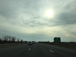
I-94 east enters Berrien County, Michigan. I-94 east traffic has access to a rest area/welcome center about a half mile into Michigan.


I-94 east Exit 1 accesses M-239 on Harbor Country Drive.

East of M-239 the route of I-94 has a weigh station.


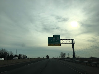
I-94 east has access to New Buffalo, Niles and Three Oaks at Exit 4 A/B at US 12.

Detroit is signed as being 225 miles away from I-94 Exit 4 A/B.

At Exit 23 I-94 east accesses a I-94 Business Route through St. Joseph and Benton Harbor.


I-94 east meets M-63 at Exit 27.


I-94 east crosses the St. Joseph River and meets M-139 at Exit 28.


I-94 east meets US 31 at Napier Avenue at Exit 30. Interestingly Napier Avenue is part of a discontinuous part of the US 31 limited access gap. I-94 east multiplexes US 31 north until it splits away onto I-196 north at Exit 34.


I-94 east of US 31/I-196 drops to a four lane configuration and is signed as 185 miles from Detroit.


There is a closed rest area on I-94 east of US 31/I-196.


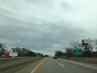
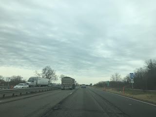
At Exit 41 I-94 east meets M-140. East of M-140 the route of I-94 enters Van Buren County.

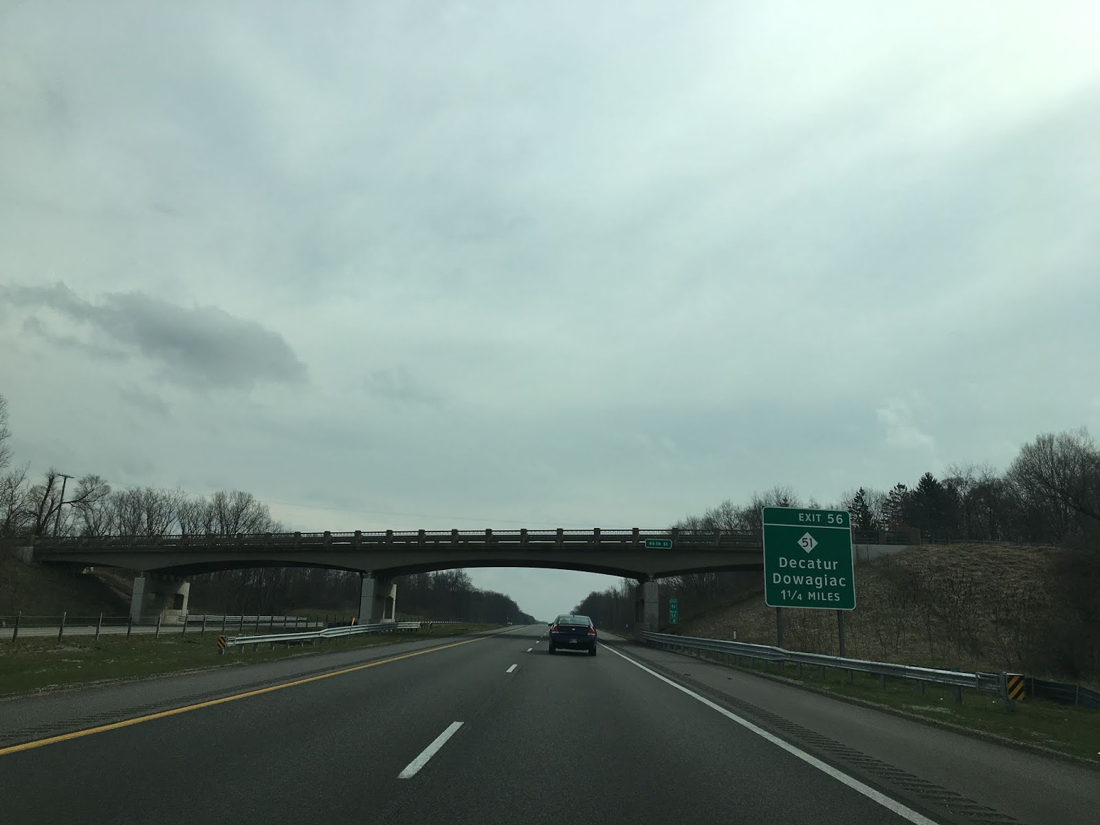
At Exit 56 I-94 east meets M-51.

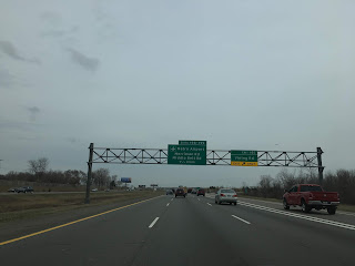
I-94 east crosses the Paw Paw River and meets M-40 at Exit 60. M-40 directly accesses Paw Paw which is the Van Buren County seat. Paw Paw is named after the Pawpaw trees that used to line the Paw Paw River. East of M-40 Kalamazoo is signed as 20 miles away on I-94.


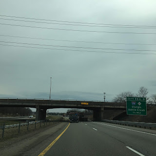
I-94 east enters Kalamzoo County and meets US 131 at Exit 74 A/B on the outskirts of the City of Kalamazoo.


Kalamazoo/Battle Creek Airport is signed as being accessible from I-94 east Exit 78.

I-94 east Exit 88 is direct access to Climax; insert your own joke.

I-94 east enters Calhoun County and accesses M-37/I-94 BL on the outskirts of Battle Creek at Exit 92.


East of Exit 92 there is a rest area along I-94.


I-94 east meets I-194/M-66 at Exit 98 A/B.


I-94 east accesses M-294 at Exit 100. M-294 is a relatively new State Trunkline and dates back to the late 1990s. It isn't really clear if the numbering is meant to insinuate it is a child route of I-94.


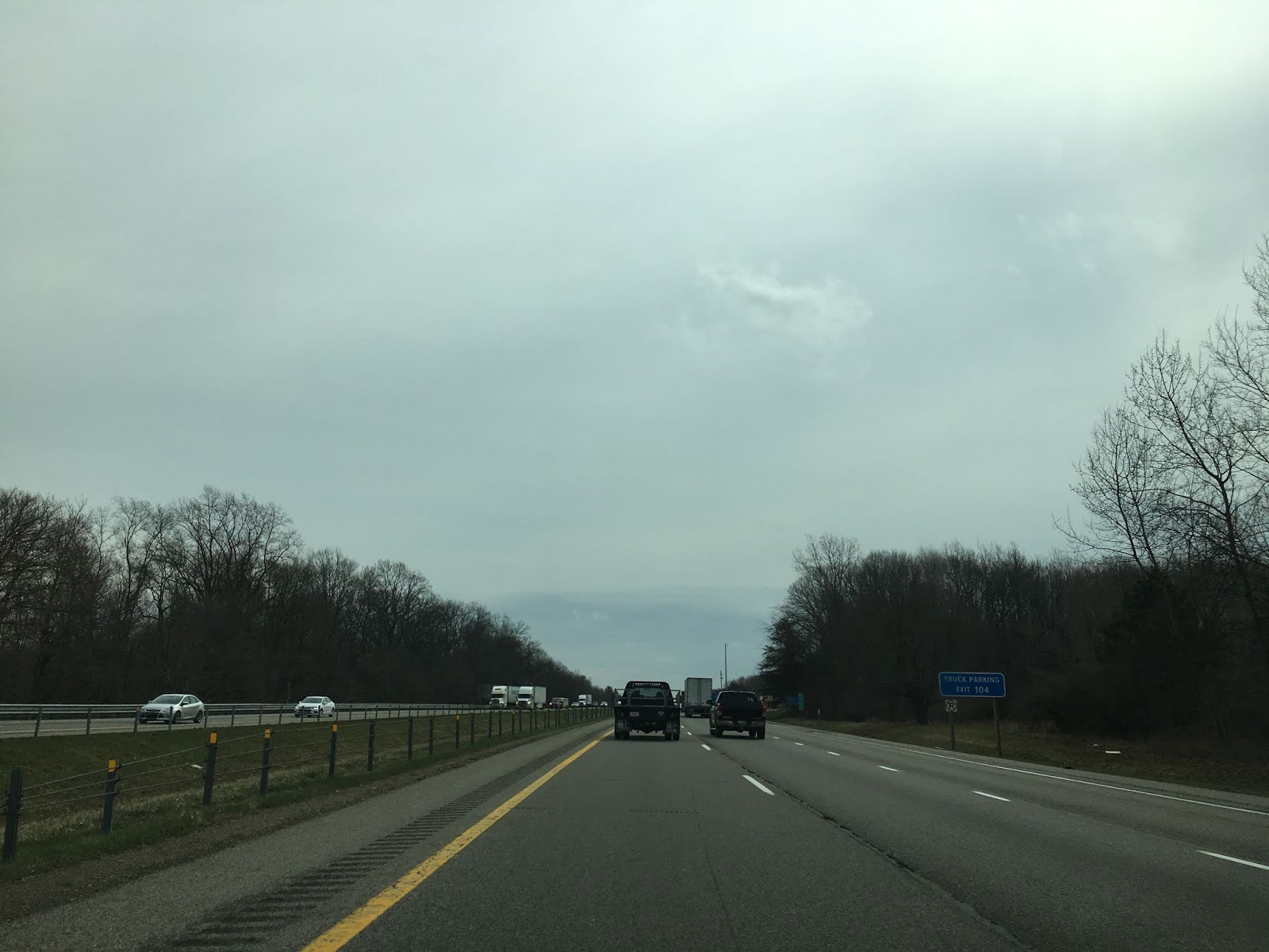
At Exit 104 I-94 east meets both M-311 and M-96.

Traffic headed towards Michigan International Speedway is directed to take US 127 at I-94 Exit 142 east of M-311/M-96.

At Exit 108 I-94 east meets I-69.


Old US 27 is signed as being accessible from I-94 Exit 110. Parts of Old US 27 south of Marshall are now part of M-227.

I-94 east meets M-199 at Exit 119.


I-94 meets the Aibion I-94 Business Loop at Exit 121.


I-94 east enters Jackson County and meets M-99 at Exit 124.

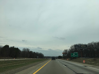
Easts of M-99 Jackson is signed as 16 miles away whereas Detroit is 90 miles away on I-94 east.

I-94 east has a rest area in Jackson County.


Approaching Jackson I-94 meets the I-94 Business Loop and M-60 at Exit 136. There was ongoing construction along I-94 in Jackson which was an infamous stretch of the freeway for traffic accidents when I was a Michigan resident.

I-94 Exit 138 accesses US 127 north and M-50.


I-94 east multiplexes US 127 south. Normally M-106 would be accessible from Exit 139 but it was closed and signed with a construction detour.


US 127 south splits away from I-94 at Exit 142.


Of note; on my way back westward to Chicago I-94 was actually closed in Jackson. The detour route took traffic down former US 12 in downtown Jackson on Michigan Avenue.

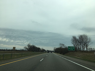
Ann Arbor is signed as 33 miles east of US 127 on I-94 and Detroit is signed as 70 miles away.

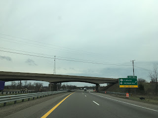
I-94 east enters Washtenaw County. At Exit 157 I-94 east meets Old US 12.


At Exit 159 I-94 east meets M-52.


East of M-52 there another rest area alongside I-94.


At Exit 162 I-94 intersects Old US 12 again.


I-94 enters the City of Ann Arbor and meets M-14. US 12 originally split north of Ann Arbor towards Detroit on the general corridor of M-14. M-14 is usually a slightly faster trip to downtown Detroit over I-94. Both routes are signed with a VMS indicating the travel times.


I-94 east meets US 23 at Exit 180 A/B.


I-94 east of US 23 picks up US 12 east at Exit 181 as it enters Ypsilanti. US 12 has a Business Route signed off of I-94 Exit 183, US 12 multiplexes I-94 east to Exit 185.


I-94 east enters Wayne County and at Exit 194 A/B meets I-275.


In Romulus I-94 east is signed as the primary point of access for Detroit Metro Airport via Exit 198 and 199.

At Exit 202 I-94 east meets US 24 on Telegraph Road in Taylor.


In Allen Park I-94 east meets M-39/Southfield Freeway.


The largest tire in the world (the giant Uniroyal tire) is located off I-94 east of M-39 in Allen Park. The Uniroyal Tire was originally a display for the 1964-65 New York World's Fair and is an actual rubber tire. The Uniroyal Tire was moved to the Uniroyal Corporate Office in 1966. Originally the Uniroyal Tire displayed a white wall trim but it was refurbished to look more like a modern tire in 1998.

I-94 enters Dearborn and meets US 12/Michigan Avenue at Exit 210.

East of US 12/Michigan I-94 finally enters the City of Detroit. I-94 in Detroit is known as the Edsel Ford Freeway.

Traffic to the Ambassador Bridge is directed to take I-94 east Exit 213B for I-96 whereas traffic to the Detroit-Windsor Tunnel is directed to take Exit 215A.


At Exit 214A I-94 east meets Grand River Avenue. Grand River Avenue used to carry US 16 and the early alignment of US 12.


At Exit 215 A/B I-94 meets M-10/Lodge Freeway.


At Exit 215C I-94 east is signed as access to M-1/Woodward Avenue. Exit 215C actually requires back tracking from John Street to reach Woodward Avenue.


Interstate 94 is a 1,585.20 mile east/west Interstate and is by far the largest non-X0 even digit Interstate. I-94 was one of the original planned Federal Highway Act of 1956 Interstate routes. I-94 begins concurrent with I-69 at the Blue Water Bridge in Port Huron, Michigan at the Canadian Border/western terminus of Kings Highway 402 and ends at I-90/US 212/US 87 in Billings, Montana. I-94 is an incredibly vital link for commerce in the Mid-West and a popular port of entry from Canada.
Within Indiana I-94 largely was a limited access grade replacement for US Route 12 (especially when US 12 was on the Indiana Toll Road and Chicago Skyway). Within Michigan I-94 was a direct limited access replacement for the following highways:
- The original route of US 12 from the Indiana State Line east to Ann Arbor.
- East of Ann Arbor I-94 largely replaced M-17 and US 112 (current US 12) to downtown Detroit.
- I-94 east of Detroit largely replaced US 25 to Port Huron.
The Shell Corporation Highway Maps below show the highways present in Indiana and Michigan before I-94 was built in 1956.
1956 Indiana Highway Map
1956 Michigan Lower Peninsula Highway Map
My approach to I-94 began from I-90/Indiana Toll Road eastbound. I departed I-90/Indiana Toll Road onto I-94 via Exit 21.


In 2017 I drove the Indiana Toll Road east to the Ohio State Line. My previous blog entry can be found below.
Great Lakes Road Trip Day 10 Part 2; Indiana Toll Road, dunes and Ohio Turnpike
I jointed I-94 east bound in Lake Station of Lake County at Mile Maker 16.

While I-94 isn't the most exciting road I've covered in the Mid-West it was one of the most common I took in the late 1990s. Back in those days I used to frequently used to travel between Chicago, Detroit and Lansing which largely was on I-94.
East of the Indiana Toll Road the route of I-94 enters Porter County as has a highway junction with IN 249 at Exit 19 in Portage.


Detroit is signed as being 256 miles away on I-94 east of IN 249.

At Exit 22 A/B I-94 east meets US 20 in Burns Harbor.


I-94 east in Chesterston meets IN 49 at Exit 26 A/B. IN 49 north is notable due to it being the direct access point to Indiana Dunes National Park (which feels weird to write) and Indiana Dunes State Park.


At Mile Marker 28 I-94 east has a trucking weigh station.


I-94 east enters LaPorte County and meets US 421 at Exit 34 A/B.


I-94 east meets US 20/US 35 at Exit 40 A/B on the outskirts of Michigan City.


East of US 20/US 35 the route of I-94 is signed as being 235 miles from Detroit.

I-94 east enters Berrien County, Michigan. I-94 east traffic has access to a rest area/welcome center about a half mile into Michigan.


I-94 east Exit 1 accesses M-239 on Harbor Country Drive.

East of M-239 the route of I-94 has a weigh station.


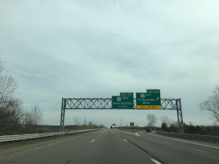
I-94 east has access to New Buffalo, Niles and Three Oaks at Exit 4 A/B at US 12.


Detroit is signed as being 225 miles away from I-94 Exit 4 A/B.

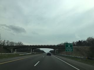
At Exit 23 I-94 east accesses a I-94 Business Route through St. Joseph and Benton Harbor.


I-94 east meets M-63 at Exit 27.


I-94 east crosses the St. Joseph River and meets M-139 at Exit 28.


I-94 east meets US 31 at Napier Avenue at Exit 30. Interestingly Napier Avenue is part of a discontinuous part of the US 31 limited access gap. I-94 east multiplexes US 31 north until it splits away onto I-196 north at Exit 34.


I-94 east of US 31/I-196 drops to a four lane configuration and is signed as 185 miles from Detroit.


There is a closed rest area on I-94 east of US 31/I-196.


At Exit 41 I-94 east meets M-140. East of M-140 the route of I-94 enters Van Buren County.

At Exit 56 I-94 east meets M-51.

I-94 east crosses the Paw Paw River and meets M-40 at Exit 60. M-40 directly accesses Paw Paw which is the Van Buren County seat. Paw Paw is named after the Pawpaw trees that used to line the Paw Paw River. East of M-40 Kalamazoo is signed as 20 miles away on I-94.


I-94 east enters Kalamzoo County and meets US 131 at Exit 74 A/B on the outskirts of the City of Kalamazoo.


Kalamazoo/Battle Creek Airport is signed as being accessible from I-94 east Exit 78.

I-94 east Exit 88 is direct access to Climax; insert your own joke.

I-94 east enters Calhoun County and accesses M-37/I-94 BL on the outskirts of Battle Creek at Exit 92.


East of Exit 92 there is a rest area along I-94.


I-94 east meets I-194/M-66 at Exit 98 A/B.


I-94 east accesses M-294 at Exit 100. M-294 is a relatively new State Trunkline and dates back to the late 1990s. It isn't really clear if the numbering is meant to insinuate it is a child route of I-94.


At Exit 104 I-94 east meets both M-311 and M-96.


Traffic headed towards Michigan International Speedway is directed to take US 127 at I-94 Exit 142 east of M-311/M-96.

At Exit 108 I-94 east meets I-69.


Old US 27 is signed as being accessible from I-94 Exit 110. Parts of Old US 27 south of Marshall are now part of M-227.


I-94 east meets M-199 at Exit 119.


I-94 meets the Aibion I-94 Business Loop at Exit 121.


I-94 east enters Jackson County and meets M-99 at Exit 124.


Easts of M-99 Jackson is signed as 16 miles away whereas Detroit is 90 miles away on I-94 east.

I-94 east has a rest area in Jackson County.


Approaching Jackson I-94 meets the I-94 Business Loop and M-60 at Exit 136. There was ongoing construction along I-94 in Jackson which was an infamous stretch of the freeway for traffic accidents when I was a Michigan resident.

I-94 Exit 138 accesses US 127 north and M-50.


I-94 east multiplexes US 127 south. Normally M-106 would be accessible from Exit 139 but it was closed and signed with a construction detour.


US 127 south splits away from I-94 at Exit 142.


Of note; on my way back westward to Chicago I-94 was actually closed in Jackson. The detour route took traffic down former US 12 in downtown Jackson on Michigan Avenue.

Ann Arbor is signed as 33 miles east of US 127 on I-94 and Detroit is signed as 70 miles away.

I-94 east enters Washtenaw County. At Exit 157 I-94 east meets Old US 12.


At Exit 159 I-94 east meets M-52.


East of M-52 there another rest area alongside I-94.


At Exit 162 I-94 intersects Old US 12 again.


I-94 enters the City of Ann Arbor and meets M-14. US 12 originally split north of Ann Arbor towards Detroit on the general corridor of M-14. M-14 is usually a slightly faster trip to downtown Detroit over I-94. Both routes are signed with a VMS indicating the travel times.


I-94 east meets US 23 at Exit 180 A/B.


I-94 east of US 23 picks up US 12 east at Exit 181 as it enters Ypsilanti. US 12 has a Business Route signed off of I-94 Exit 183, US 12 multiplexes I-94 east to Exit 185.


I-94 east enters Wayne County and at Exit 194 A/B meets I-275.


In Romulus I-94 east is signed as the primary point of access for Detroit Metro Airport via Exit 198 and 199.


At Exit 202 I-94 east meets US 24 on Telegraph Road in Taylor.


In Allen Park I-94 east meets M-39/Southfield Freeway.


The largest tire in the world (the giant Uniroyal tire) is located off I-94 east of M-39 in Allen Park. The Uniroyal Tire was originally a display for the 1964-65 New York World's Fair and is an actual rubber tire. The Uniroyal Tire was moved to the Uniroyal Corporate Office in 1966. Originally the Uniroyal Tire displayed a white wall trim but it was refurbished to look more like a modern tire in 1998.

I-94 enters Dearborn and meets US 12/Michigan Avenue at Exit 210.

East of US 12/Michigan I-94 finally enters the City of Detroit. I-94 in Detroit is known as the Edsel Ford Freeway.

Traffic to the Ambassador Bridge is directed to take I-94 east Exit 213B for I-96 whereas traffic to the Detroit-Windsor Tunnel is directed to take Exit 215A.


At Exit 214A I-94 east meets Grand River Avenue. Grand River Avenue used to carry US 16 and the early alignment of US 12.


At Exit 215 A/B I-94 meets M-10/Lodge Freeway.


At Exit 215C I-94 east is signed as access to M-1/Woodward Avenue. Exit 215C actually requires back tracking from John Street to reach Woodward Avenue.


Comments