Thompson Covered Bridge - West Swanzey, New Hampshire


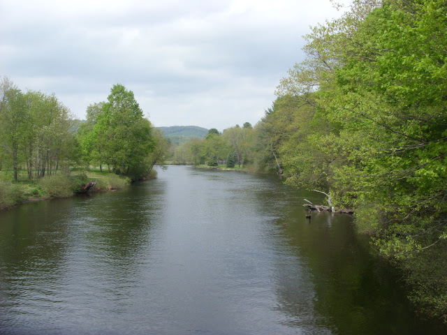
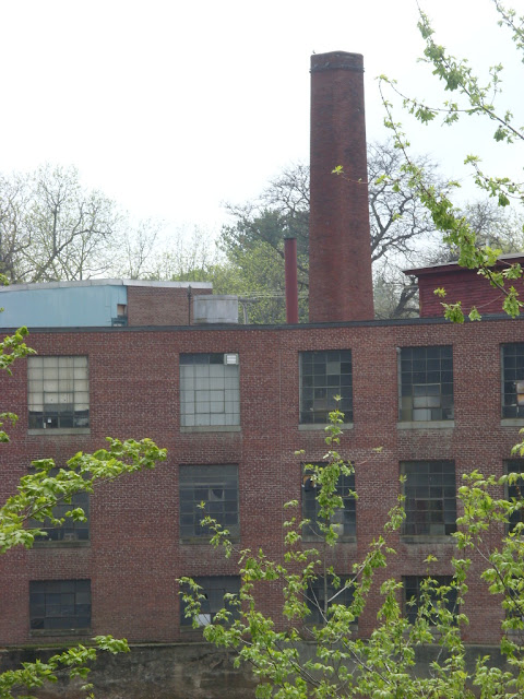
Also known as the West Swanzey Covered Bridge, the Thompson Covered Bridge connects the two halves of West Swanzey, New Hampshire over the Ashuelot River. The covered bridge was originally built in 1832 by Zadoc Taft for the grand sum of $523.27, which might seem like chump change by today's standards, but that was a nice payout in 1832. Utilizing a through truss design with lattice work, the bridge has two spans as it goes 151 feet across the river. The Thompson Covered Bridge is listed in the World Guide of Covered Bridges (WGCB) as number 29-03-04, is also listed as New Hampshire Covered Bridge # 5 and is on the National Register of Historic Places. The bridge has its home next to a mill of some sort, which is a monument to New England's industrial history. There is also a covered sidewalk on the north side of the bridge, which allows pedestrian traffic to enjoy the bridge without dodging cars.

By the time the 1970s rolled around, it was a whole new world of change and the covered bridge was showing its age after years of wear and tear. In 1973, when the bridge was posted for a six ton load limit, school buses were allowed to cross the bridge, but only if empty. I have come across similar factoids from other covered bridges I've researched, so maybe that was the solution at the time. When a bus full of students came to the bridge, the students would get off the bus, walk across the bridge, and board the bus again on the other side. In 1976, a new concrete and steel bridge was built nearby to carry heavy vehicles, just south of the covered bridge, at a cost of $376,914.61. The covered bridge was closed to vehicular traffic since the fall of 1990 after a report by state inspectors indicated the bridge was unsafe, and as a result, a committee was quickly formed in 1990 to develop proposals for the rehabilitation of the town's covered bridges. The Thompson Covered Bridge was ultimately reconstructed in 1993, so future generations can enjoy this local treasure.


How to Get There:


Sources and Links:
Bridgehunter.com - Thompson Covered Bridge 29-03-04
NHTourGuide.com - Thompson Covered Bridge West Swanzey
New Hampshire Bridges - West Swanzey Bridge
Life, on a Bridged - Thompson Covered Bridge, West Swanzey, NH 

Comments

Popular posts from this blog

The Bayshore Freeway (US Route 101)

The Bayshore Freeway is a 56.4-mile component of US Route 101 located in the San Francisco Bay Area.  The Bayshore Freeway connects the southern extent of San Jose to the Central Freeway in the city of San Francisco.  The corridor was originally developed as the Bayshore Highway between 1923 and 1937.  The Bayshore Highway would serve briefly as mainline US Route 101 before being reassigned as US Route 101 Bypass in 1938.  Conceptually the designs for the Bayshore Freeway originated in 1940 but construction would be delayed until 1947.  The Bayshore Freeway was completed by 1962 and became mainline US Route 101 during June 1963.   Part 1; the history of the Bayshore Freeway Prior the creation of the Bayshore Highway corridor the most commonly used highway between San Jose and San Francisco was El Camino Real (alternatively known as Peninsula Highway).  The  American El Camino Real  began as an early example of a signed as an Auto Trail starting in 1906.  The era of State Highway Mainte

Former US Route 101 and California State Route 41 through Paso Robles

Paso Robles is a city located on the Salinas River of San Luis Obispo County, California.  As originally configured the surface alignments of US Route 101 and California State Route 41 converged in downtown Paso Robles.  US Route 101 originally was aligned through Paso Robles via Spring Street.  California State Route 41 entered the City of Paso Robles via Union Road and 13th Street where it intersected US Route 101 at Spring Street.  US Route 101 and California State Route 41 departed Paso Robles southbound via a multiplex which split near Templeton.   Pictured above is the cover of the September/October 1957 California Highways & Public Works which features construction of the Paso Robles Bypass.  Pictured below is the 1935 Division of Highways Map of San Luis Obispo County which depicts US Route 101 and California State Route 41 intersecting in downtown Paso Robles.   Part 1; the history of US Route 101 and California State Route 41 in Paso Robles Paso Robles ("Pass of the

Paper Highways; US Route 20 Alternate over Teton Pass

The 8,431 foot high Teton Pass lies in the Teton Range of the Rocky Mountains within Teton County, Wyoming.  Presently Teton Pass is crossed by Wyoming Highway 22 and Idaho State Highway 33.  At one point the highway over Teton Pass was signed as US Route 20 Alternate.  US Route 20 Alternate was over Teton Pass never formally approved by the American Association of State Highway Officials nor has the corridor ever been officially part of a US Route.  The image above was taken from the 1949 Rand McNally Map of Idaho, Wyoming and Montana which shows US Route 20 Alternate branching from US Route 20/US Route 191 near Sugar City, Idaho and crossing Teton Pass towards Jackson, Wyoming.   The history of US Route 20 Alternate over Teton Pass No major Auto Trail was ever assigned to Teton Pass as evidenced by the 1925 Rand McNally Map of Idaho, Montana and Wyoming .  On the Wyoming side Teton Pass can be seen as part of Wyoming Highway 25 ("WY 25") whereas no State Highway is shown to