
The Michigan Bar Road Bridge is a single lane deck truss structure located in eastern Sacramento County at the Cosumnes River. Michigan Bar is the site of a mining community which was founded on the Cosumnes River in 1849 by miners originating from Michigan. The original bridge at Michigan Bar was constructed in 1853 and made public in 1879. The second structure at the site was constructed during 1887 and was destroyed by flooding in 1907. During 1908 a truss span was constructed which was redecked to the current design in 1947.
Part 1; the history of the Michigan Bar Road Bridge
The history of Michigan Bar can be found on a plaque located at the intersection of California State Route 16 and Michigan Bar Road. Michigan Bar was founded by two miners from Michigan in 1849 at a gold claim on the Cosumnes River. The community of located near the Nisenan village of Palamul.
Michigan Bar would reach a peak population of approximately 1,500 during the 1850s. The community would shift from was placer mining to hydraulic mining during the 1860s. The hydraulic operations would end up consuming much of the original Michigan Bar town site by the early 1880s. Following a lawsuit in 1884 hydraulic mining at the Michigan Bar Mining District would decline.


During 1853 the first bridge over the Cosumnes River at Michigan Bar was constructed. The original structure a franchise toll facility which carried rights for twenty-five years. The span was made free would Sacramento County assumed ownership of the bridge in 1879. The original Michigan Bar Road Bridge can be seen on the 1882 Official Map of Sacramento County.

During 1887 Sacramento County constructed a new bridge at Michigan Bar. It isn't fully clear what type of design the 1887 structure was, but it may have had a covered span. The 1887 Michigan Bar Road Bridge can be seen on the 1894 United States Geological Survey map of Lodi.

The 1887 bridge was destroyed during a flood on the Cosumnes River in 1907. The structure was replaced by a truss span which was completed in 1908. The 1908 bridge can be seen in a series of slides hosted by the Center of Sacramento History.


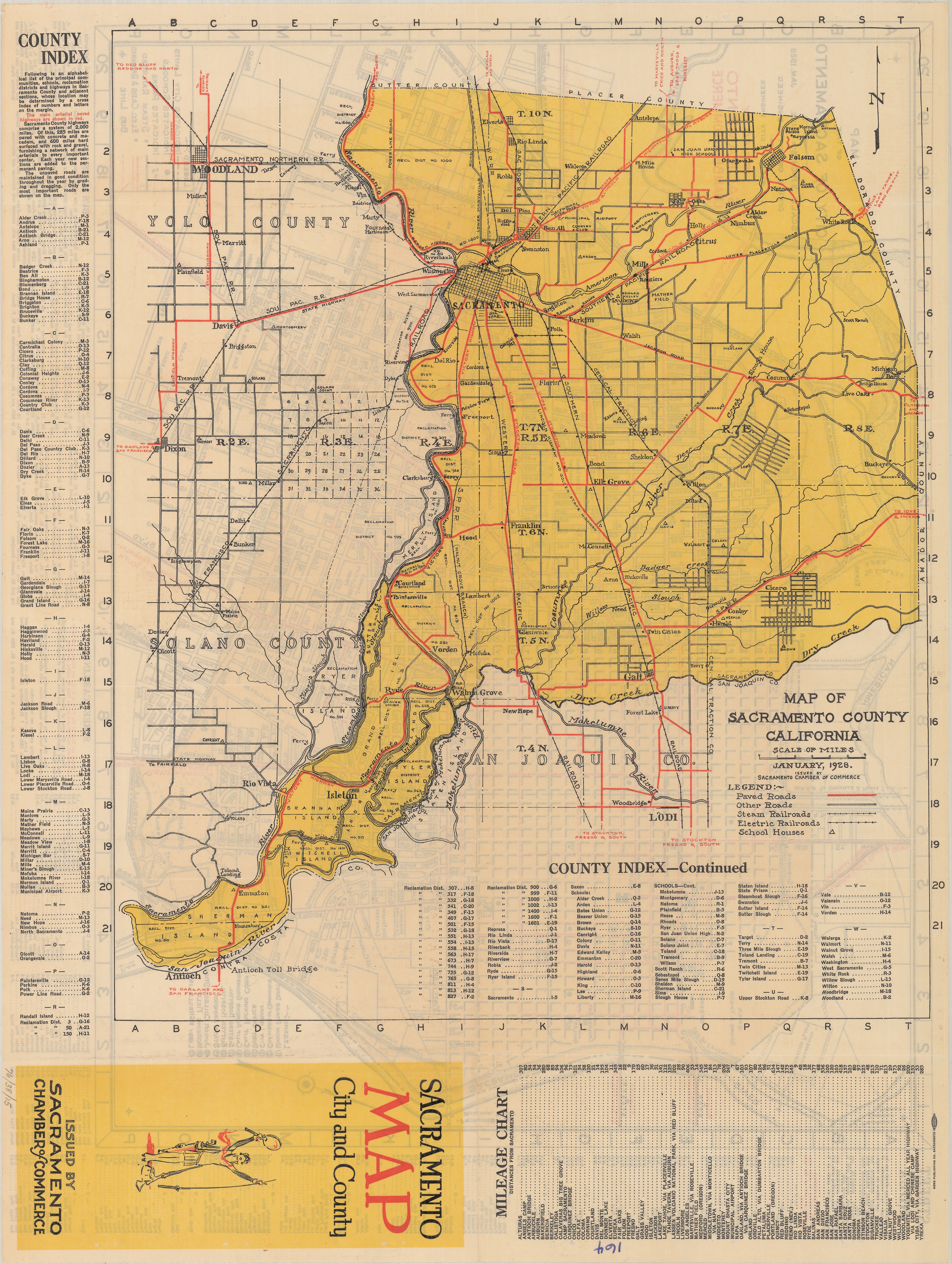
The 1908 Michigan Bar Road Bridge can be seen on the 1928 Map of Sacramento County.

During 1947 the surface of the Michigan Bar Road Bridge was replaced with a desk truss. The then new deck reused the pilings which were erected during 1908. It isn't fully clear why the deck was replaced. The Michigan Bar Road Bridge redecking designs were published by the Sacramento County Engineer Office during November 1957.


The 1947 Michigan Bar Road Bridge was assessed in 2010 by Caltrans. The span is noted to be 107.6 long and was in noted to have a sag in the truss. The sagged truss led to the structure receiving a lower load capacity limit.


Sacramento County conducted preliminary studies for a replacement to the 1947 Michigan Bar Road Bridge circa 2011-2012. Environmental Study in project zone was conducted circa 2013-2018 along with a design phase during 2014-2018. Right-of-way acquisition for a new bridge was conducted circa 2018-2019 and construction was supposed to start in 2020.
It is unclear why the replacement project has stalled since 2020. The replacement span is noted to be a twelve-foot-wide single lane which would permit pedestrian access. The current structure is noted to carry less than 100 vehicles a day.


Part 2; a drive on the Michigan Bar Road Bridge
Signage along California State Route 16 directs traffic where to pull onto Michigan Bar Road.

Michigan Bar Road descends north from California State Route 16 towards the Consumnes River. Signage approaching the town site of Michigan Bar indicates the namesake bridge has a 5 MPH speed limit and weight capacity of 18 Tons-25 Tons depending on length.


Michigan Bar Road approaches the Cosumnes River amid homes constructed in the 1870s. From the south river bank the bridge pilings constructed in 1908 can be seen.


Below is the view crossing the Michigan Bar Road Bridge northbound. Michigan Bar Road continues three miles north of the Cosumnes River with a dirt surface to Latrobe Road.


Below is the view crossing the Michigan Bar Road Bridge heading south.


Comments