
Calaveritas Road


Calaveritas Road is a five-mile mountain highway in the Sierra Nevada Mountains of Calaveras County, California.  Calaveritas Road connects from Mountain Ranch Road in San Andreas southeast to Dogtown Road by way of the Gold Rush community of Calaveritas.  Calaveritas was founded in 1849 by Mexican miner and is the location where the ruins of the Costa Store can be found.  The Calaveritas Creek Bridge can be found on Calaveritas Road and is the oldest example of a top chord Warren pony truss in California having been constructed during 1928.  


Part 1; the history of Calaveritas Road

Calaveritas Road is named after the small community of the same name located southwest of San Andreas.  Calaveritas was founded by Mexican miners in 1849. The community is thought to have peaked with a population of about 800 by 1857. Much of Calaveritas would burn in a fire during 1858 which would lead to it declining. For a time, the community as known as "Upper Calaveritas" to differentiate it from a nearby "Lower Calaveritas."

Calaveritas Road can be seen connecting San Andreas to the vicinity of Indian Creek via Calaveritas on the 1914 C.F. Weber Map of Calaveras County.  


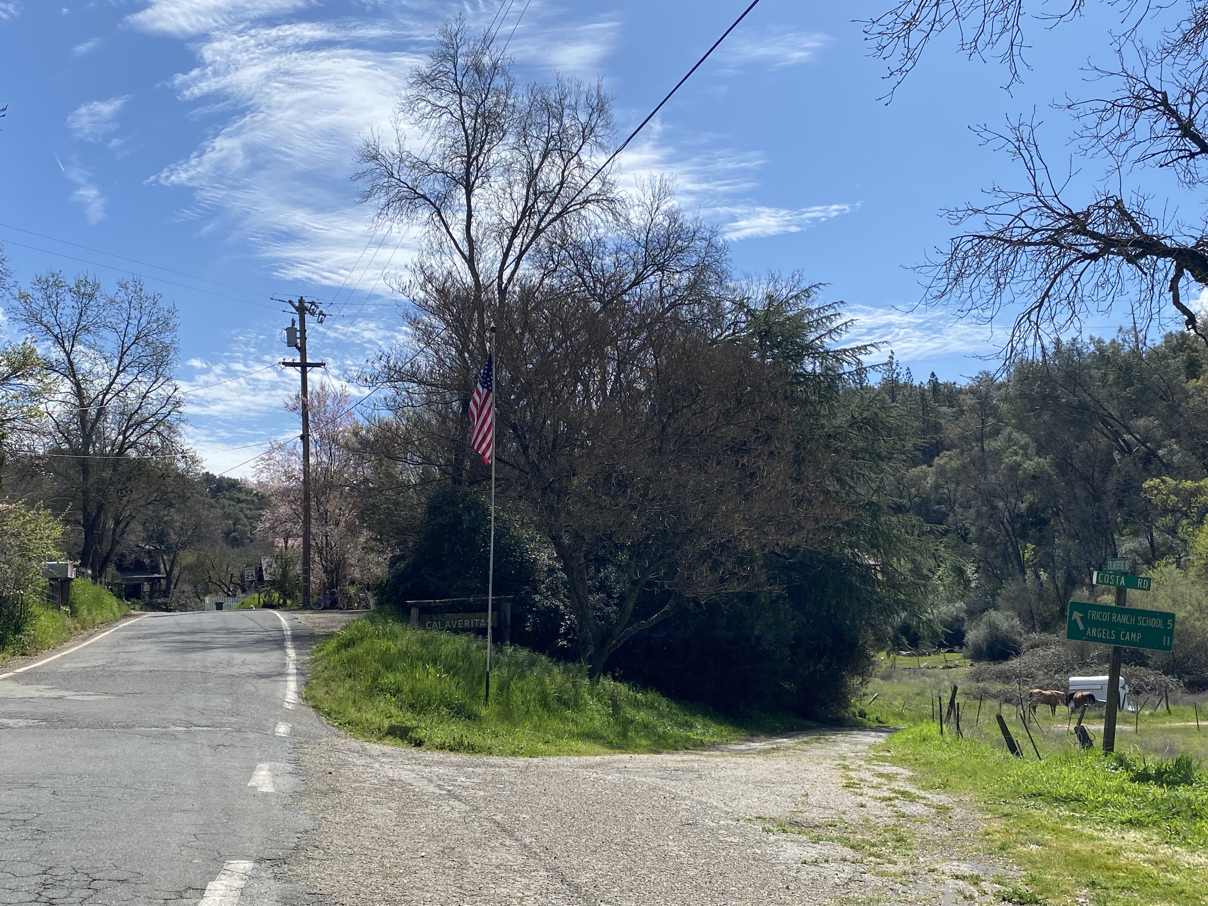
The Calaveritas Creek Bridge is located just south of the namesake community along Calaveritas Road.  The structure is a top chord Warren pony truss which was constructed during 1928.  The structure was found to be oldest remaining such design left in California during a study in 2015 (Calaveras Enterprise).  The structure was added to the National Register of Historic Places during August of said year.  


Part 2; a drive on Calaveritas Road

Calaveritas Road begins in San Andreas at Mountain Ranch Road.  


As southbound Calaveritas Road begins traffic is warned of the 18,000-23,000lb weight limit four miles ahead at the Calaveritas Creek Bridge.


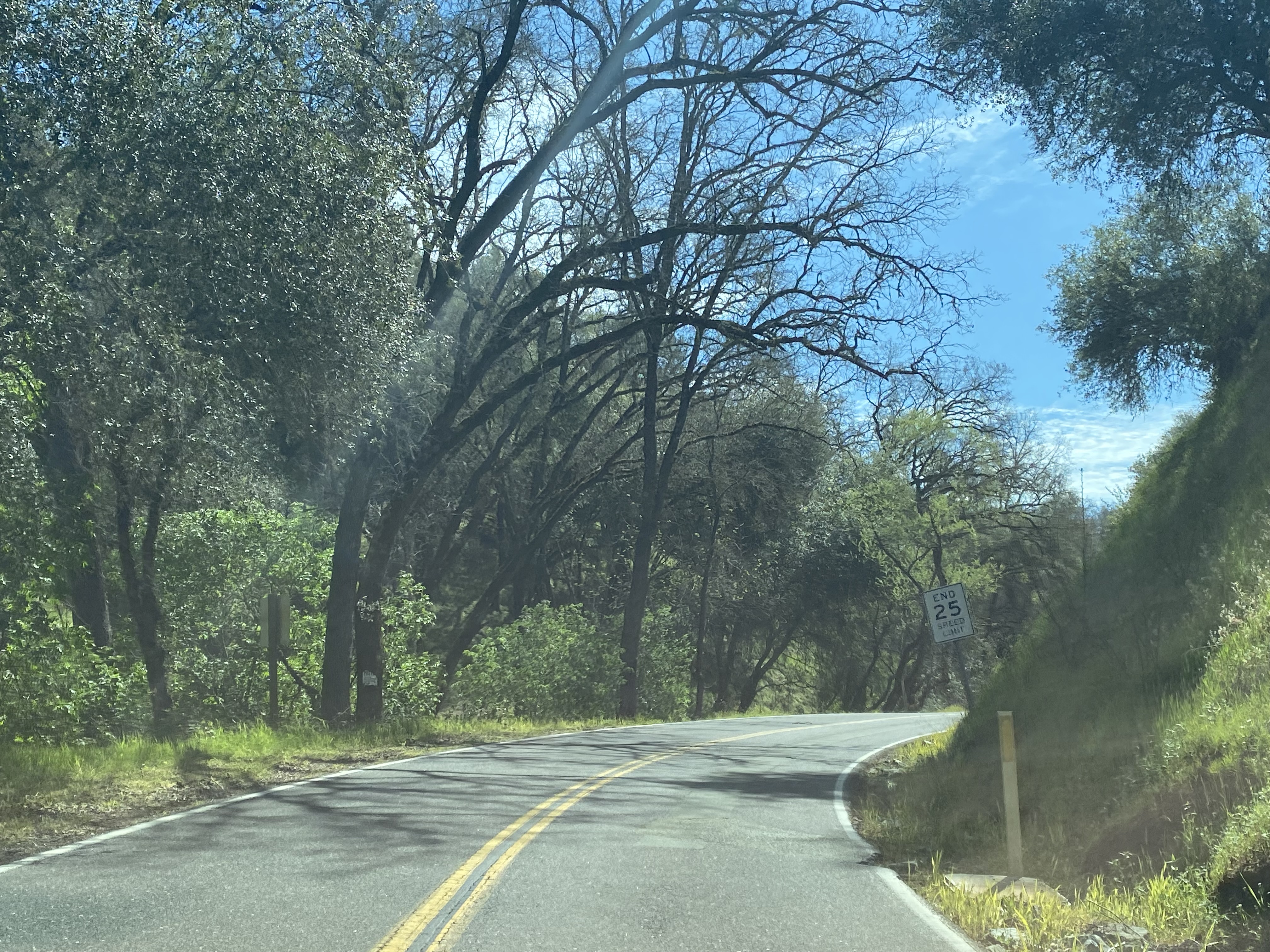
Calaveritas Road continues south as a two-lane road and drops to a single lane approaching the Cement Plant Road trestle.  


The Cement Plant Road trestle was built over Calaveritas Road in the late 1920s by Calaveras Cement.  Calaveras Cement incorporated in 1925 and was based out of a plant located on Pool Station Road.  The company is most well-known for supplying cement to the construction site of Pardee Dam.  The company would construct a 5.5-mile private road from their plant to quarries located east of Calaveritas. Calaveras Cement would be sold in 1959 and again in 1979.  The company would be shuttered in 1983 due to being unable to compete with foreign cement prices and a high cost to modernize their plant.  Despite the shuttering of Calaveras Cement the road to the quarry remains private and inaccessible to the public. 


Calaveritas Road passes through the town site of Calaveritas.  The remains of the Costa Store constructed in 1852 harkens back to the era of the Gold Rush.  The Costa Store operated in the community into the early twentieth century.  A State Registered Landmark plaque can also be found in the community.


Calaveritas Road continues south over the Calaveritas Creek Bridge. 


Calaveritas Road climbs from Calaveritas Creek and terminates at Dogtown Road.  


Comments

Popular posts from this blog

Did Caltrans just kill the G26 cutout US Route shields?

The US Route System was formally created by the American Association of State Highway Officials during November 1926.  Through the history of the system the only state to which has elected to maintain cutout US Route shields has been California.  The G26 series cutout US Route shields have become a favorite in the road enthusiast hobby and are generally considered to be much more visually pleasing than the standard Federal Highway Administration variant.  However, the G26 shield series appears to have been killed off on January 18, 2026, when Caltrans updated their Manual of Uniform Traffic Control Devices.  This blog will examine the history of the US Route shield specifications in California and what is happening with the 2026 changes.  The blog cover photo is facing towards the terminus of California State Route 136 and at a G26-2 specification US Route 395 shield.  In the background Mount Whitney can be seen in the Sierra Nevada range.   ...

May 2023 Ontario Trip (Part 3 of 3)

  Over the years, I have made plenty of trips to Ontario, crisscrossing the southern, central and eastern parts of the province. Living in Upstate New York, it's pretty easy to visit our neighbor to the north, or is that our neighbor to the west? Ottawa is one of my favorite cities to visit anywhere in the world, plus I've discovered the charm of Kingston, the waterfalls of Hamilton (which is on the same Niagara Escarpment that brings us Niagara Falls), the sheer beauty of the Bruce Peninsula, and more. But I hadn't explored much of Cottage Country. So I decided to change that, and what better time to go than over Memorial Day weekend, when the daylight is long and I have an extra day to explore. On the third and final day of my trip, I started in Huntsville and made my way through Muskoka District and Haliburton County, passing by many lakes along the way. I stopped in towns such as Dorset, Haliburton and Bancroft before making a beeline down to Belleville and then over th...

Ghost Town Tuesday; Nichols, FL

A couple years ago I spent a lot of spare time exploring phosphate mining ghost towns in the Bone Valley of Polk County, Florida.  One ghost town in particular called Nichols on Polk County Route 676 west of Mulberry caught my eye due to a relative lack of documentation on ghosttowns.com. Nichols was created in 1905 during the early phosphate mining boom in the Bone Valley region.  For the time Nichols was unusual since it had company housing in the Nichols Mine site and private residences outside the gate.  Nichols is only about two miles west of Mulberry which probably made it a somewhat reasonable commute even by the wonky standards of the early 20th Century.  Most of the Bone Valley region was relatively remote which made commuting or homesteading impractical which is why there are so many ghost towns in the area.  The company housing section of Nichols was phased out and abandoned by 1950. The Nichols town site is largely abandoned and could "possibl...