California State Route 245 is a 42 mile north/south state highway in Tulare County stretching from CA 180 near Kings Canyon National Park in the Sierra Nevada Range to CA 198 near Visalia.

CA 245 is one of my favorite state highways given that it has over 200 curves and is generally rural with very low traffic counts. CA 245 is probably one of the most challenging state highways in California but one of the most fun to drive on. When I took this album I started out at CA 180 and headed southward towards CA 198. Most of CA 245 north of Dunlap Road to CA 180 is in the Giant Sequoia National Monument. The north terminus of CA 245 is at approximately 5,400 feet above sea level and quickly loses elevation south of CA 180.


The signed 30 miles of curves is about as serious as it gets.

Near the first big drop southbound on CA 245 was closed briefly this past winter due to winter mudslides.


There isn't many overlooks on CA 245, basically you have make your own from the shoulders of the road.

Really there isn't much in the way of straight road south of CA 180 to Dunlap Road.


At about 4,000 feet above sea leave CA 245 passes through a small community called Pinehurst. Essentially the community is the boundary where the Giant Sequoia National Monument ends.

Originally CA 65 was signed north of CA 198 to CA 180. The original alignment of CA 180 used to run on Dunlap Road before it was realigned to the north on the modern road. This junction was originally the north terminus of CA 65 on the left where it met CA 180 on Dunlap Road which is on the right.

CA 245 takes a huge drop to about 3,000 feet above sea level before entering the community of Badger.


I visited Badger back in April 2016 since the community essentially is abandoned and noted the following:
"Badger is located roughly at the mid-way point on CA 245 between CA 198 and CA 180. The earliest reference to Badger I can find was a map of Tulare County showing Camp Badger north of Visalia in 1892, I'm not sure that implicates that it was once an Army Camp. The remaining General Store suggests that there may have been some gold prospecting the general area but much like Mineral King to the south it doesn't appear to have gone anywhere. Badger is most known from a 1970s McDonalds promotion where the roughly 100 remaining residents were fed for about $13 dollars."
Really there isn't much left in Badger aside from some crumbling buildings.


At Dry Creek Road CA 245 junctions the "unsigned" Signed County Route J21.

For some reason there was some extra emphasis on J21 largely being a one-lane road. Most GPS units will try to take cars down J21 which is a way slower route.

CA 245 gradually loses elevation south of J21 but is essentially almost all curves.


CA 245 crosses the Cottonwood Creek Bridge which was completed in 1923.


I did take CA 245 a month later in May when CA 180 to Cedar Grove opened up. It seems like the perfect occasion to take the Challenger out on a cool mountain road.


CA 245 intersects Boyd Drive which used to be part of CA 63 before it was realigned north to CA 180 from Orosi.

South of Boyd Drive CA 245 takes one final big drop below 1,000 feet above sea level and begins to straighten out.

The next major junction on CA 245 southbound is CA 201.

Ahead is Signed County Route J27 on Road 200 which of course isn't actually signed in the field as per standard in Tulare County.

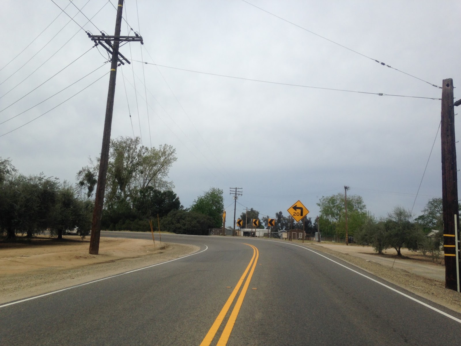
There is a hell of a view of the Sierras as CA 245 takes a turn on Avenue 364 and Road 204. CA 245 has a lot of 90 degree turns in Sierra Foothills which snake through ranches.
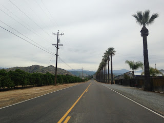

CA 245 enters Woodlake which is the only major locality on the entire route. CA 245 junctions CA 216 in downtown at a roundabout.


South of Woodlake CA 245 is only 6 miles in length before terminating at CA 198. There are a couple more 90 degree turns on CA 245 before the south terminus.


The history of CA 245 is tied to CA 65. CA 245 was originally part of Signed State Route 65 back in 1934 and terminated at SSR 180 which used Dunlap Road at the time. Basically it all makes sense given the modern north terminus of the southern segment of CA 65 terminates about a mile west of the modern south terminus of 245.
At some point between 1940 and 1942 SSR 180 was moved to modern alignment CA 180 takes on the Kings Canyon Highway and SSR 65 was extended north to where the modern northern terminus of CA 245 is now. The routing for SSR 180 on Dunlap Road and the eventual changes I described can be seen on these maps:
1935 Fresno County Road Map
1938 State Highway Map
1940 State Highway Map
1942 State Highway Map
In 1964 SSR 65 north of SSR 198 was renumbered to CA 69 as part of the highway renumbering. Basically this is where the second CA 65 comes from as there was a far reaching plan to have the highway extended to run east of CA 99. Apparently the signage change didn't take effect until 1965 for either 65 and 69. The changes can be seen on the following maps:
1963 State Highway Map
1964 State Highway Map
1965 State Highway Map
According to rumor and conjecture the reason CA 69 was reassigned as CA 245 was due to sign theft.
http://www.aaroads.com/forum/index.php?topic=17893.msg2155550#msg2155550
Which really is a compelling enough story that is even on cahighways:
http://www.cahighways.org/065-072.html
The above article states that the legislative definition of CA 69 was changed to CA 245 in 1972. The only maps from the time period that I've been able to find would be from 1970 and 1975:
1970 State Highway Map
1975 State Highway Map

CA 245 is one of my favorite state highways given that it has over 200 curves and is generally rural with very low traffic counts. CA 245 is probably one of the most challenging state highways in California but one of the most fun to drive on. When I took this album I started out at CA 180 and headed southward towards CA 198. Most of CA 245 north of Dunlap Road to CA 180 is in the Giant Sequoia National Monument. The north terminus of CA 245 is at approximately 5,400 feet above sea level and quickly loses elevation south of CA 180.


The signed 30 miles of curves is about as serious as it gets.

Near the first big drop southbound on CA 245 was closed briefly this past winter due to winter mudslides.


There isn't many overlooks on CA 245, basically you have make your own from the shoulders of the road.

Really there isn't much in the way of straight road south of CA 180 to Dunlap Road.


At about 4,000 feet above sea leave CA 245 passes through a small community called Pinehurst. Essentially the community is the boundary where the Giant Sequoia National Monument ends.

Originally CA 65 was signed north of CA 198 to CA 180. The original alignment of CA 180 used to run on Dunlap Road before it was realigned to the north on the modern road. This junction was originally the north terminus of CA 65 on the left where it met CA 180 on Dunlap Road which is on the right.

CA 245 takes a huge drop to about 3,000 feet above sea level before entering the community of Badger.


I visited Badger back in April 2016 since the community essentially is abandoned and noted the following:
"Badger is located roughly at the mid-way point on CA 245 between CA 198 and CA 180. The earliest reference to Badger I can find was a map of Tulare County showing Camp Badger north of Visalia in 1892, I'm not sure that implicates that it was once an Army Camp. The remaining General Store suggests that there may have been some gold prospecting the general area but much like Mineral King to the south it doesn't appear to have gone anywhere. Badger is most known from a 1970s McDonalds promotion where the roughly 100 remaining residents were fed for about $13 dollars."
Really there isn't much left in Badger aside from some crumbling buildings.


At Dry Creek Road CA 245 junctions the "unsigned" Signed County Route J21.

For some reason there was some extra emphasis on J21 largely being a one-lane road. Most GPS units will try to take cars down J21 which is a way slower route.

CA 245 gradually loses elevation south of J21 but is essentially almost all curves.


CA 245 crosses the Cottonwood Creek Bridge which was completed in 1923.
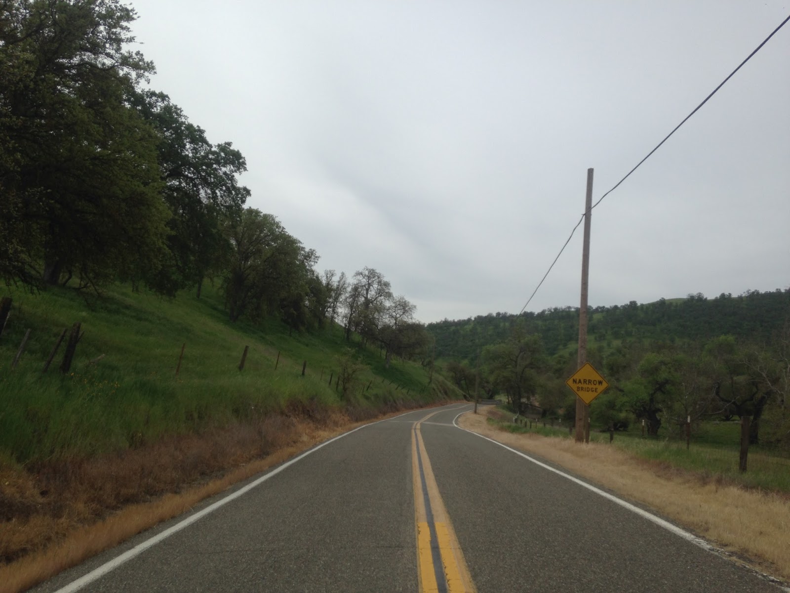


I did take CA 245 a month later in May when CA 180 to Cedar Grove opened up. It seems like the perfect occasion to take the Challenger out on a cool mountain road.


CA 245 intersects Boyd Drive which used to be part of CA 63 before it was realigned north to CA 180 from Orosi.

South of Boyd Drive CA 245 takes one final big drop below 1,000 feet above sea level and begins to straighten out.

The next major junction on CA 245 southbound is CA 201.

Ahead is Signed County Route J27 on Road 200 which of course isn't actually signed in the field as per standard in Tulare County.

There is a hell of a view of the Sierras as CA 245 takes a turn on Avenue 364 and Road 204. CA 245 has a lot of 90 degree turns in Sierra Foothills which snake through ranches.


CA 245 enters Woodlake which is the only major locality on the entire route. CA 245 junctions CA 216 in downtown at a roundabout.


South of Woodlake CA 245 is only 6 miles in length before terminating at CA 198. There are a couple more 90 degree turns on CA 245 before the south terminus.



The history of CA 245 is tied to CA 65. CA 245 was originally part of Signed State Route 65 back in 1934 and terminated at SSR 180 which used Dunlap Road at the time. Basically it all makes sense given the modern north terminus of the southern segment of CA 65 terminates about a mile west of the modern south terminus of 245.
At some point between 1940 and 1942 SSR 180 was moved to modern alignment CA 180 takes on the Kings Canyon Highway and SSR 65 was extended north to where the modern northern terminus of CA 245 is now. The routing for SSR 180 on Dunlap Road and the eventual changes I described can be seen on these maps:
1935 Fresno County Road Map
1938 State Highway Map
1940 State Highway Map
1942 State Highway Map
In 1964 SSR 65 north of SSR 198 was renumbered to CA 69 as part of the highway renumbering. Basically this is where the second CA 65 comes from as there was a far reaching plan to have the highway extended to run east of CA 99. Apparently the signage change didn't take effect until 1965 for either 65 and 69. The changes can be seen on the following maps:
1963 State Highway Map
1964 State Highway Map
1965 State Highway Map
According to rumor and conjecture the reason CA 69 was reassigned as CA 245 was due to sign theft.
http://www.aaroads.com/forum/index.php?topic=17893.msg2155550#msg2155550
Which really is a compelling enough story that is even on cahighways:
http://www.cahighways.org/065-072.html
The above article states that the legislative definition of CA 69 was changed to CA 245 in 1972. The only maps from the time period that I've been able to find would be from 1970 and 1975:
1970 State Highway Map
1975 State Highway Map
Comments
If you’re riding with someone with any tendency for car sickness, you better be careful on the first 10 miles traveling south from 180