A couple years ago I was asked to look into whether a road in Mariposa County called "Old Highway" was once part of California State Route 140. In my research I found that Old Highway was not ever part of CA 140 but it was a former segment of Legislative Route Number 18. This past weekend I returned to Mariposa County to drive the entirety of Old Highway.
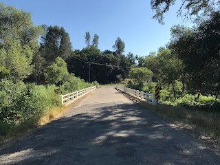
Old Highway is a 15 segment of roadway in the Sierra Foothills which spans from Catheys Valley at CA 140 eastward to CA 49 in Mormon Bar. The general course of Old Highway runs southward to the modern alignment of CA 140.
The origins of LRN 18 date back to the 1909 First State Highway Bond Act. In 1909 a new State Highway from Merced to Mariposa was declared by the State Legislature during the First State Highway Bond. The route from Merced to Mariposa eventually became Legislative Route Number 18. State Highway travel to Yosemite via the Merced River Canyon began when a new route from Mariposa east to El Portal was adopted as an extension of LRN 18 in 1916. CAhighways.org offers more history regarding the legislative history of CA 140 and LRN 18.
CAhighways.org on LRN 18
CAhighways.org on CA 140
Previous to Old Highway being built traffic headed towards Mariposa had to use Old Toll Road near Hornitos or White Rock Road. By 1913 the route of what would become LRN 18 between Merced and Yosemite Valley was surveyed. Construction of LRN 18 began from the Mariposa County Line eastward towards Miles Creek in late 1915. By May 1918 the route of Old Highway from Catheys Valley to Mariposa had opened to traffic. Work on LRN 18 all the way east to Yosemite had been delayed by World War I but was completed by 1926 as evidenced by bridge work on CA 140 in the Merced River Canyon. More on the over all history of CA 140 and LRN 18 can be found on the blog below.
California State Route 140 and El Portal Road
By 1932 a new alignment of LRN 18 north of Old Highway appears on the State Highway Map. It appears the new route of LRN 18 was still under construction as Old Highway was clearly still under State Maintenance.
1932 State Highway Map
Old Highway is no longer shown as part of LRN 18 on the 1934 State Highway Map nor the 1935 California Division of Highways Map of Mariposa County.
1934 State Highway Map
1935 California Division of Highways Map of Mariposa County
For reference this map I drew of the Mariposa Area for the Golden Chain Highway project shows the position of Old Highway relative to modern CA 140. LRN 18 was dropped as the hidden designation of CA 140 near Mariposa as part of the 1964 California State Highway Renumbering.

My approach to Old Highway was from CA 140 east in Catheys Valley.


Most of Old Highway is a somewhat wide single lane track that is poorly paved. Old Highway quickly crosses Miles Creek after splitting away from CA 140.


Old Highway splits away from Miles Creek and has one major bail-out junction at School House Road which can take traffic back to CA 140. There are several old road cuts that show evidence of early State Highway construction.


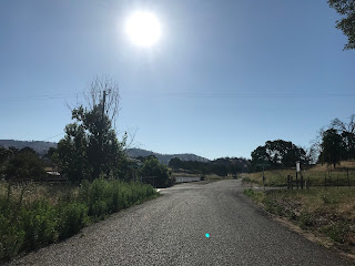
Old Highway begins to gradually ascend on a somewhat straight path for several miles before traffic is advised of 6 miles of curved roadway.


As the curvy section of Old Highway begins San Joaquin Valley can be seen off in the distance. Old Highway surprisingly carries a peak elevation of only approximately 1,800 feet above sea level.

Old Highway snakes through the Sierra Foothills meeting few connecting roads along the way. Old Highway eventually snakes northward and meets a significant junction with the former stage route of White Rock Road.


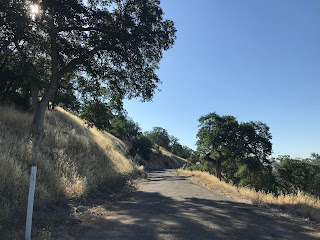


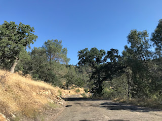


Upon intersecting White Rock Road the alignment of Old Highway follows the general path of the former stage route north to Mariposa. The path of Old Highway begins to straighten approaching Agua Fria Creek.


At Agua Fria Creek there is a older bridge that appears from the mid-20th Century (I couldn't find a date stamp) along with a historic monument for the ghost town called Bridgeport. Bridgeport was built initially as a trade post along Agua Fria Creek for miners heading towards Mariposa and Mormon Bar. Bridgeport faded into obscurity as mining in the area declined but the trade post remained until LRN 18 was realigned onto the modern route of CA 140 to the north.


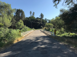

Old Highway widens out to a two-lane road at Yaqui Gulch Road. From Yaqui Gulch Road the route of Old Highway is signed as being 5 miles from Mariposa.


The intersection of Old Highway and Yaqui Gulch Road contains a monument detailing the history of early LRN 18 in great detail. Honestly this might be the most informative historic marker dedicated to a highway I've seen in a California.


Old Highway begins to descend towards Mariposa Creek and has a direct access road to Mormon Bar via the aptly named Morman Bar Crossing.


Old Highway crosses Mariposa Creek and terminates at CA 49 just south of Mariposa.


Old Highway is a 15 segment of roadway in the Sierra Foothills which spans from Catheys Valley at CA 140 eastward to CA 49 in Mormon Bar. The general course of Old Highway runs southward to the modern alignment of CA 140.
The origins of LRN 18 date back to the 1909 First State Highway Bond Act. In 1909 a new State Highway from Merced to Mariposa was declared by the State Legislature during the First State Highway Bond. The route from Merced to Mariposa eventually became Legislative Route Number 18. State Highway travel to Yosemite via the Merced River Canyon began when a new route from Mariposa east to El Portal was adopted as an extension of LRN 18 in 1916. CAhighways.org offers more history regarding the legislative history of CA 140 and LRN 18.
CAhighways.org on LRN 18
CAhighways.org on CA 140
Previous to Old Highway being built traffic headed towards Mariposa had to use Old Toll Road near Hornitos or White Rock Road. By 1913 the route of what would become LRN 18 between Merced and Yosemite Valley was surveyed. Construction of LRN 18 began from the Mariposa County Line eastward towards Miles Creek in late 1915. By May 1918 the route of Old Highway from Catheys Valley to Mariposa had opened to traffic. Work on LRN 18 all the way east to Yosemite had been delayed by World War I but was completed by 1926 as evidenced by bridge work on CA 140 in the Merced River Canyon. More on the over all history of CA 140 and LRN 18 can be found on the blog below.
California State Route 140 and El Portal Road
By 1932 a new alignment of LRN 18 north of Old Highway appears on the State Highway Map. It appears the new route of LRN 18 was still under construction as Old Highway was clearly still under State Maintenance.
1932 State Highway Map
Old Highway is no longer shown as part of LRN 18 on the 1934 State Highway Map nor the 1935 California Division of Highways Map of Mariposa County.
1934 State Highway Map
1935 California Division of Highways Map of Mariposa County
For reference this map I drew of the Mariposa Area for the Golden Chain Highway project shows the position of Old Highway relative to modern CA 140. LRN 18 was dropped as the hidden designation of CA 140 near Mariposa as part of the 1964 California State Highway Renumbering.

My approach to Old Highway was from CA 140 east in Catheys Valley.


Most of Old Highway is a somewhat wide single lane track that is poorly paved. Old Highway quickly crosses Miles Creek after splitting away from CA 140.


Old Highway splits away from Miles Creek and has one major bail-out junction at School House Road which can take traffic back to CA 140. There are several old road cuts that show evidence of early State Highway construction.


Old Highway begins to gradually ascend on a somewhat straight path for several miles before traffic is advised of 6 miles of curved roadway.


As the curvy section of Old Highway begins San Joaquin Valley can be seen off in the distance. Old Highway surprisingly carries a peak elevation of only approximately 1,800 feet above sea level.

Old Highway snakes through the Sierra Foothills meeting few connecting roads along the way. Old Highway eventually snakes northward and meets a significant junction with the former stage route of White Rock Road.


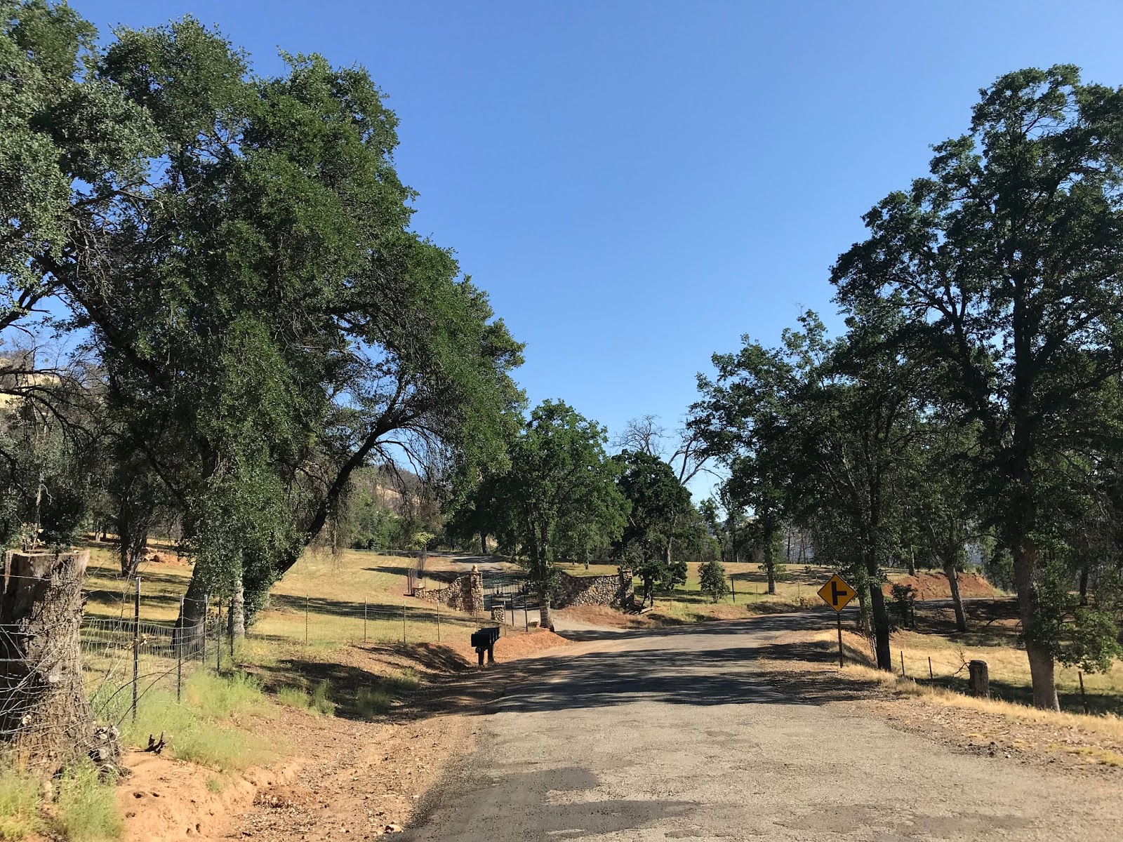

Upon intersecting White Rock Road the alignment of Old Highway follows the general path of the former stage route north to Mariposa. The path of Old Highway begins to straighten approaching Agua Fria Creek.


At Agua Fria Creek there is a older bridge that appears from the mid-20th Century (I couldn't find a date stamp) along with a historic monument for the ghost town called Bridgeport. Bridgeport was built initially as a trade post along Agua Fria Creek for miners heading towards Mariposa and Mormon Bar. Bridgeport faded into obscurity as mining in the area declined but the trade post remained until LRN 18 was realigned onto the modern route of CA 140 to the north.


Old Highway widens out to a two-lane road at Yaqui Gulch Road. From Yaqui Gulch Road the route of Old Highway is signed as being 5 miles from Mariposa.


The intersection of Old Highway and Yaqui Gulch Road contains a monument detailing the history of early LRN 18 in great detail. Honestly this might be the most informative historic marker dedicated to a highway I've seen in a California.


Old Highway begins to descend towards Mariposa Creek and has a direct access road to Mormon Bar via the aptly named Morman Bar Crossing.


Old Highway crosses Mariposa Creek and terminates at CA 49 just south of Mariposa.


Comments