California State Route 200

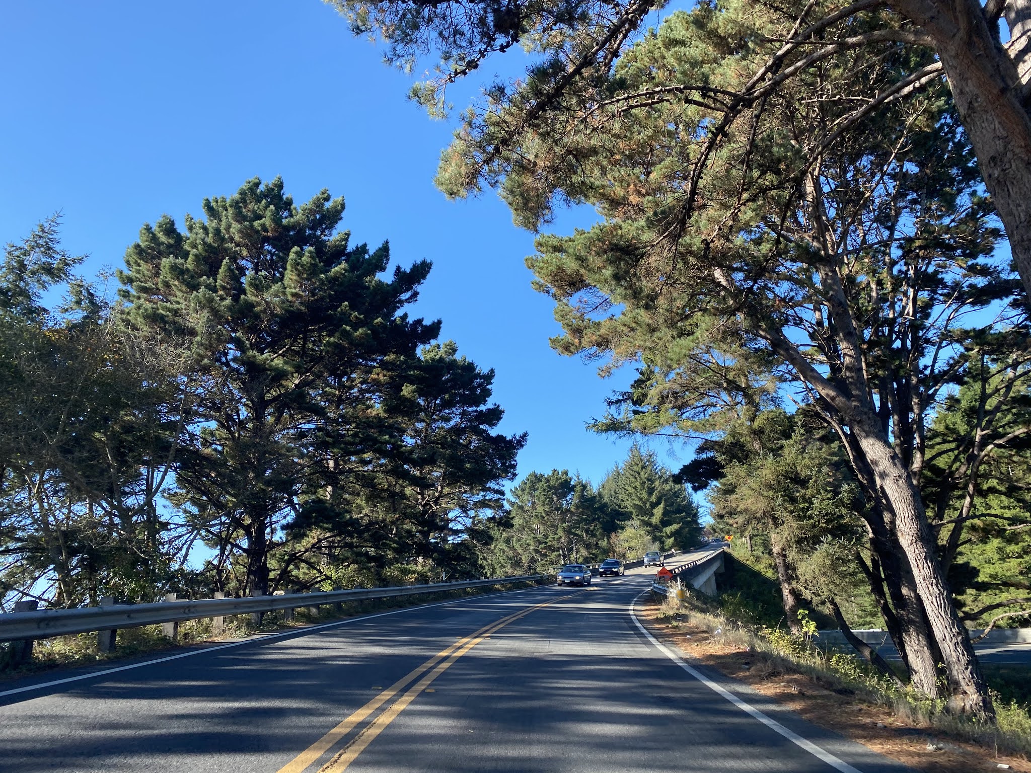
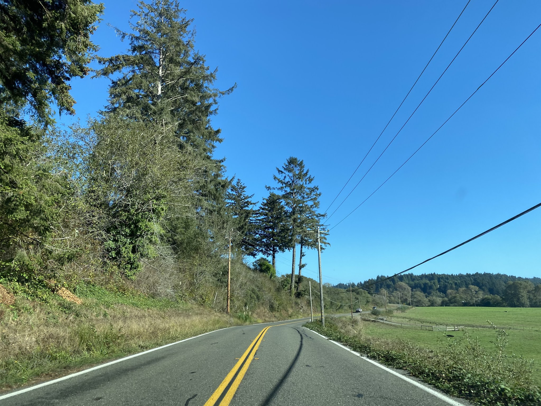
During 2016 while visiting Northern California I ended up taking California State Route 200 as a cut-off from US Route 101 east to California State Route 299.


CA 200 is a small 3 mile State Highway signed on North Bank Road within Humboldt County near the community of Arcata.  CA 200 follows the north bank of the Mad River and serves as a connector route between US 101 east to CA 299.


Part 1; the history of California State Route 200

North Bank Road along the Mad River existed before it was added to the State Highway System.  North Bank Road can be seen as a connecting road in the vicinity of Arcata between Legislative Route 1 (future US 101) east to Legislative Route 20 (future US 299/CA 299) on the 1917 California State Automobile Association Map of California.


North Bank Road was added to the State Highway System during 1933 as Legislative Route 85.  Legislative Route 85 can be seen aligned between US 101/Legislative Route 1 and US 299/Legislative Route 20 on the 1935 California Division of Highways Map of Humboldt County.


During the 1964 State Highway Renumbering Legislative Route 85 was assigned CA 200.  The change from Legislative Route 85 to CA 200 can be seen on the 1964 Division of Highways State Map.
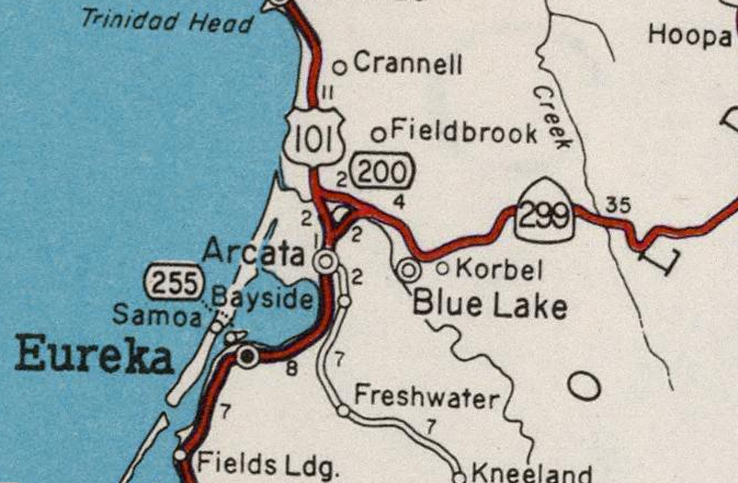

CA 200 appears to have been field signed by 1969 as indicated by the Division of Highways State Map from said year.  Since 1969 there has been virtually no changes to CA 200 and the highway has appeared to have always followed the same general alignment on North Bank Road. 


Part 2; a virtual drive on California State Route 200 westbound

Our virtual drive on CA 200 begins on CA 299 westbound.  CA 299 westbound junctions CA 200 westbound at Exit 2.  Note; all below images are take from Google Street View as I didn't have the presence in mind to take a photo log of CA 200 back during 2016.  


CA 200 west is signed as a bicycle route due to the present expressway status of US 101 and CA 299.  CA 200 initially is wide enough shoulder to accommodate bicycle traffic but quickly narrows. 


CA 200 upon narrowing approaches a bluff on the north bank of the Mad River.
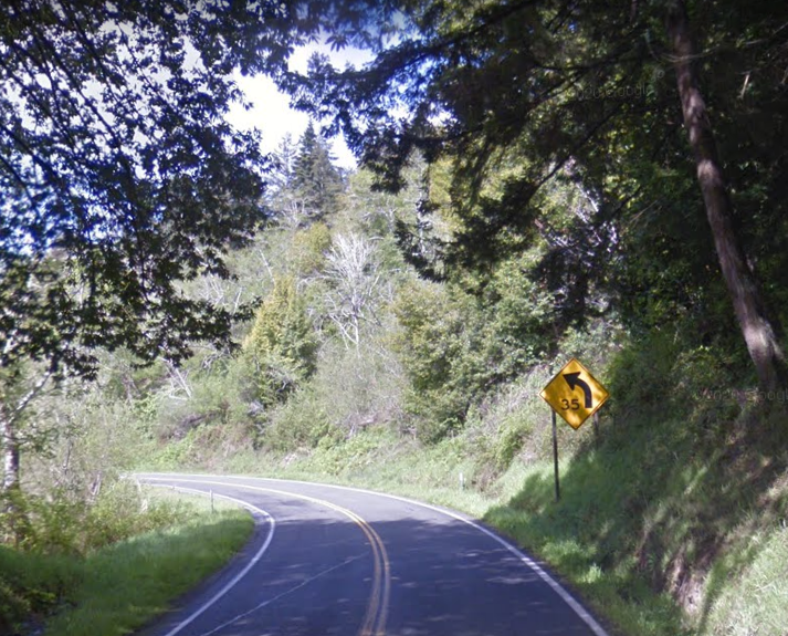

CA 200 west continues on a largely direct line whereas the Mad River meanders away via a gooseneck.  Upon pulling away from the Mad River CA 200 opens onto a valley landscape.


At Post Mile HUM 1.293 CA 200 intersects Azalea Avenue which is the access point for Azalea State Reserve.


CA 200 west again meets the Mad River and climbs to a bluff along the north bank.


CA 200 west terminates at the modern US 101 expressway and an at-grade intersection with US 101 Business on Central Avenue.


Part 3; a drive on California State Route 200 eastbound

From US 101 southbound CA 200 begins from Exit 718 at North Bank Road.  CA 200 eastbound begins at the end of the southbound ramp on the US 101 Business Route.


CA 200 eastbound makes a left hand turn at the US 101 northbound ramp at Postmile HUM R0.42 onto North Bank Road.

Azalea State Preserve is signed as 1 mile away on CA 200 east.  CA 299 is signed as 2 miles away on CA 200 east. 
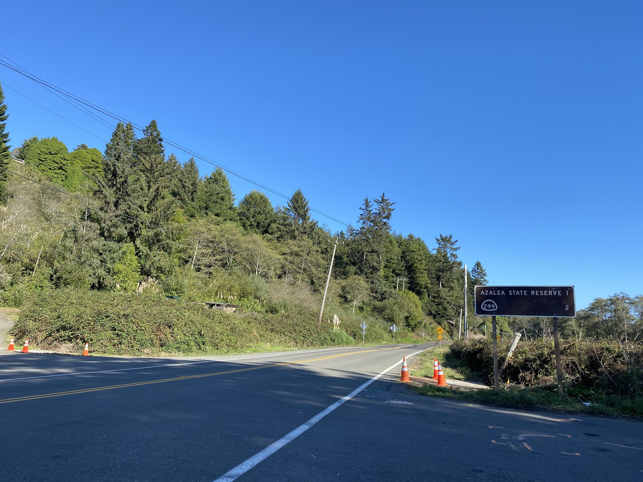
At Postmile HUM 1.289 CA 200 east intersects Azalea Avenue which is signed as access to the Azalea State Reserve. 


CA 200 eastbound follows North Bank Road to a terminus at CA 299.


Comments

Doug-O said…
I am puzzled by the label 'Old Highway 200' that is evident on Google Maps for a road ~5 miles east of the route discussed here that appears to be an old alignment of the Trinity Highway. Why isn't it marked 'Old Highway 299?'

Popular posts from this blog

Grand Loop Road of Yellowstone National Park

  Grand Loop Road is a 140 mile loop highway which traverses the interior of Yellowstone National Park.  Grand Loop Road connects all of the major attractions and geological features of Yellowstone National Park along with the entrance roads.  Grand Loop Road is a seasonal highway and despite some conjecture never has been part of the US Route System.   Part 1; the history of Grand Loop Road The majority of history pertaining to Grand Loop Road was taken from the below National Park Service article: Historic Roads - Yellowstone National Park (U.S. National Park Service) (nps.gov) Yellowstone was declared the first National Park of the United States on March 1st, 1872.  The first real highway to access Yellowstone National Park came in 1873 when a tolled facility was constructed from Bozeman, Montana via Yankee Jim Canyon to Mammoth Hot Springs.  Numerous attempts were made to fund construction of roadway infrastructure during the early years of Yellows...

The last 1956-63 era California Sign State Route Spade?

Along southbound California State Route 170 (the Hollywood Freeway Extension) approaching the Hollywood Freeway/Ventura Freeway interchange a white California State Route 134 Sign State Route Spade can be observed on guide sign.  These white spades were specifically used during the 1956-63 era and have become increasingly rare.  This blog is intended to serve as a brief history of the Sign State Route Spade.  We also ask you as the reader, is this last 1956-63 era Sign State Route Spade or do you know of others?  Part 1; the history of the California Sign State Route Spade Prior to the Sign State Route System, the US Route System and the Auto Trails were the only highways in California signed with reassurance markers.  The creation of the US Route System by the American Association of State Highway Officials during November 1926 brought a system of standardized reassurance shields to major highways in California.  Early efforts to create a Sign State Route ...

California State Route 70; the Feather River Highway

From 2017 through to early 2019 I drove the majority of the California State Route 70; the Feather River Highway from CA 89 southwest to CA 99. CA 70 is an approximately 178.5 mile state highway which starts at US 395 near the Nevada State Line and travels west through the Feather River Canyon to CA 99.  CA 70 is often referred to as the Feather River Highway" given it's close association with the river.  Historically CA 70 was previously signed as US 40A and CA 24.  The Legislative Routes prior to the 1964 California Highway Renumbering that made up the current route of CA 70 are as follows: -  Legislative Route Number 21 from US 395 westward to Oroville. -  LRN 87 from Oroville south to Marysville. -  LRN 232 from Marysville to the current junction with CA 99.  CA 70 was even dual signed with CA 99 into Sacramento on what was LRN 232 for a time. The change from US 40A/LRN 21/LRN 87/LRN 232 can be seen by comparing the 1963 State Highway Ma...