This past month I took a scenic detour from California State Route 168 via Auberry Road from Pine Ridge to Prather Auberry Road is part of the signed Fresno County Wildflower Trail.












The Wildflower Trail is a scenic tour loop which begins in downtown Clovis and ascends to Pineridge in the Sierra Nevada Mountains. The Wildflower Trail much like the Blossom Trail and Orange Blossom Trail is meant to feature an aspect of the botany of Fresno County; in this particular case wildflowers.

The map above by Fresno County cites when specific flowers are blooming, more information can be found the Sierra Nevada Geotourism website. My trip onto the Auberry Road portion of the Wildflower Trail was made on the basis that it carries a massive down hill descent. Auberry Road looping from CA 168 descends from approximately 4,800 feet above sea level in Pineridge to approximately 1,700 feet above sea level in Prather in just under 16 miles.

Auberry Road itself is a very old rural highway which served as an alternate stage route to the sawmills at Shaver over the Tollhouse Grade. Auberry Road appears on the below 1914 C.F. Weber & Company Map of Fresno Company.

Note; the San Joaquin & Eastern Railroad can be seen running through Auberry above. The San Joaquin & Eastern Railroad was a 56 mile line branching from the Southern Pacific Railroad in Fresno which was built in 1912. The San Joaquin & Eastern Railroad was built to facilitate construction of Dam #1, Dam #2 and Dam #3 of the Big Creek Hydroelectric Project which formed Huntington Lake. The full line of the San Joaquin & Eastern Railroad can be viewed on the abandonedrails.com page. The San Joaquin & Eastern Railroad was abandoned by the Big Creek Project in 1933 and much of it's former grade has become remote Forest Service roads in Sierra National Forest.
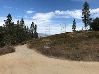
My journey west on Auberry Road began at CA 168 in Pineridge at approximately 4,800 feet above sea level. Pineridge was originally known as "Kenyon" when it first obtained Post Office service in 1890. Kenyon became "Pine Ridge" in 1892 and finally "Pineridge" in 1895. As CA 168 westbound opens up to a four-lane expressway Auberry Road can be accessed by veering to the right. In the distance in the third photo below a Wildflower Trail shield can be seen on Auberry Road.


Auberry Road from CA 168 is signed as 3 miles from Alder Springs. Auberry Road westbound passes by the Pine Ridge Elementary School before crossing under the power lines of the Big Creek Project at Musick Farm Road.


From Musick Farm Road the massive San Joaquin River Canyon can be observed along with the cut made for the power lines. The grade of the San Joaquin & Eastern Railroad can be seen in depths below.


Auberry Road west of Musick Farm Road enters Alder Springs. Alder Springs is located at 4,426 feet above sea level.


Auberry Road westbound passes through Alder Springs and opens back up to a 55 MPH speed zone. On the outskirts of Alder Springs the route of Auberry Road passes by the Bald Mountain Fire Station.


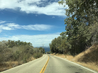
Auberry Road continues westward and begins to lose elevation upon opening up onto a vista Big Sandy Valley.


Auberry Road begins to snake through large switchbacks and briefly overlooks the Big Sandy Racheria.
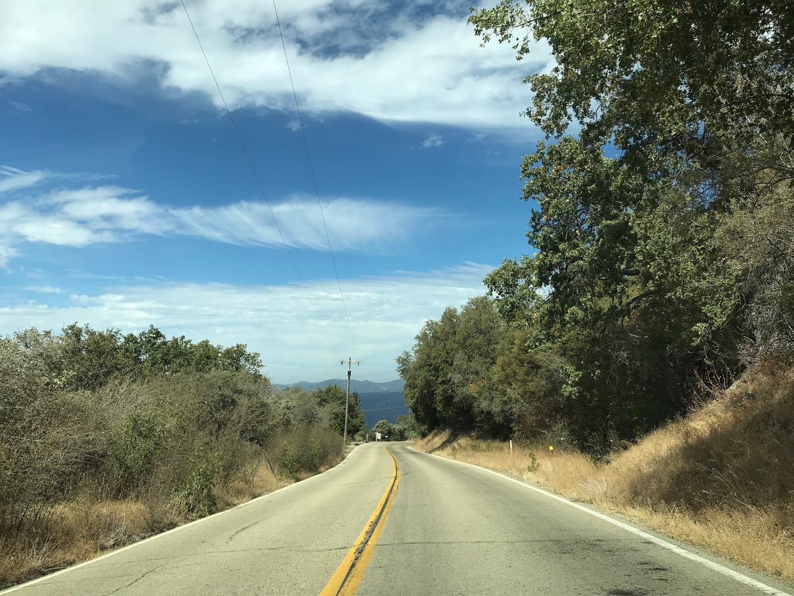


Auberry Road continues westbound through another series of switchbacks before reaching the Big Sandy Racheria at Jose Basin Road. West of Jose Basin Road the route of Auberry Road exits Sierra National Forest. The Big Sandy Racheria is home to a Mono Tribe which had a 2010 population of 118 residents. The Big Sandy Racheria was purchased by the Bureau of Indian Affairs in 1909.


Auberry Road snakes westbound through another set of switch backs and enters Auberry at the intersection with Powerhouse Road.


Auberry is located at 2,018 above sea level and is just south of the San Joaquin River. Auberry dates back to the 1880s and first had Postal Service in 1884. The community of Auberry reported moved before several times before settling at it's present site circa 1906. In 1912 Auberry became a siding of the San Joaquin & Eastern Railroad. The San Joaquin & Eastern Railroad crosses through Auberry on what is now SJ and E Road.
Reportedly the gas station awning in the photo below is all that remains of a larger General Store complex which burned in 1980. There is also an closed general store in addition to a silo building which also date back to the heyday of Auberry. Much of the commerce that was once in Auberry has shifted westward to Prather.


Auberry Road continues through Auberry before meeting CA 168 again at Lodge Road. CA 168 westbound continues as Auberry Road to Prather whereas eastbound CA 168 continues as Lodge Road to the four-lane expressway grade.


CA 168 originally was aligned on Tollhouse Road and bypassed Prather. CA 168 was realigned off Tollhouse Road into Prather and by proxy partially Auburry Road at some point between 1970 and 1975. The alignment of CA 168 through Prather was meant to be an interim routing to the recently completed expressway segment. The expressway was planned to continue all the way westward towards
Clovis. The planned rerouting of CA 168 along with the realignment into Prather can seen on the 1975 Caltrans State Highway Map.

Auberry Road splits away from CA 168 at a recently constructed roundabout in Prather. Auberry Road continues another approximately 19 miles to Copper Avenue on the outskirts of Fresno. Auberry Road west of Prather continues to carry the Wildflower Trail designation all the way to Copper Avenue.

Update 5/17/20: I happened to be out on Auberry Road this past weekend. That being the case I took a new set of photos of the western segment of Auberry Road so the full highway can be featured in this article.
As noted above Auberry Road joins CA 168 and enters Prather. Auberry Road splits away from CA 168 at a new roundabout. CA 168 follows Morgan Canyon Road towards Tollhouse Road and Clovis. Notably CA 168 through Morgan Canyon Road is signed with "T" Post Miles which indicate it was intended to be a temporary route. Millerton Lake is signed as 15 miles away from Prather.


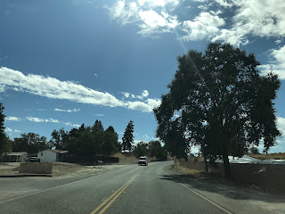
Auberry Road west of Prather begins to slowly descend through the Sierra Foothills. Four miles west of Prather the route of Auberry Road passes by Marshall Station. Marshall Station is the location of what was once known as Wellbarn Station on the San Joaquin & Eastern Railroad.


Auberry Road west of Marshall Station continues to snake through the Sierra Foothills and has a major intersection at Old Millerton Road.


Old Millerton Road is referring to the original Fresno County Seat of Millerton which was on the San Joaquin River and was part of the Stockton-Los Angeles Road. Millerton traces it's origins back to the founding of Fort Miller during
the Mariposa War in May of 1851. Fort Miller was a fortification on
the south bank of the San Joaquin River originally designated as Camp
Barbour but was renamed in 1852. The community of Millerton came to
grew around Fort Millerton and remained even after said Fort was
abandoned in 1858. In 1856 Fresno County was created from parts of
Mariposa County, Merced County, and Tulare County. Millerton was
selected as the original County Seat of Fresno County due to it's ferry
location on the Stockton-Los Angeles Road at the San Joaquin River.
Milleton's ferry was located on a narrow canyon above the San Joaquin
River which made ferry crossings ideal due to the predictable width of
the waters. Later ferries such as Firebaugh's Ferry to the west in San
Joaquin Valley had unpredictable crossing width due to the water flow
out of the Sierras easily creating wide flood plains.
Auberry Road west of Old Millerton Road picks up modern Millerton Road near a Valero Station. Millerton Road is the primary access road west towards; Table Mountain Casino, Lake Millerton, and Friant.


West of Millerton Road the route of Auberry Road enters the final drop through the Sierra Foothills and crosses the Kern-Friant Canal.


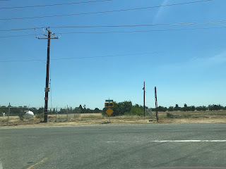
Auberry Road continues southwest through a trace incorporated part of Clovis and enters San Joaquin Valley. Auberry Road takes a southward jog upon entering San Joaquin Valley where it terminates at Copper Avenue near the northern City Limit of Fresno.


Comments
You did pass by Auberry Elementary School (AUES class of '84), which closed a few years ago, but it's now going to be a training center for the CCC. And there are some efforts underway to revitalize our town, but they are still in the discussion stage.
Cressman's owner says he plans to rebuild, and efforts are already underway.