This past month I drove a segment of California State Route 126 from CA 23 in Fillmore east to Santa Clarita.

CA 126 in present form is a 47 mile east/west State Highway which has a western terminus in Ventura at US 101 and an eastern terminus on Newhall Ranch Road in Santa Clarita. CA 126 was created on Legislative Route Number 79 in 1934. LRN 79 was created in 1931 which followed the Santa Clara River between LRN 2/US 101 in Ventura east to LRN 4/US 99 in Castaic.
CAhighways.org on LRN 79
1934 Department of Public Works Guide announcing the State Highways
The original route of CA 126 as defined in 1934 used the following alignment from Ventura eastward:
- From US 101/LRN 2 in Ventura east on modern day Telegraph Road to Steckle Drive in Santa Paula.
- Steckle Drive to Main Street in Santa Paula.
- Main Street to Telegraph Road.
- Telegraph Road to Ventura Street in Fillmore.
- Ventura Street to Telegraph Road.
- Telegraph Road to Edwards Canyon Road.
- Edwards Canyon Road to Pacific Avenue.
- Pacific Avenue to Main Street in Piru.
- Main Street to Via Fustero in Piru.
- Via Fustero to Center Street in Piru.
- Center Street to Telegraph Road.
- Telegraph Road to the Los Angeles County line.
- From the Los Angeles County line Henry Mayo Drive.
- Henry Mayo Drive to US 99 on The Old Road near Castaic.
The above alignment above was gradually straightened and is still part of CA 126 on the segments not on the Santa Paula Freeway. The above alignment can be seen on the 1935 California Division of Highways Maps of Ventura County and Los Angeles County.
1935 Ventura County Highway Map
1935 Los Angeles County Highway Map
CA 126 appears to have been temporarily extended into downtown Ventura in 1963 via Main Street when US 101 was shifted to the Ventura Freeway.
1963 State Highway Map
In 1964 the route of CA 126 was extended from US 99 (modern I-5) east to what had been US 6 (modern CA 14) near Newhall Pass on a previously unsigned portion of LRN 79. 1964 is also notable since the first segment of the Santa Paula Freeway alignment of CA 126 between US 101 and CA 118 is shown complete. In full scope Santa Paula Freeway was intended to be built from the Ventura Freeway east to the Golden State Freeway.
1964 State Highway Map
For reference LRN 79 had been extended in 1939 over a former segment of LRN 4 between Castaic and Newhall. This partial section of CA 126 was relinquished in 2001 but carries historical significance as it was part of early US 99 leading to the Old Ridge Route. More on this segment of CA 126 east from I-5 to CA 14 near Newhall Pass can be found in Chapter 11 of the Legend of the Ridge Route blog.
Legend of the Ridge Route
The 1967 State Highway Map shows the current route of the Santa Paula Freeway between Ventura and Santa Paula as complete.
1967 State Highway Map
Presently there is plans to build a new alignment of CA 126 from I-5 east through Santa Clarita to CA 14 known as the Santa Clarita Veterans Parkway. The Santa Clarita Veterans Parkway was originally conceived as a freeway proposal by Caltrans in 1990. The freeway was ultimately rejected and a new plan known as the Cross-Town Connector was drafted in 2005 which became known as the Santa Clarita Veterans Parkway by 2016.
CAhighways.org on CA 126
My approach to CA 126 east was from CA 23 north in Fillmore of Ventura County. CA 126 east of CA 23 is signed on Ventura Street in Fillmore and is signed as 19 miles Santa Clarita.

CA 126 east of Fillmore becomes Telegraph Road and crosses a set of rails.

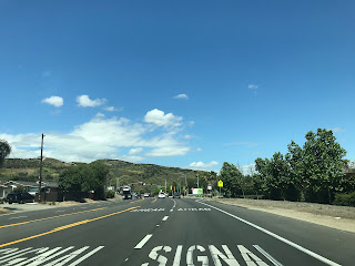


CA 126 east traverses the north bank of the Santa Clara River towards Santa Clarita. East of Sycamore Road CA 126 on Telegraph Road crosses the rails a second time.


As CA 126 east enters the outskirts of Piru the highway passes by it's former alignment on Main Street. Main Street is signed as access to the Lake Piru Recreation Area.


Modern CA 126 east bypasses Piru and picks up the other end of the original highway at Center Street.


CA 126 east of Piru passes by Rancho Camulos which was constructed in the 1850s off of a previous Mexican Land Grant.


CA 126 east continues on Telegraph Road to the Los Angeles County line.


CA 126 east follows Henry Mayo Drive to I-5 on the outskirts of Santa Clairta.


CA 126 east terminates just past I-5 in Santa Clarita on Newhall Ranch Road.


CA 126 in present form is a 47 mile east/west State Highway which has a western terminus in Ventura at US 101 and an eastern terminus on Newhall Ranch Road in Santa Clarita. CA 126 was created on Legislative Route Number 79 in 1934. LRN 79 was created in 1931 which followed the Santa Clara River between LRN 2/US 101 in Ventura east to LRN 4/US 99 in Castaic.
CAhighways.org on LRN 79
1934 Department of Public Works Guide announcing the State Highways
The original route of CA 126 as defined in 1934 used the following alignment from Ventura eastward:
- From US 101/LRN 2 in Ventura east on modern day Telegraph Road to Steckle Drive in Santa Paula.
- Steckle Drive to Main Street in Santa Paula.
- Main Street to Telegraph Road.
- Telegraph Road to Ventura Street in Fillmore.
- Ventura Street to Telegraph Road.
- Telegraph Road to Edwards Canyon Road.
- Edwards Canyon Road to Pacific Avenue.
- Pacific Avenue to Main Street in Piru.
- Main Street to Via Fustero in Piru.
- Via Fustero to Center Street in Piru.
- Center Street to Telegraph Road.
- Telegraph Road to the Los Angeles County line.
- From the Los Angeles County line Henry Mayo Drive.
- Henry Mayo Drive to US 99 on The Old Road near Castaic.
The above alignment above was gradually straightened and is still part of CA 126 on the segments not on the Santa Paula Freeway. The above alignment can be seen on the 1935 California Division of Highways Maps of Ventura County and Los Angeles County.
1935 Ventura County Highway Map
1935 Los Angeles County Highway Map
CA 126 appears to have been temporarily extended into downtown Ventura in 1963 via Main Street when US 101 was shifted to the Ventura Freeway.
1963 State Highway Map
In 1964 the route of CA 126 was extended from US 99 (modern I-5) east to what had been US 6 (modern CA 14) near Newhall Pass on a previously unsigned portion of LRN 79. 1964 is also notable since the first segment of the Santa Paula Freeway alignment of CA 126 between US 101 and CA 118 is shown complete. In full scope Santa Paula Freeway was intended to be built from the Ventura Freeway east to the Golden State Freeway.
1964 State Highway Map
For reference LRN 79 had been extended in 1939 over a former segment of LRN 4 between Castaic and Newhall. This partial section of CA 126 was relinquished in 2001 but carries historical significance as it was part of early US 99 leading to the Old Ridge Route. More on this segment of CA 126 east from I-5 to CA 14 near Newhall Pass can be found in Chapter 11 of the Legend of the Ridge Route blog.
Legend of the Ridge Route
The 1967 State Highway Map shows the current route of the Santa Paula Freeway between Ventura and Santa Paula as complete.
1967 State Highway Map
Presently there is plans to build a new alignment of CA 126 from I-5 east through Santa Clarita to CA 14 known as the Santa Clarita Veterans Parkway. The Santa Clarita Veterans Parkway was originally conceived as a freeway proposal by Caltrans in 1990. The freeway was ultimately rejected and a new plan known as the Cross-Town Connector was drafted in 2005 which became known as the Santa Clarita Veterans Parkway by 2016.
CAhighways.org on CA 126
My approach to CA 126 east was from CA 23 north in Fillmore of Ventura County. CA 126 east of CA 23 is signed on Ventura Street in Fillmore and is signed as 19 miles Santa Clarita.

CA 126 east of Fillmore becomes Telegraph Road and crosses a set of rails.


CA 126 east traverses the north bank of the Santa Clara River towards Santa Clarita. East of Sycamore Road CA 126 on Telegraph Road crosses the rails a second time.


As CA 126 east enters the outskirts of Piru the highway passes by it's former alignment on Main Street. Main Street is signed as access to the Lake Piru Recreation Area.


Modern CA 126 east bypasses Piru and picks up the other end of the original highway at Center Street.


CA 126 east of Piru passes by Rancho Camulos which was constructed in the 1850s off of a previous Mexican Land Grant.


CA 126 east continues on Telegraph Road to the Los Angeles County line.


CA 126 east follows Henry Mayo Drive to I-5 on the outskirts of Santa Clairta.


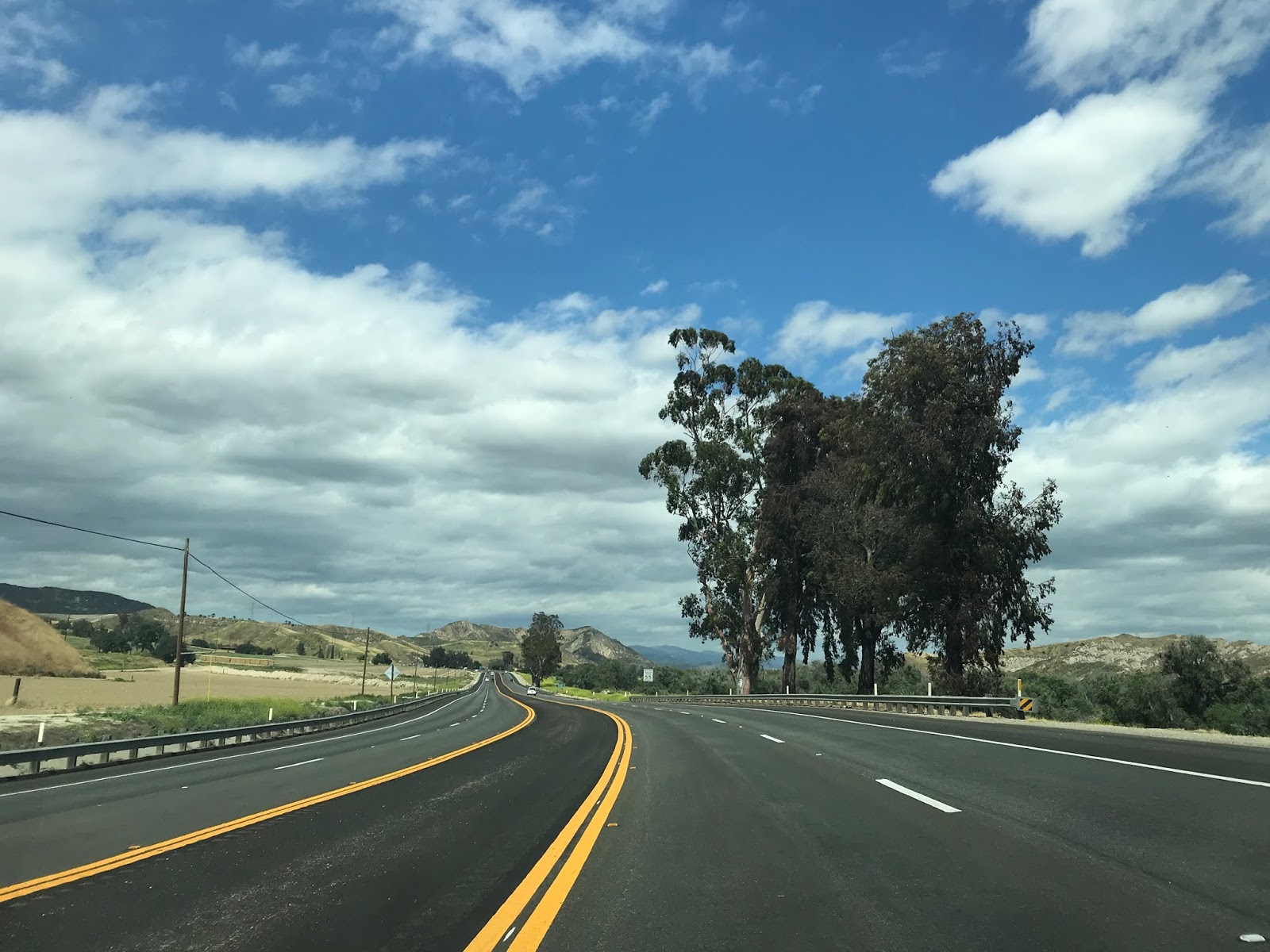


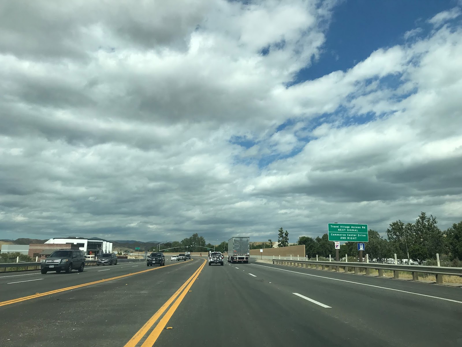


CA 126 east terminates just past I-5 in Santa Clarita on Newhall Ranch Road.


Comments
Looking at the 1935 Ventura County map, I think it's clear that the route at that time followed Telegraph Rd to (current) Old Telegraph Rd into Fillmore, not connecting to Ventura St west of town.
From there, I assume it followed A Street south for a block or two -- whether to Santa Clara St or Ventura St isn't clear (though it looks more like Santa Clara St to me), and from there to Telegraph Rd east.